Mollies Nipple (Hurricane- St.George)
West-facing ridge site · 1,333 m takeoff · 321 m height gain
Overview
Mollies Nipple (Hurricane- St.George) is a mountain site in United States with a recorded launch elevation of 1,333 m. It works best in westerly winds, and can also work in south-westerly and north-westerly winds. Pilots fly it for ridge soaring and thermal, using foot launch. It is recorded as suitable for cross-country flights.
- Take along a tarp for launch! Source: ParaglidingEarth
When to go
Flyable days per month in a typical year.
Flyable days for Mollies Nipple (Hurricane- St.George) are on the way. We are scoring ten years of weather for every site, month by month, against this site, its region and the sites around it.
Local weather notes
- Southwest Utah wx: http://www.wrh.noaa.gov/slc/current/meso.swut.php Source: ParaglidingEarth
Getting there
Nearest airports
- SGU St George Regional Airport21 km
- CDC Cedar City Regional Airport67 km
- PGA Page Municipal Airport166 km
Where to stay
The nearest towns, for a bed, food and a lift to takeoff.
- Hurricane6 km away · cityBooking.comAirbnb
- La Verkin9 km awayBooking.comAirbnb
- Washington19 km awayBooking.comAirbnb
Things to do
For the days the wind is wrong: places worth a visit within 10 km of Mollies Nipple (Hurricane- St.George).


Flying nearby
See them on the map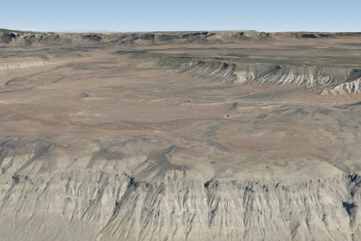
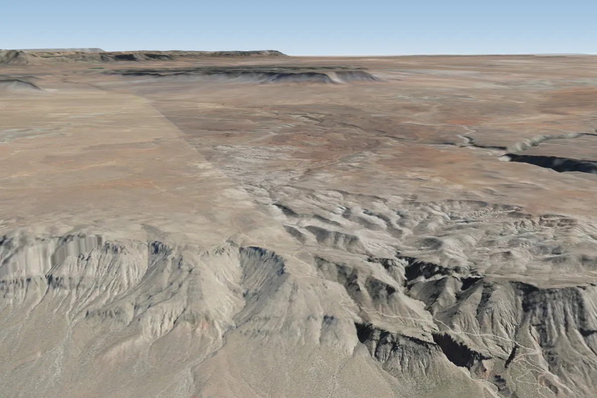
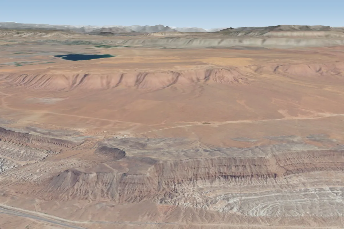
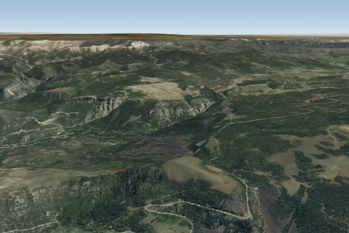
Pilot notes
No notes yet. Flown Mollies Nipple (Hurricane- St.George)? Tell the next pilot what to expect.
Pilot notes on Mollies Nipple (Hurricane- St.George)
Flying Mollies Nipple (Hurricane- St.George)?
Takeoff, landing, rules, the hour by hour forecast and live wind are in the site details on the map.
Open site detailsSources
- ParaglidingEarth site record © ParaglidingEarth contributors (CC BY-SA)