Mt.Edna (Marysvale- Richfield)
N to SW facing ridge site · 3,560 m takeoff · 1,701 m height gain
Overview
Mt.Edna (Marysvale- Richfield) is a mountain site in United States with a recorded launch elevation of 3,560 m. It works best in northerly, north-easterly, easterly, south-easterly, southerly and south-westerly winds, and can also work in westerly and north-westerly winds. Pilots fly it for ridge soaring and thermal, using foot launch. It is recorded as suitable for cross-country flights.
- > Don't forget your almost at 12000ft/ 3600m... > Check out the 'Utah Paragliding and Hang Gliding Handbook' by Stacy Whitmore (http://www.cuasa.com/Handbook.htm) for more info about Utah sites. Source: ParaglidingEarth
When to go
Flyable days per month in a typical year.
Flyable days for Mt.Edna (Marysvale- Richfield) are on the way. We are scoring ten years of weather for every site, month by month, against this site, its region and the sites around it.
Local weather notes
- Due to Altitude, weather conditions/ winds can change very rapidly! Source: ParaglidingEarth
Getting there
Nearest airports
- CDC Cedar City Regional Airport101 km
- PGA Page Municipal Airport180 km
- SGU St George Regional Airport182 km
Things to do
For the days the wind is wrong: places worth a visit within 10 km of Mt.Edna (Marysvale- Richfield).
 Mount BrighamOutdoors · 0.3 km awayMountain in Utah, United States
 Deer Trail MountainOutdoors · 3 km awayMountain in Utah, United States
 Delano PeakOutdoors · 3.8 km awayMountain in Utah, United States
 Tushar MountainsOutdoors · 3.8 km awayMountain range in Utah, United States
 Mount Belknap (Utah)Outdoors · 7.9 km awayMountain in Utah, United States
 Mount Baldy (Beaver County, Utah)Outdoors · 9 km awayMountain in the American state of Utah
Flying nearby
See them on the map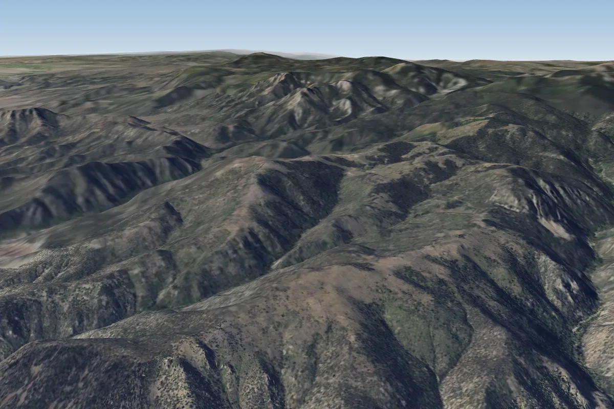 Gold Gulch7 km SE · Faces N–NE
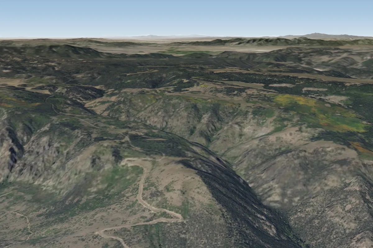 Junction14 km S · Faces E–SE
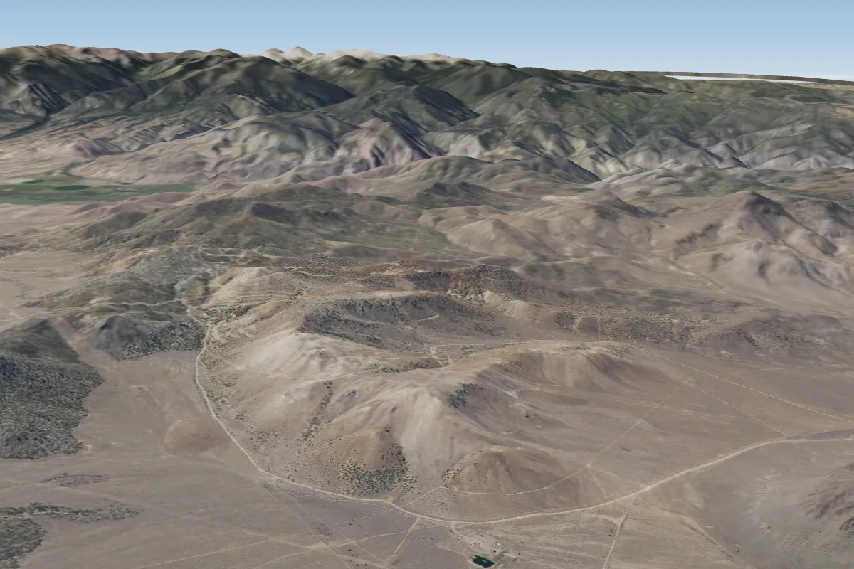 Poverty Ridge21 km NEPossible XC from here on a SW day, 21 km downwind
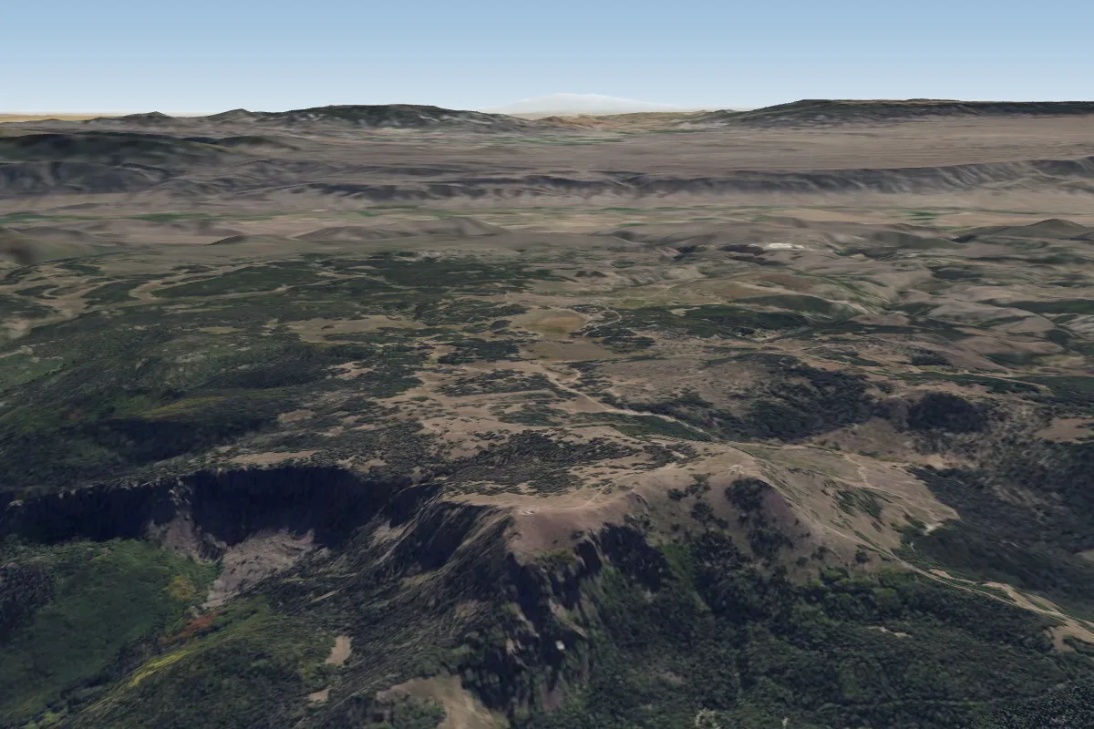 Monroe Peak (Richfield)29 km NE · Faces WPossible XC from here on a SW day, 29 km downwind
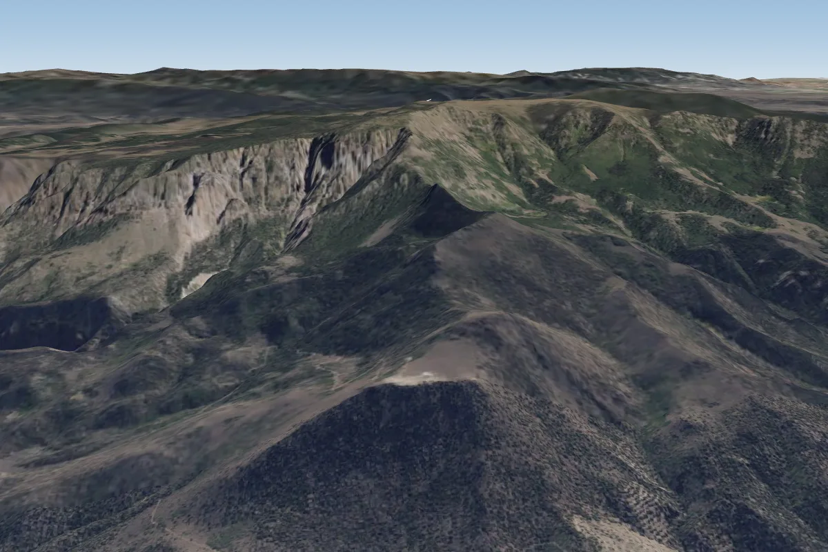 Cove (Richfield- Monroe)36 km NE · Faces N, S, WPossible XC from here on a SW day, 36 km downwind
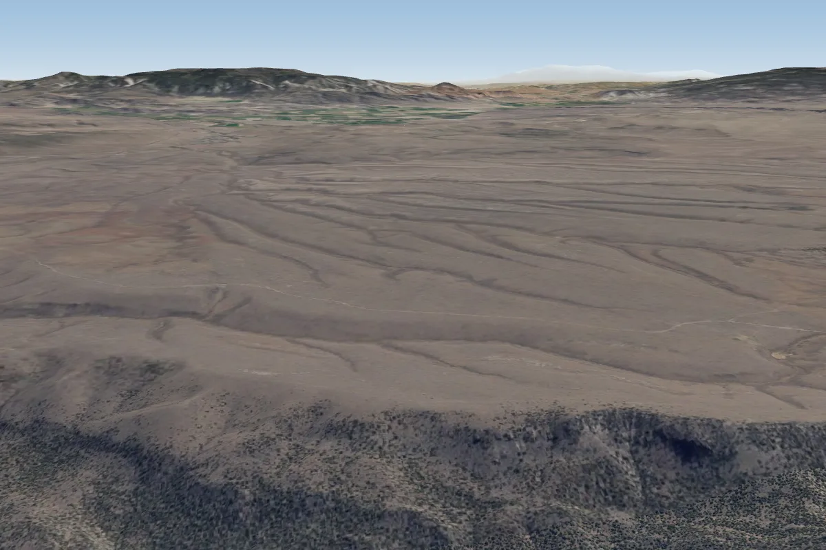 Parker (Koosherem)41 km E · Faces SW–NW
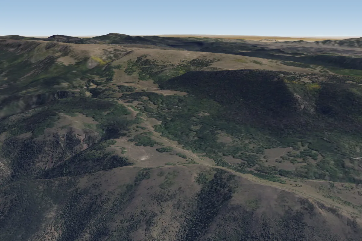 Hancock50 km NE · Faces SW–WPossible XC from here on a SW day, 50 km downwind
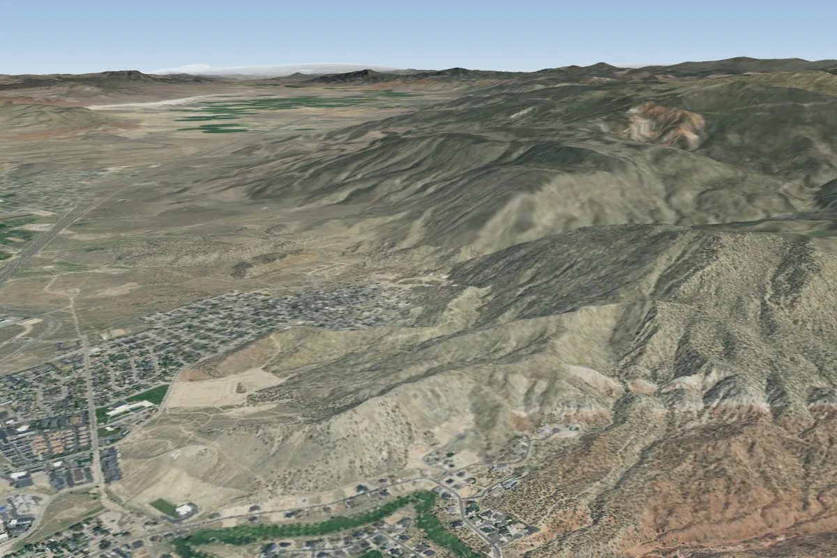 Cedar City Training Hill98 km SW · Faces N, S, SW, NW
Pilot notes
No notes yet. Flown Mt.Edna (Marysvale- Richfield)? Tell the next pilot what to expect.
Pilot notes on Mt.Edna (Marysvale- Richfield)
Flying Mt.Edna (Marysvale- Richfield)?
Takeoff, landing, rules, the hour by hour forecast and live wind are in the site details on the map.
Open site detailsSources
- ParaglidingEarth site record © ParaglidingEarth contributors (CC BY-SA)