Sky Ridge (Ketchum- Hailey)
South-west-facing ridge site · 2,048 m takeoff
Overview
Sky Ridge (Ketchum- Hailey) is a mountain site in United States with a recorded launch elevation of 2,048 m. It works best in south-westerly winds, and can also work in southerly and westerly winds. Pilots fly it for ridge soaring and thermal, using foot launch.
- Chuck Smith writes: Sky Ridge is 5 miles west of Hailey, the town 12 miles south of Ketchum. This dry west facing site is a 3 miles long ridge, and provides magnificent spring, summer and fall evening flying. Source: ParaglidingEarth
When to go
Flyable days per month in a typical year.
Flyable days for Sky Ridge (Ketchum- Hailey) are on the way. We are scoring ten years of weather for every site, month by month, against this site, its region and the sites around it.
Getting there
Nearest airports
- SUN Friedman Memorial Airport6 km
- TWF Joslin Field Magic Valley Regional Airport110 km
- BOI Boise Air Terminal/Gowen Field151 km
Things to do
For the days the wind is wrong: places worth a visit within 10 km of Sky Ridge (Ketchum- Hailey).
 J. C. Fox BuildingCulture · 6.7 km awayUnited States historic place
 St. Charles of the Valley Catholic Church and RectoryCulture · 6.7 km awayHistoric church in Idaho, United States
 Werthheimer BuildingCulture · 6.8 km awayUnited States historic place
 Blaine County Courthouse (Idaho)Culture · 6.8 km awayUnited States historic place
 Homer Pound HouseCulture · 6.8 km awayHistoric house in Idaho, United States
 Rialto HotelCulture · 6.9 km awayUnited States historic place
 W. H. Watt BuildingCulture · 6.9 km awayUnited States historic place
 Hailey Methodist Episcopal ChurchCulture · 6.9 km awayHistoric church in Idaho, United States
Flying nearby
See them on the map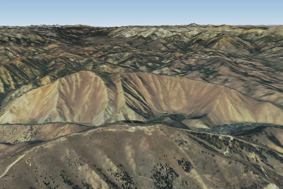
Pilot notes
No notes yet. Flown Sky Ridge (Ketchum- Hailey)? Tell the next pilot what to expect.
Pilot notes on Sky Ridge (Ketchum- Hailey)
Flying Sky Ridge (Ketchum- Hailey)?
Takeoff, landing, rules, the hour by hour forecast and live wind are in the site details on the map.
Open site detailsSources
- ParaglidingEarth site record © ParaglidingEarth contributors (CC BY-SA)