Skyport (Santa Barbara, CA)
South-facing thermal site · 892 m takeoff
Overview
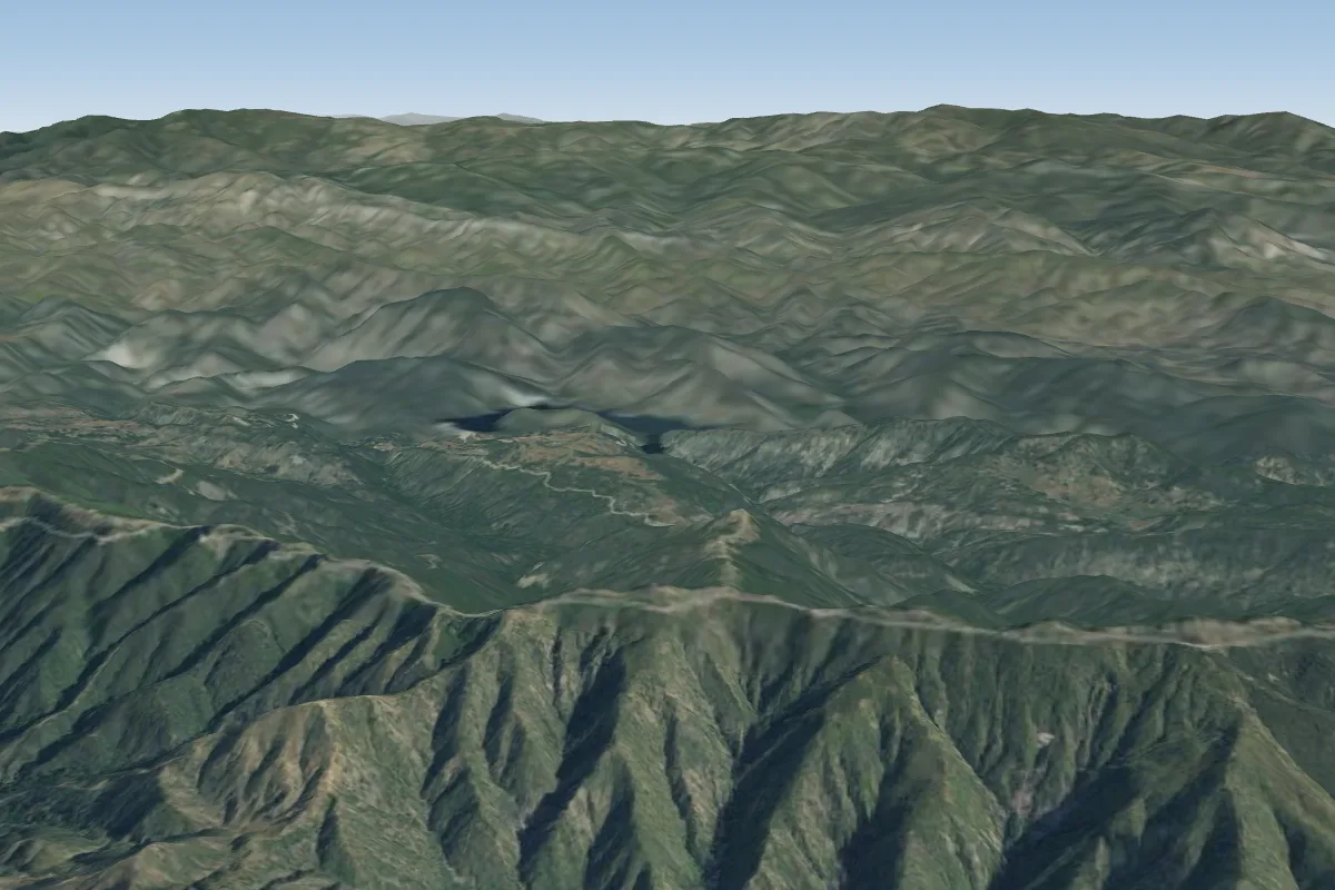
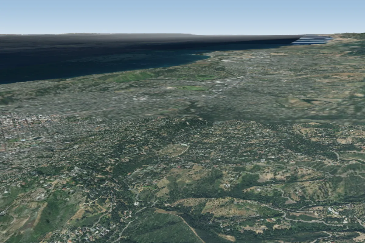
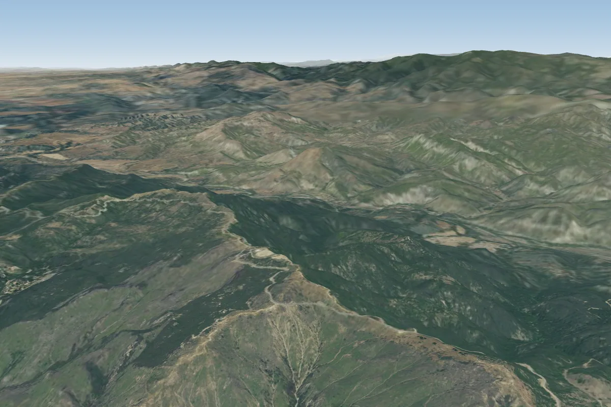
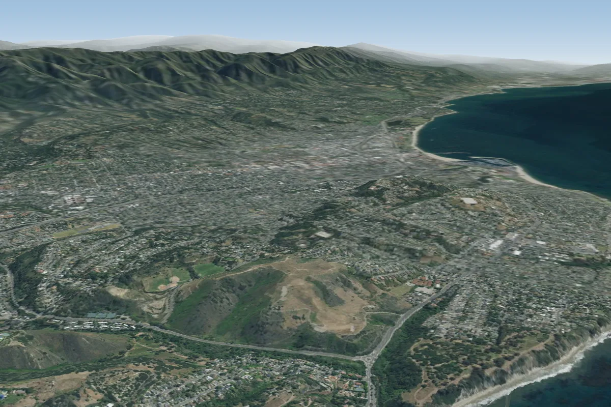
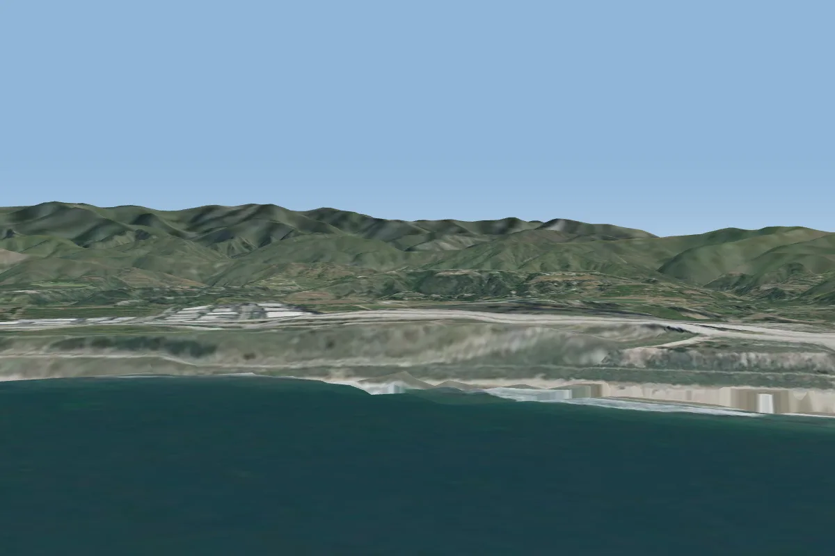
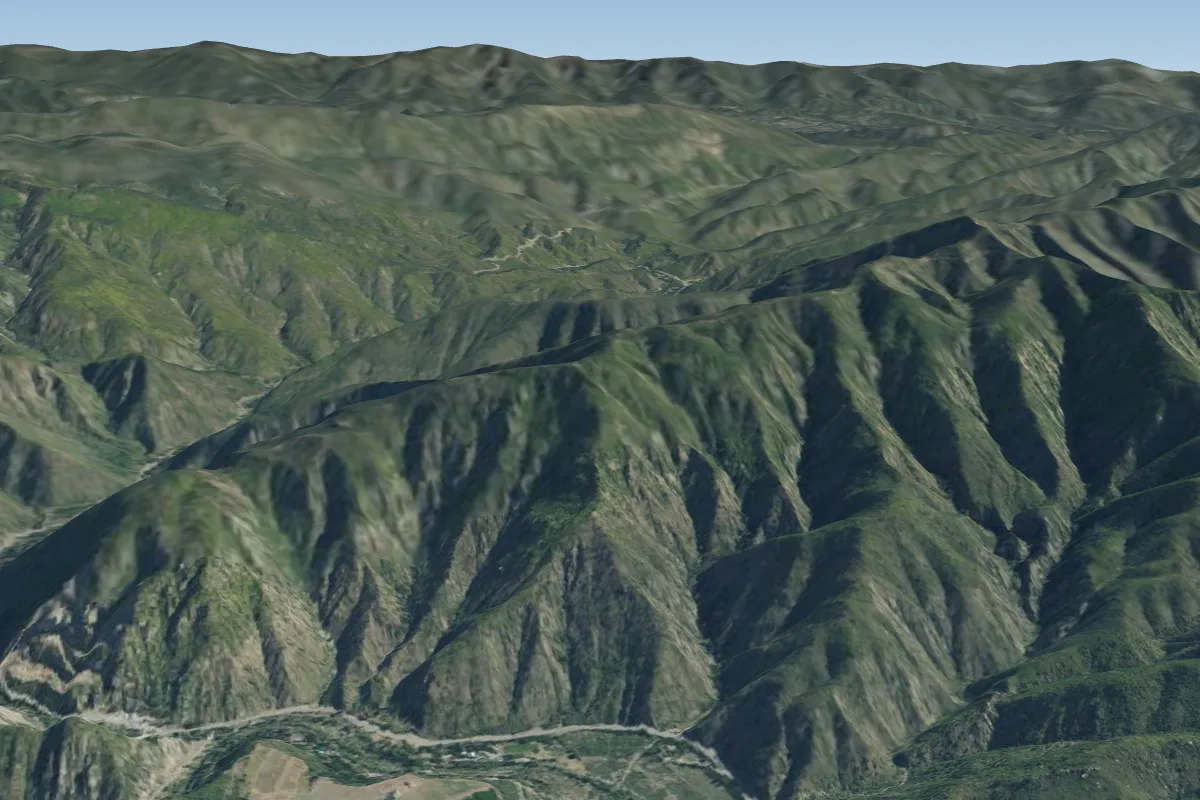
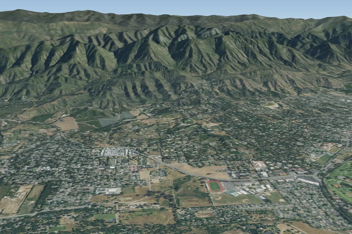
Skyport (Santa Barbara, CA) is a mountain site in United States with a recorded launch elevation of 892 m. It works best in southerly winds, and can also work in south-easterly and south-westerly winds. Pilots fly it for thermal, using foot launch. It is recorded as suitable for cross-country flights.
- The Santa Barbara flying sites are extremely sensitive to local politics. In the past, some of these sites have been suspended by the local government. Source: ParaglidingEarth
When to go
Flyable days per month in a typical year.
Flyable days for Skyport (Santa Barbara, CA) are on the way. We are scoring ten years of weather for every site, month by month, against this site, its region and the sites around it.
Getting there
Nearest airports
- SBA Santa Barbara Municipal Airport15 km
- SMX Santa Maria Public Airport Captain G Allan Hancock Field85 km
- BFL Meadows Field120 km
Things to do
For the days the wind is wrong: places worth a visit within 10 km of Skyport (Santa Barbara, CA).
 La Cumbre PeakOutdoors · 2.9 km awayMountain in California, United States
 Skofield ParkOutdoors · 3 km awayPark in Santa Barbara, California
 Parma ParkOutdoors · 3.4 km awayPark in Santa Barbara, California
 Santa Barbara Botanic GardenCulture · 3.8 km awayBotanical garden in Mission Canyon, Santa Barbara, California
 Franceschi ParkOutdoors · 4.6 km awayPark in Santa Barbara, California, United States
 Santa Ynez MountainsOutdoors · 4.7 km awayMountain range of the Transverse Ranges in California, United States
 LotuslandCulture · 4.9 km awayNon-profit botanical garden in Montecito, California
 Mission Historical ParkOutdoors · 5.4 km awayPublic park in Santa Barbara, California, United States
Flying nearby
See them on the map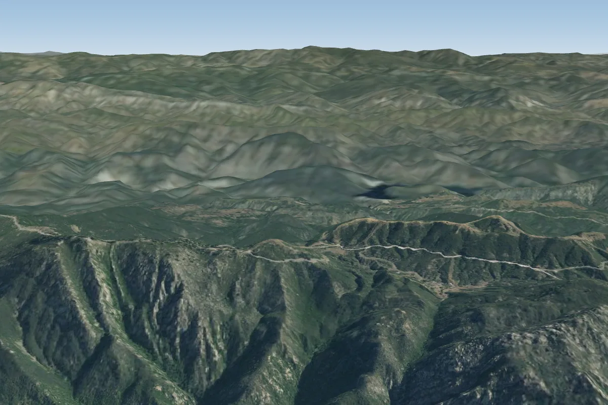
Pilot notes
No notes yet. Flown Skyport (Santa Barbara, CA)? Tell the next pilot what to expect.
Pilot notes on Skyport (Santa Barbara, CA)
Flying Skyport (Santa Barbara, CA)?
Takeoff, landing, rules, the hour by hour forecast and live wind are in the site details on the map.
Open site detailsSources
- ParaglidingEarth site record © ParaglidingEarth contributors (CC BY-SA)