Usal Beach North H&F
Site · 141 m takeoff
Overview
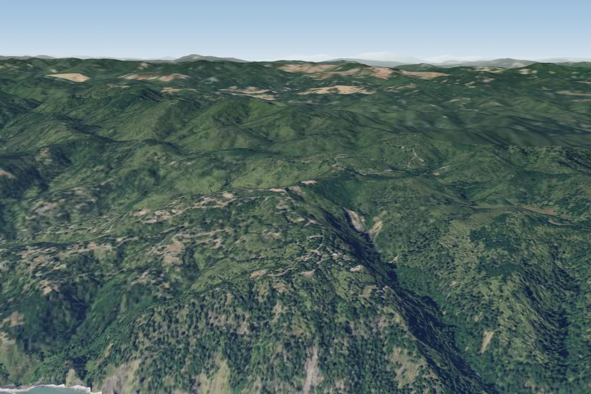
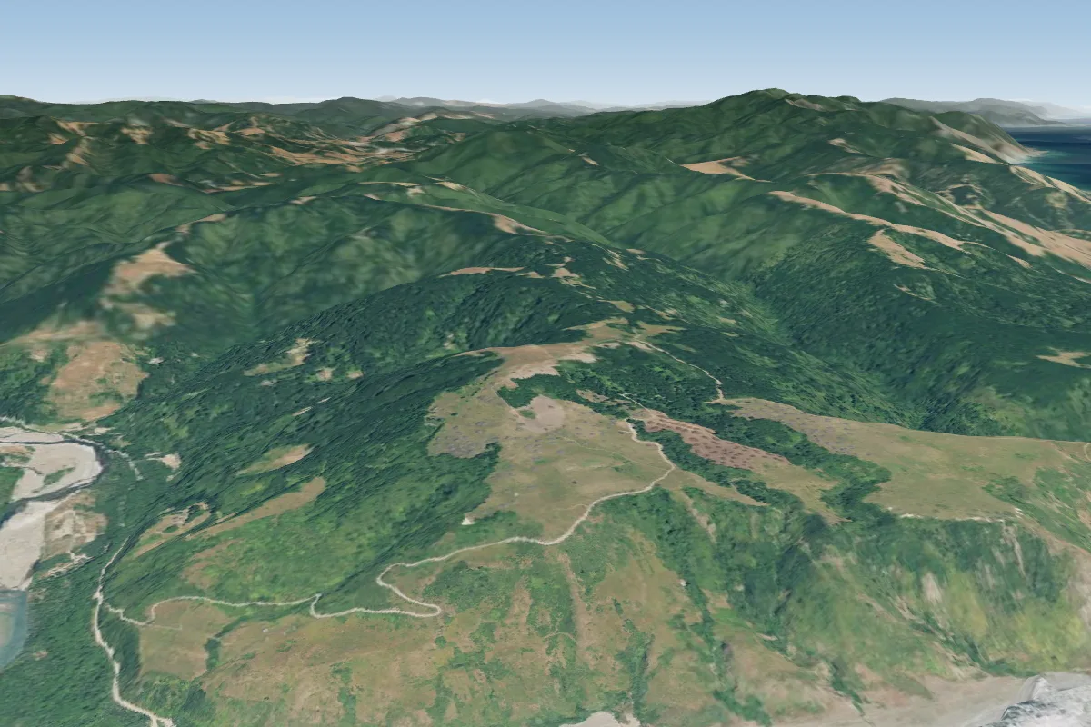
Usal Beach North H&F is a flying site in United States with a recorded launch elevation of 141 m. No launch directions are recorded yet.
When to go
Flyable days per month in a typical year.
Flyable days for Usal Beach North H&F are on the way. We are scoring ten years of weather for every site, month by month, against this site, its region and the sites around it.
Local weather notes
- Best is from the SW I imagine, though I've only ever flown it in light conditions and it wasn't great (didn't stay up). Source: ParaglidingEarth
Getting there
Nearest airports
- ACV California Redwood Coast-Humboldt County Airport129 km
- RDD Redding Municipal Airport152 km
- STS Charles M. Schulz Sonoma County Airport172 km
Where to stay
The nearest towns, for a bed, food and a lift to takeoff.
- Fort Bragg44 km awayBooking.comAirbnb
Flying nearby
See them on the map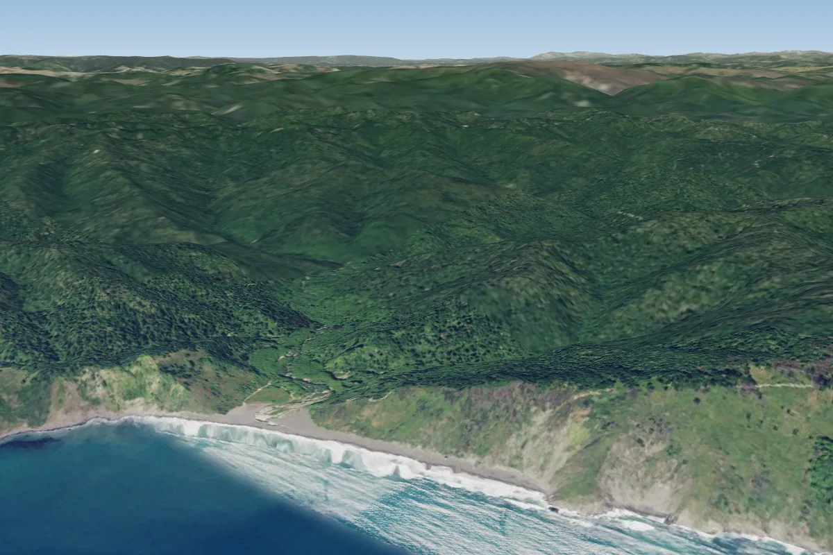
Pilot notes
No notes yet. Flown Usal Beach North H&F? Tell the next pilot what to expect.
Pilot notes on Usal Beach North H&F
Flying Usal Beach North H&F?
Takeoff, landing, rules, the hour by hour forecast and live wind are in the site details on the map.
Open site detailsSources
- ParaglidingEarth site record © ParaglidingEarth contributors (CC BY-SA)