Walt s Point - Horseshoe (Owens Valley- Lone Pine- Bishop)
East-facing thermal site · 2,771 m takeoff · 1,228 m height gain
Overview
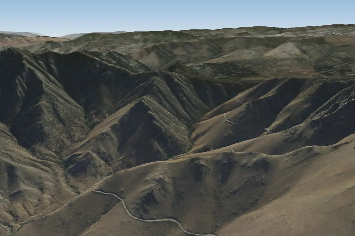
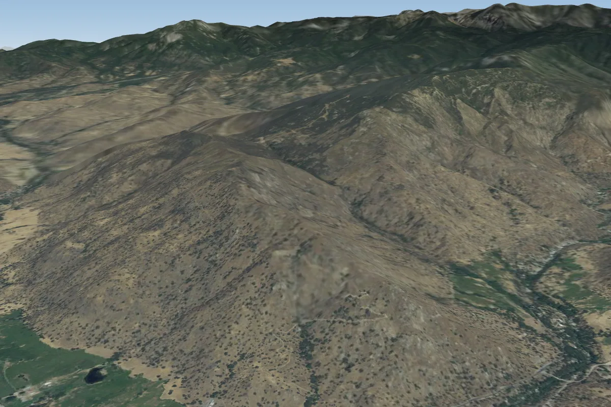
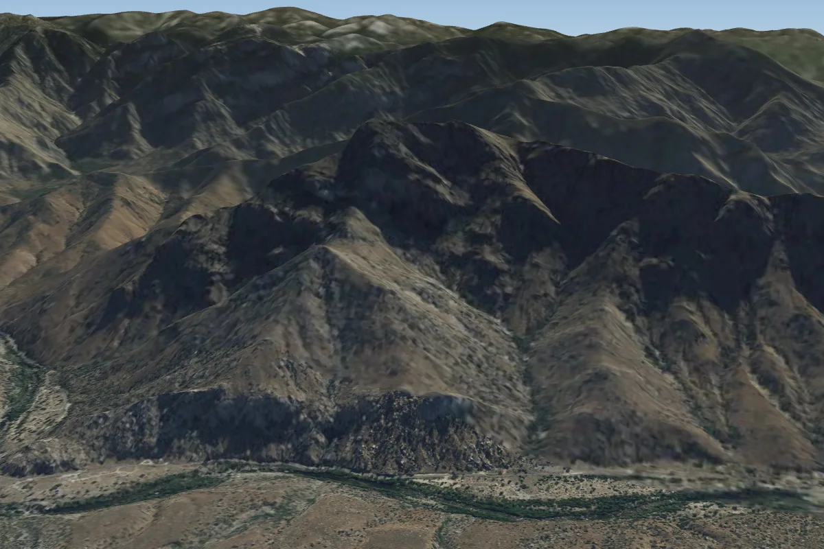
Walt s Point - Horseshoe (Owens Valley- Lone Pine- Bishop) is a mountain site in United States with a recorded launch elevation of 2,771 m. It works best in easterly winds, and can also work in north-easterly and southerly winds. Pilots fly it for thermal, using foot launch. It is recorded as suitable for cross-country flights.
- From http://www.karicastle.com/flyingsites.htm This is the famous launch point of many world records that were set years ago! It's a great morning site, and launch is directly off a pull-off on the paved road. Source: ParaglidingEarth
When to go
Flyable days per month in a typical year.
Flyable days for Walt s Point - Horseshoe (Owens Valley- Lone Pine- Bishop) are on the way. We are scoring ten years of weather for every site, month by month, against this site, its region and the sites around it.
Local weather notes
- Thermals can be VERY strong: PG's normally don't fly here June - early September; Many met links: http://karicastle.com/owens-valley-wx/ Source: ParaglidingEarth
Getting there
Nearest airports
- BIH Eastern Sierra Regional Airport103 km
- BFL Meadows Field143 km
- MMH Mammoth Yosemite Airport144 km
Flying nearby
See them on the map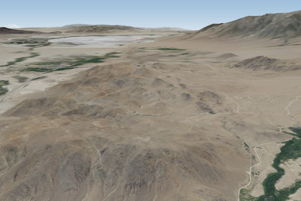
Pilot notes
No notes yet. Flown Walt s Point - Horseshoe (Owens Valley- Lone Pine- Bishop)? Tell the next pilot what to expect.
Pilot notes on Walt s Point - Horseshoe (Owens Valley- Lone Pine- Bishop)
Flying Walt s Point - Horseshoe (Owens Valley- Lone Pine- Bishop)?
Takeoff, landing, rules, the hour by hour forecast and live wind are in the site details on the map.
Open site detailsSources
- ParaglidingEarth site record © ParaglidingEarth contributors (CC BY-SA)