Escuela Cántabra de Parapente (EsCanPa)
School
Runs tandem flights and courses at Islares.
Phone: +34647224261
North-facing ridge site · 334 m takeoff · 323 m height gain
Islares - Castro Urdiales is a hill site in Spain with a recorded launch elevation of 334 m. It works best in northerly winds, and can also work in north-easterly winds. Pilots fly it for ridge soaring and thermal, using foot launch.
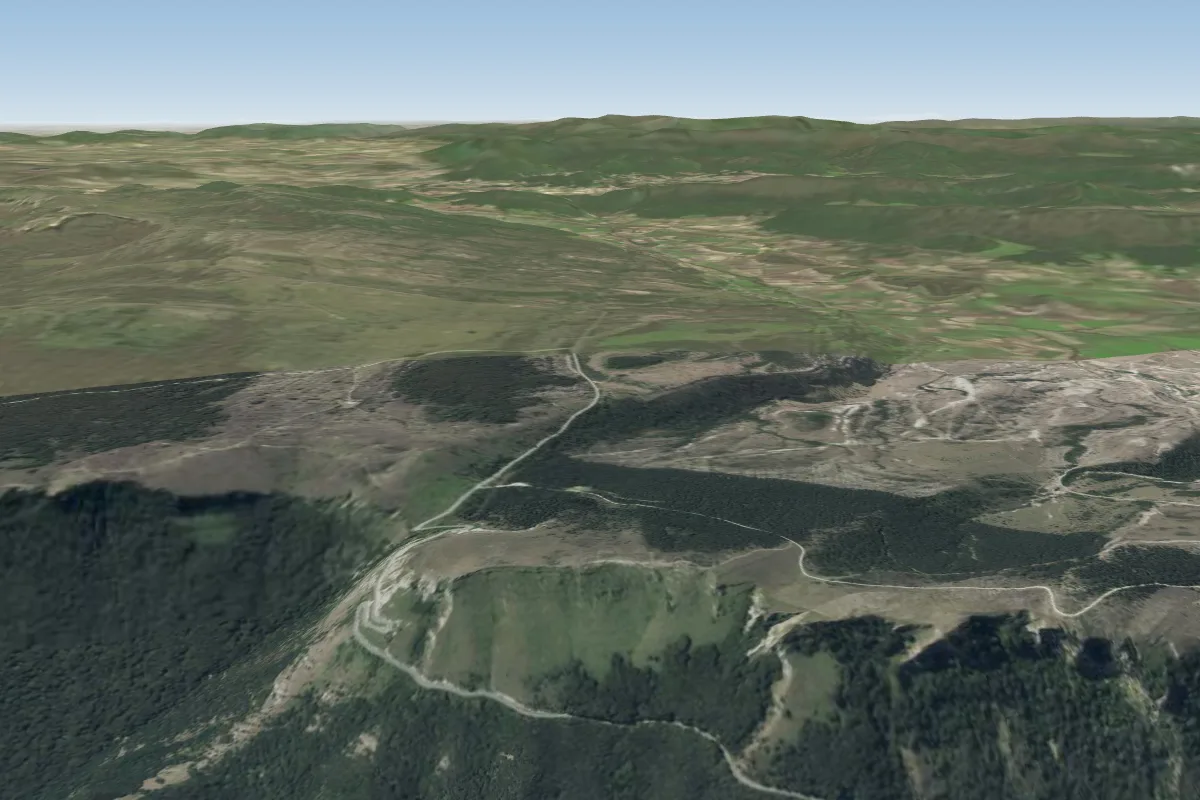
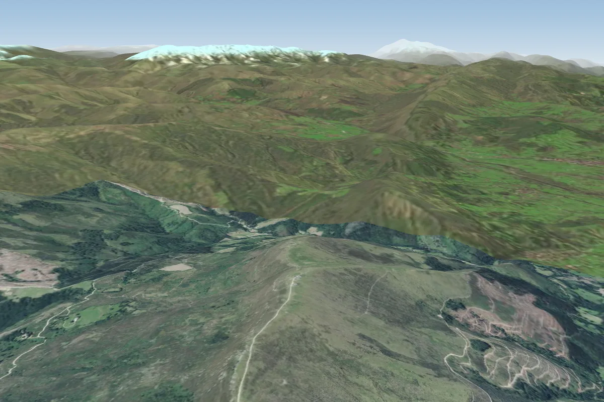
Coastal soaring site on the north face of Monte Cerredo above Islares (Castro Urdiales, Cantabria), about 350 m above the sea.
School
Runs tandem flights and courses at Islares.
Phone: +34647224261
Local club
Castro Urdiales club, founded around 1996, that flies Islares and runs the annual Concentración Ciudad de Castro Urdiales meeting there.
Flyable days per month in a typical year.
Flyable days for Islares - Castro Urdiales are on the way. We are scoring ten years of weather for every site, month by month, against this site, its region and the sites around it.
The nearest towns, for a bed, food and a lift to takeoff.
No notes yet. Flown Islares - Castro Urdiales? Tell the next pilot what to expect.
Takeoff, landing, rules, the hour by hour forecast and live wind are in the site details on the map.
Open site details