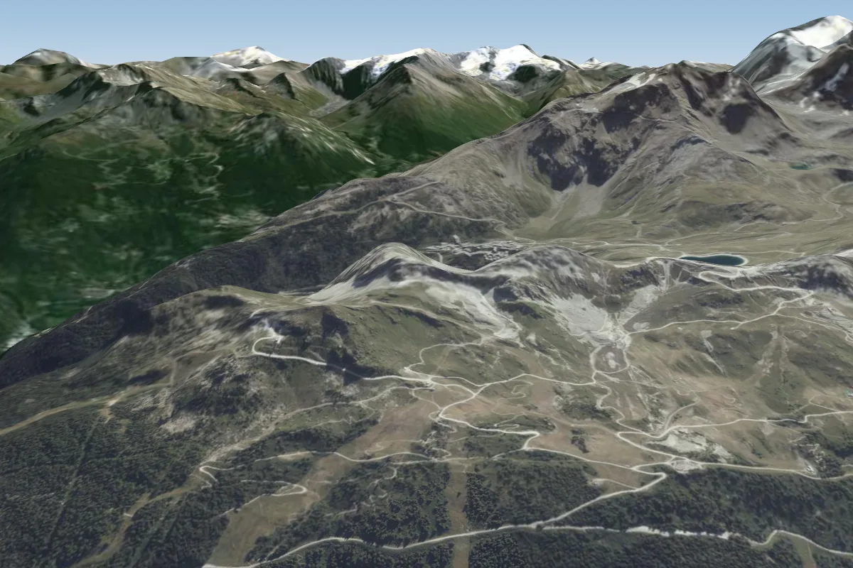
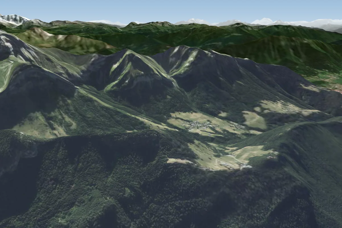
Aiguille du Midi -S / N is a mountain site in the French Alps with a recorded launch elevation of 3,593 m. It works best in northerly and southerly winds, and can also work in north-easterly, south-easterly, south-westerly and north-westerly winds. Pilots fly it for ridge soaring and thermal, using foot launch. It is recorded as suitable for cross-country flights.
High-mountain launch at about 3,700 m below the Aiguille du Midi cable-car top station, reached by a roped, cramponed descent of the glacier ridge. There are two launches: north towards Chamonix and south towards the Vallée Blanche.
Local clubs
Chamonix Parapente
School
Runs guided tandem flights from the Aiguille du Midi (north or south launch, depending on conditions) from 20 December to the end of June and from 1 September to mid-October. A mountain specialist leads the roughly 30-minute walk to launch.
The Chamonix FFVL club, founded in 1987. It has a club hut and notice boards at the Bois du Bouchet landing. The contact details in the 2008 brochure look out of date (lesgratteciel.org no longer resolves).
Flyable days for Aiguille du Midi -S / N are on the way. We are scoring ten years of weather for every site, month by month, against this site, its region and the sites around it.
Local weather notes
Flyable all day. Best in anticyclonic spells or with light north to north-west or southerly flow. The south launch needs calm or light southerly wind; stronger northerly flow is common at altitude (forum). Flights descend about 2,700 m. Source: Décollage de l'Aiguille du Midi Massif du Mont Blanc
Short extracts from Les clubs du Pays du Mont-Blanc (six FFVL clubs), Les Gratte-Ciel (hosted by La Chamoniarde), Terrain d'atterrissage du Bois du Bouchet, ParaglidingEarth, Aiguille du midi Chamonix (forum thread), Décollage de l'Aiguille du Midi Massif du Mont Blanc and Vol en parapente biplace à l'Aiguille du Midi. Read the full guide before you fly.