Les Chamois Volants
Local club
FFVL club based at ZI Perroix, Talloires; manages the Montmin launch weather station (balise ffvl-75) and publishes the site regulation.
Email: contact@chamoisvolants.fr
NW to N facing thermal site · 1,265 m takeoff · 798 m height gain
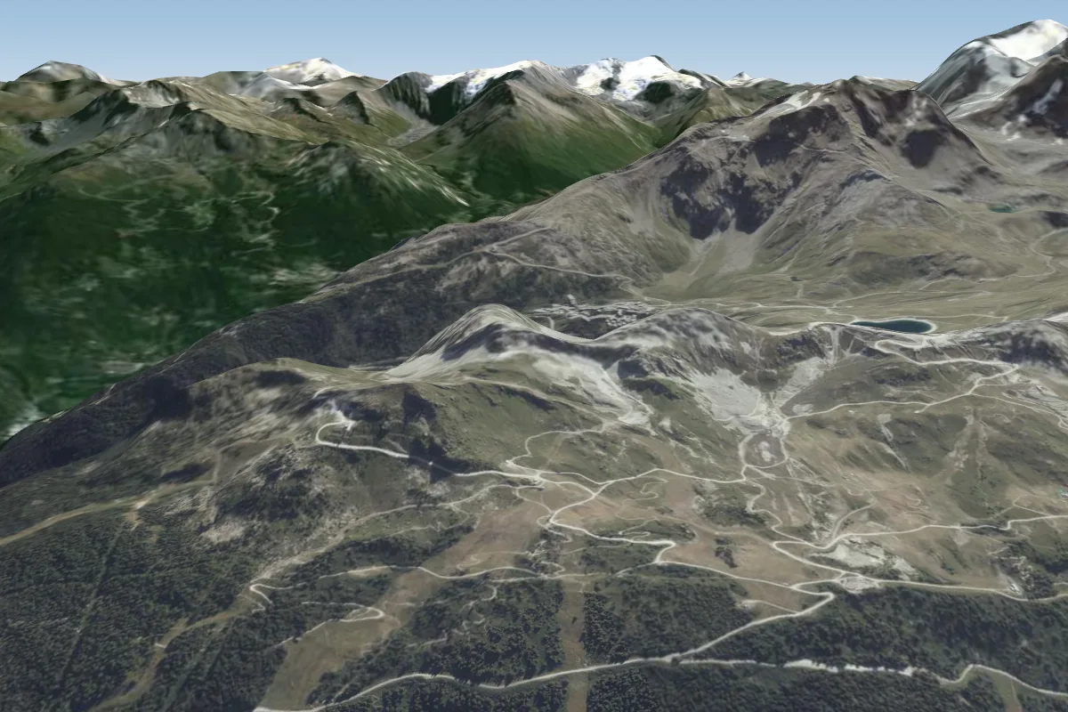
Montmin (Col de la Forclaz) is a mountain site in the French Alps with a recorded launch elevation of 1,265 m. It works best in northerly and north-westerly winds, and can also work in westerly winds. Pilots fly it for thermal, using foot launch. It is recorded as suitable for cross-country flights.
One of the busiest free-flight sites in France: a west/north-west facing carpet launch at about 1,240-1,280 m above the Col de la Forclaz, looking straight down Lac d'Annecy, with the official landing at the Doussard salle polyvalente…
Flyable days per month in a typical year.
Flyable days for Montmin (Col de la Forclaz) are on the way. We are scoring ten years of weather for every site, month by month, against this site, its region and the sites around it.
The nearest towns, for a bed, food and a lift to takeoff.
For the days the wind is wrong: places worth a visit within 10 km of Montmin (Col de la Forclaz).
 La TournetteOutdoors · 3.4 km awayMountain in France
 Roc de Chère National Nature ReserveOutdoors · 4.7 km awayProtected area in France
 Dents de LanfonOutdoors · 5.2 km awayMountain in Haute-Savoie, France
 Lake AnnecyOutdoors · 7.4 km awayAlpine lake in Haute-Savoie, France
 Fonderie PaccardCulture · 8.1 km awayFrench foundry
 Col de l'Épine (Haute-Savoie)Outdoors · 8.8 km awayMountain pass in the French Alps
No notes yet. Flown Montmin (Col de la Forclaz)? Tell the next pilot what to expect.
Takeoff, landing, rules, the hour by hour forecast and live wind are in the site details on the map.
Open site details