Cumbria Soaring Club
Manages the site
North-west-facing ridge site · 567 m takeoff
Barton Fell is a hill site in Lake District — North East Lakes - Ullswater with a recorded launch elevation of 567 m. It works best in north-westerly winds. Pilots fly it for ridge soaring and thermal, using foot launch. It is recorded as suitable for cross-country flights.
Manages the site
Flyable days per month in a typical year.
Flyable days for Barton Fell are on the way. We are scoring ten years of weather for every site, month by month, against this site, its region and the sites around it.
The nearest towns, for a bed, food and a lift to takeoff.
For the days the wind is wrong: places worth a visit within 10 km of Barton Fell.
 UllswaterOutdoors · 2.8 km awayLake in Cumbria, England
 Hallin FellOutdoors · 3.2 km awayMountain in Cumbria, England
 Pooley Bridge (structure)Culture · 3.3 km awayBridge in Cumbria, England
 St Peter's Church, MartindaleCulture · 3.4 km awayChurch in Martindale, Cumbria, England
 DunmalletOutdoors · 3.5 km awayHill in Dacre, Cumbria, England
 All Saints Church, WatermillockCulture · 3.6 km awayChurch in Cumbria, England
 Steel KnottsOutdoors · 3.9 km awayMountain in Cumbria, England
 St Martin's Church, MartindaleCulture · 4 km awayChurch in Cumbria, England
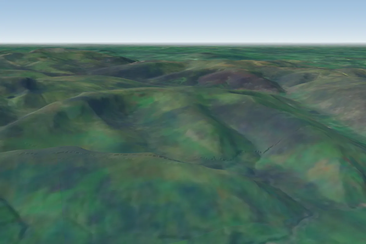 Souther Fell13 km NW · Faces E–SEWorks in other winds
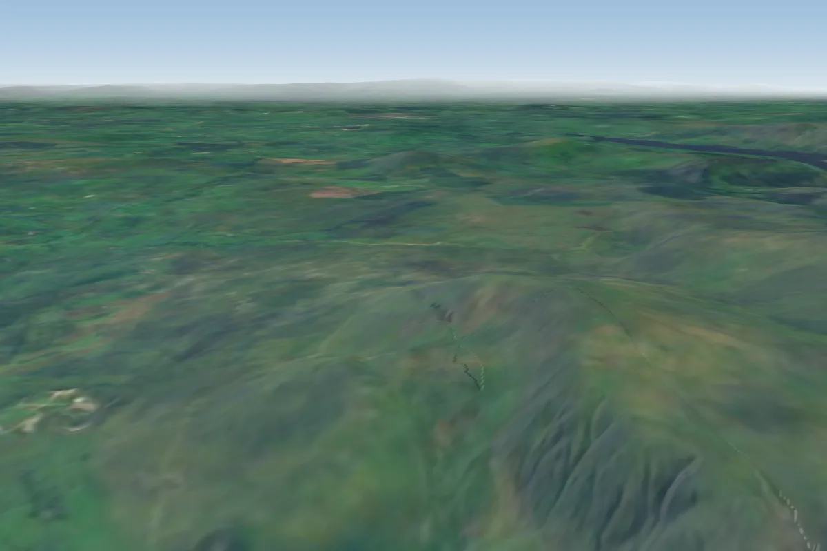 Clough Head14 km W
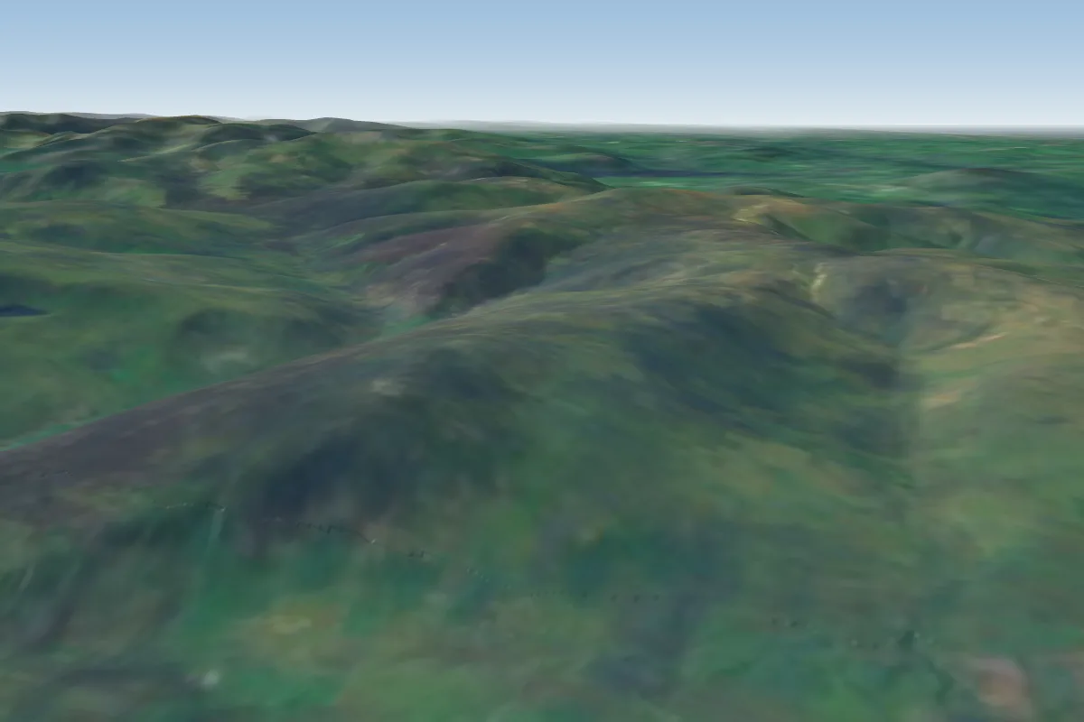 Carrock Fell17 km NW · Faces EWorks in other winds
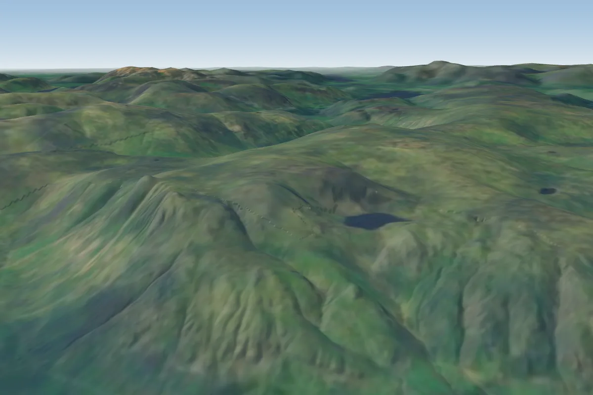 Great Langdale23 km SW · Faces S–SWWorks in other winds
 Cross Fell24 km NE · Faces SWWorks in other winds
 Ullock Pike24 km W
 Wrynose Pass26 km SW · Faces EWorks in other winds
 Murton Pike27 km E
No notes yet. Flown Barton Fell? Tell the next pilot what to expect.
Takeoff, landing, rules, the hour by hour forecast and live wind are in the site details on the map.
Open site details