Cumbria Soaring Club
Manages the site
E to SE facing site · 472 m takeoff
Souther Fell is a flying site in Lake District — North Lakes - SE of Blencathra with a recorded launch elevation of 472 m. It works best in easterly and south-easterly winds.
Manages the site
Flyable days per month in a typical year.
Flyable days for Souther Fell are on the way. We are scoring ten years of weather for every site, month by month, against this site, its region and the sites around it.
The nearest towns, for a bed, food and a lift to takeoff.
For the days the wind is wrong: places worth a visit within 10 km of Souther Fell.
 Mosedale ViaductCulture · 3.7 km awayRailway bridge in Cumbria, England
 High PikeOutdoors · 6.8 km awayMountain in England
 Skiddaw Group SSSIOutdoors · 6.9 km awayProtected area in Cumbria, England
 Greystoke CastleCulture · 7.8 km awayCastle in Cumbria, England
 St John's in the ValeOutdoors · 8.1 km awayValley in Cumbria, England
 Little Mell FellOutdoors · 8.5 km awayMountain in Cumbria, England
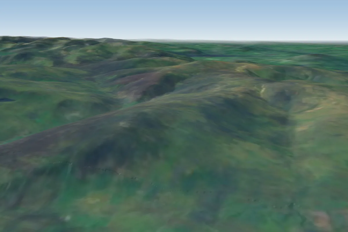 Carrock Fell5 km N · Faces E
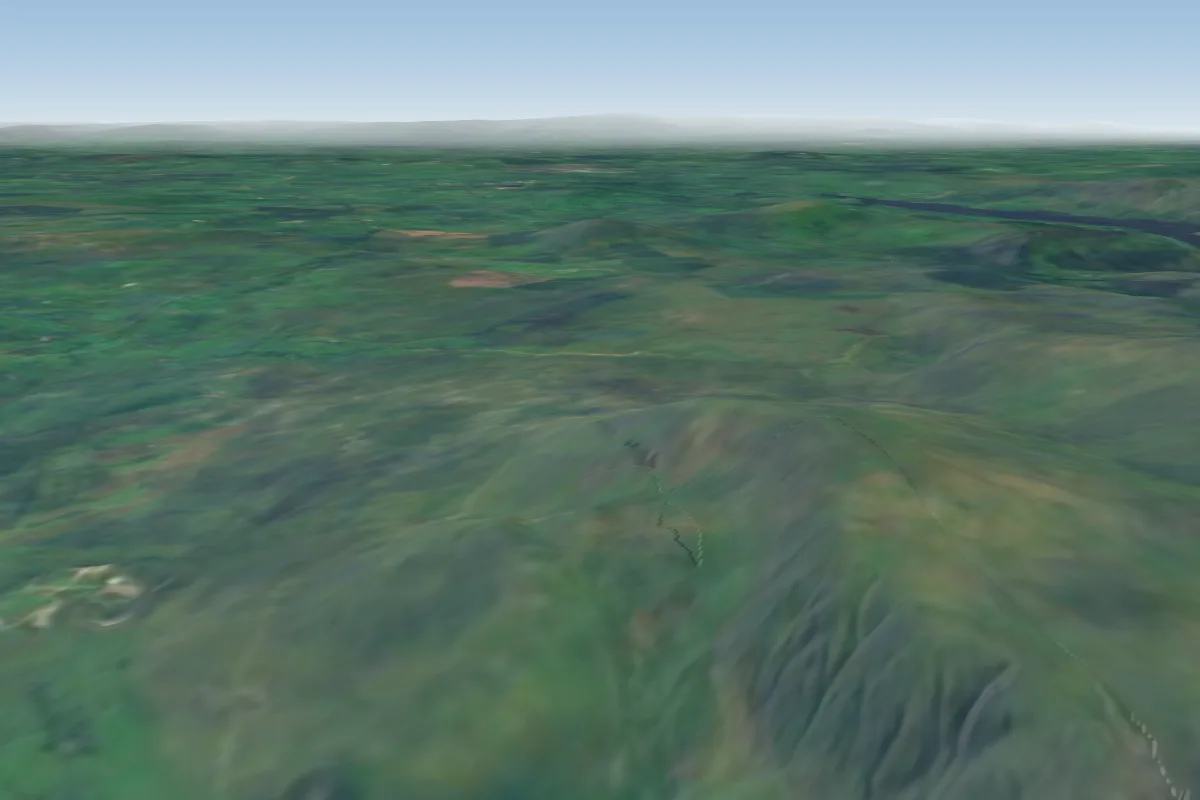 Clough Head7 km SW
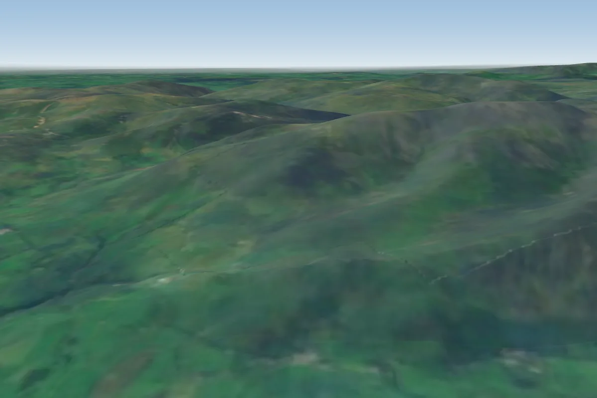 Ullock Pike12 km W
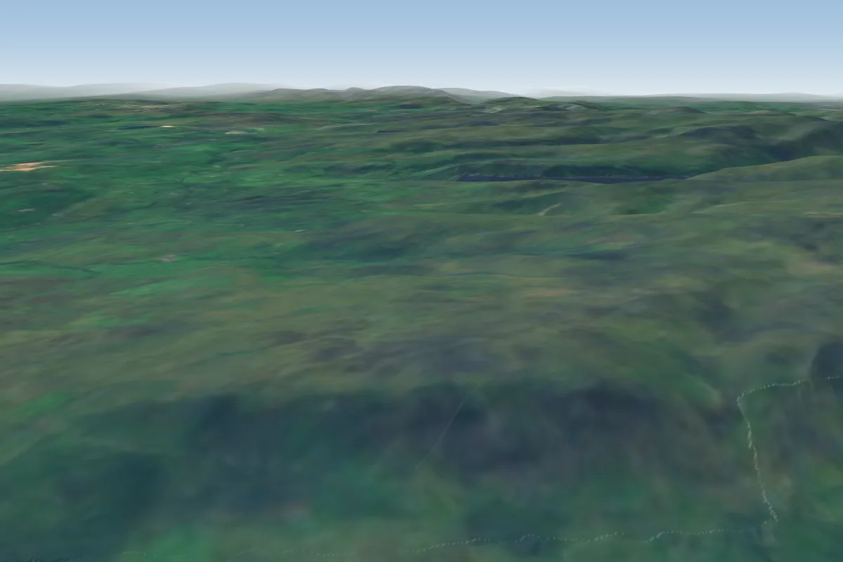 Barton Fell13 km SE · Faces NWWorks in other winds
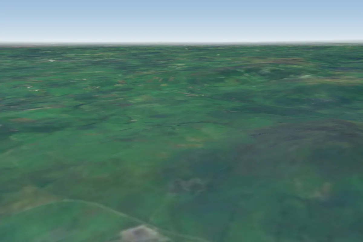 Bewaldeth16 km NW · Faces SWPossible XC from here on a SE day, 16 km downwindWorks in other winds
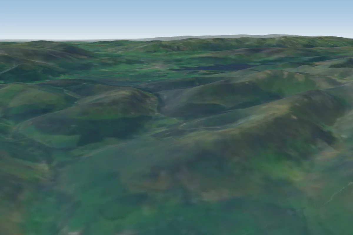 Swinside19 km WPossible XC from here on a E day, 19 km downwind
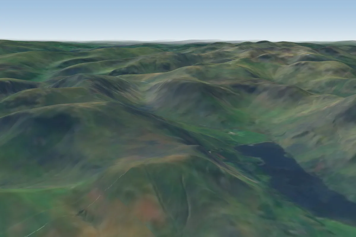 Buttermere Moss21 km SW
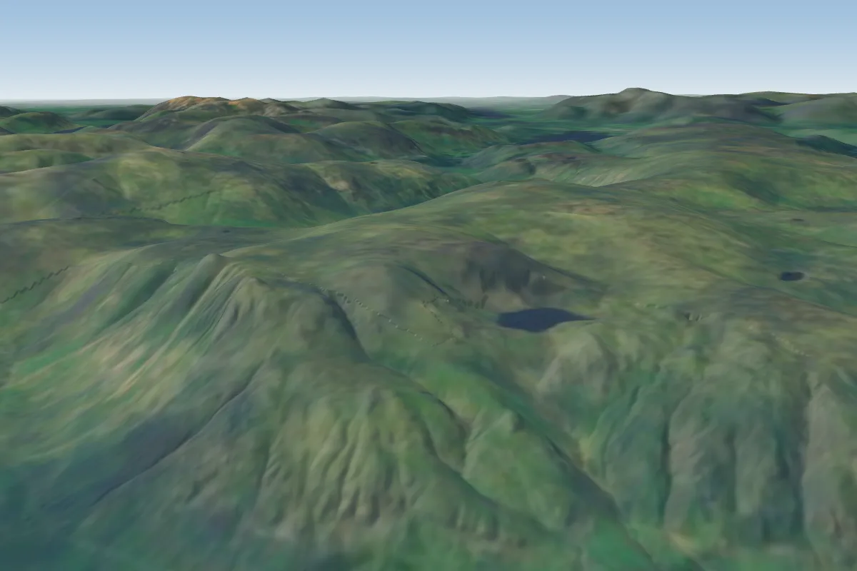 Great Langdale24 km S · Faces S–SWWorks in other winds
No notes yet. Flown Souther Fell? Tell the next pilot what to expect.
Takeoff, landing, rules, the hour by hour forecast and live wind are in the site details on the map.
Open site details