Wingbeat Paragliding Club
Manages the site
Site · 470 m takeoff
Bridgend is a flying site in Scottish Borders with a recorded launch elevation of 470 m. No launch directions are recorded yet.
Manages the site
Flyable days per month in a typical year.
Flyable days for Bridgend are on the way. We are scoring ten years of weather for every site, month by month, against this site, its region and the sites around it.
The nearest towns, for a bed, food and a lift to takeoff.
For the days the wind is wrong: places worth a visit within 10 km of Bridgend.
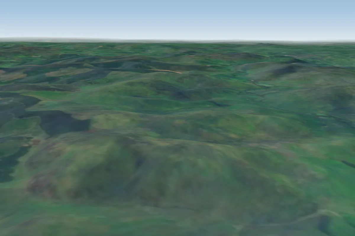 Mount Benger6 km E · Faces SW–WWorks in other winds
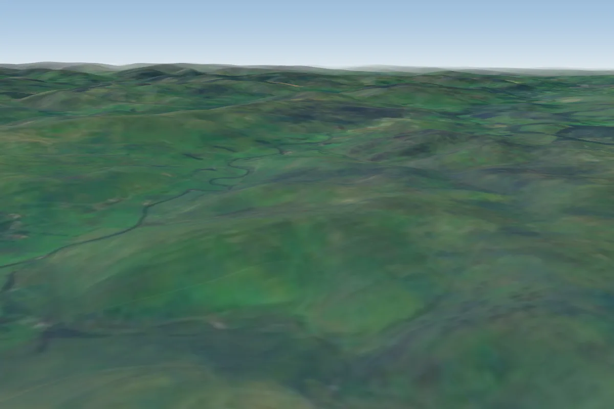 Cacra10 km SE · Faces SWorks in other winds
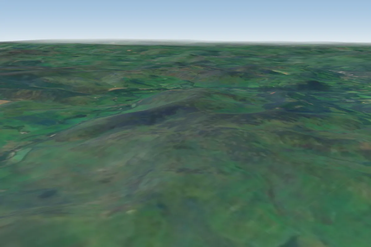 WitchieKnowe13 km E
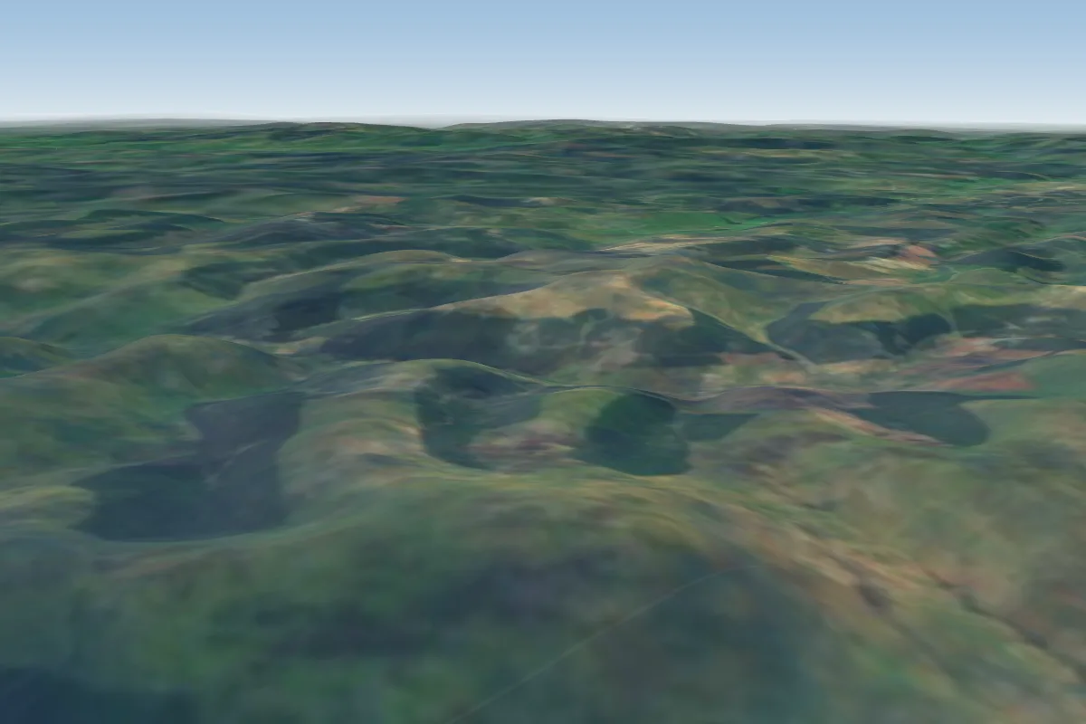 Bodesbeck Law16 km SW · Faces NWWorks in other winds
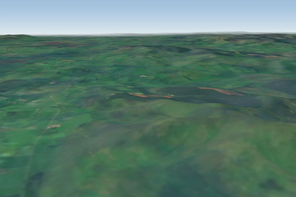 Broughton Heights22 km NW · Faces SW–NWWorks in other winds
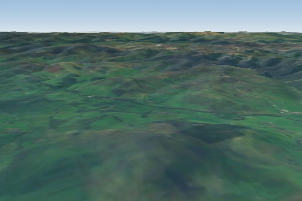 Dungavel31 km W · Faces WWorks in other winds
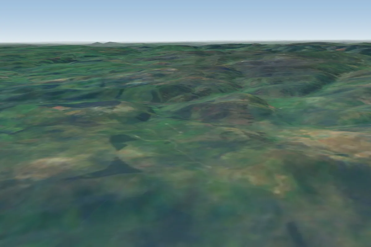 Moorfoots31 km N · Faces NWWorks in other winds
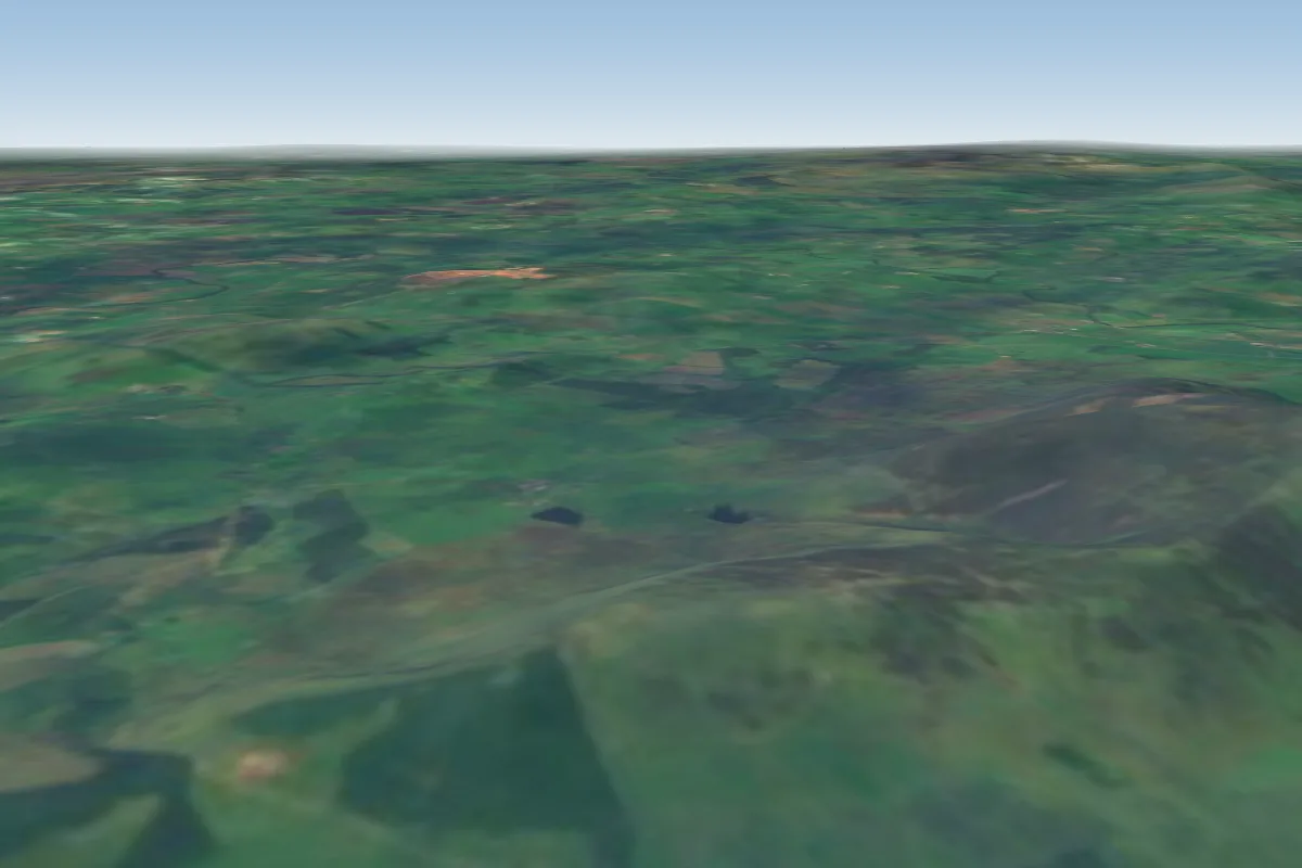 Tinto (South)33 km W · Faces SWorks in other winds
No notes yet. Flown Bridgend? Tell the next pilot what to expect.
Takeoff, landing, rules, the hour by hour forecast and live wind are in the site details on the map.
Open site details


