Lanarkshire and Lothian Soaring Club
Manages the site
West-facing ridge site · 501 m takeoff · 185 m height gain
Dungavel is a flatland site in Southern Scotland with a recorded launch elevation of 501 m. It works best in westerly winds, and can also work in south-westerly and north-westerly winds. Pilots fly it for ridge soaring and thermal, using foot launch.
Manages the site
Flyable days per month in a typical year.
Flyable days for Dungavel are on the way. We are scoring ten years of weather for every site, month by month, against this site, its region and the sites around it.
The nearest towns, for a bed, food and a lift to takeoff.
For the days the wind is wrong: places worth a visit within 10 km of Dungavel.
 Clyde's BridgeCulture · 3.9 km awayBridge in the South Lanarkshire, Scotland
 TintoOutdoors · 4 km awayHill in South Lanarkshire, Scotland
 Lamington TowerCulture · 4.1 km awayCastle in South Lanarkshire, Scotland
 Crawford CastleCulture · 9.3 km awayCastle in South Lanarkshire, Scotland
 Boghouse CastleCulture · 9.5 km awayCastle in South Lanarkshire, Scotland
 Douglas CastleCulture · 10 km awayHistoric site
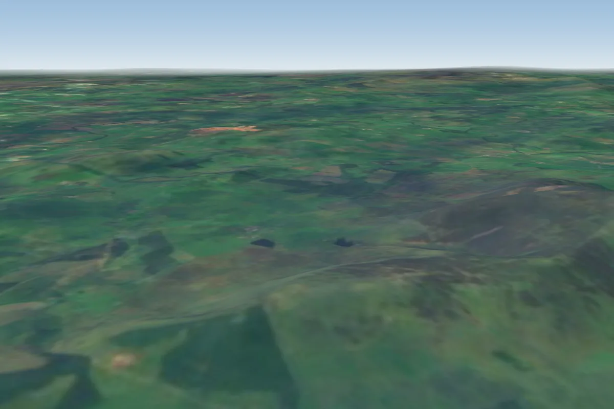 Tinto (South)4 km N · Faces SWorks in other winds
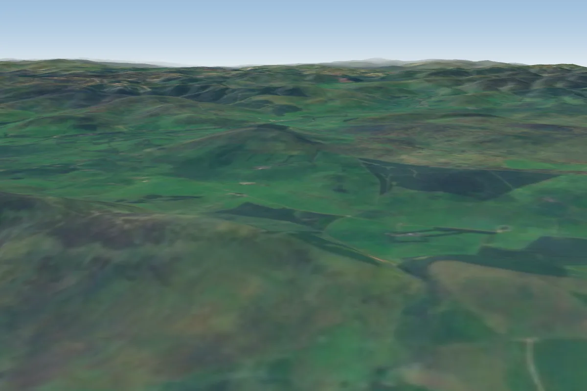 Tinto (North)4 km NW · Faces NWorks in other winds
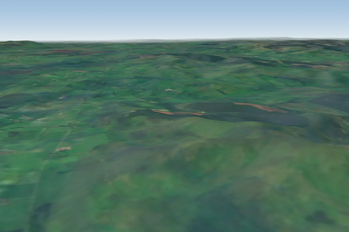 Broughton Heights21 km NE · Faces SW–NW
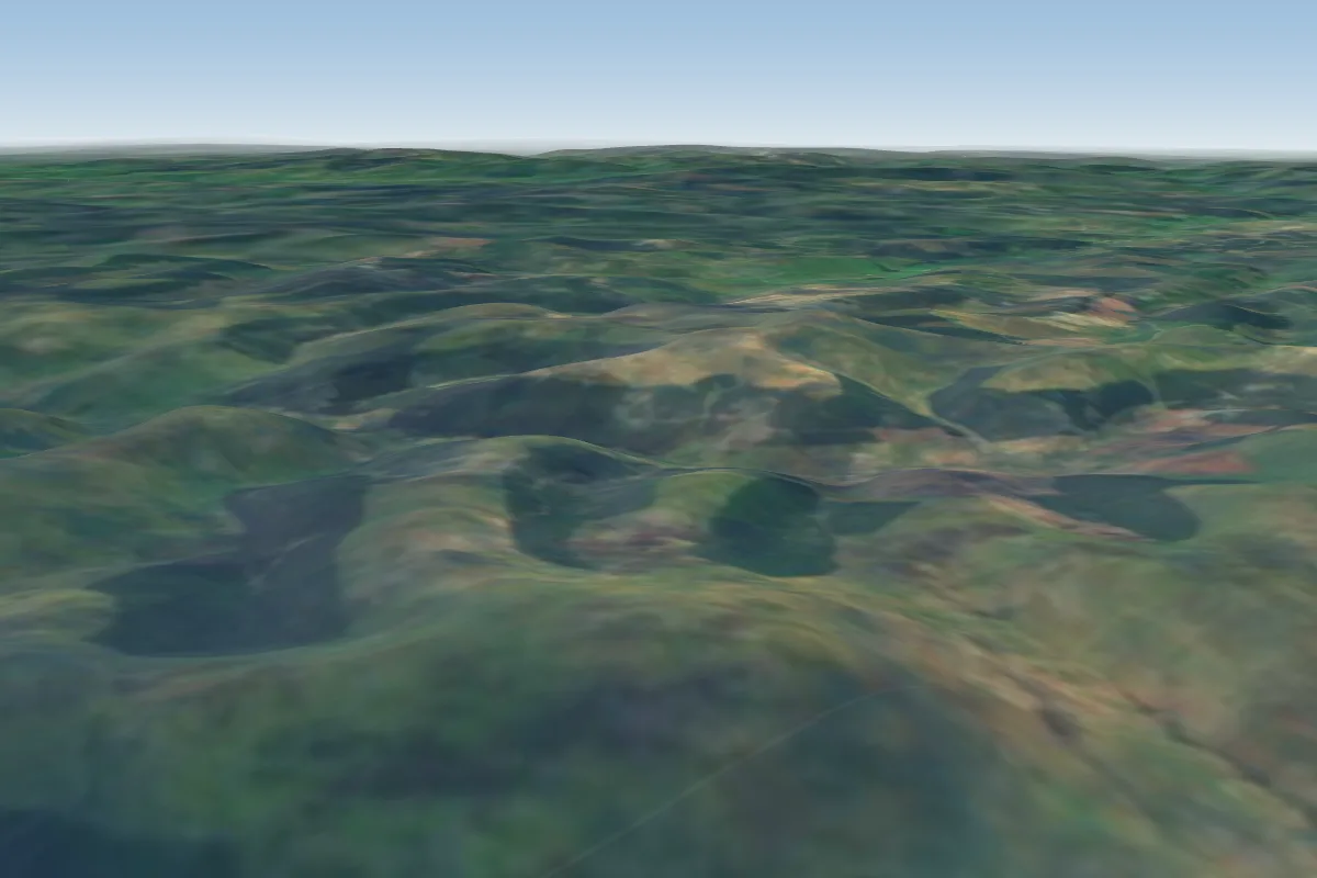 Bodesbeck Law30 km SE · Faces NW
 Bridgend31 km E
 Auchinleck Hill - Thornhill32 km S · Faces SW
 Mount Benger37 km E · Faces SW–W
 Cacra40 km E · Faces SWorks in other winds
No notes yet. Flown Dungavel? Tell the next pilot what to expect.
Takeoff, landing, rules, the hour by hour forecast and live wind are in the site details on the map.
Open site details