Devon and Somerset Condors HGPG
Manages the site
NW to N facing ridge site · 294 m takeoff
Countisbury is a hill site in East Devon / Exmoor / West Dorset with a recorded launch elevation of 294 m. It is recorded as workable in northerly and north-westerly winds. Pilots fly it for ridge soaring and thermal, using foot launch.
Flyable days per month in a typical year.
Flyable days for Countisbury are on the way. We are scoring ten years of weather for every site, month by month, against this site, its region and the sites around it.
The nearest towns, for a bed, food and a lift to takeoff.
For the days the wind is wrong: places worth a visit within 10 km of Countisbury.
 Wind HillOutdoors · 1.2 km awayHill in Devon, England
 Lynmouth Foreland LighthouseCulture · 1.2 km awayLighthouse in Devon, England
 Lyn and Exmoor MuseumCulture · 2.6 km awayMuseum in north Devon, England
 Rhenish Tower, LynmouthCulture · 2.6 km awayTower in Lynmouth, Devon, England
 Valley of RocksOutdoors · 4.1 km awayValley in Devon, England
 Roborough CastleCulture · 4.5 km awayIron Age hill fort in Devon, England
 Wringcliff BayOutdoors · 4.7 km awayBay in Devon, England
 Malmsmead BridgeCulture · 4.9 km awayBridge in Devon and Somerset, England
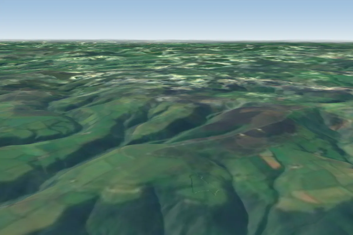 Porlock Hill12 km E · Faces NEWorks in other winds
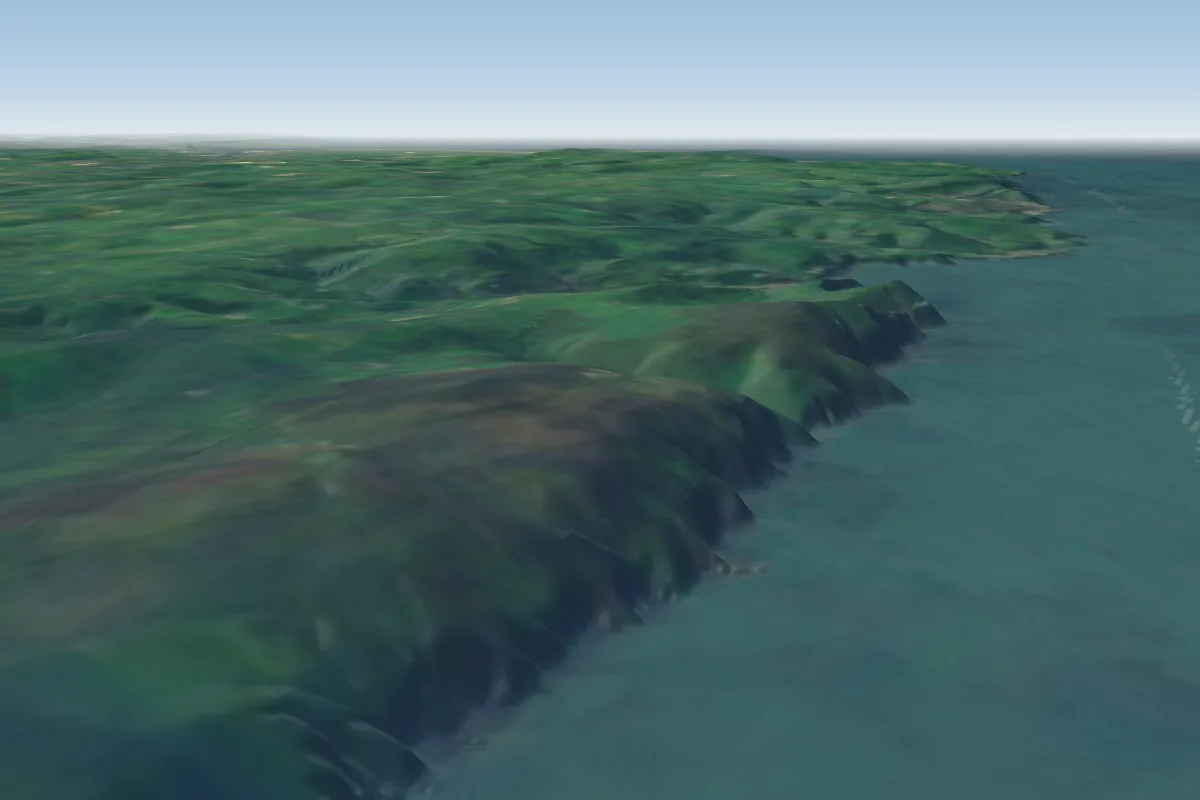 Trentishoe Cliffs12 km W
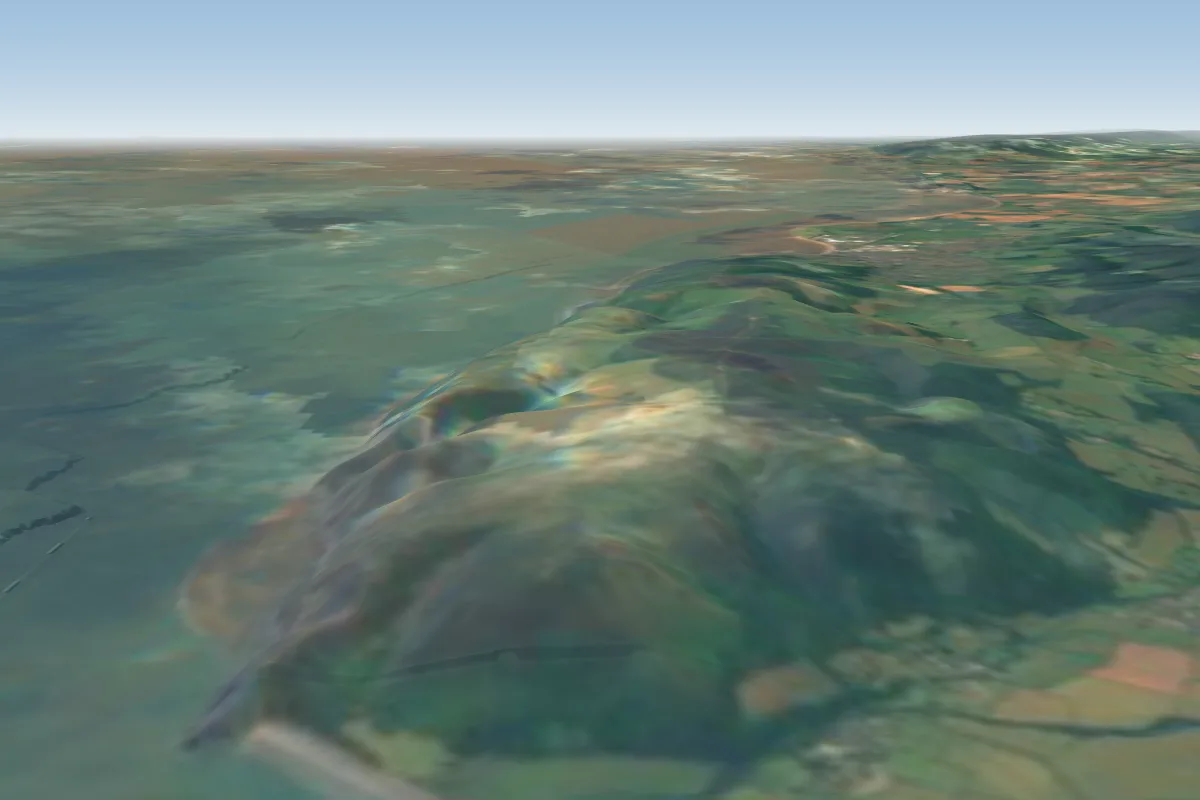 Bossington Hill15 km E · Faces WWorks in other winds
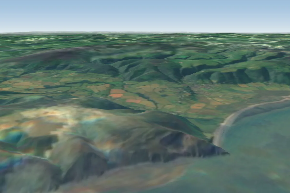 Selworthy Sands16 km E · Faces N
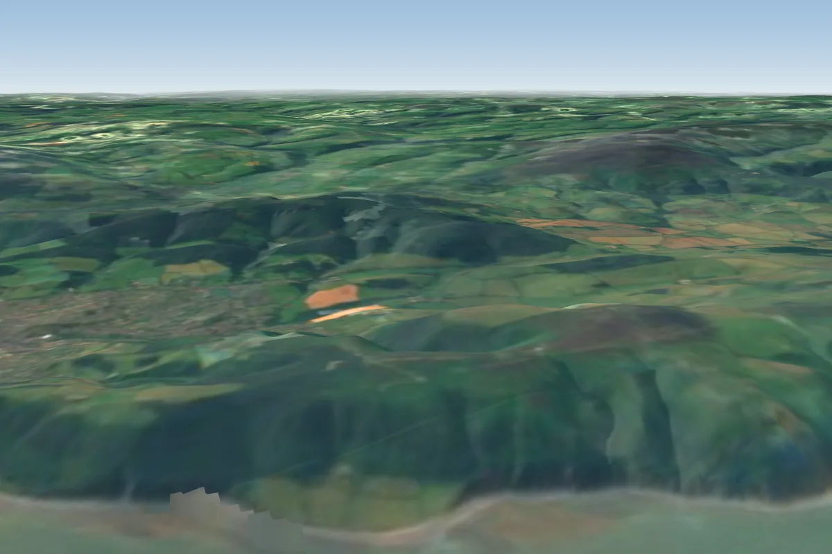 North Hill21 km E · Faces N
 Codden Hill26 km SW · Faces NEWorks in other winds
 Woolacombe30 km W · Faces WWorks in other winds
 Westward Ho! Lower Cliff39 km SW
No notes yet. Flown Countisbury? Tell the next pilot what to expect.
Takeoff, landing, rules, the hour by hour forecast and live wind are in the site details on the map.
Open site details