Bossington Hill
West-facing site · 234 m takeoff
Overview
Bossington Hill is a flying site in UK with a recorded launch elevation of 234 m. It works best in westerly winds.
When to go
Flyable days per month in a typical year.
Flyable days for Bossington Hill are on the way. We are scoring ten years of weather for every site, month by month, against this site, its region and the sites around it.
Getting there
Nearest airports
- CWL Cardiff International Airport25 km
- EXT Exeter International Airport56 km
- BRS Bristol Airport62 km
Where to stay
The nearest towns, for a bed, food and a lift to takeoff.
- Minehead7 km awayBooking.comAirbnb
- Watchet18 km awayBooking.comAirbnb
- Lynton18 km awayBooking.comAirbnb
Things to do
For the days the wind is wrong: places worth a visit within 10 km of Bossington Hill.
 Lynch Chapel of EaseCulture · 0.8 km awayChurch in Somerset, England
 West Somerset Rural Life Museum and Victorian SchoolCulture · 1.5 km awaySmall museum in England
 Selworthy BeaconOutdoors · 1.6 km awayHill in Somerset, England
 Dovery Manor MuseumCulture · 2.2 km awayMuseum in Porlock, Somerset, England
 Porlock BayOutdoors · 2.3 km awayBay in Somerset, England
 Hawkcombe WoodsOutdoors · 2.9 km awayNature reserve in Somerset, England
 Chapel of St Leonard, TivingtonCulture · 4.6 km awayChurch in Somerset, England
 Stoke Pero ChurchCulture · 5.5 km awayChurch in Somerset, England
Flying nearby
See them on the map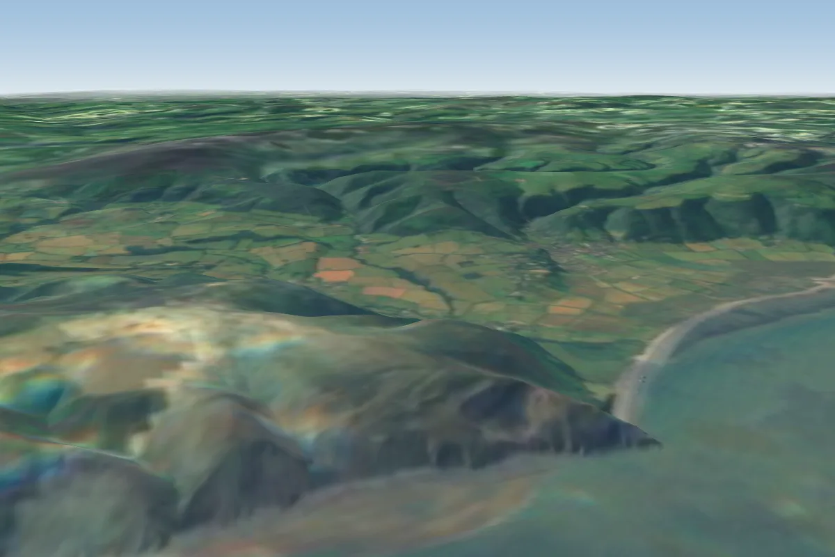 Selworthy Sands1 km NE · Faces NWorks in other winds
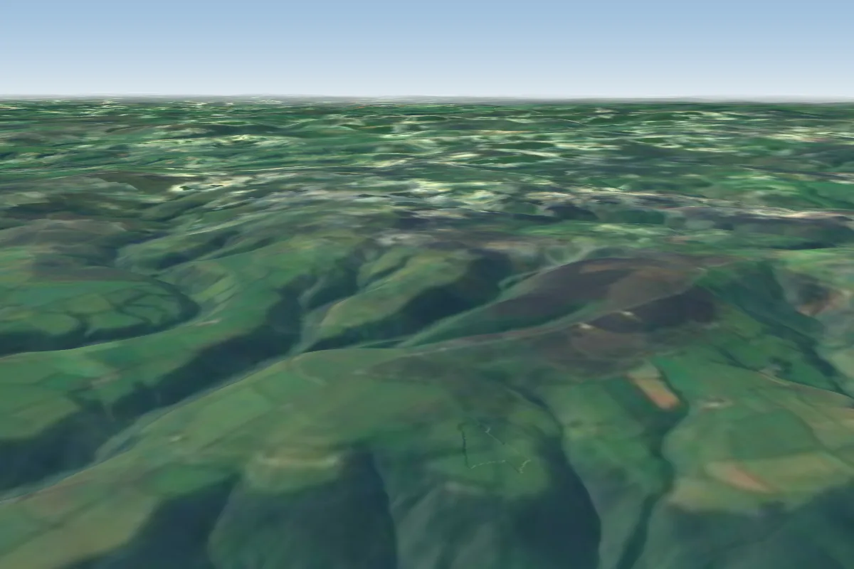 Porlock Hill4 km SW · Faces NEWorks in other winds
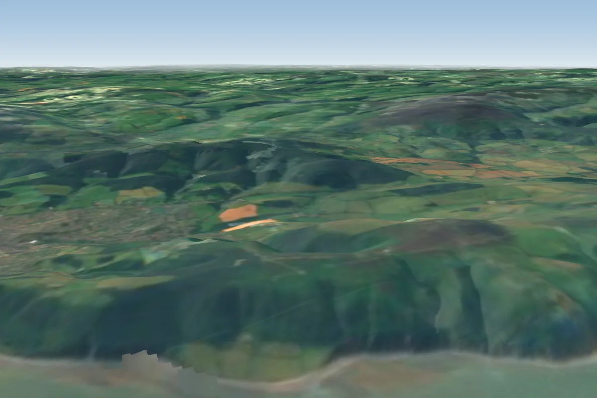 North Hill5 km E · Faces NWorks in other winds
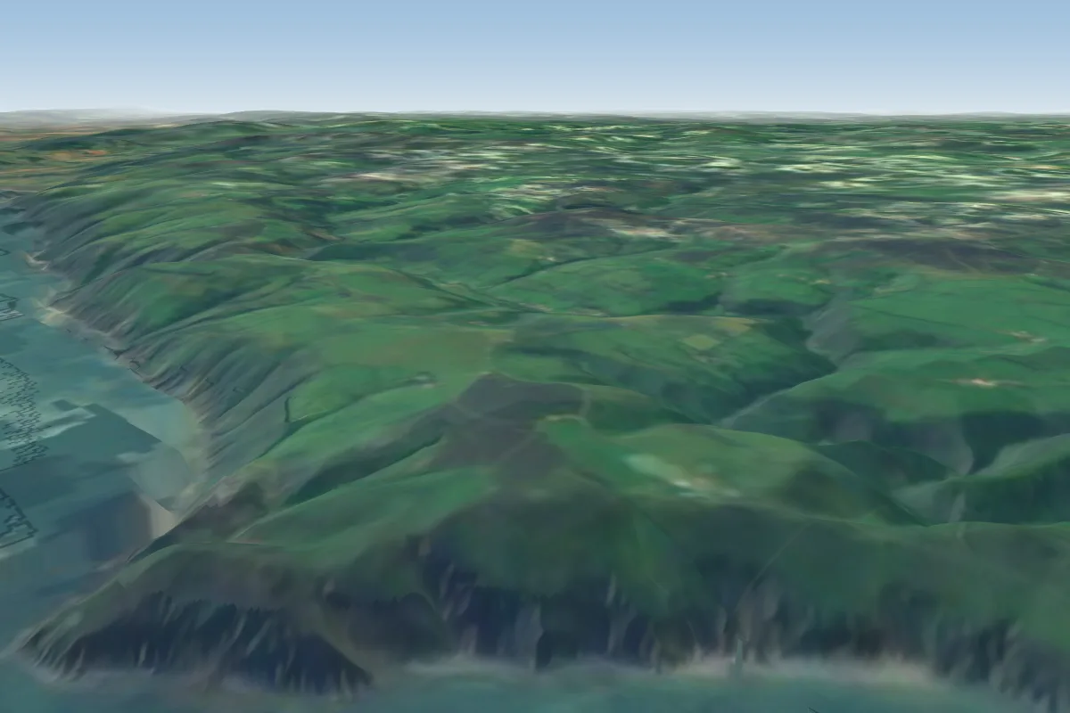 Countisbury15 km W
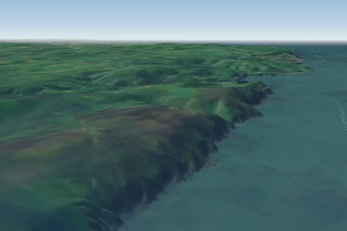 Trentishoe Cliffs28 km W
 Codden Hill37 km SW · Faces NEWorks in other winds
 Garth Hill41 km NE · Faces EWorks in other winds
 Woolacombe45 km W · Faces W
Pilot notes
No notes yet. Flown Bossington Hill? Tell the next pilot what to expect.
Pilot notes on Bossington Hill
Flying Bossington Hill?
Takeoff, landing, rules, the hour by hour forecast and live wind are in the site details on the map.
Open site detailsSources
- ParaglidingEarth site record © ParaglidingEarth contributors (CC BY-SA)