Cow Close
North-east-facing site · 527 m takeoff
Overview
Cow Close is a flying site in UK with a recorded launch elevation of 527 m. It works best in north-easterly winds.
- initialy imported from International Leonardo Source: ParaglidingEarth
When to go
Flyable days per month in a typical year.
Flyable days for Cow Close are on the way. We are scoring ten years of weather for every site, month by month, against this site, its region and the sites around it.
Getting there
Nearest airports
- LBA Leeds Bradford Airport46 km
- MME Teesside International Airport62 km
- MAN Manchester Airport90 km
Where to stay
The nearest towns, for a bed, food and a lift to takeoff.
- Settle12 km awayBooking.comAirbnb
- Grassington15 km awayBooking.comAirbnb
- Hawes17 km awayBooking.comAirbnb
Things to do
For the days the wind is wrong: places worth a visit within 10 km of Cow Close.
 Scoska WoodOutdoors · 2.3 km awayNational Nature Reserve in North Yorkshire, England
 Fountains Fell TarnOutdoors · 2.8 km awayUpland lake in the Yorkshire Dales, England
 Fountains FellOutdoors · 3 km awayMountain in North Yorkshire, England
 St John the Baptist's Church, Halton GillCulture · 3.4 km awayFormer church in Yorkshire, England
 CowsideOutdoors · 3.7 km awayValley in North Yorkshire, England
 Birks FellOutdoors · 4.3 km awayMountain in North Yorkshire, England
 Plover HillOutdoors · 4.4 km awayMountain in England
 St Oswald's Church, ArncliffeCulture · 4.6 km awayChurch in Arncliffe, North Yorkshire, England
Flying nearby
See them on the map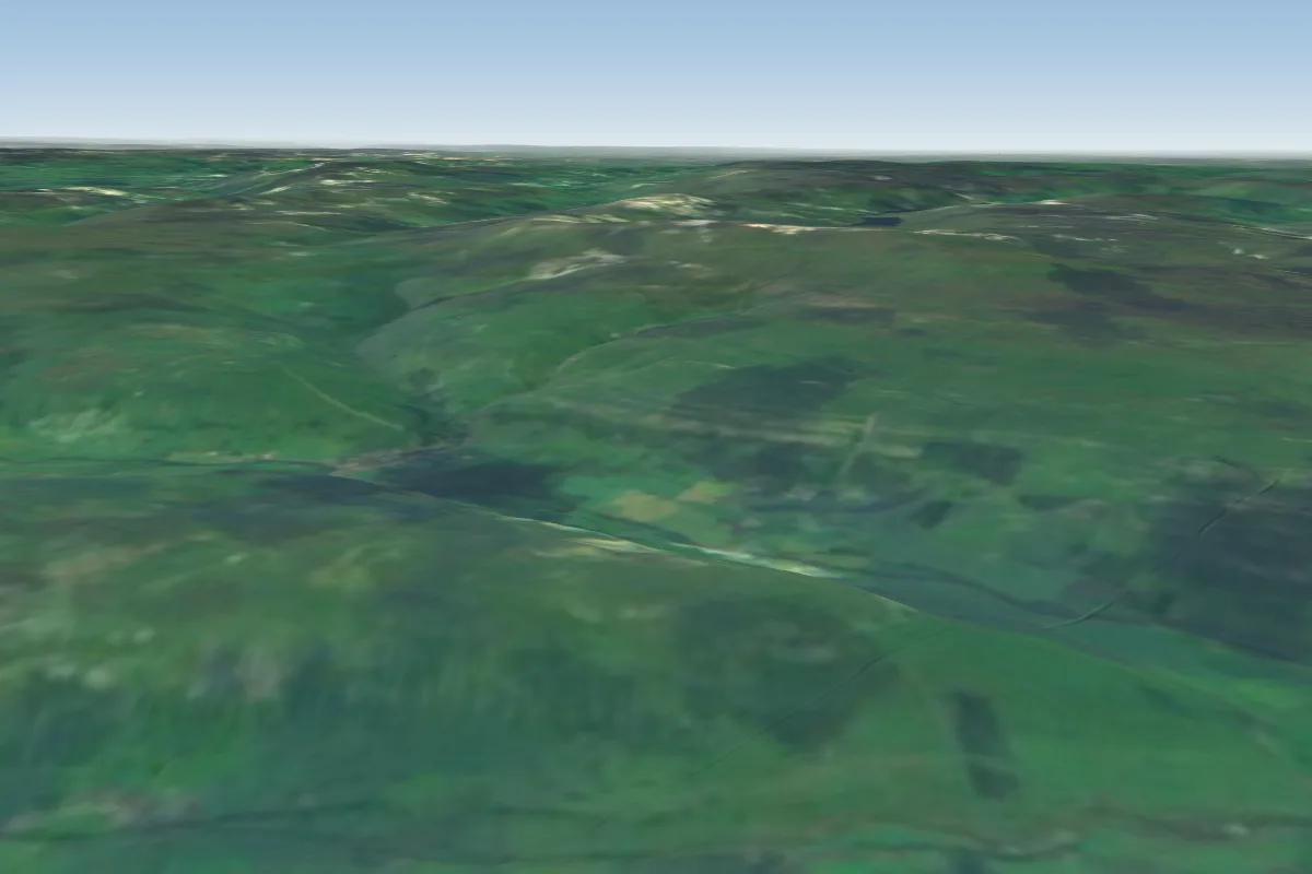 Windbank8 km E · Faces SWWorks in other winds
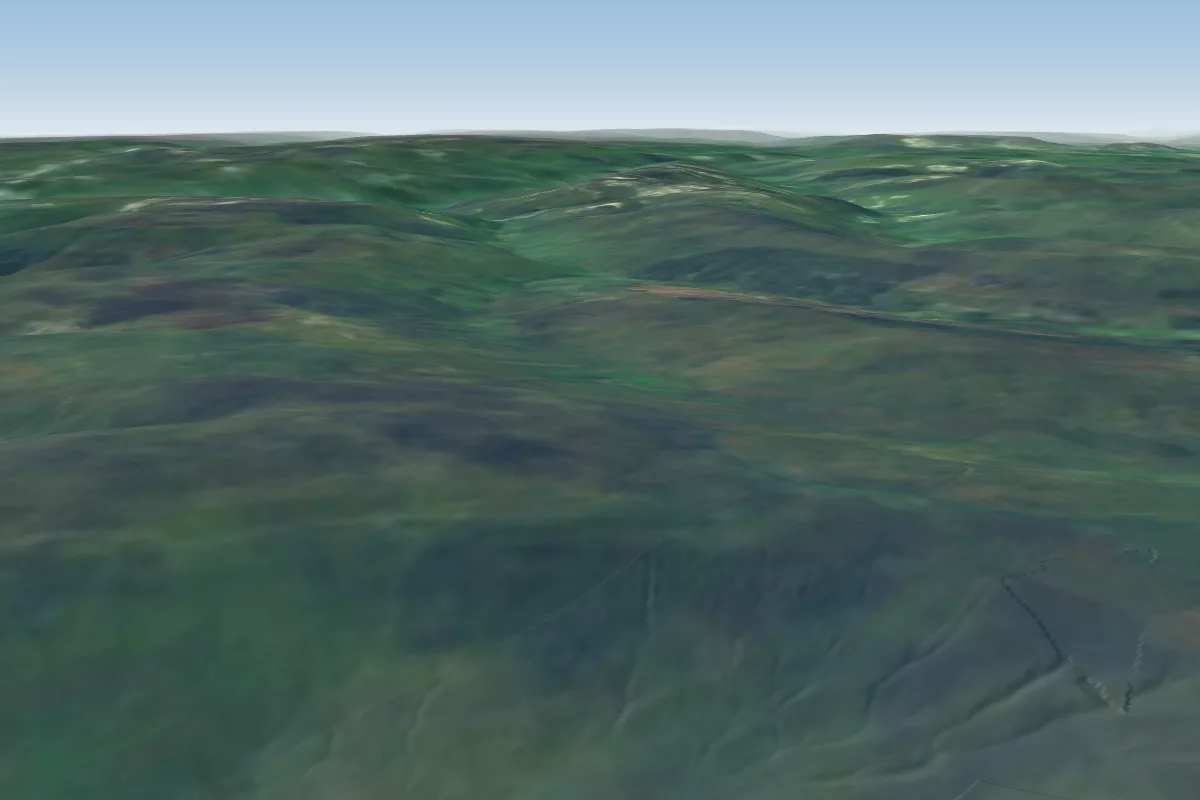 Dodd Fell12 km NW · Faces W–NWWorks in other winds
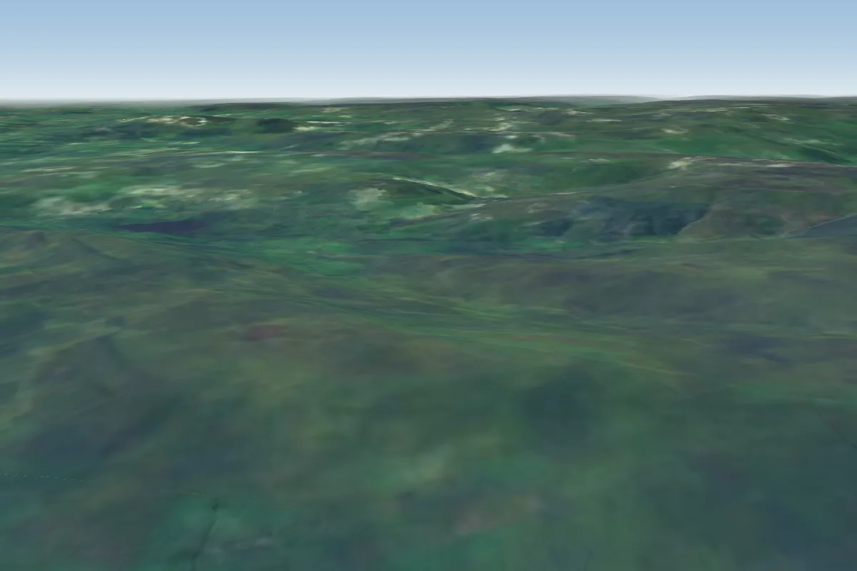 Wether Fell14 km N
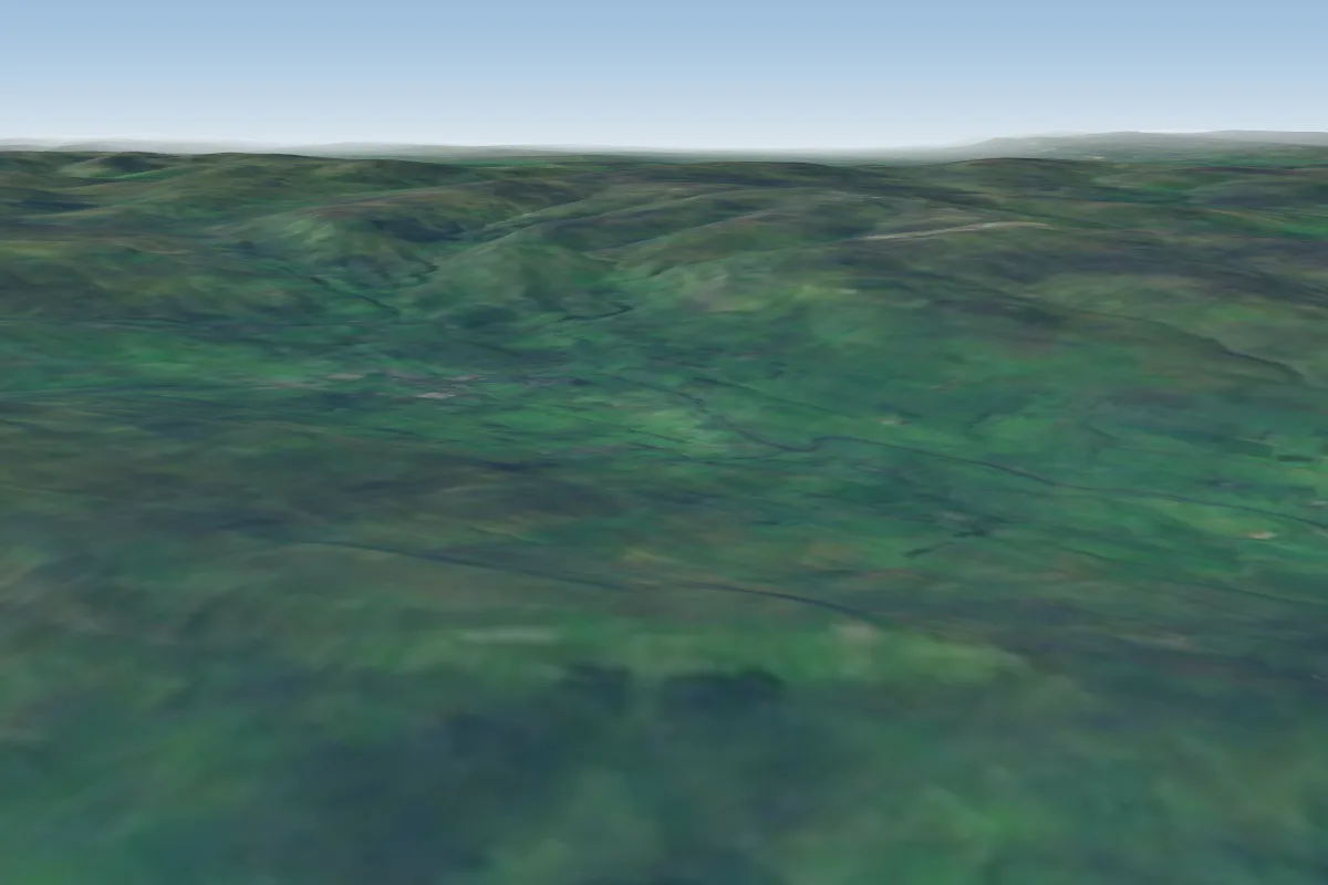 Semer Water15 km N · Faces SEWorks in other winds
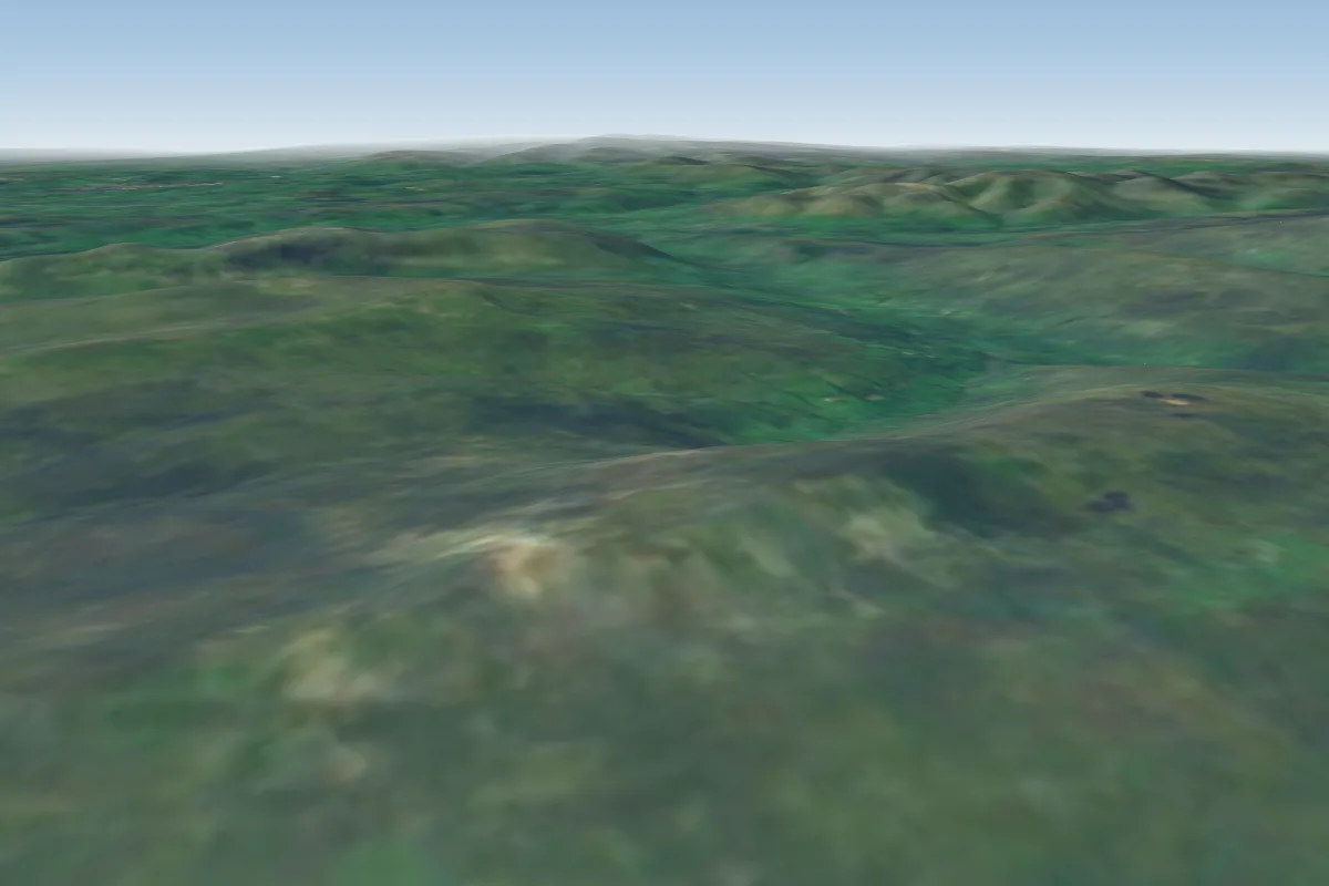 Whernside17 km NW · Faces E–SEWorks in other winds
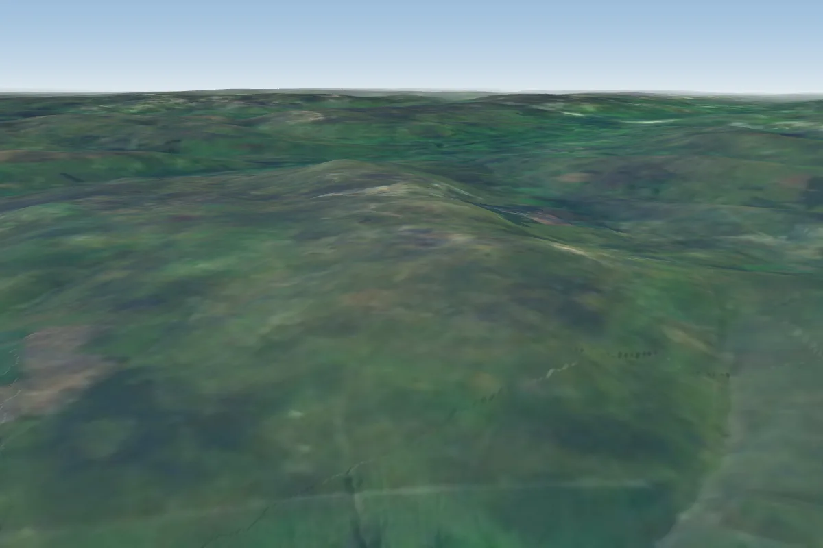 Brant Side18 km NW · Faces SWWorks in other winds
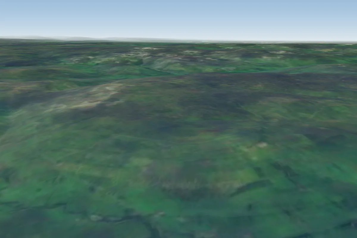 Stags Fell19 km N · Faces S–SWWorks in other winds
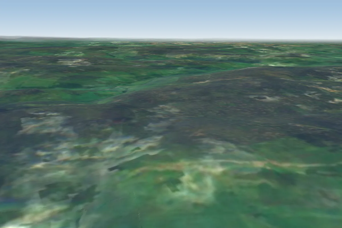 Nappa Scar21 km N · Faces SWWorks in other winds
Pilot notes
No notes yet. Flown Cow Close? Tell the next pilot what to expect.
Pilot notes on Cow Close
Flying Cow Close?
Takeoff, landing, rules, the hour by hour forecast and live wind are in the site details on the map.
Open site detailsSources
- ParaglidingEarth site record © ParaglidingEarth contributors (CC BY-SA)