Dales Hang Gliding and Paragliding Club
Manages the site
S to SW facing site · 469 m takeoff
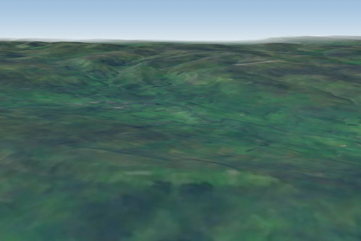
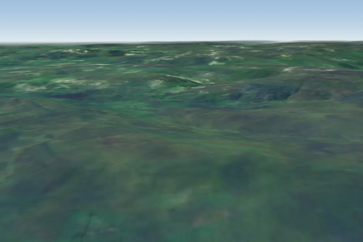
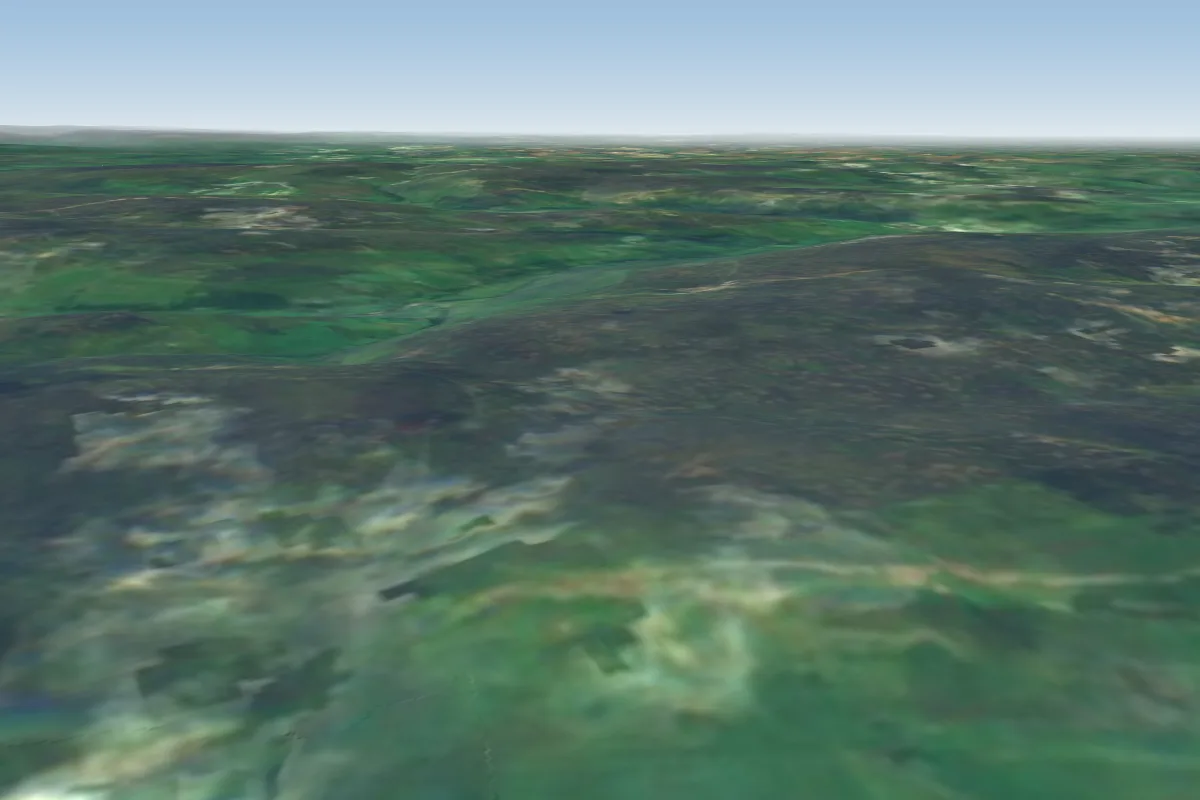
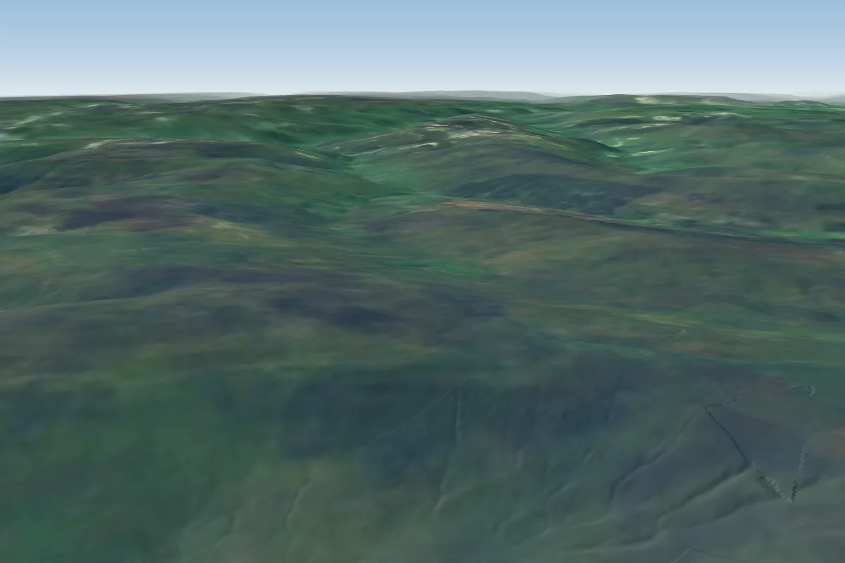
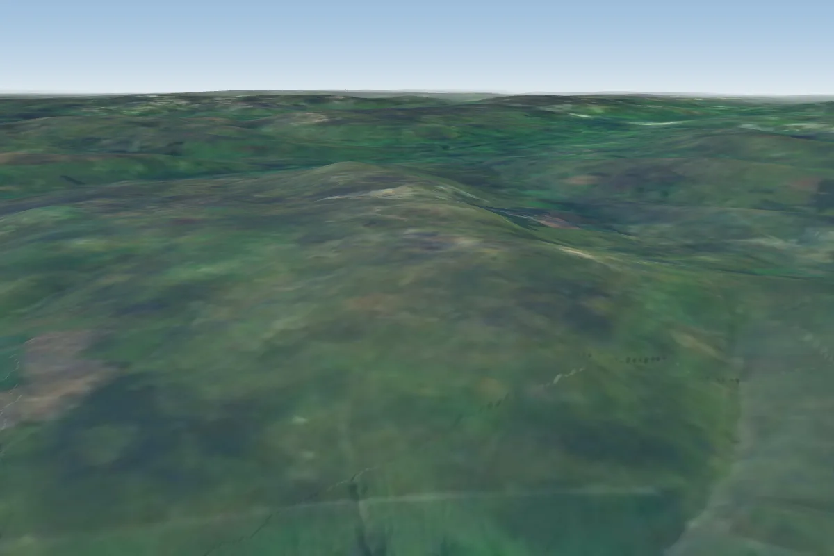
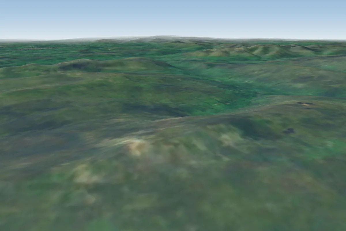
Stags Fell is a flying site in Yorkshire Dales with a recorded launch elevation of 469 m. It works best in southerly and south-westerly winds, and can also work in south-easterly and westerly winds.
Manages the site
Flyable days per month in a typical year.
Flyable days for Stags Fell are on the way. We are scoring ten years of weather for every site, month by month, against this site, its region and the sites around it.
The nearest towns, for a bed, food and a lift to takeoff.
For the days the wind is wrong: places worth a visit within 10 km of Stags Fell.
 Hardraw ForceOutdoors · 0.6 km awayWaterfall in North Yorkshire, England
 St Mary and St John's Church, HardrawCulture · 1.1 km awayChurch in Hardraw, England
 Dales Countryside MuseumCulture · 2.3 km awayMuseum in the Yorkshire Dales, England
 St Margaret's Church, HawesCulture · 2.5 km awayAnglican church in North Yorkshire, England
 Cotter ForceOutdoors · 2.6 km awayWaterfall in North Yorkshire, England
 Lovely SeatOutdoors · 2.8 km awayPeak in the Yorkshire Dales, England
 WensleydaleOutdoors · 2.9 km awayUpper valley of the River Ure in North Yorkshire, England
 Wether FellOutdoors · 5.4 km awayPeak in the Yorkshire Dales, England
No notes yet. Flown Stags Fell? Tell the next pilot what to expect.
Takeoff, landing, rules, the hour by hour forecast and live wind are in the site details on the map.
Open site details