Dales Hang Gliding and Paragliding Club
Manages the site
SW to W facing ridge site · 526 m takeoff · 18 m height gain
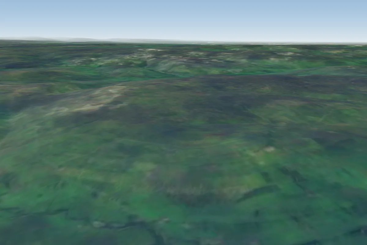
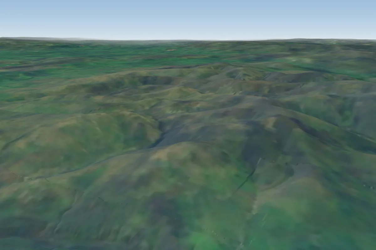
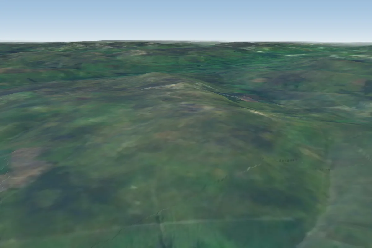
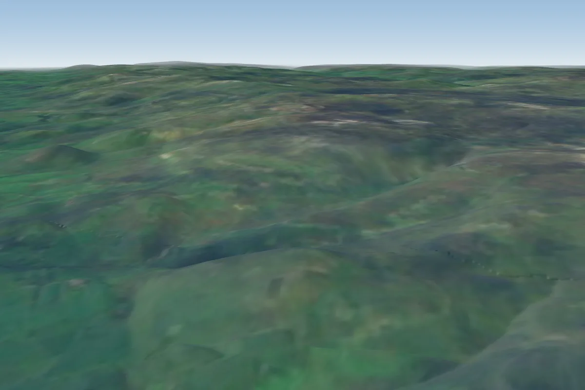
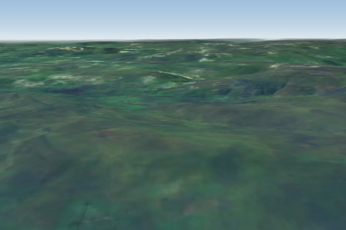
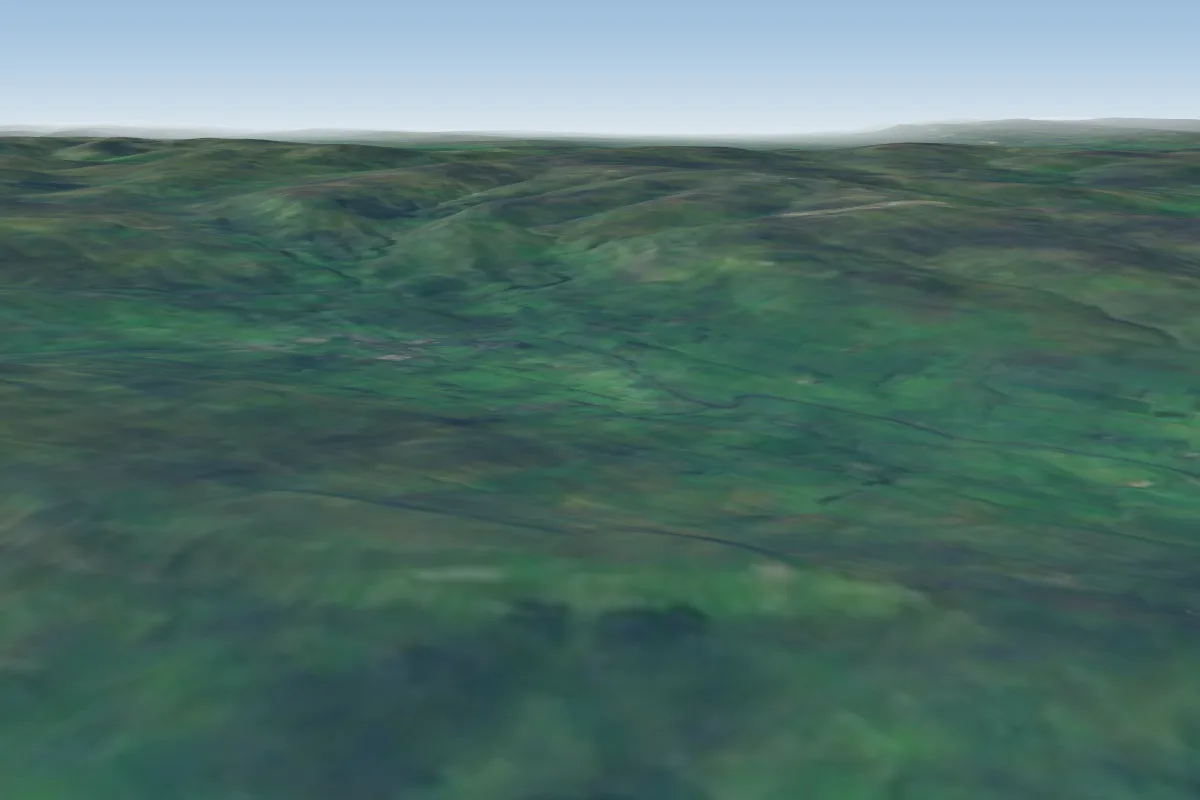
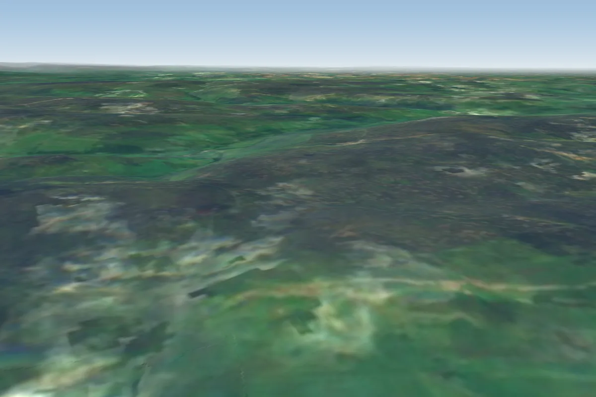
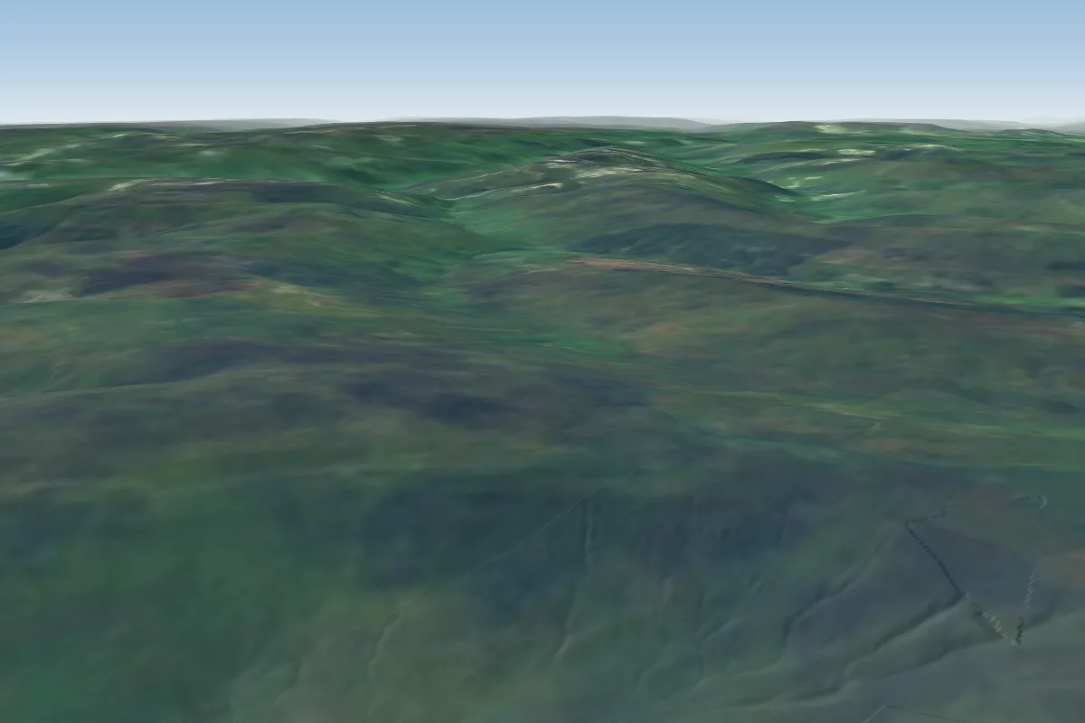
Tailbridge is a hill site in Yorkshire Dales with a recorded launch elevation of 526 m. It works best in south-westerly and westerly winds. Pilots fly it for ridge soaring, using foot launch.
Manages the site
Flyable days per month in a typical year.
Flyable days for Tailbridge are on the way. We are scoring ten years of weather for every site, month by month, against this site, its region and the sites around it.
The nearest towns, for a bed, food and a lift to takeoff.
For the days the wind is wrong: places worth a visit within 10 km of Tailbridge.
 Nine Standards RiggOutdoors · 2.5 km awayPeak in the Pennine Hills of England
 Janny Wood SectionOutdoors · 2.5 km awayProtected area in Cumbria, England
 Lammerside CastleCulture · 3.2 km awayMotte-and-bailey castle in the East Riding of Yorkshire, England
 Pendragon CastleCulture · 3.5 km awayRuined castle in Mallerstang, Cumbria, England
 High Seat (Yorkshire Dales)Outdoors · 3.8 km awayMountain in Cumbria, England
 Hartley CastleCulture · 4 km awayCastle in England
 Gregory ChapelOutdoors · 4.8 km awayMountain in the United Kingdom
 Kirkby Stephen Parish ChurchCulture · 4.8 km awayChurch in Kirkby Stephen, England
No notes yet. Flown Tailbridge? Tell the next pilot what to expect.
Takeoff, landing, rules, the hour by hour forecast and live wind are in the site details on the map.
Open site details