Aberdeen Hang Gliding and Paragliding Club
Manages the site
Site · 471 m takeoff
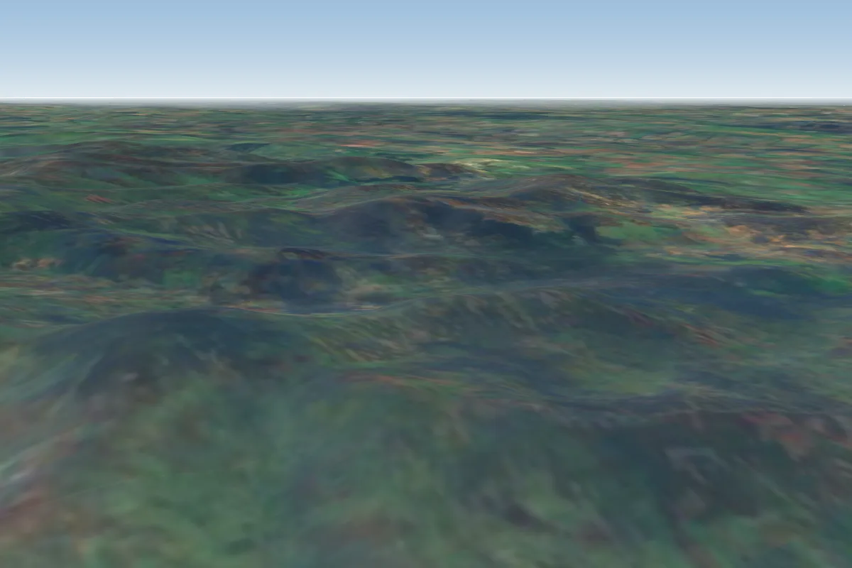
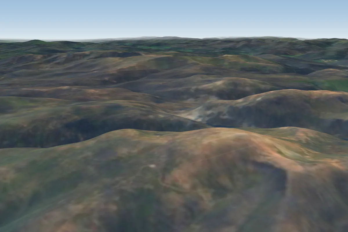
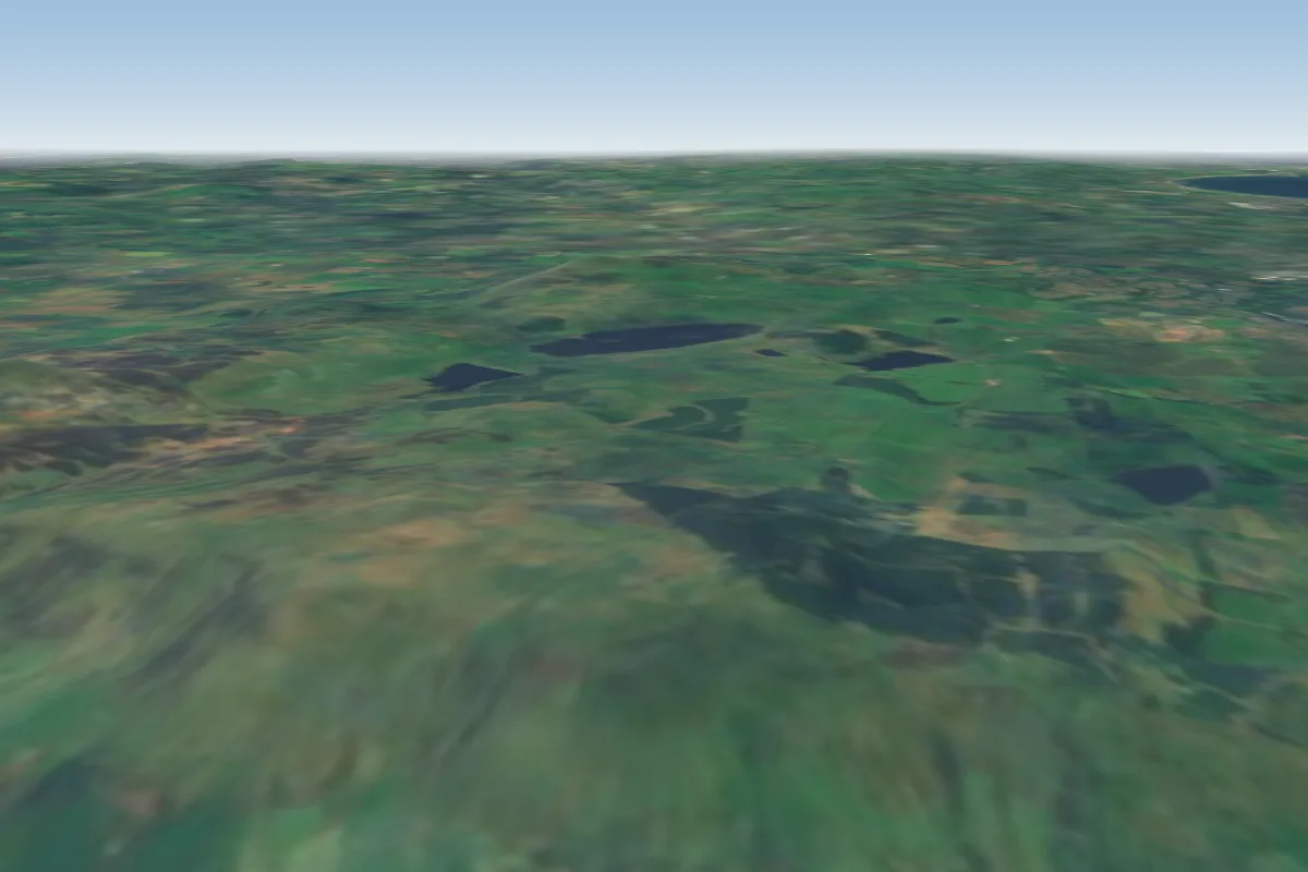
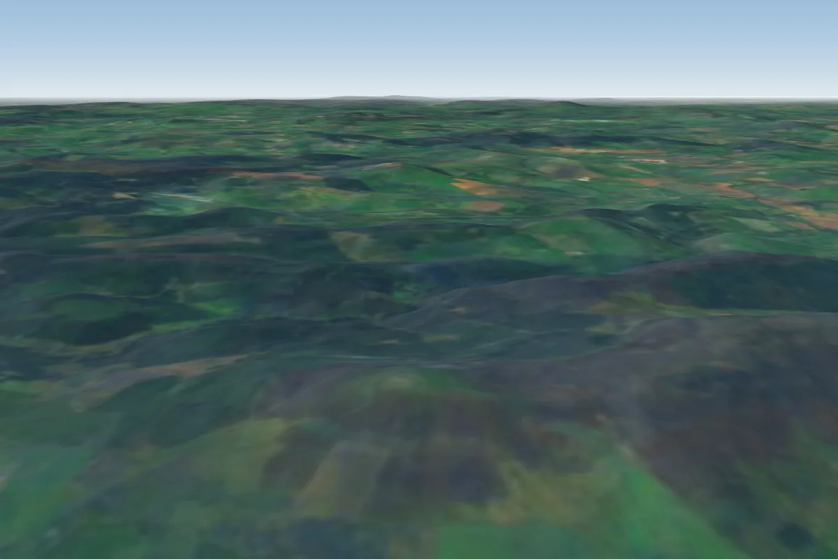
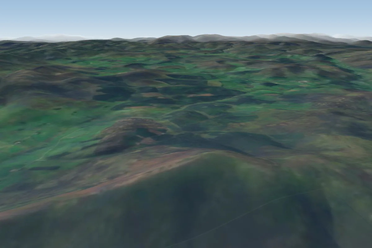
Craig Lethnot - Glen Clova is a flying site in NE Scotland / Angus glens with a recorded launch elevation of 471 m. No launch directions are recorded yet.
Manages the site
Flyable days per month in a typical year.
Flyable days for Craig Lethnot - Glen Clova are on the way. We are scoring ten years of weather for every site, month by month, against this site, its region and the sites around it.
The nearest towns, for a bed, food and a lift to takeoff.
For the days the wind is wrong: places worth a visit within 10 km of Craig Lethnot - Glen Clova.
 Mile Hill, DykeheadOutdoors · 5.2 km awayHill (321m) near Dykehead, Angus, Scotland
 Cat LawOutdoors · 6.3 km awayHill in Angus, Scotland
 Cortachy CastleCulture · 7 km awayCastle in Angus, Scotland
 Inverquharity CastleCulture · 9 km awayCastle in Angus, Scotland
 Ben TirranOutdoors · 9.1 km awayMountain in the Grampian Mountains of Scotland
 Balintore CastleCulture · 9.7 km awayCastle in Scotland, built in 1860s
 Mile Hill (Marilyn)Outdoors · 9.8 km awayMountain (410m) in Angus, Scotland
No notes yet. Flown Craig Lethnot - Glen Clova? Tell the next pilot what to expect.
Takeoff, landing, rules, the hour by hour forecast and live wind are in the site details on the map.
Open site details