Tap o' Noth
SE to SW facing site · 549 m takeoff
Overview
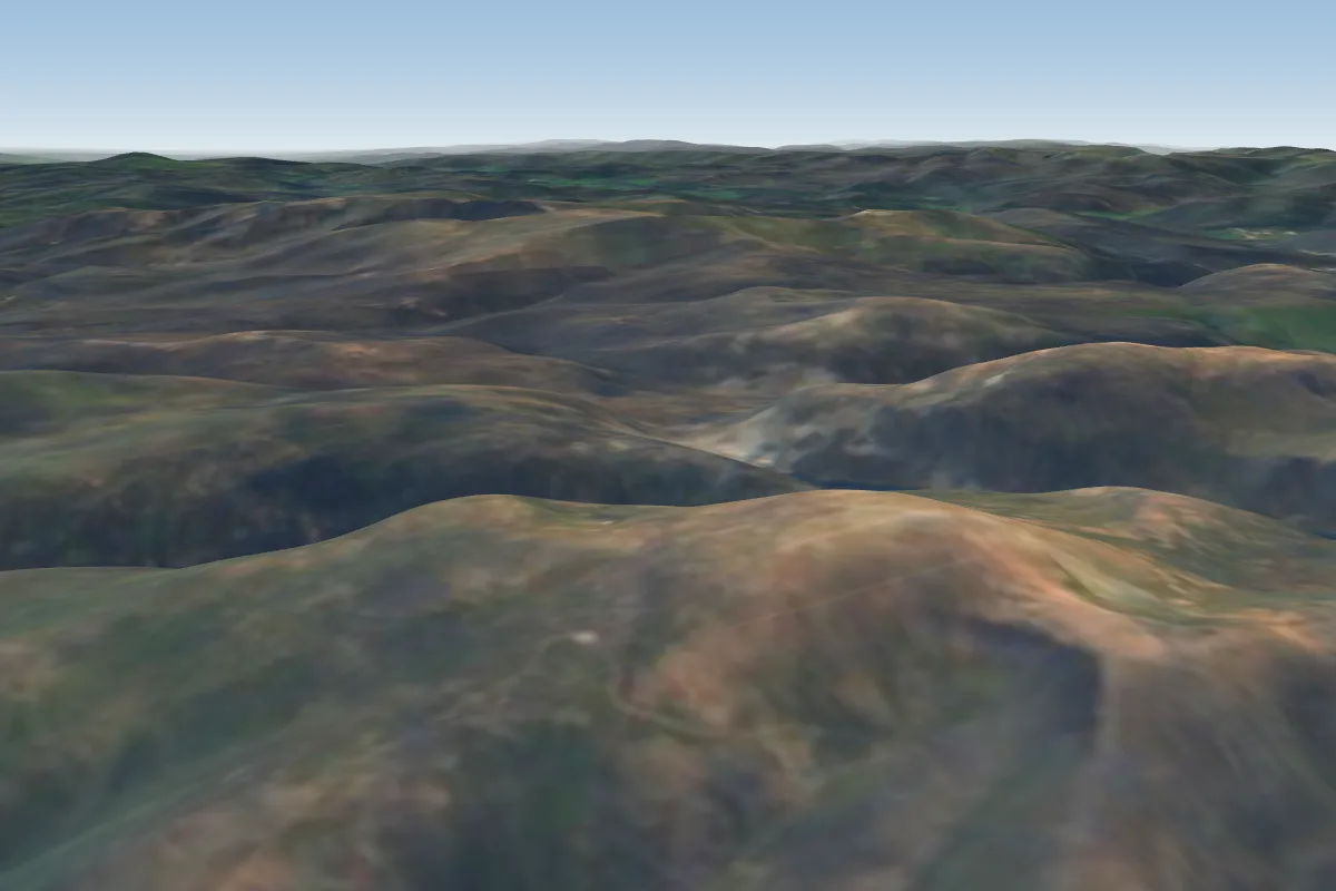
Tap o' Noth is a flying site in UK with a recorded launch elevation of 549 m. It works best in south-easterly, southerly and south-westerly winds.
- Full and up to date site information on the Aberdeen Hang-gliding and Paragliding website, see below. Source: ParaglidingEarth
When to go
Flyable days per month in a typical year.
Flyable days for Tap o' Noth are on the way. We are scoring ten years of weather for every site, month by month, against this site, its region and the sites around it.
Getting there
Nearest airports
- ABZ Aberdeen International Airport43 km
- INV Inverness Airport74 km
- DND Dundee Airport100 km
Things to do
For the days the wind is wrong: places worth a visit within 10 km of Tap o' Noth.
 Wormy Hillock HengeCulture · 3.9 km awayHistoric site in Aberdeenshire, Scotland
 Druminnor CastleCulture · 4 km awayCastle in Aberdeenshire, Scotland
 St Mary's Kirk, AuchindoirCulture · 4.7 km awayChurch in Scotland
 Clashindarroch ForestOutdoors · 6.6 km awayForest in Aberdeenshire, Scotland
 Ardmore distilleryCulture · 6.8 km awayScotch whisky distillery in Scotland
 Beldorney CastleCulture · 9.2 km away16th century Z-plan castle in Aberdeenshire, Scotland
- Lesmoir CastleCulture · 1.8 km awayCastle in Aberdeenshire, Scotland
- Clova MonasteryCulture · 8.5 km awayCuldee monastery in Aberdeenshire, Scotland
Flying nearby
See them on the map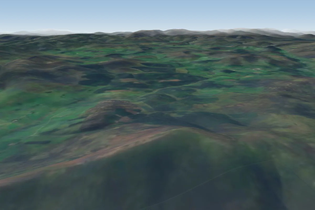
Pilot notes
No notes yet. Flown Tap o' Noth? Tell the next pilot what to expect.
Pilot notes on Tap o' Noth
Flying Tap o' Noth?
Takeoff, landing, rules, the hour by hour forecast and live wind are in the site details on the map.
Open site detailsSources
- ParaglidingEarth site record © ParaglidingEarth contributors (CC BY-SA)