Pennine Soaring Club
Manages the site · Membership required
Site · 389 m takeoff
Edenfield is a flying site in Lancashire / West Pennines with a recorded launch elevation of 389 m. No launch directions are recorded yet.
Manages the site · Membership required
Flyable days per month in a typical year.
Flyable days for Edenfield are on the way. We are scoring ten years of weather for every site, month by month, against this site, its region and the sites around it.
The nearest towns, for a bed, food and a lift to takeoff.
For the days the wind is wrong: places worth a visit within 10 km of Edenfield.
 Hail Storm HillOutdoors · 2 km awayHill in Lancashire, England
 Irwell ValleyOutdoors · 2.6 km awayValley in England
 St Paul's Church, RamsbottomCulture · 3.1 km awayChurch in Greater Manchester, England
 Rossendale ValleyOutdoors · 4.7 km awayRiver valley in Lancashire, England
 St Nicholas Church, NewchurchCulture · 4.7 km awayChurch in Lancashire, England
 St John's Church, RawtenstallCulture · 4.9 km awayChurch in Lancashire, England
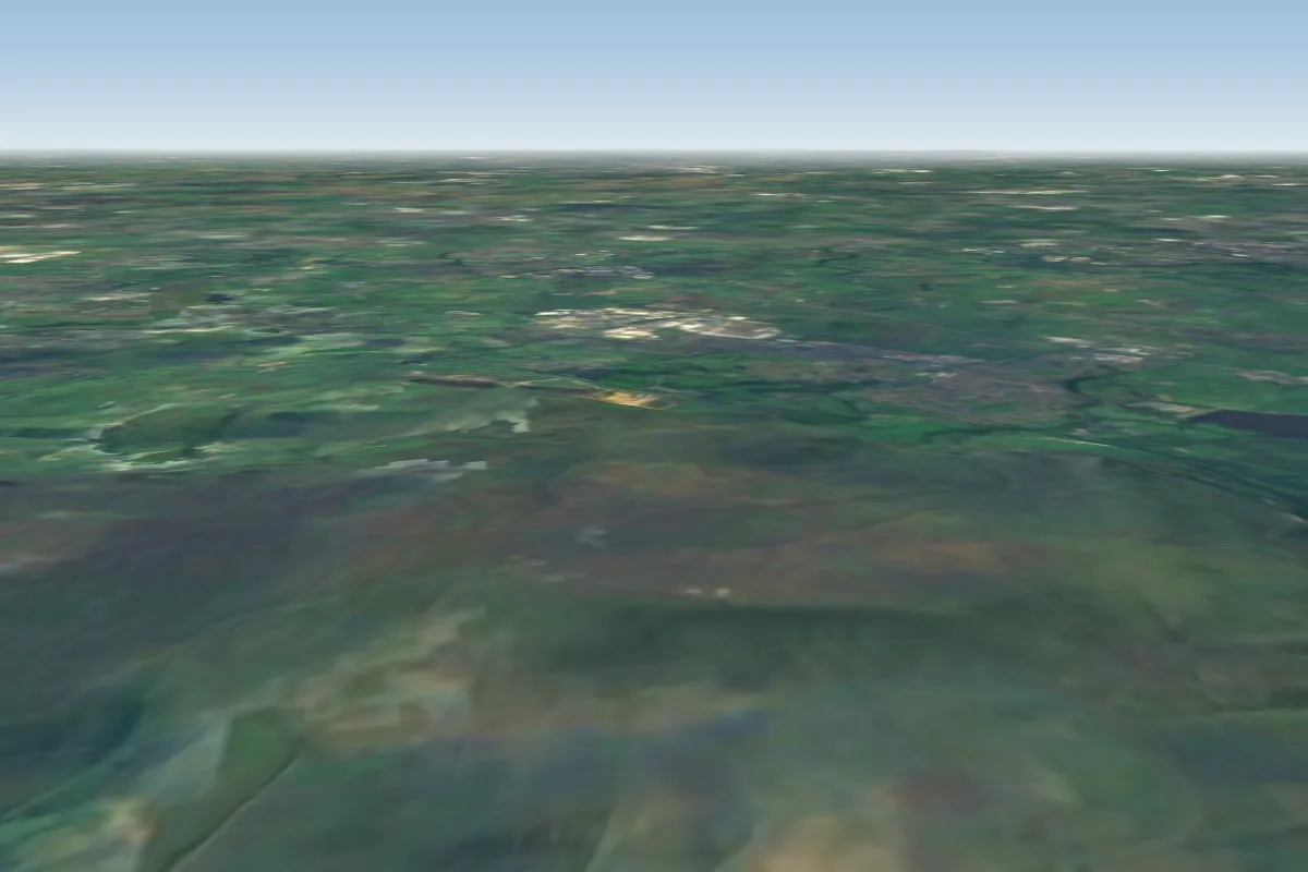 Winter Hill16 km W · Faces NW–NEWorks in other winds
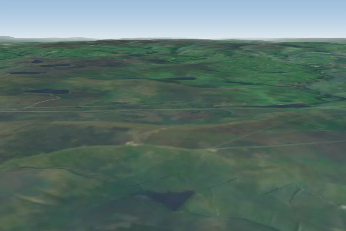 Nont Sarahs20 km E · Faces SE–SWWorks in other winds
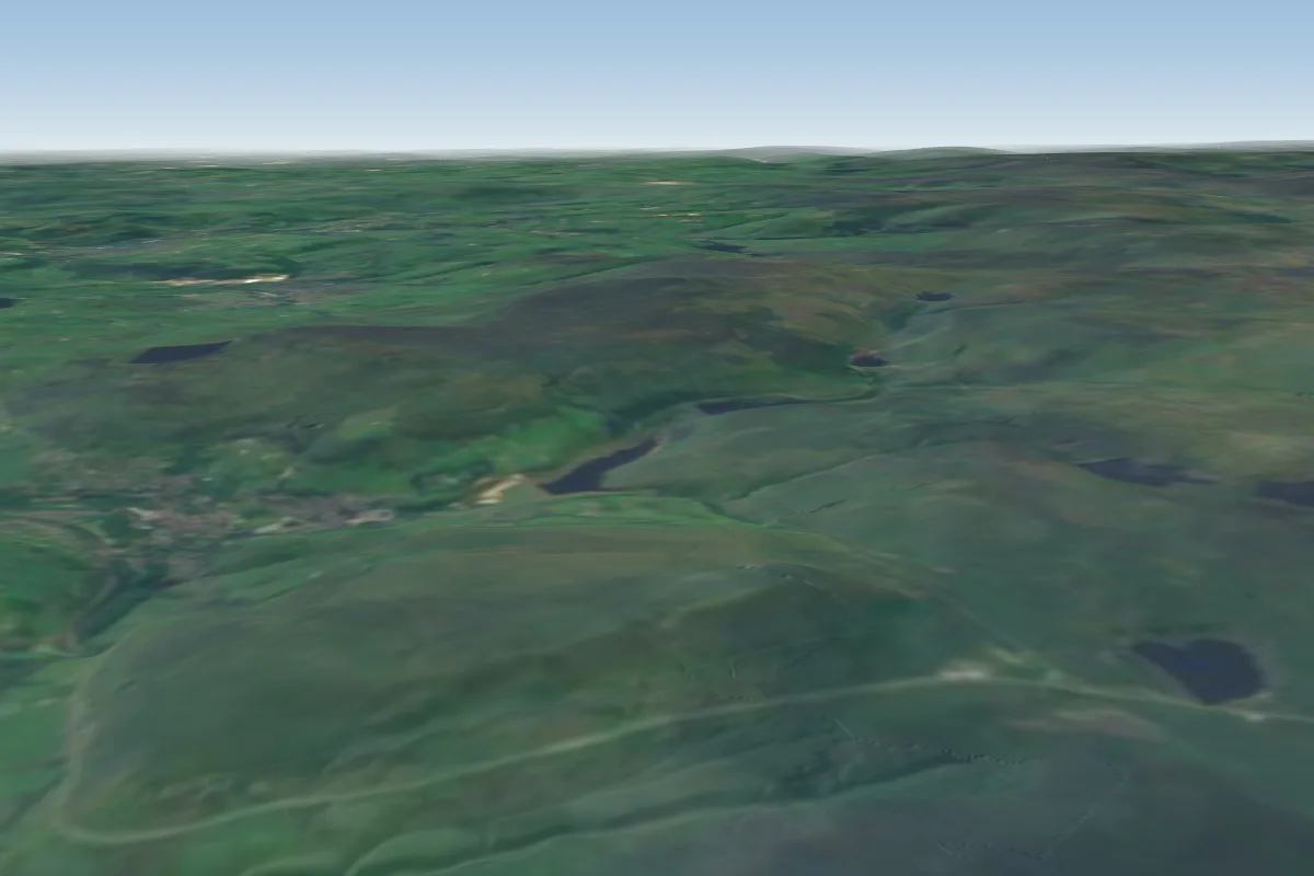 Pule22 km E · Faces WWorks in other winds
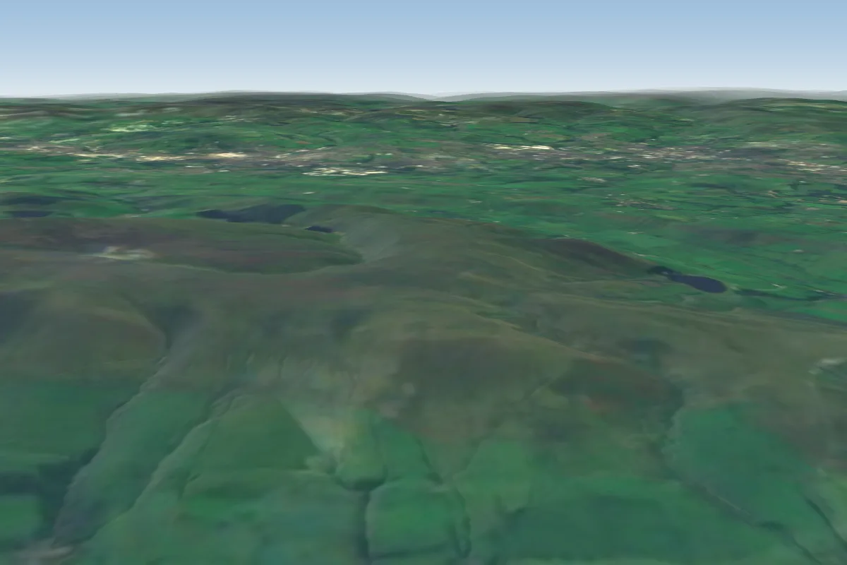 Pendle23 km N · Faces NWWorks in other winds
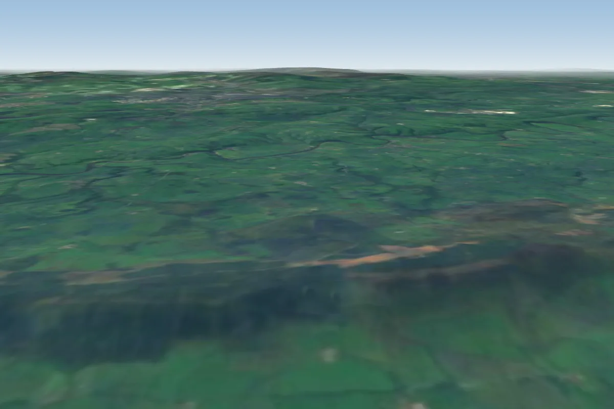 Longridge fell28 km NW · Faces NW–NWorks in other winds
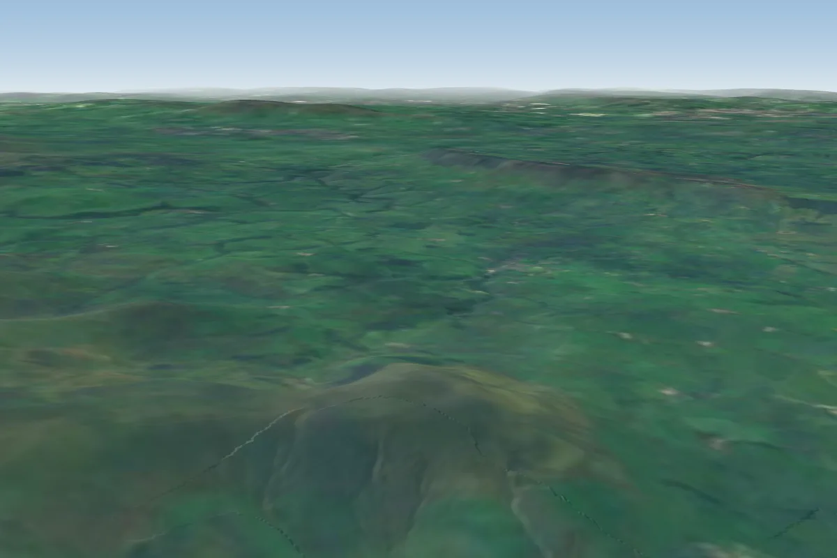 Parlick35 km NW · Faces E–WWorks in other winds
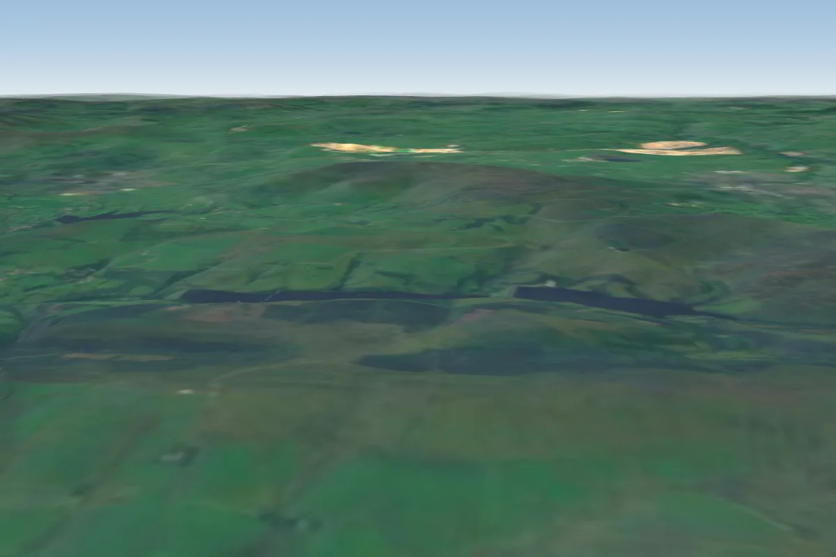 Cats Tor45 km SE · Faces SW–NWWorks in other winds
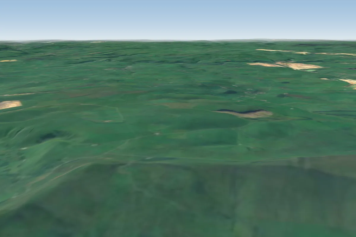 Lords Seat45 km SE · Faces NWorks in other winds
No notes yet. Flown Edenfield? Tell the next pilot what to expect.
Takeoff, landing, rules, the hour by hour forecast and live wind are in the site details on the map.
Open site details