Pennine Soaring Club
Manages the site · Membership required
E to W facing ridge site · 423 m takeoff · 201 m height gain
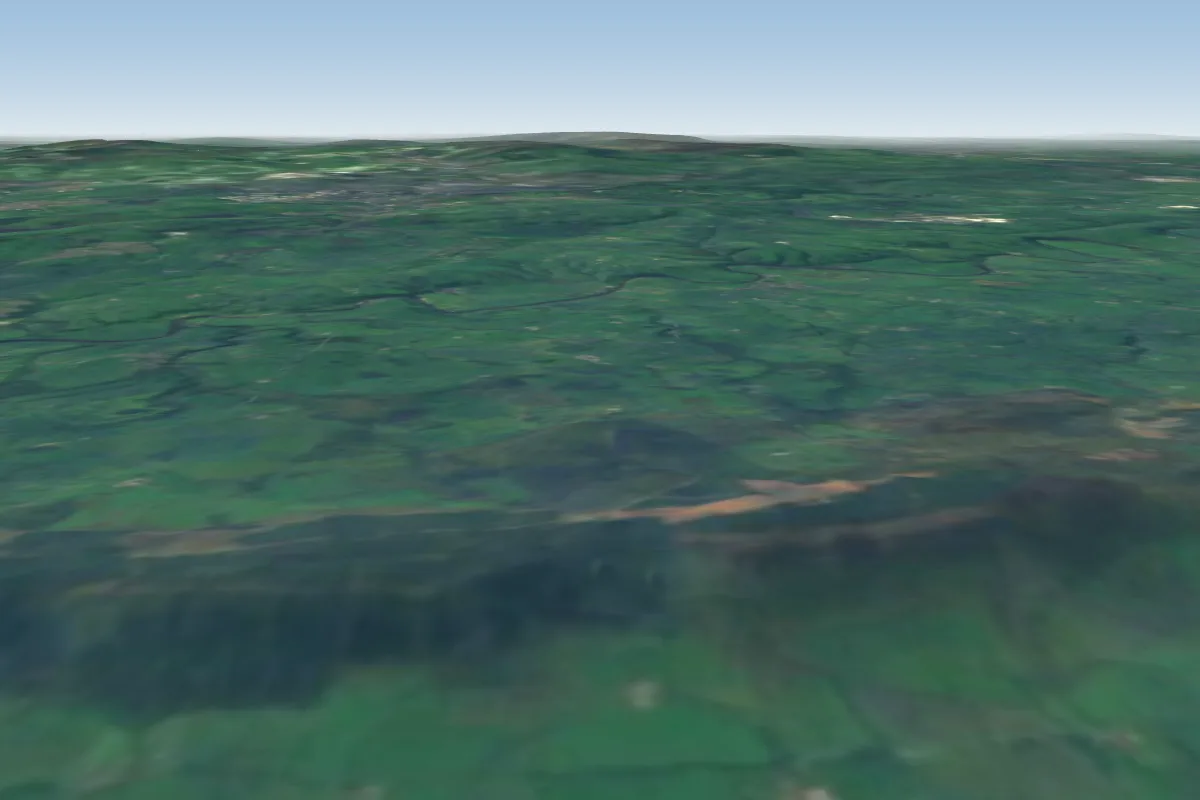
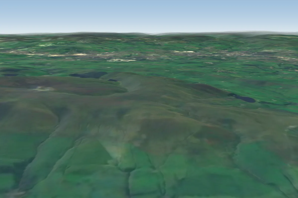
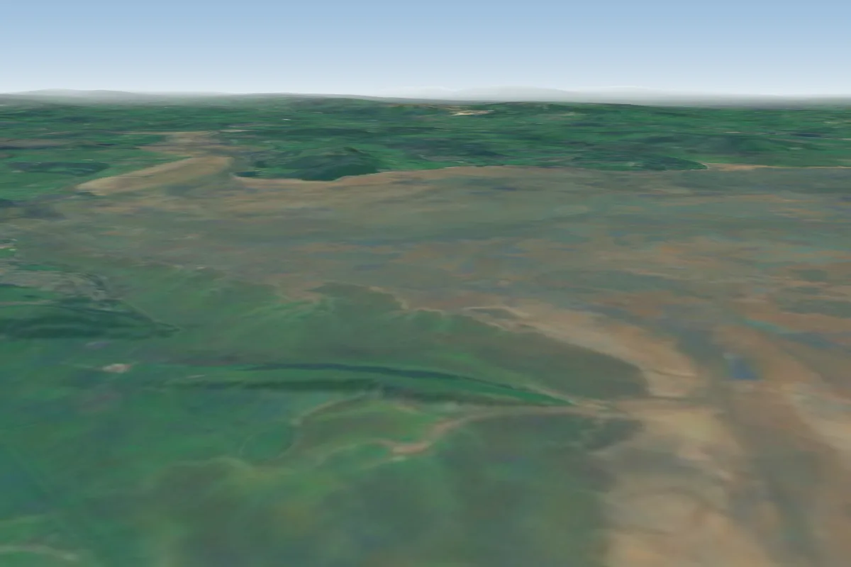
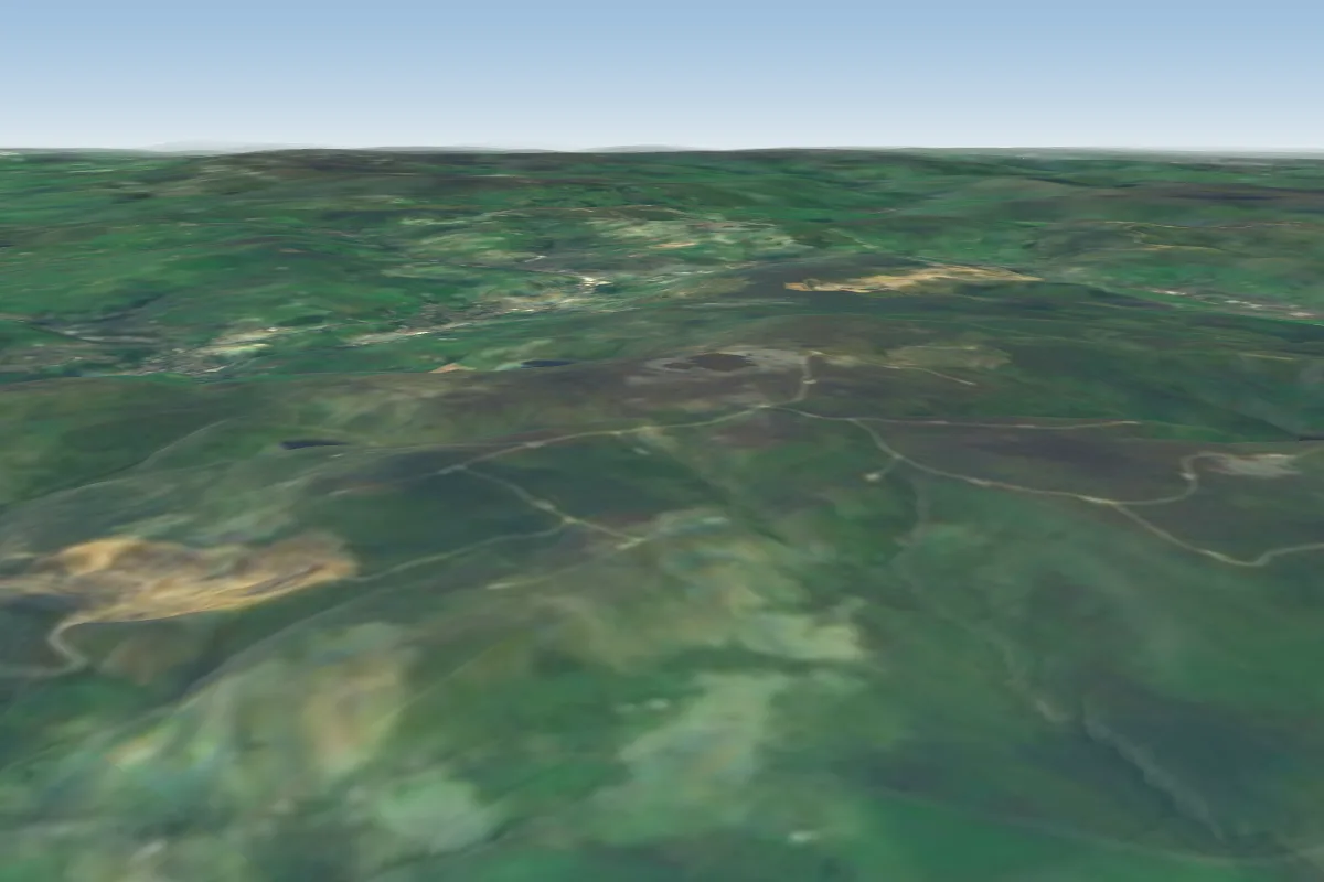
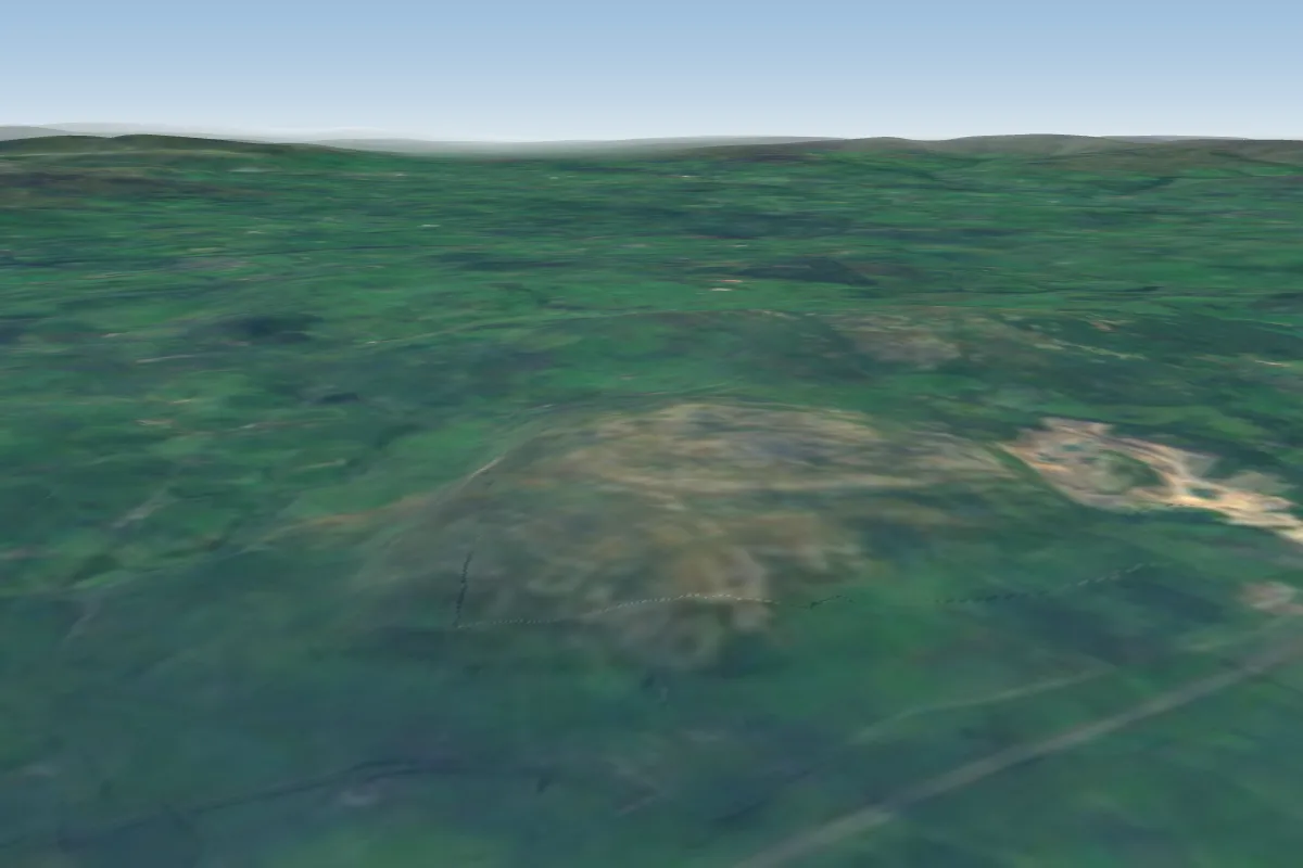
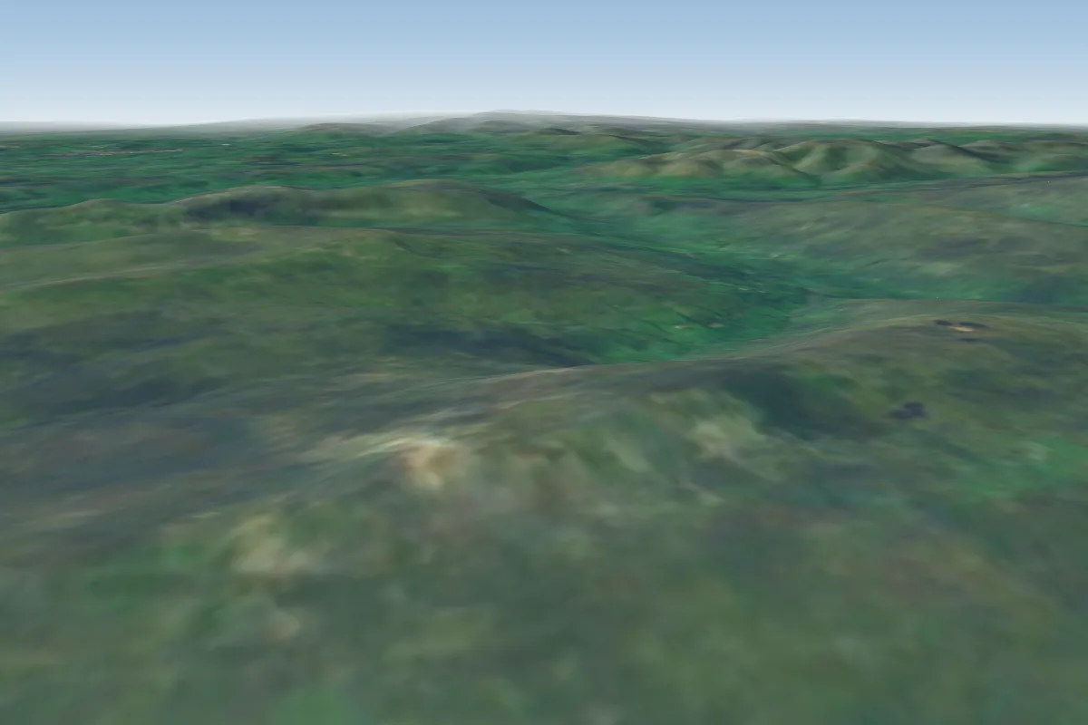
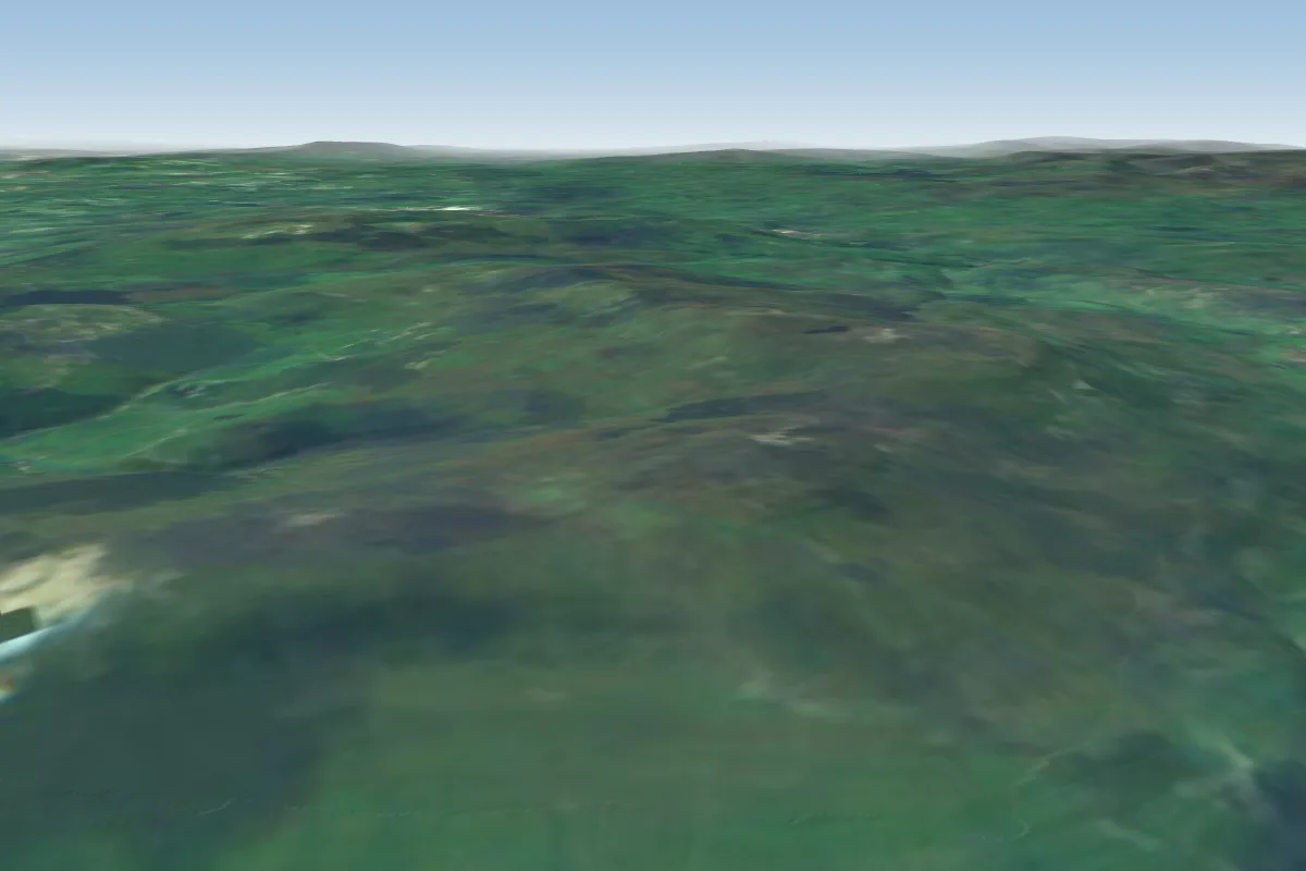
Parlick is a hill site in Lancashire / West Pennines with a recorded launch elevation of 423 m. It works best in easterly, south-easterly, southerly, south-westerly and westerly winds, and can also work in north-easterly and north-westerly winds. Pilots fly it for ridge soaring, using foot launch.
Manages the site · Membership required
Flyable days per month in a typical year.
Flyable days for Parlick are on the way. We are scoring ten years of weather for every site, month by month, against this site, its region and the sites around it.
The nearest towns, for a bed, food and a lift to takeoff.
For the days the wind is wrong: places worth a visit within 10 km of Parlick.
 ParlickOutdoors · 0.1 km awayHill in Lancashire, England
 Kirk MillCulture · 2.9 km awayCotton mill in Chipping, Lancashire, England
 St Bartholomew's Church, ChippingCulture · 3.1 km awayChurch in Lancashire, England
 Lower Lees FarmhouseOutdoors · 5.9 km awayBuilding in Ribble Valley, Lancashire, England
 Lappet MillCulture · 6.3 km awayTextile mill in Lancashire, England
 Hawthornthwaite FellOutdoors · 6.5 km awayMountain in the United Kingdom
 Whitewell HotelOutdoors · 6.5 km awayBuilding in Ribble Valley, Lancashire, England
 Higher Lees FarmhouseOutdoors · 6.8 km awayBuilding in Ribble Valley, Lancashire, England
No notes yet. Flown Parlick? Tell the next pilot what to expect.
Takeoff, landing, rules, the hour by hour forecast and live wind are in the site details on the map.
Open site details