South East Wales Hang Gliding and Paragliding Club
Manages the site · Membership required
North-west-facing ridge site · 358 m takeoff
Garway Hill is a flatland site in SE Wales / Black Mountains with a recorded launch elevation of 358 m. It works best in north-westerly winds, and can also work in south-westerly and westerly winds. Pilots fly it for ridge soaring, using foot launch.
Manages the site · Membership required
Flyable days per month in a typical year.
Flyable days for Garway Hill are on the way. We are scoring ten years of weather for every site, month by month, against this site, its region and the sites around it.
The nearest towns, for a bed, food and a lift to takeoff.
For the days the wind is wrong: places worth a visit within 10 km of Garway Hill.
 ArchenfieldCulture · 2.8 km awayHistoric English name for an area of southern and western Herefordshire
 Church of St Nicholas, GrosmontCulture · 3.2 km awayChurch in Monmouthshire, Wales
 St James's Church, LlanguaCulture · 4.7 km awayChurch in Monmouthshire, Wales
 Pontrilas CourtCulture · 4.7 km awayHistoric site in Pontrilas, Herefordshire
 St Mary's Church, KenderchurchCulture · 4.7 km awayHistoric site in Herefordshire, England
 St Bridget's Church, SkenfrithCulture · 5.1 km awayChurch in Monmouthshire, Wales
 Skenfrith CastleCulture · 5.2 km awayRuined castle in Monmouthshire, Wales
 Graig SyfyrddinOutdoors · 5.2 km awayHill in Wales
 Blorenge21 km SW · Faces NW–EWorks in other winds
 Pandy12 km W · Faces EWorks in other winds
 Skirrid13 km SW · Faces SE, NWWorks in other winds
 Sugar Loaf19 km SW · Faces SWorks in other winds
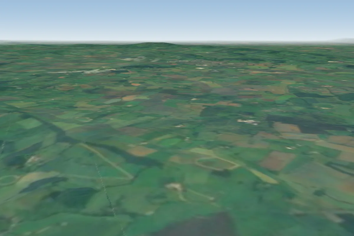 Much Marcle21 km E
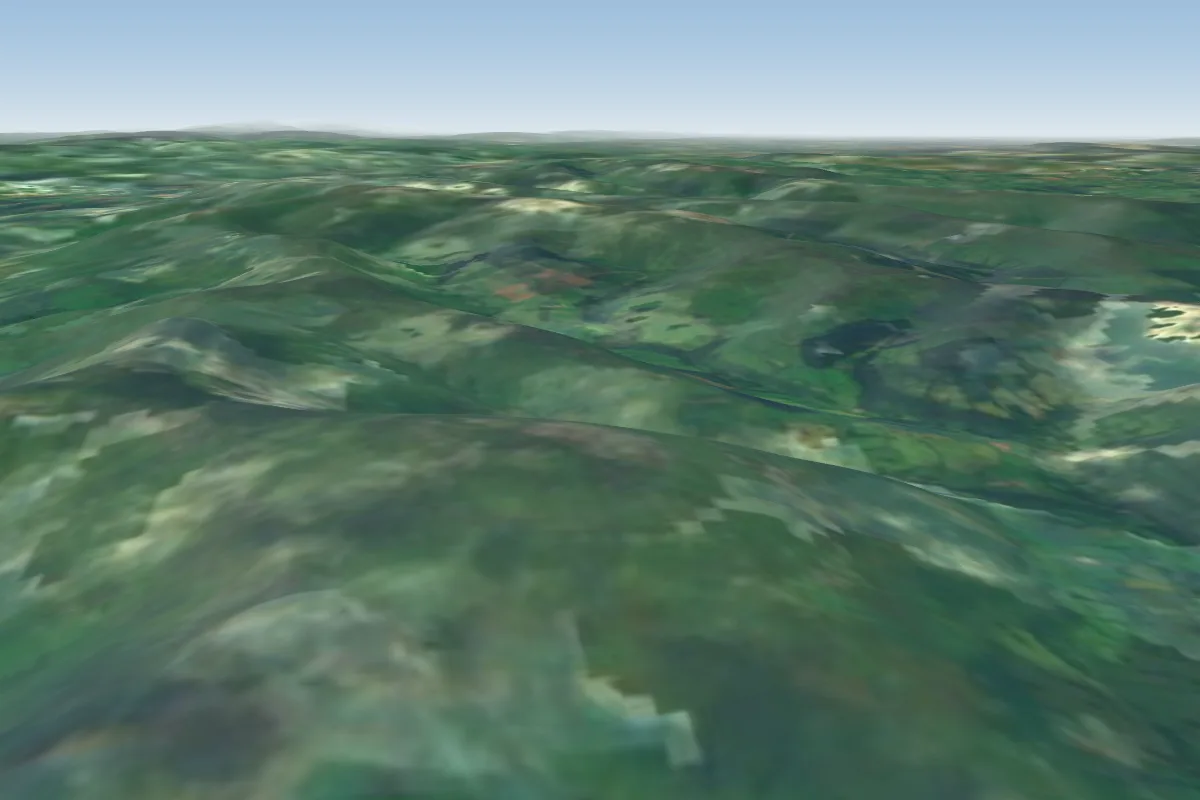 Pen Cerrig Calch22 km W · Faces SWorks in other winds
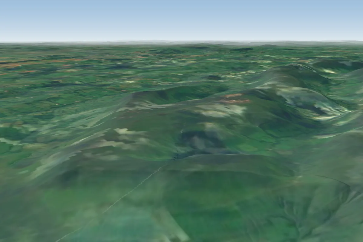 Hay Bluff22 km NW · Faces NE, NWWorks in other winds
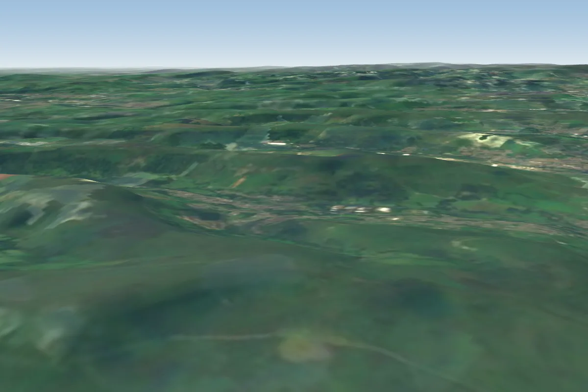 Blaenavon27 km SW · Faces NEWorks in other winds
No notes yet. Flown Garway Hill? Tell the next pilot what to expect.
Takeoff, landing, rules, the hour by hour forecast and live wind are in the site details on the map.
Open site details