Malvern Hang Gliding Club
Manages the site
SW to W facing site · 172 m takeoff
Much Marcle is a flying site in Malverns / Cotswolds / Wye Valley with a recorded launch elevation of 172 m. It is recorded as workable in south-westerly and westerly winds.
Manages the site
Flyable days per month in a typical year.
Flyable days for Much Marcle are on the way. We are scoring ten years of weather for every site, month by month, against this site, its region and the sites around it.
The nearest towns, for a bed, food and a lift to takeoff.
For the days the wind is wrong: places worth a visit within 10 km of Much Marcle.
 Yatton ChapelCulture · 2.4 km awayChurch in Herefordshire, England
 Much Marcle CastleCulture · 2.7 km awayMotte-and-bailey castle in Herefordshire, England
 HellensCulture · 3.1 km awayHistoric house in Herefordshire, England
 Capler CampCulture · 3.3 km awayIron Age hill fort in Herefordshire, England
 All Saints' Church, BrockhamptonCulture · 3.6 km awayChurch in Herefordshire, England
 St Mary's Church, KempleyCulture · 4.3 km awayChurch in Gloucestershire, England
 St Edward's Church, KempleyCulture · 5.2 km awayChurch in England
 Kempley Daffodil MeadowOutdoors · 5.3 km awayProtected area in Gloucestershire, England
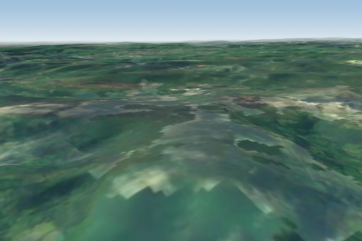 Blorenge41 km SW · Faces NW–EWorks in other winds
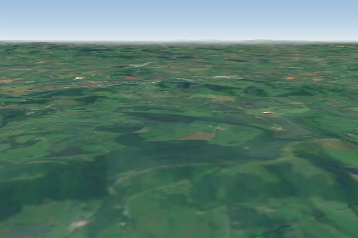 Castle Morton14 km NE · Faces EWorks in other winds
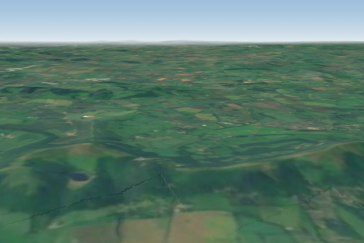 Black Hill16 km NE · Faces EWorks in other winds
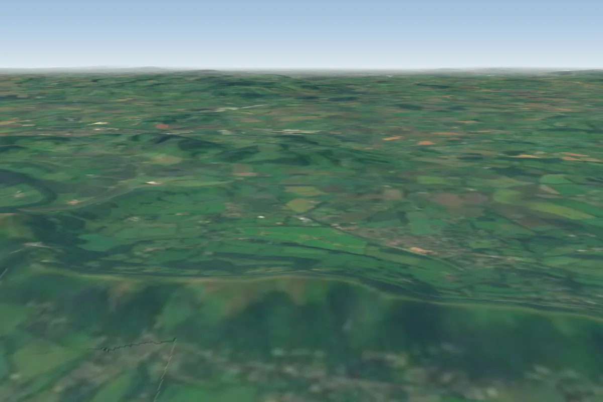 Pinnacle Hill17 km NE · Faces EWorks in other winds
 Kettle sings17 km NE · Faces EWorks in other winds
 Worcester Beacon19 km NE · Faces W
 Garway Hill21 km W · Faces NWWorks in other winds
 Haresfield31 km SE · Faces SW
No notes yet. Flown Much Marcle? Tell the next pilot what to expect.
Takeoff, landing, rules, the hour by hour forecast and live wind are in the site details on the map.
Open site details