Mid Wales & Borders Soaring Club
Manages the site
North-west-facing ridge site · 302 m takeoff
Llanddewi Brefi is a flatland site in Mid Wales / Borders with a recorded launch elevation of 302 m. It works best in north-westerly winds. Pilots fly it for ridge soaring and thermal, using foot launch. It is recorded as suitable for cross-country flights.
Manages the site
Flyable days per month in a typical year.
Flyable days for Llanddewi Brefi are on the way. We are scoring ten years of weather for every site, month by month, against this site, its region and the sites around it.
The nearest towns, for a bed, food and a lift to takeoff.
For the days the wind is wrong: places worth a visit within 10 km of Llanddewi Brefi.
 Betws Bledrws ChurchCulture · 6 km awayChurch near Lampeter, Ceredigion, Wales
 St Peter's Church, LampeterCulture · 9.5 km awayChurch in Lampeter, Wales
 Church of Our Lady of Mount Carmel, LampeterCulture · 9.6 km awayChurch in Ceredigion, Wales
 Farmers6 km S · Faces SEWorks in other winds
 Pen Dinas27 km N · Faces WWorks in other winds
 Constitution Hill30 km N · Faces NW
 Disgwylfa Fawr32 km N · Faces NW
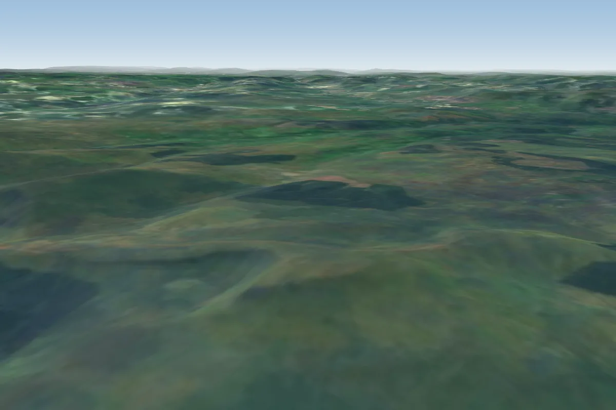 Fan Gyhirych41 km SE · Faces SW–NEPossible XC from here on a NW day, 41 km downwindWorks in other winds
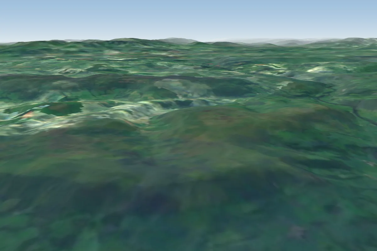 Hundred House (Builth Wells / Fforest farm)43 km E · Faces NWorks in other winds
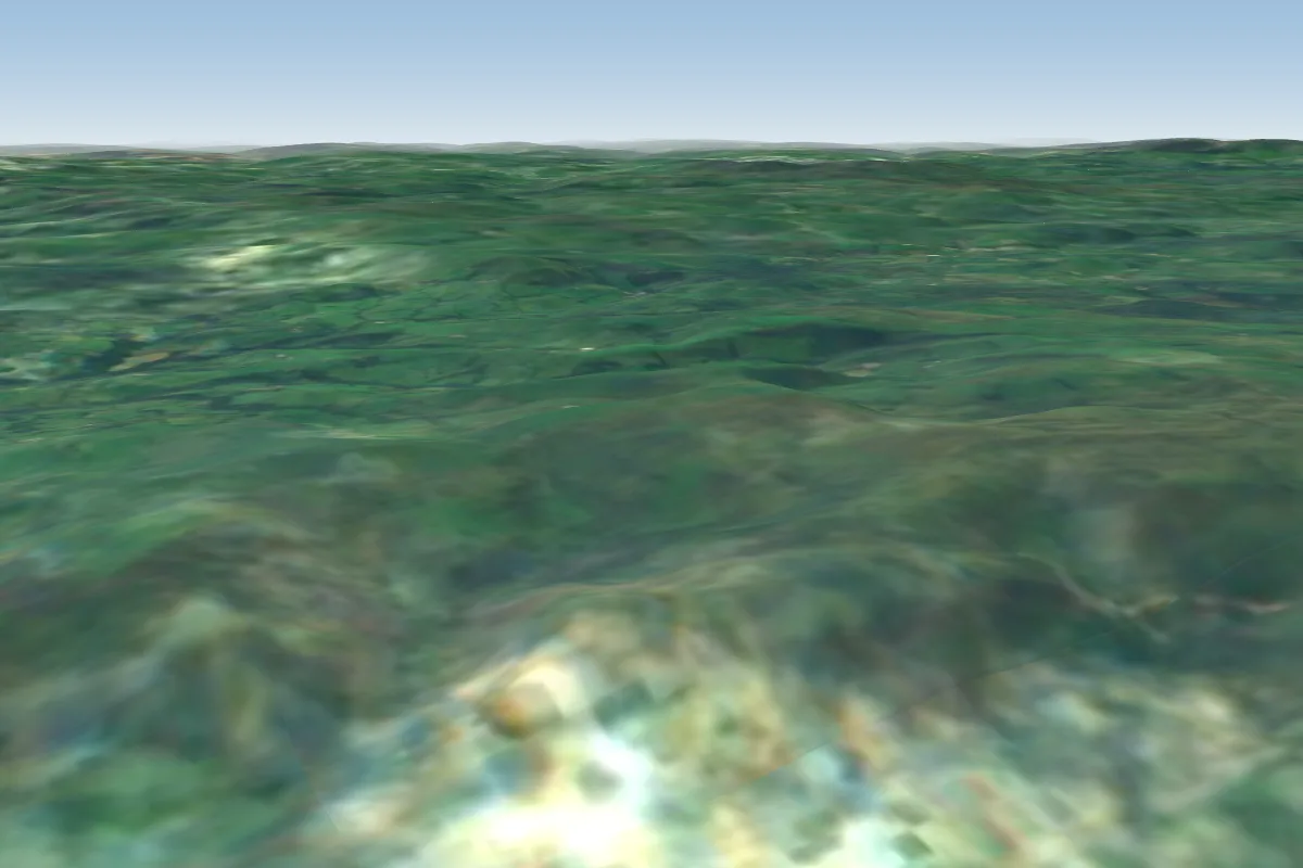 Llandinam51 km NE · Faces W–NWWorks in other winds
 Foel51 km E · Faces SWWorks in other winds
No notes yet. Flown Llanddewi Brefi? Tell the next pilot what to expect.
Takeoff, landing, rules, the hour by hour forecast and live wind are in the site details on the map.
Open site details