Monksdown
North-facing ridge site · 258 m takeoff
Overview
Monksdown is a flatland site in UK with a recorded launch elevation of 258 m. It works best in northerly winds, and can also work in north-westerly winds. Pilots fly it for ridge soaring and thermal, using foot launch.
- Parking There is a stile in the fence line at the site entrance. Do not block access to others by parking in front of the stile. Park as tight as possible to the fence on the grass verge. Source: ParaglidingEarth
When to go
Flyable days per month in a typical year.
Flyable days for Monksdown are on the way. We are scoring ten years of weather for every site, month by month, against this site, its region and the sites around it.
Local weather notes
- The site has been known to be turbulent on strong Northerly days owing to the ridge out in front. There is also a possibility of rotor from the Winklebury ridge when the wind is off to the east, particularly to the east side of the ridge. Source: ParaglidingEarth
Getting there
Nearest airports
- BOH Bournemouth Airport29 km
- SOU Southampton Airport51 km
- BRS Bristol Airport62 km
Where to stay
The nearest towns, for a bed, food and a lift to takeoff.
- Shaftesbury8 km awayBooking.comAirbnb
- Gillingham15 km awayBooking.comAirbnb
- Blandford Forum16 km awayBooking.comAirbnb
Things to do
For the days the wind is wrong: places worth a visit within 10 km of Monksdown.
 Rotherley DownsOutdoors · 1.3 km awayProtected area in Wiltshire, England
 Winklebury HillOutdoors · 1.5 km awayProtected area in Wiltshire, England
 Win Green DownOutdoors · 1.5 km awayHill in Wiltshire
 Winkelbury CampCulture · 1.5 km awayArchaeological site in Berwick St John, Wiltshire, England
- Rotherley Down SettlementCulture · 1.6 km awayEnglish archaeological site
 Pincombe DownOutdoors · 2.8 km awayProtected area in Wiltshire, England
 King John's House, Tollard RoyalCulture · 3.1 km awayHistoric house in Wiltshire, England
 Woodcutts SettlementCulture · 3.5 km awayArchaeological site of the late Iron Age period
Flying nearby
See them on the map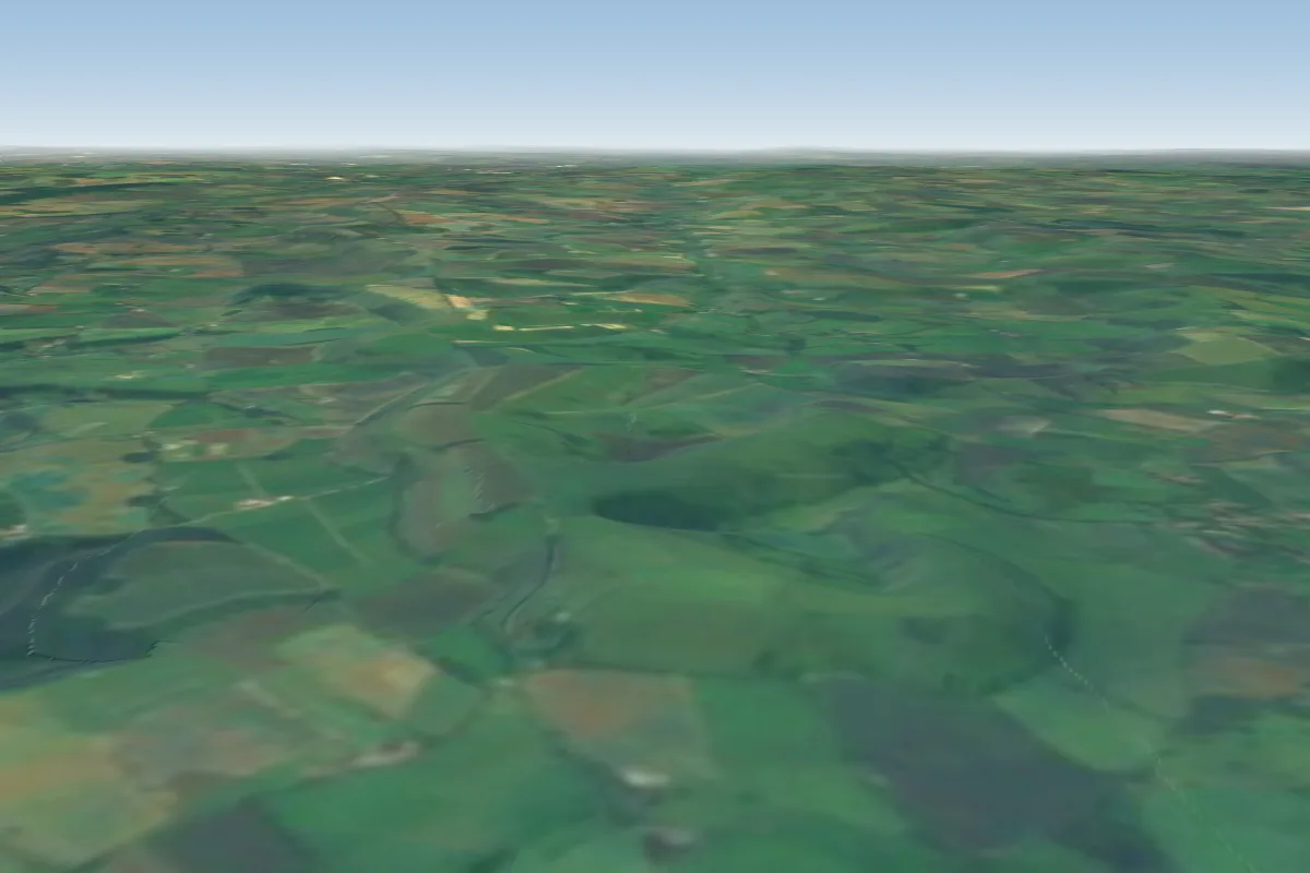 Whitesheet3 km N · Faces WWorks in other winds
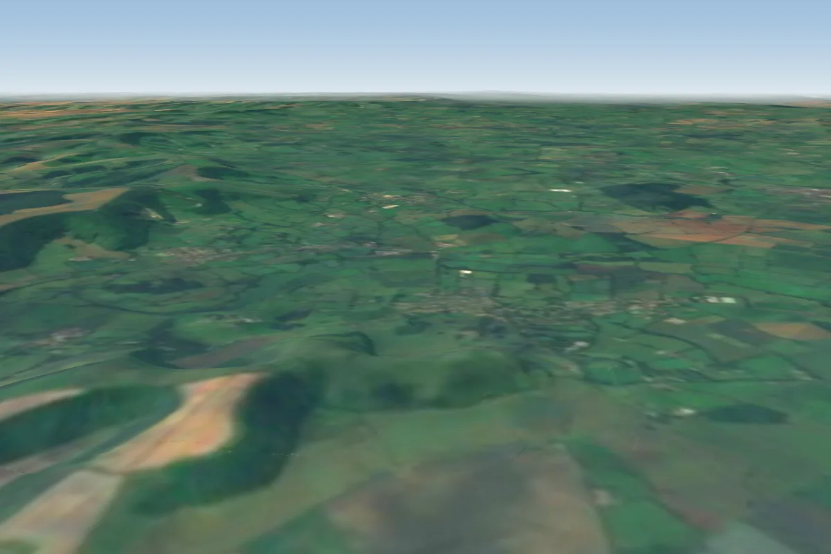 Hambledon Hill12 km SW · Faces EWorks in other winds
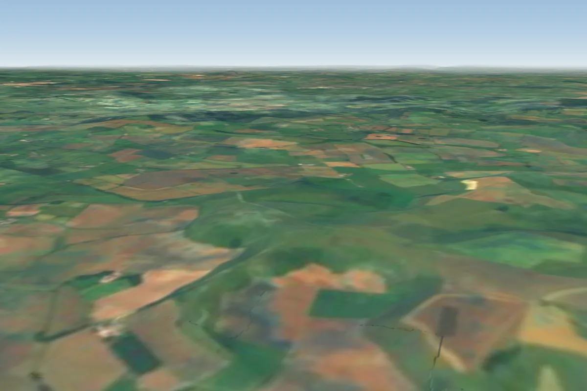 Rifle Range19 km NW · Faces SE–SWorks in other winds
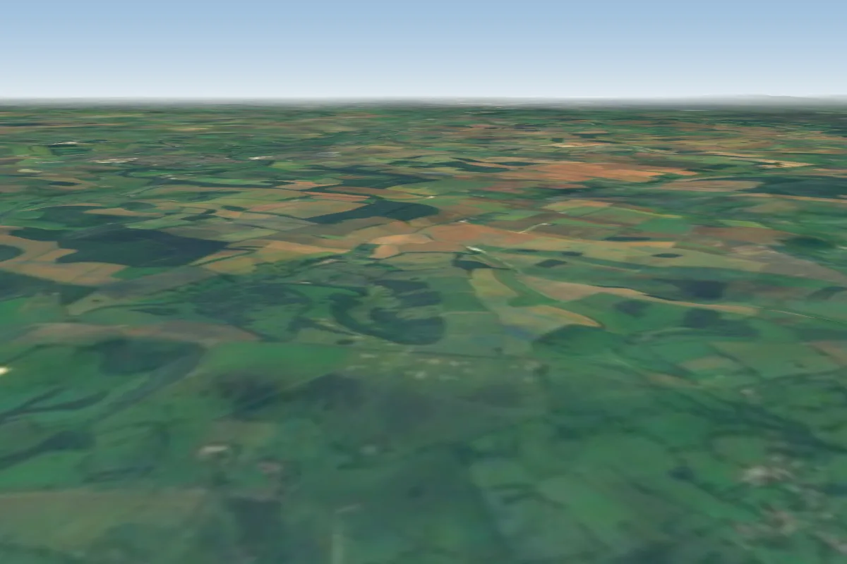 Bell Hill19 km SW · Faces NW
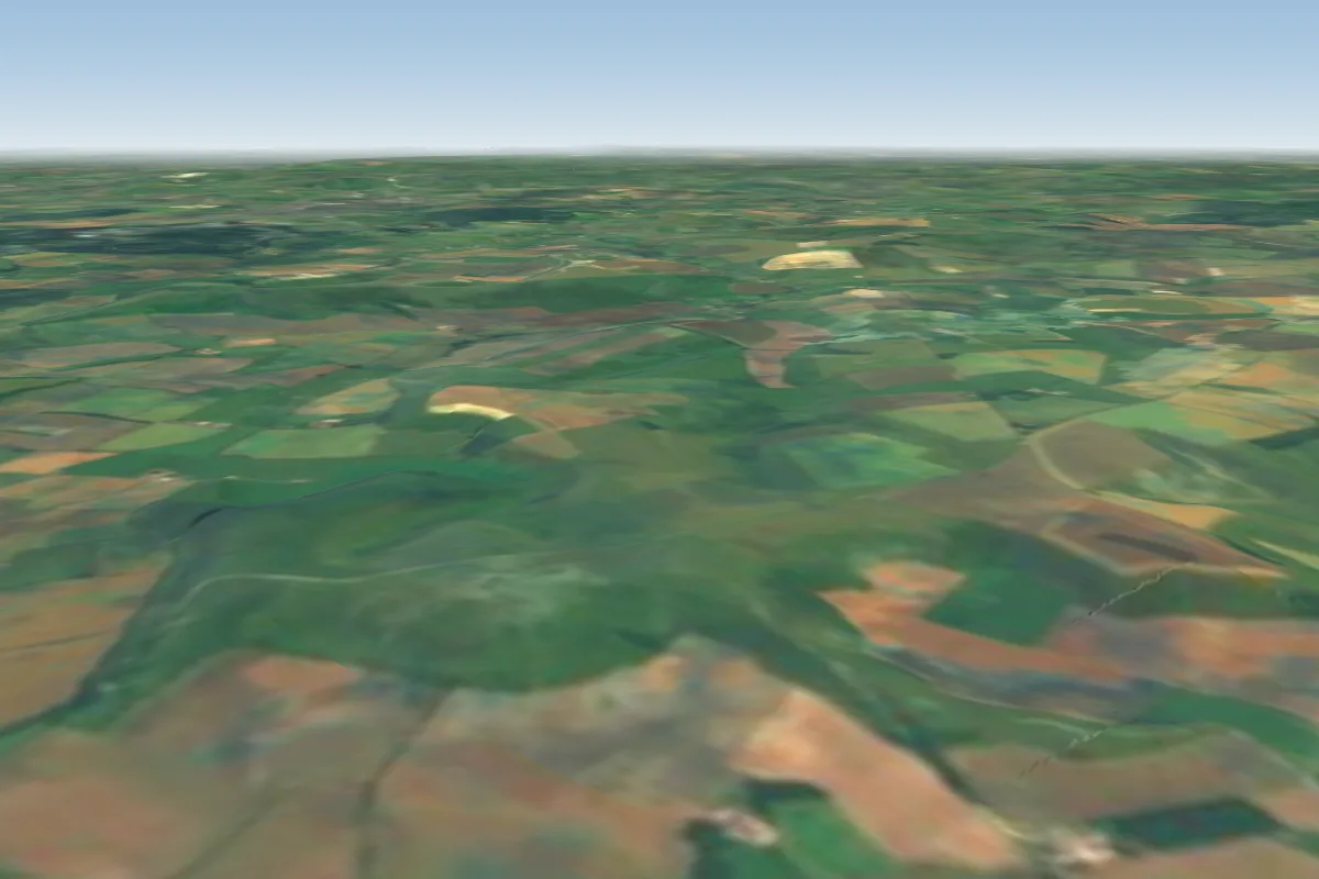 Coward's bowl19 km NW · Faces S–SWWorks in other winds
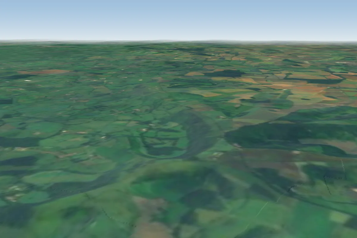 Bulbarrow22 km SW · Faces SWWorks in other winds
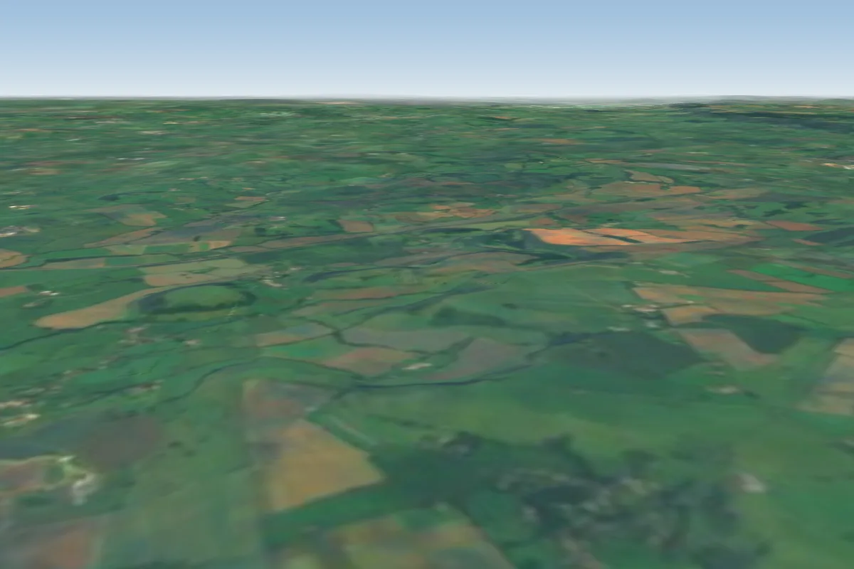 Corton Denham31 km W · Faces SWWorks in other winds
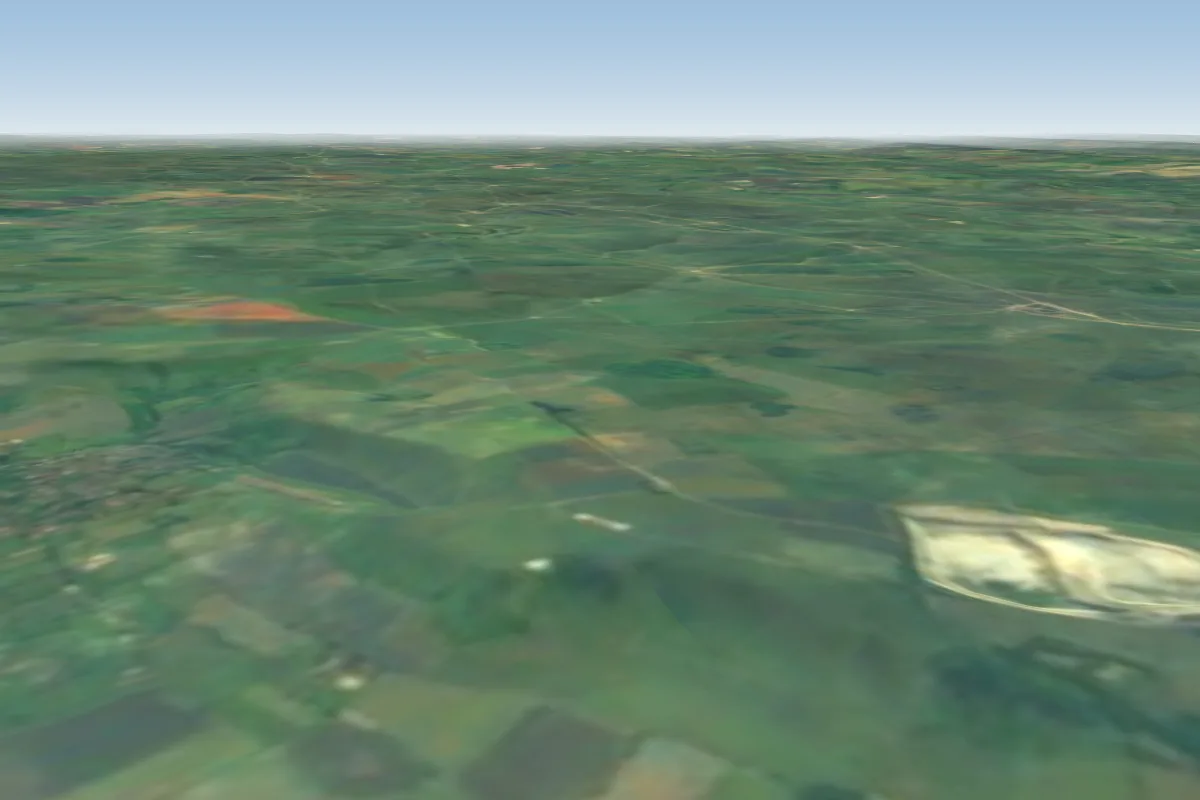 Westbury White Horse31 km N · Faces NW
Pilot notes
No notes yet. Flown Monksdown? Tell the next pilot what to expect.
Pilot notes on Monksdown
Flying Monksdown?
Takeoff, landing, rules, the hour by hour forecast and live wind are in the site details on the map.
Open site detailsSources
- ParaglidingEarth site record © ParaglidingEarth contributors (CC BY-SA)