Snowdonia Sky Sports
Manages the site
N to NE facing ridge site · 176 m takeoff · 171 m height gain
Penmaenbach is a hill site in Snowdonia / northern Eryri with a recorded launch elevation of 176 m. It works best in northerly and north-easterly winds. Pilots fly it for ridge soaring, using foot launch. It is recorded as suitable for cross-country flights.
Flyable days per month in a typical year.
Flyable days for Penmaenbach are on the way. We are scoring ten years of weather for every site, month by month, against this site, its region and the sites around it.
The nearest towns, for a bed, food and a lift to takeoff.
For the days the wind is wrong: places worth a visit within 10 km of Penmaenbach.
 Conwy MountainOutdoors · 1 km awayHill (244m) in Conwy, Wales
 Sychnant PassOutdoors · 1.1 km awayMountain pass in North Wales
 Morfa ConwyOutdoors · 2.1 km awayBeach landform and suburb of Conwy, north Wales
 Albion Ale HouseCulture · 3.1 km awayHistoric site in Conwy, Wales
 Aberconwy AbbeyCulture · 3.2 km awayAbbey in north Wales
 Castle Hotel, ConwyCulture · 3.2 km awayHistoric site in Conwy, Wales
 St Mary and All Saints' Church, ConwyCulture · 3.2 km awayChurch in Conwy, Wales
 Aberconwy HouseCulture · 3.2 km awayHistoric house in Conwy, Wales
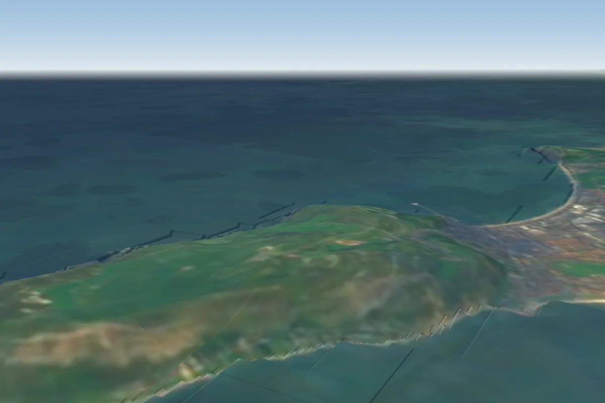 Great Orme5 km N · Faces SWWorks in other winds
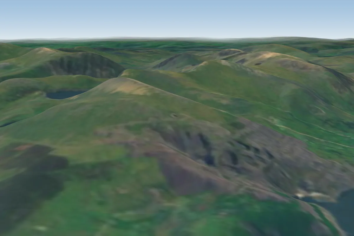 Elidir Fach23 km SW · Faces W–NWPossible XC from here on a NE day, 23 km downwindWorks in other winds
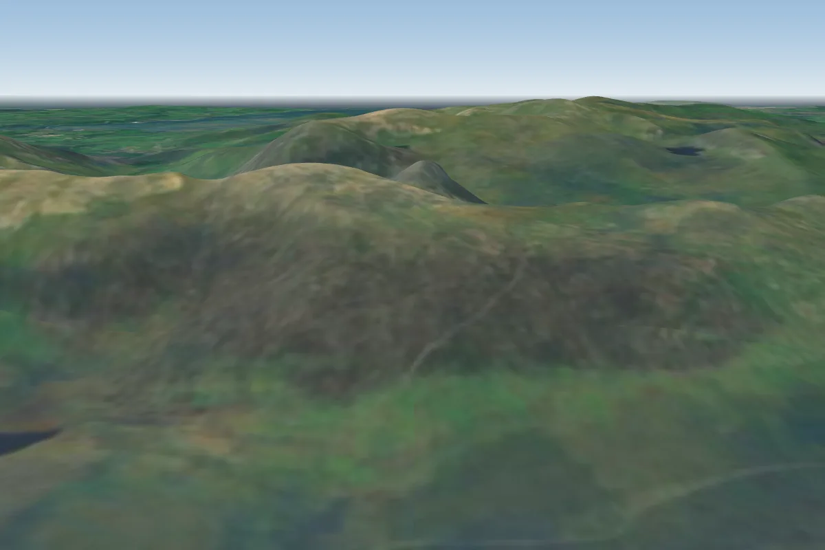 Glyderau23 km S · Faces SPossible XC from here on a N day, 23 km downwindWorks in other winds
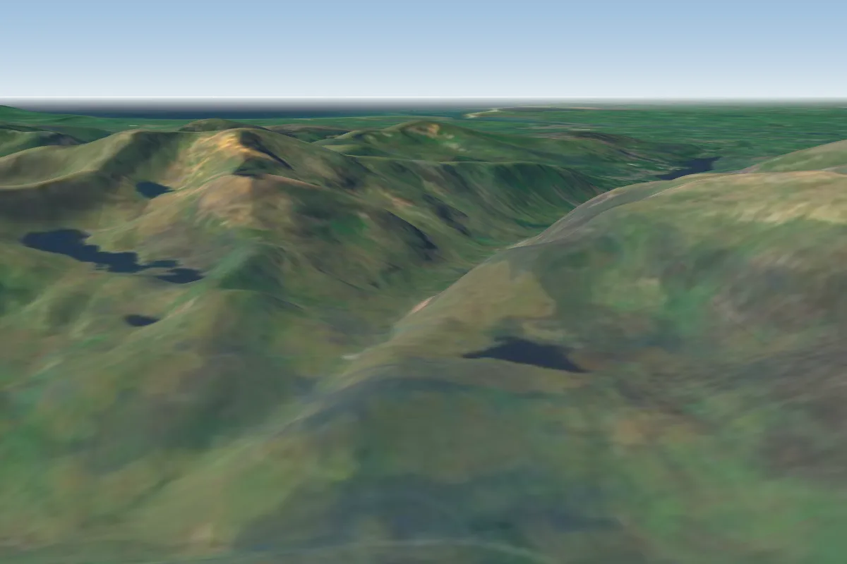 Moel Berfedd24 km S · Faces EPossible XC from here on a N day, 24 km downwindWorks in other winds
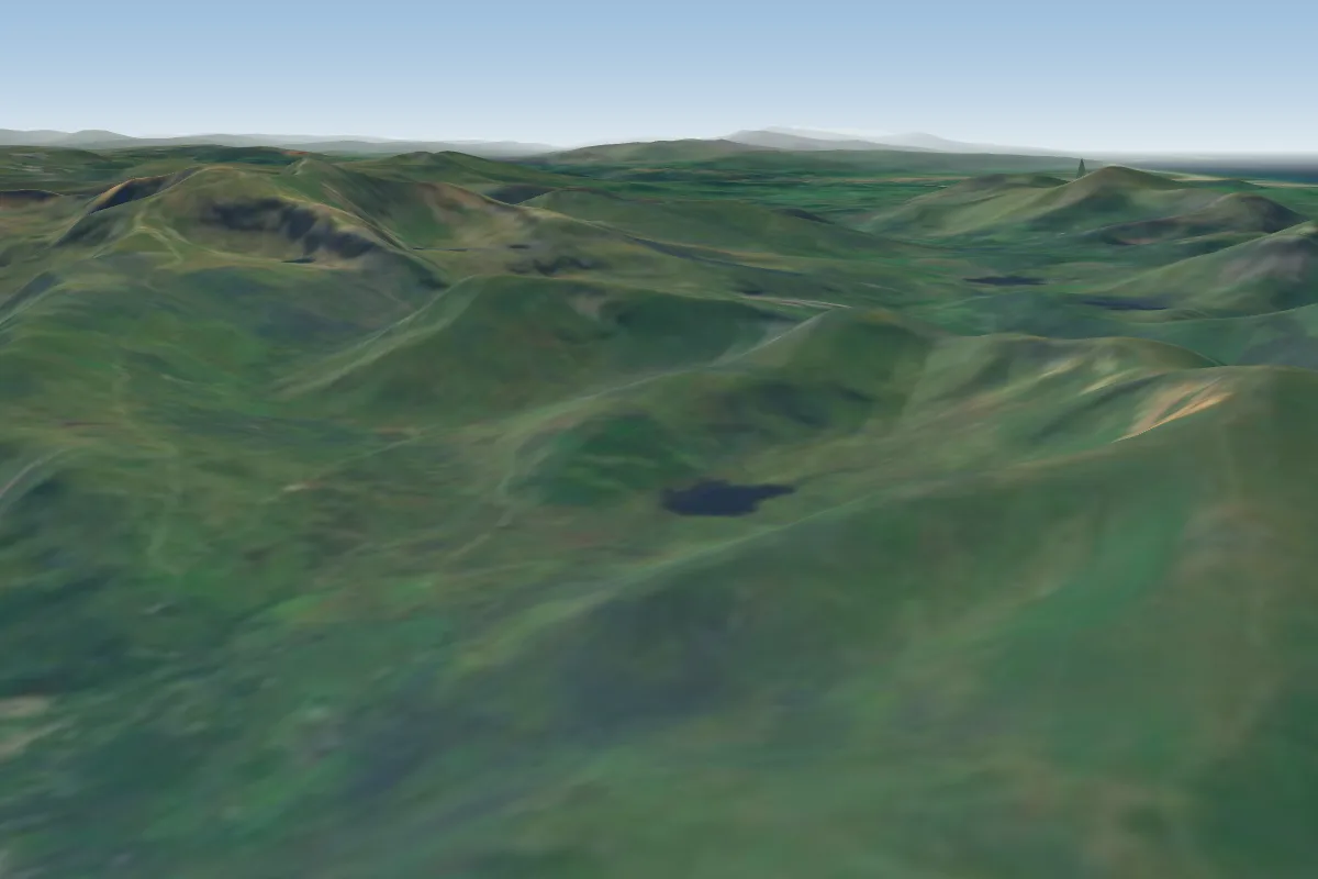 Moel Eilio26 km SW · Faces NWPossible XC from here on a NE day, 26 km downwindWorks in other winds
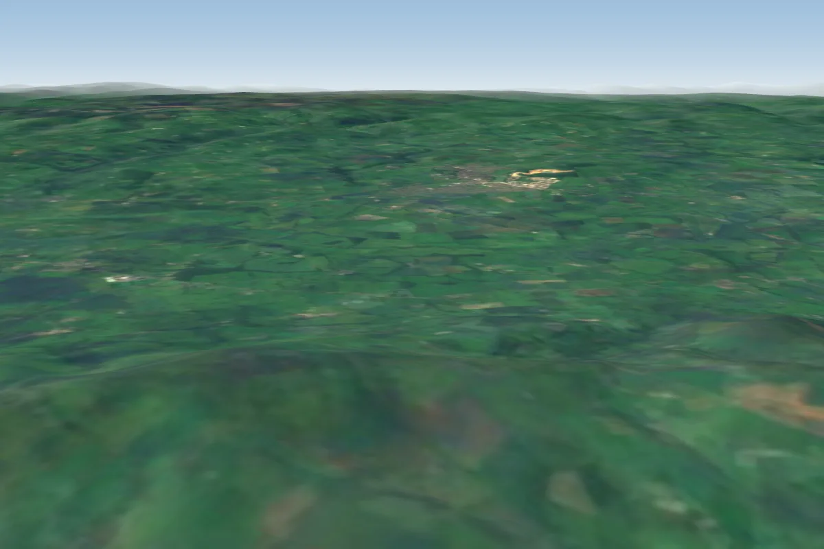 Penycloddiau East39 km E · Faces EWorks in other winds
 Tremadog42 km SW · Faces SWPossible XC from here on a NE day, 42 km downwindWorks in other winds
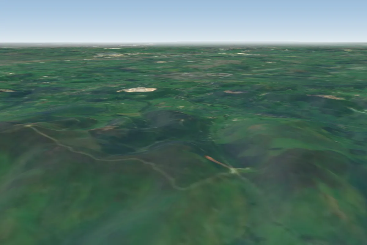 Moel Famau44 km E · Faces WWorks in other winds
No notes yet. Flown Penmaenbach? Tell the next pilot what to expect.
Takeoff, landing, rules, the hour by hour forecast and live wind are in the site details on the map.
Open site details