Snowdonia Sky Sports
Manages the site
South-west-facing site · 180 m takeoff
Tremadog is a flying site in Snowdonia / northern Eryri with a recorded launch elevation of 180 m. It works best in south-westerly winds.
Manages the site
Flyable days per month in a typical year.
Flyable days for Tremadog are on the way. We are scoring ten years of weather for every site, month by month, against this site, its region and the sites around it.
The nearest towns, for a bed, food and a lift to takeoff.
For the days the wind is wrong: places worth a visit within 10 km of Tremadog.
 Capel PenielCulture · 1.2 km awayChapel in Tremadog, Gwynedd, Wales
 St Beuno's Church, PenmorfaCulture · 1.5 km awayChurch in Gwynedd, Wales
 St Cynhaearn's Church, YnyscynhaearnCulture · 3.6 km awayChurch in Gwynedd, Wales
 Ynys GifftanOutdoors · 5.9 km awayTidal island near Talsarnau, Wales
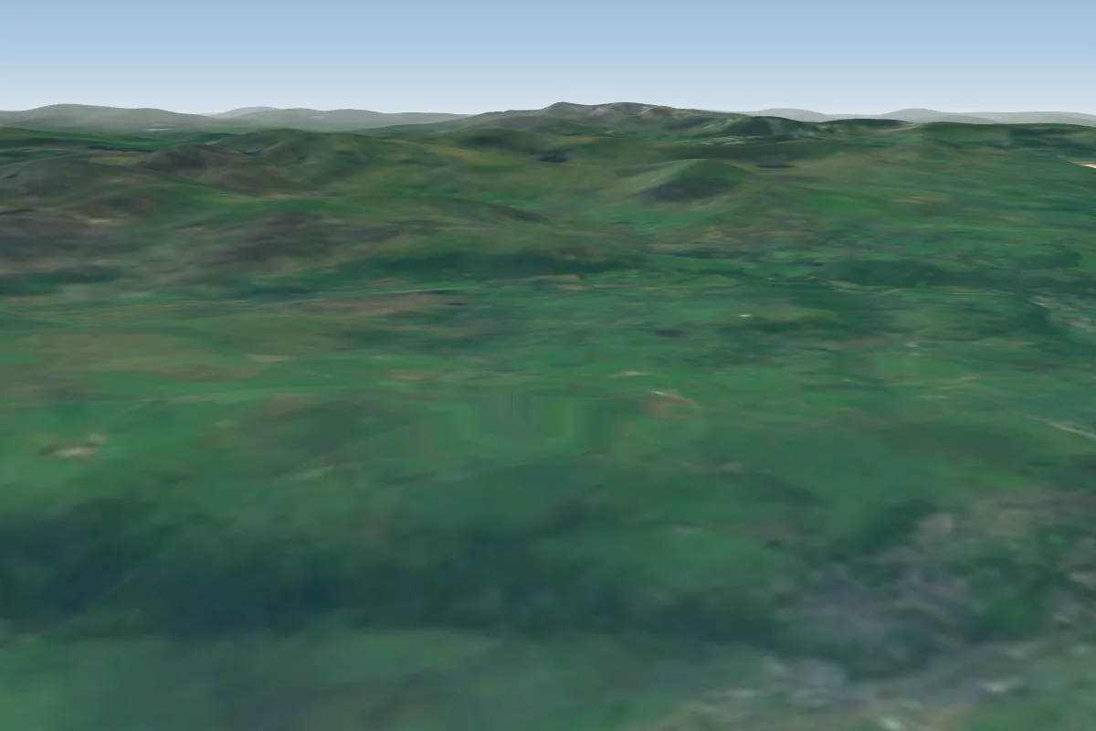 Harlech10 km S · Faces NWWorks in other winds
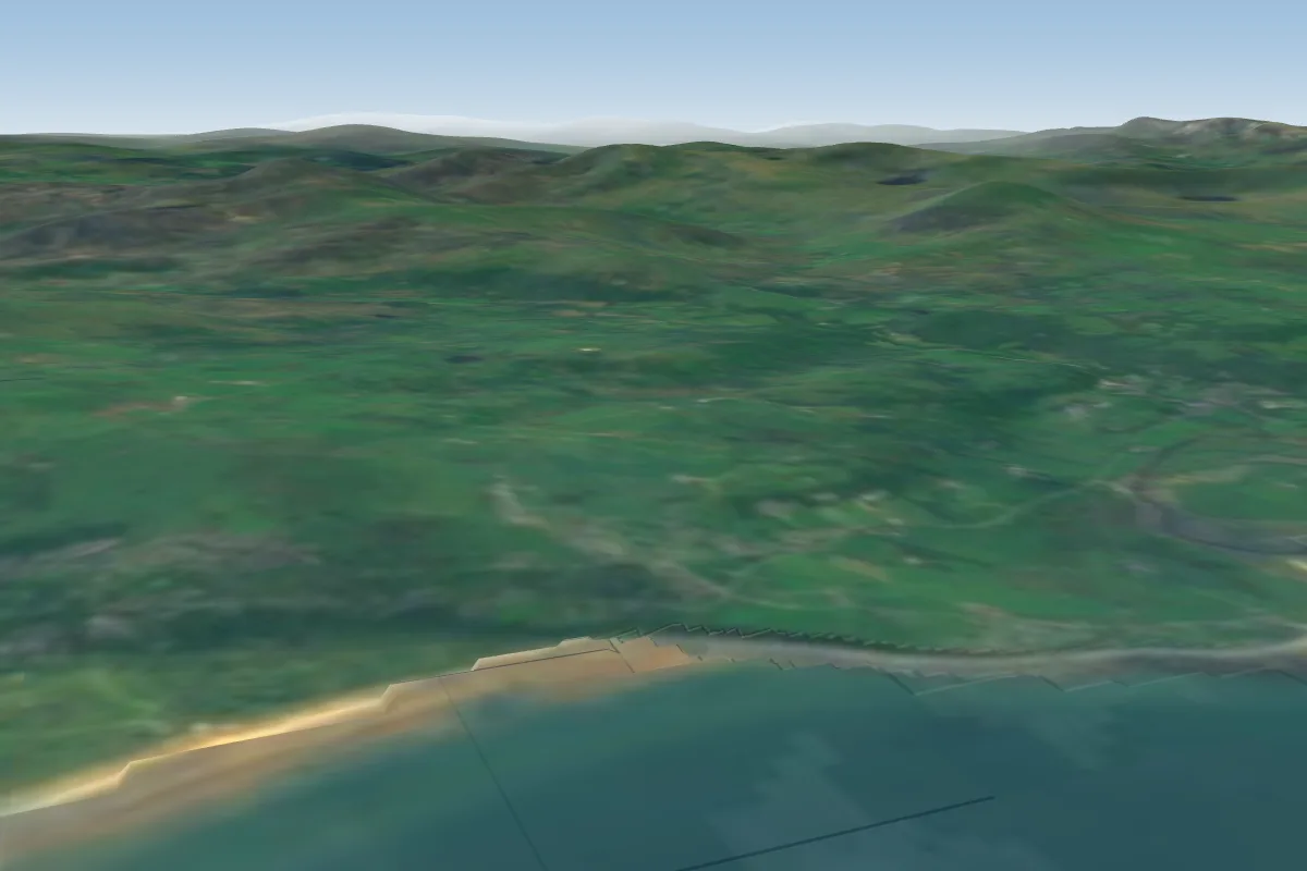 Harlech cliff11 km S · Faces NWWorks in other winds
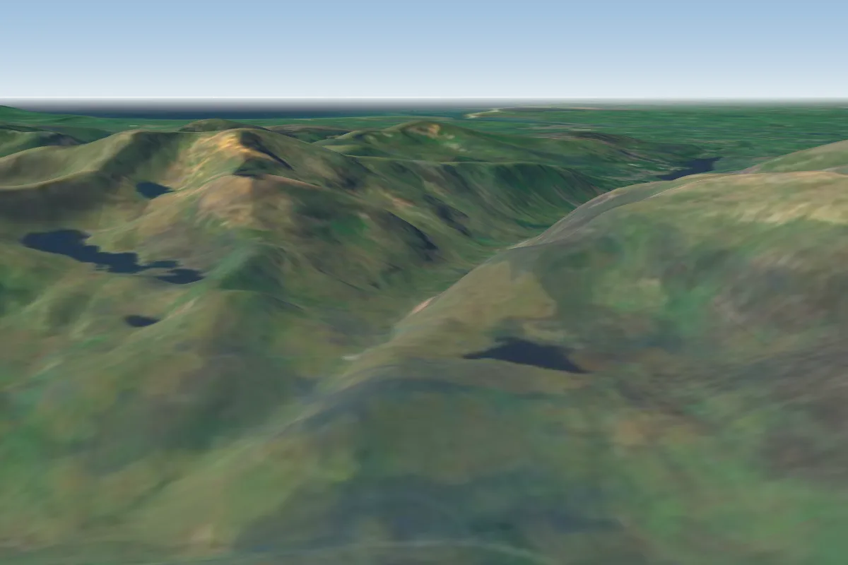 Moel Berfedd18 km NE · Faces EPossible XC from here on a SW day, 18 km downwindWorks in other winds
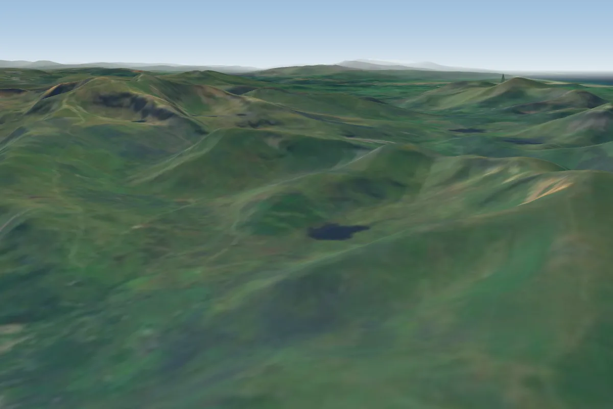 Moel Eilio18 km N · Faces NWWorks in other winds
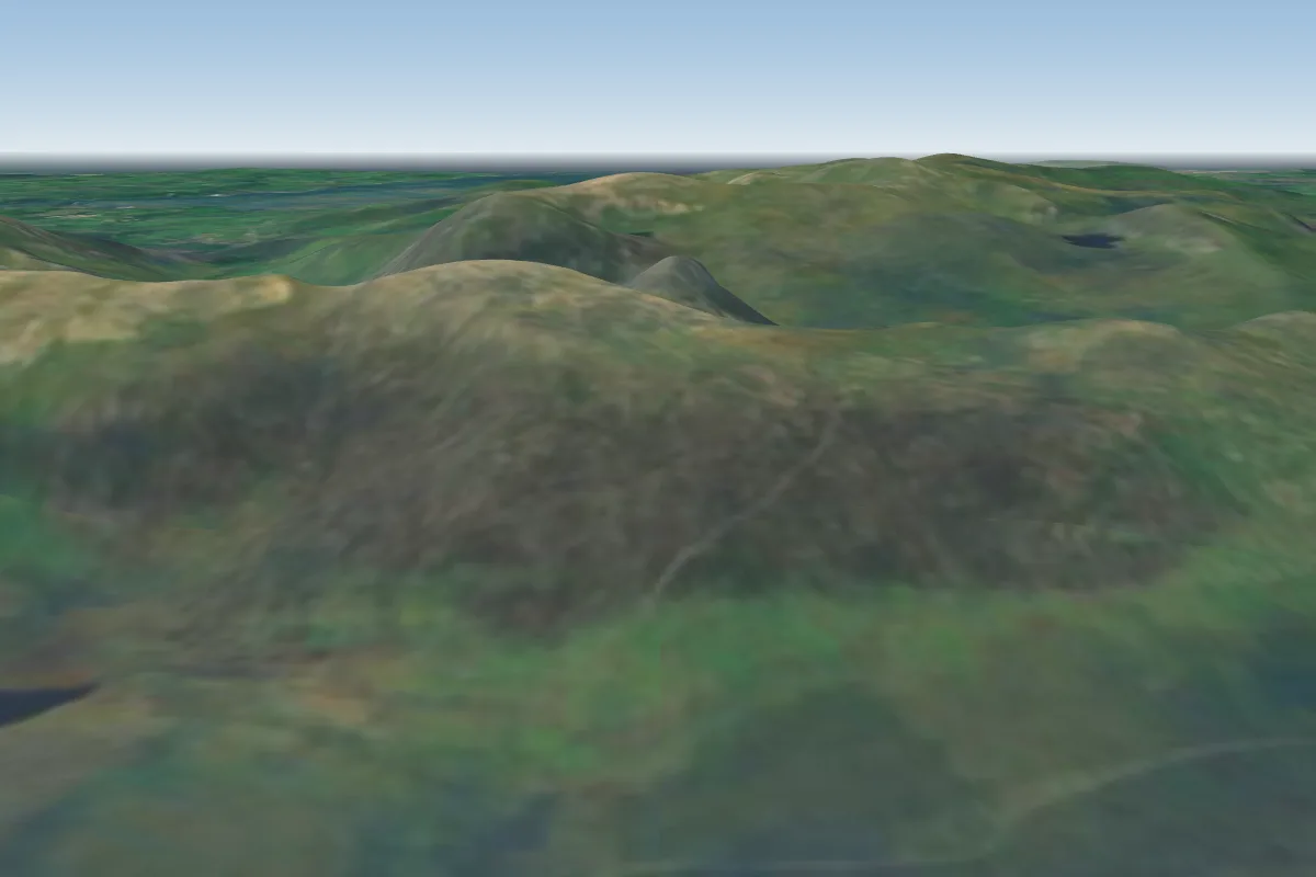 Glyderau19 km NE · Faces SPossible XC from here on a SW day, 19 km downwindWorks in other winds
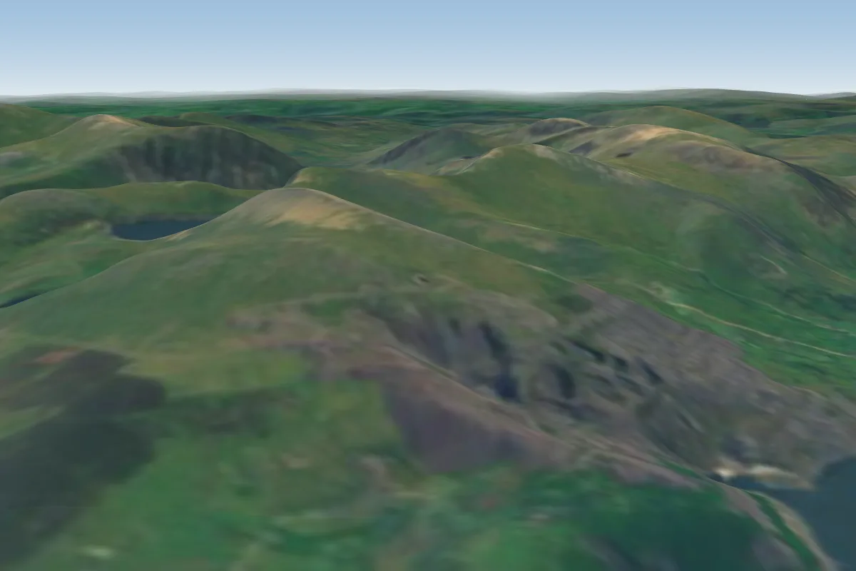 Elidir Fach21 km N · Faces W–NWWorks in other winds
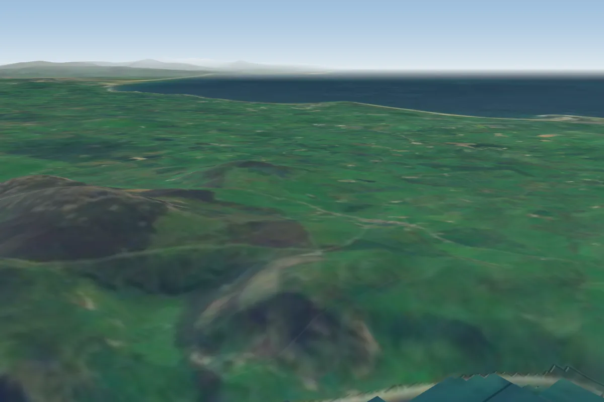 Nant Gwrtheryrn21 km W · Faces W–NWWorks in other winds
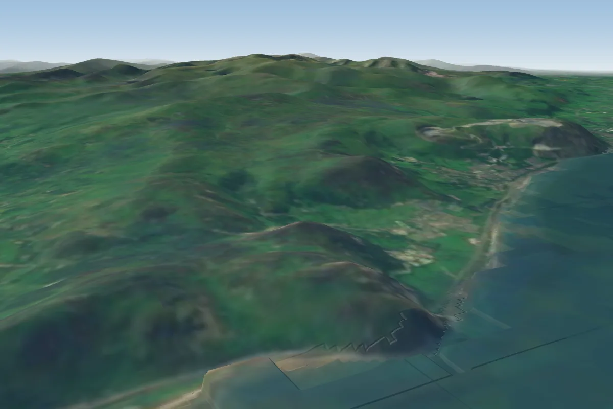 Penmaenbach42 km NE · Faces N–NEPossible XC from here on a SW day, 42 km downwindWorks in other winds
No notes yet. Flown Tremadog? Tell the next pilot what to expect.
Takeoff, landing, rules, the hour by hour forecast and live wind are in the site details on the map.
Open site details