Avon Hang Gliding and Paragliding Club
Manages the site
North-east-facing site · 185 m takeoff
Ubley is a flying site in Bristol / Mendips / Cotswolds with a recorded launch elevation of 185 m. It works best in north-easterly winds.
Manages the site
Flyable days per month in a typical year.
Flyable days for Ubley are on the way. We are scoring ten years of weather for every site, month by month, against this site, its region and the sites around it.
For the days the wind is wrong: places worth a visit within 10 km of Ubley.
 Church of St Bartholomew, UbleyCulture · 1 km awayChurch in Somerset, England
 Compton Martin Ochre MineOutdoors · 1.4 km awayProtected area in Somerset, England
 Church of St Michael the Archangel, Compton MartinCulture · 1.4 km awayAnglican church in Somerset, England
 Upper Flood SwalletOutdoors · 2.9 km awayLimestone cave in Somerset, England
 Blagdon LakeOutdoors · 3 km awayLake in the United Kingdom
 Church of St Mary, West HarptreeCulture · 3 km awayChurch in Somerset, England
 Church of St Mary, Nempnett ThrubwellCulture · 3.2 km awayChurch in Somerset, England
 Church of St Andrew, BlagdonCulture · 3.2 km awayChurch in Somerset, England
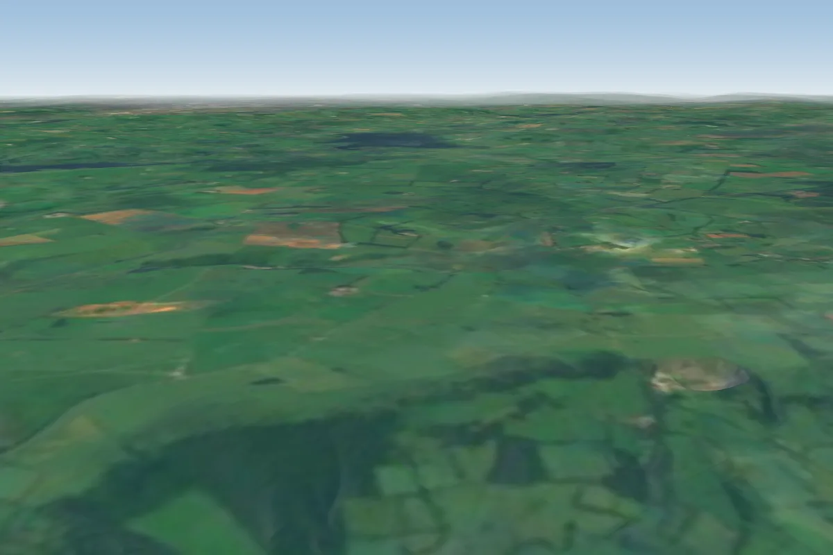 Draycott7 km SW · Faces SWWorks in other winds
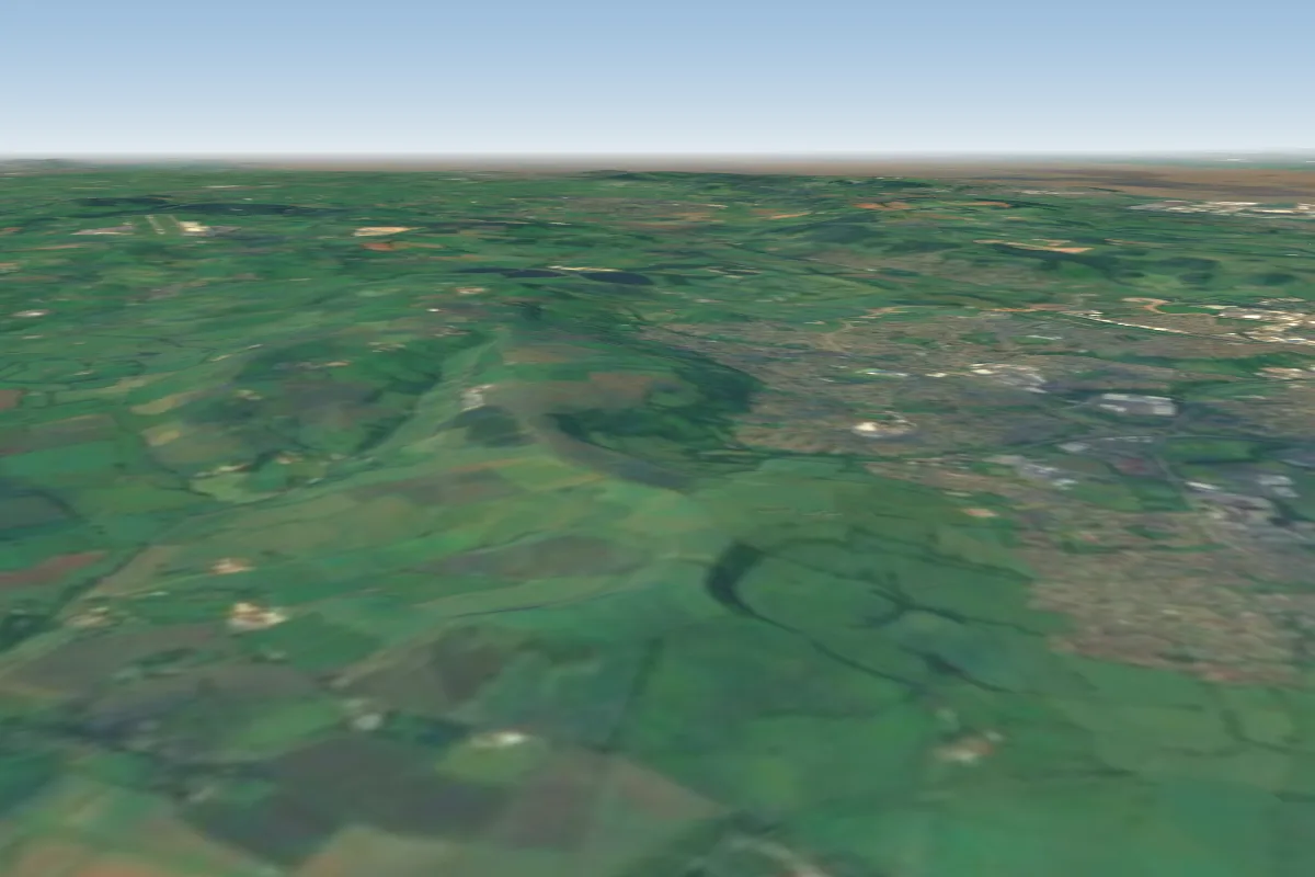 Maes Knoll11 km NE
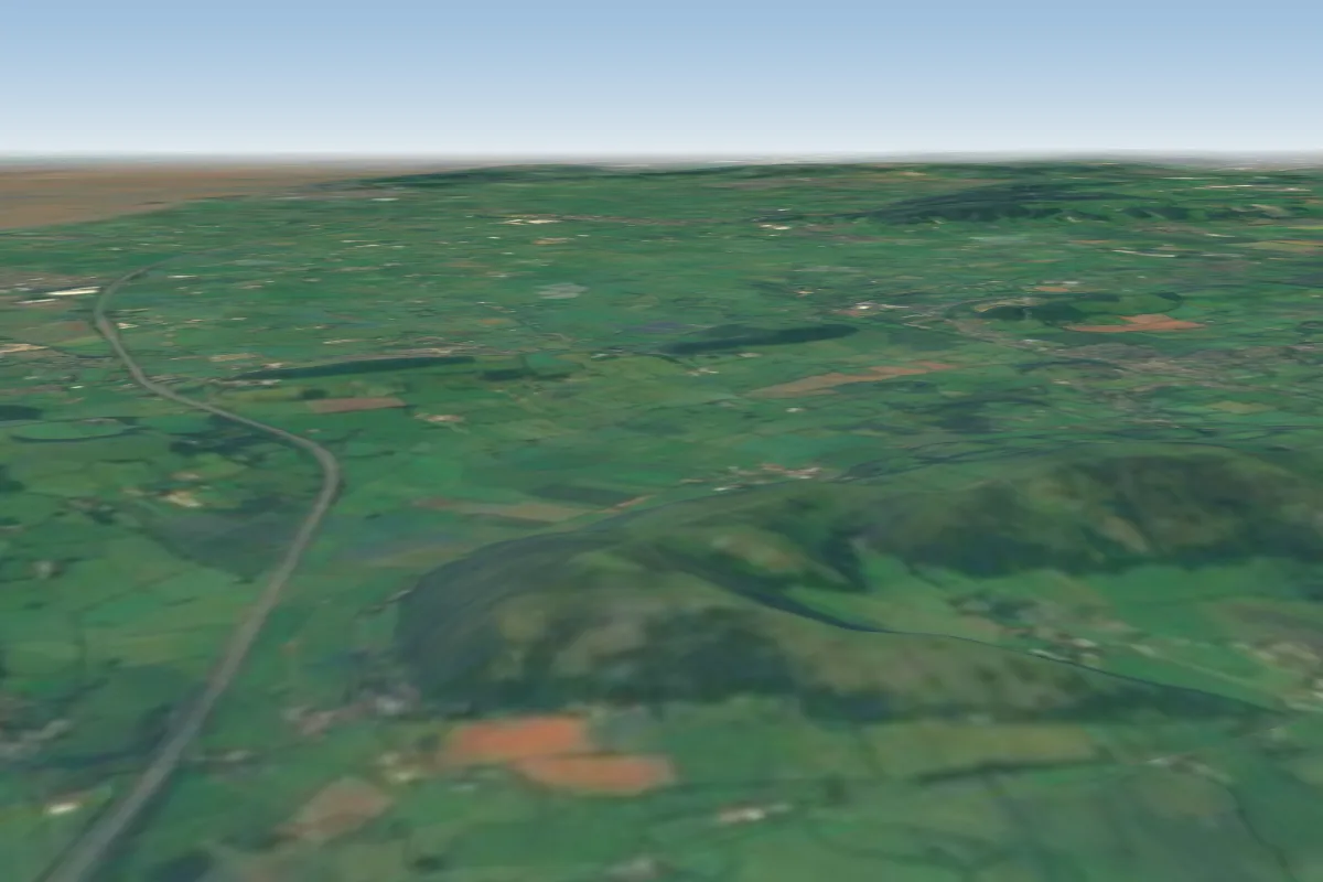 Crook Peak14 km W · Faces SWWorks in other winds
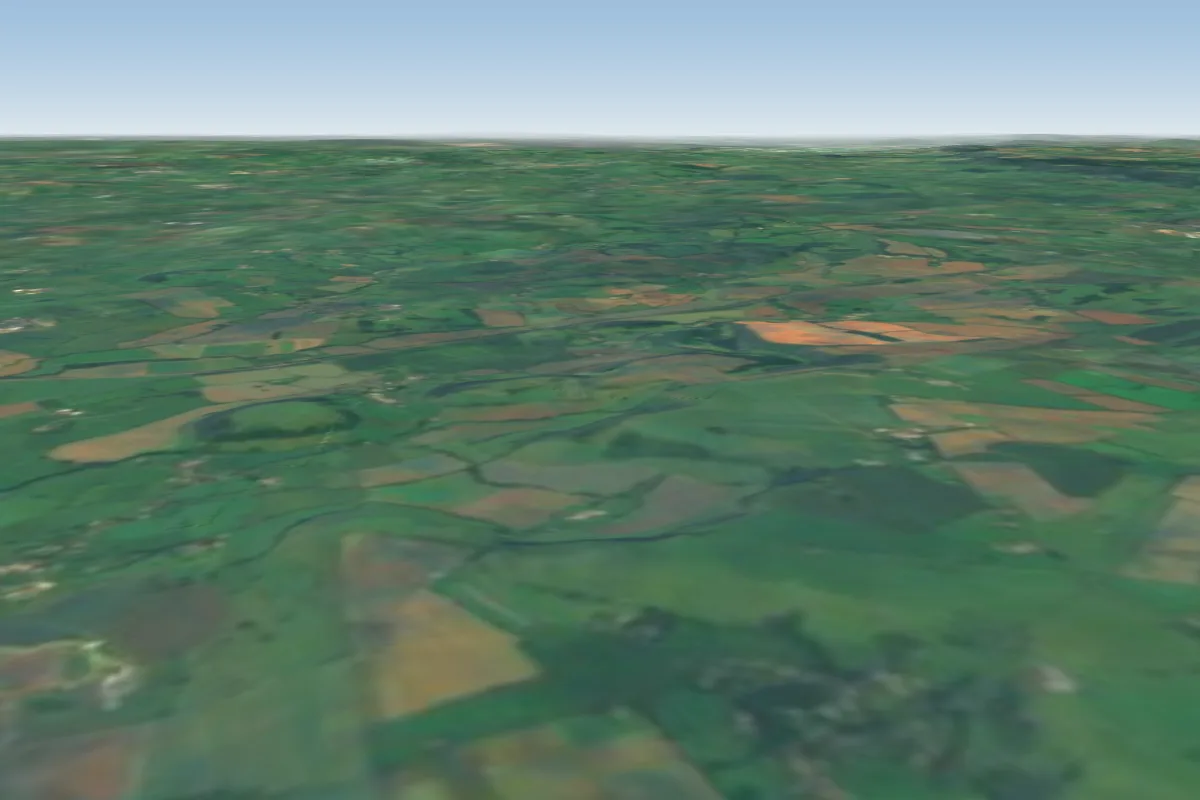 Corton Denham35 km S · Faces SWWorks in other winds
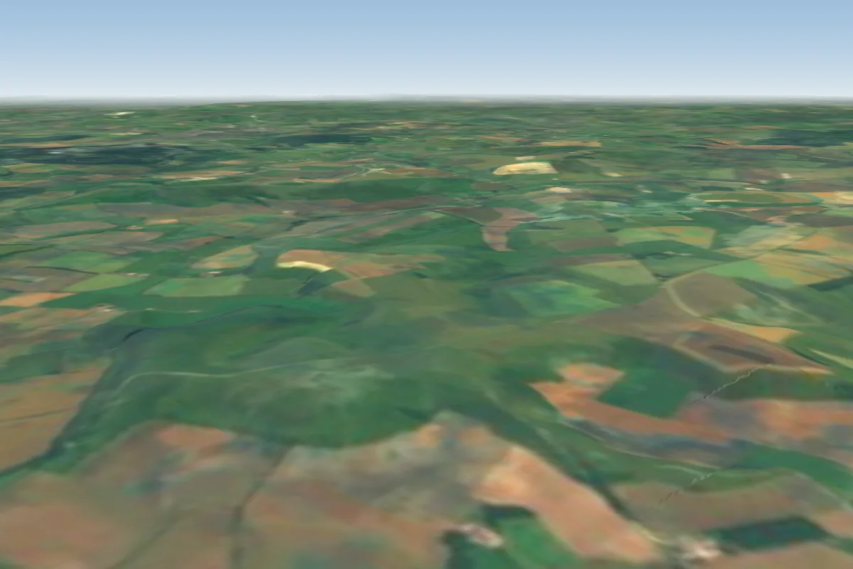 Coward's bowl36 km SE · Faces S–SWWorks in other winds
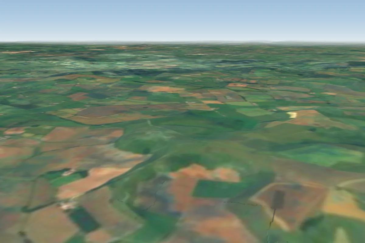 Rifle Range36 km SE · Faces SE–SWorks in other winds
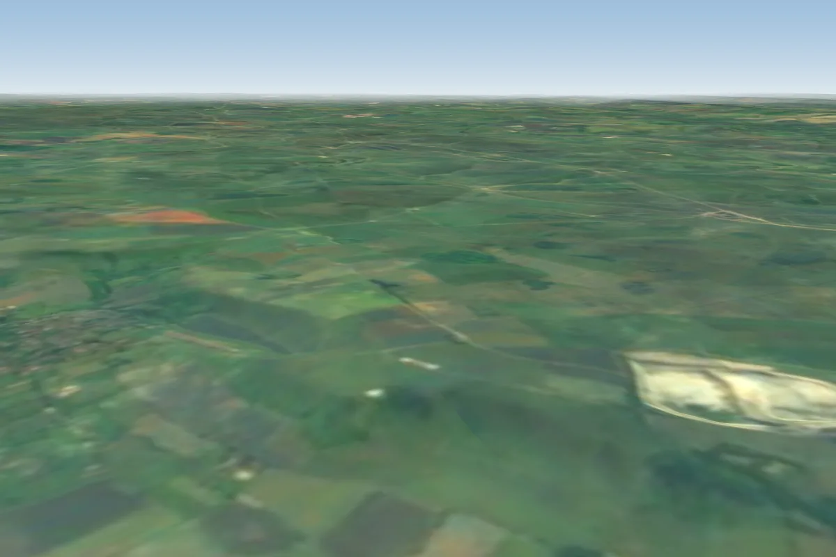 Westbury White Horse37 km E · Faces NWWorks in other winds
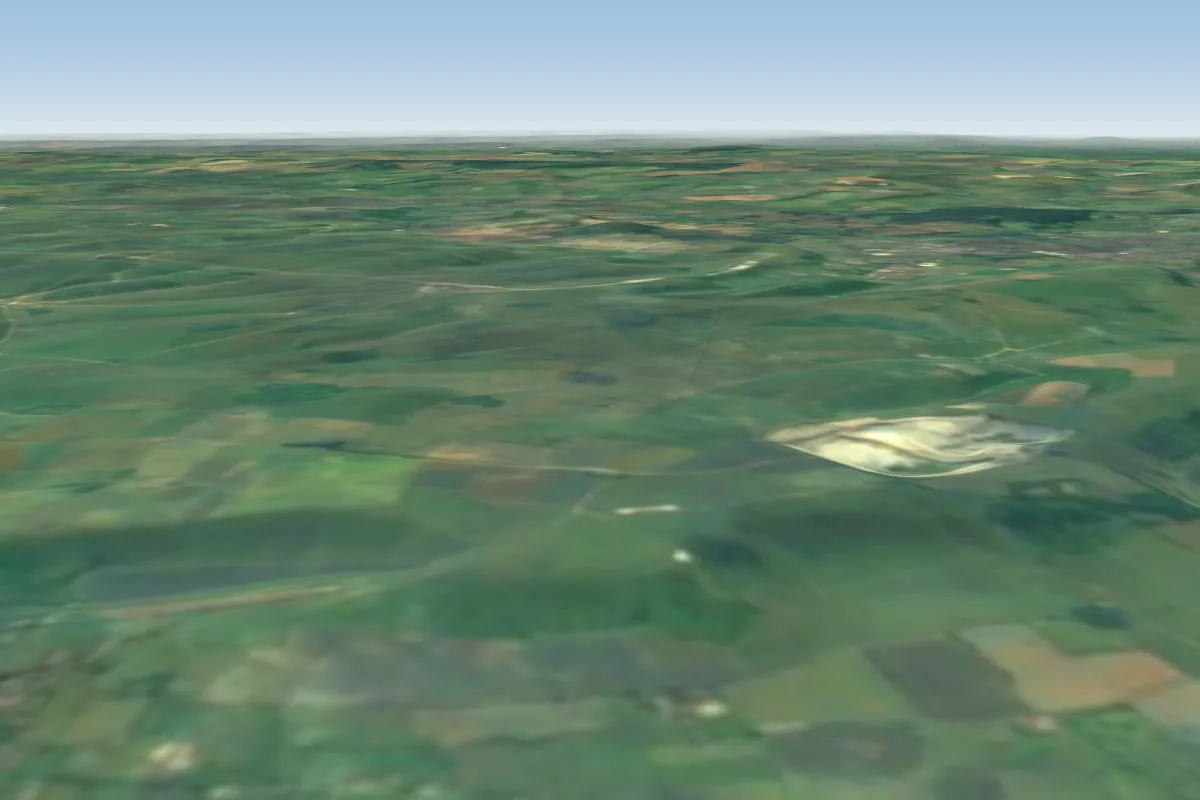 Westbury - Bratton Camp37 km E · Faces NWorks in other winds
No notes yet. Flown Ubley? Tell the next pilot what to expect.
Takeoff, landing, rules, the hour by hour forecast and live wind are in the site details on the map.
Open site details