Brestovica
S to SW facing ridge site · 244 m takeoff · 177 m height gain
Overview
Brestovica is a hill site in the Slovenian Alps with a recorded launch elevation of 244 m. It works best in southerly and south-westerly winds. Pilots fly it for ridge soaring and thermal, using foot launch.
When to go
Flyable days per month in a typical year.
Flyable days for Brestovica are on the way. We are scoring ten years of weather for every site, month by month, against this site, its region and the sites around it.
Getting there
Nearest airports
- TRS Trieste Airport12 km
- LJU Ljubljana Jože Pučnik Airport78 km
- RJK Rijeka Airport100 km
Where to stay
The nearest towns, for a bed, food and a lift to takeoff.
- Sistiana / Sesljan5 km awayBooking.comAirbnb
- Monfalcone7 km awayBooking.comAirbnb
- Aurisina / Nabrežina8 km awayBooking.comAirbnb
Things to do
For the days the wind is wrong: places worth a visit within 10 km of Brestovica.
 Monte ErmadaOutdoors · 2.7 km awayHill in Italy
 Grotta dell'ArtiglieriaOutdoors · 4.4 km awayCave in Italy
 Lago di DoberdòOutdoors · 4.8 km awayLake in Italy
 Rilke trailOutdoors · 5.3 km awayScenic trail in Italy
 Duino CastleCulture · 6.1 km awayFort in Duino, Italy
- Abisso BonettiOutdoors · 3.8 km awayKarst cave in northeastern Italy
Flying nearby
See them on the map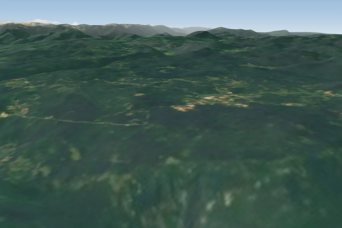 Lijak - Lijac18 km NE · Faces E–WWorks in other winds
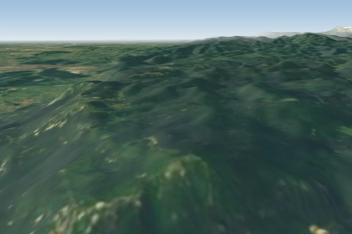 Caven22 km NE · Faces E–SWorks in other winds
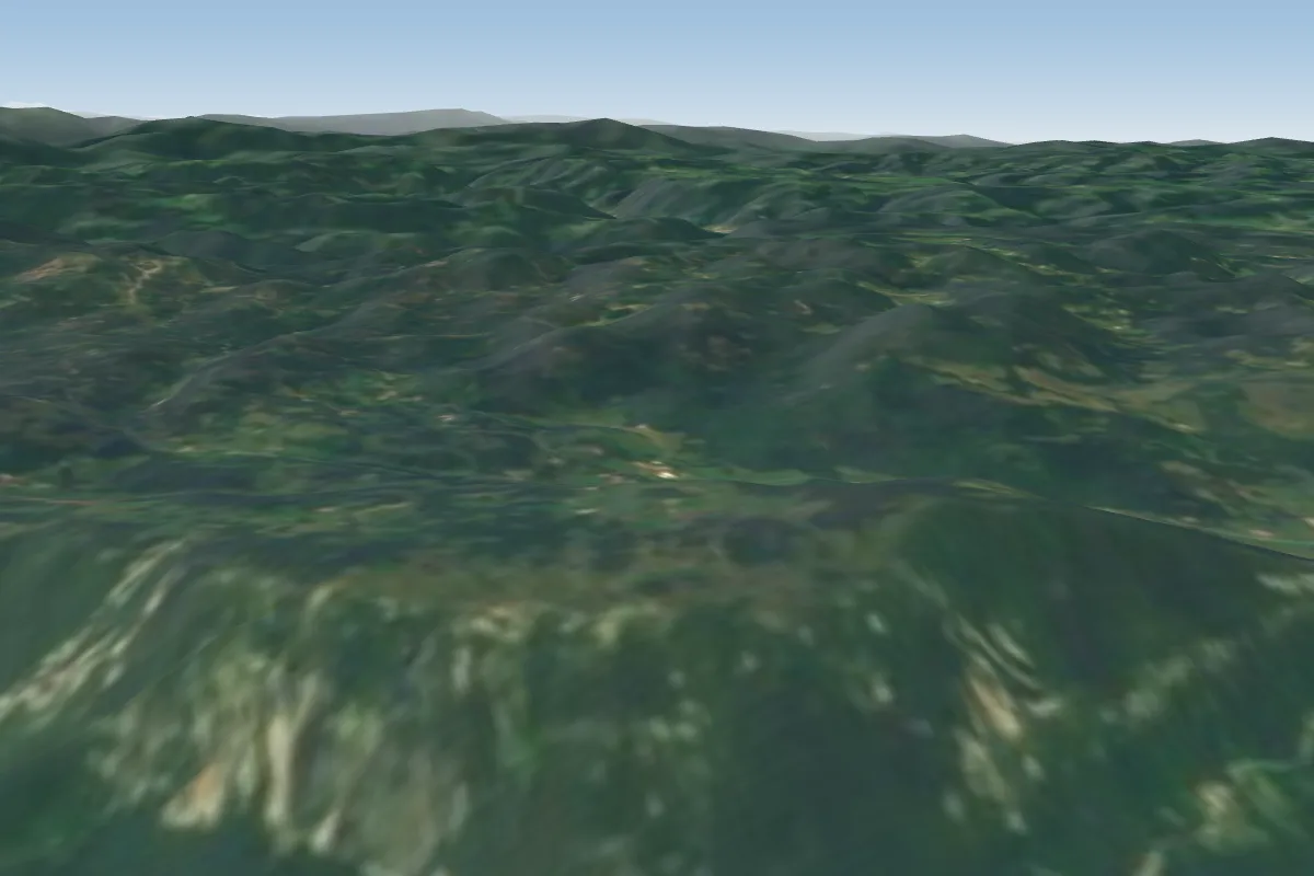 Kovk27 km E · Faces SW
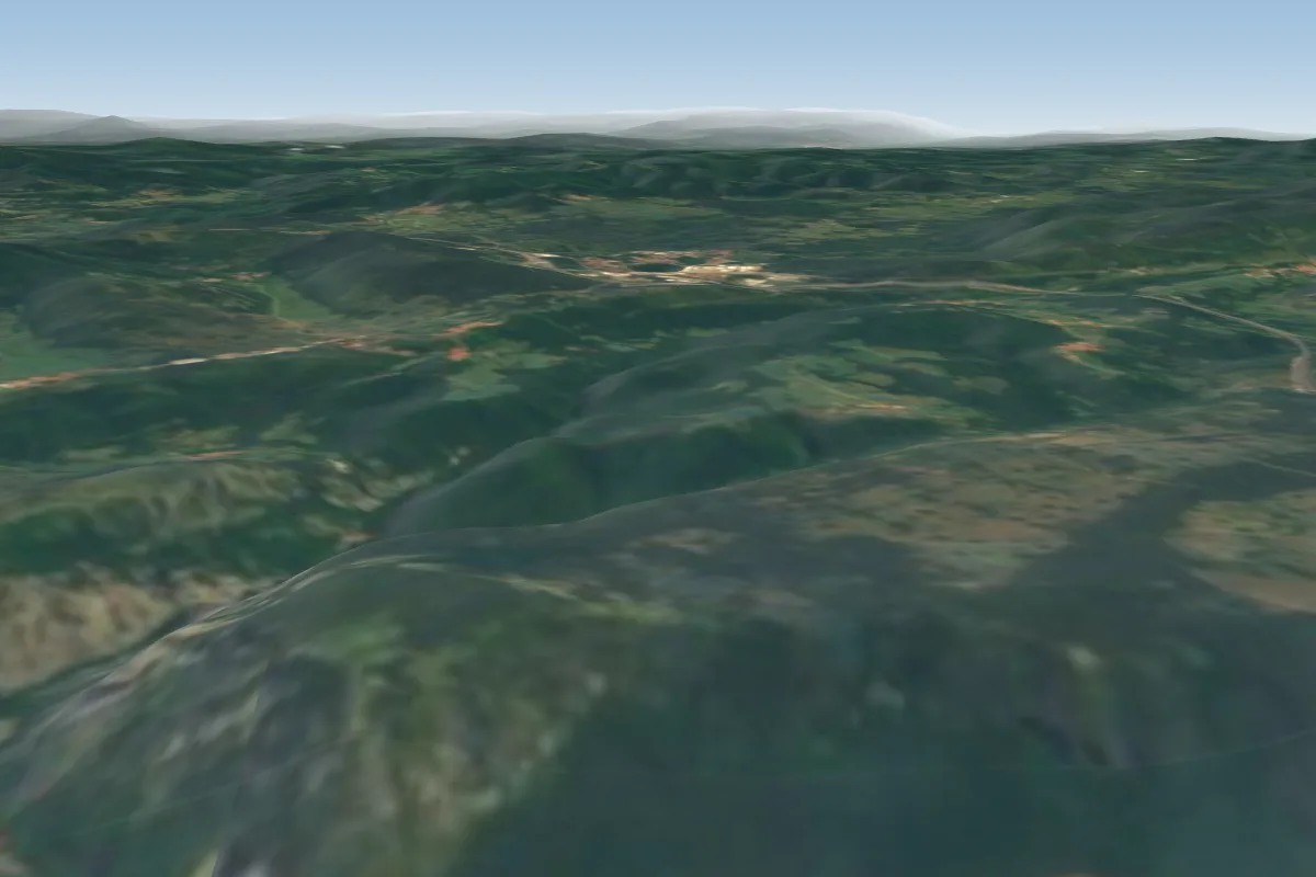 Socerb30 km SE · Faces SW–NWWorks in other winds
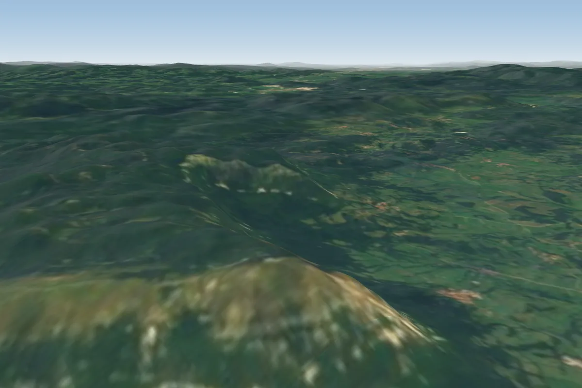 Nanos34 km E · Faces S–SW
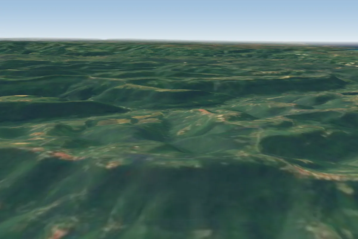 Poljane36 km S · Faces NW–NEWorks in other winds
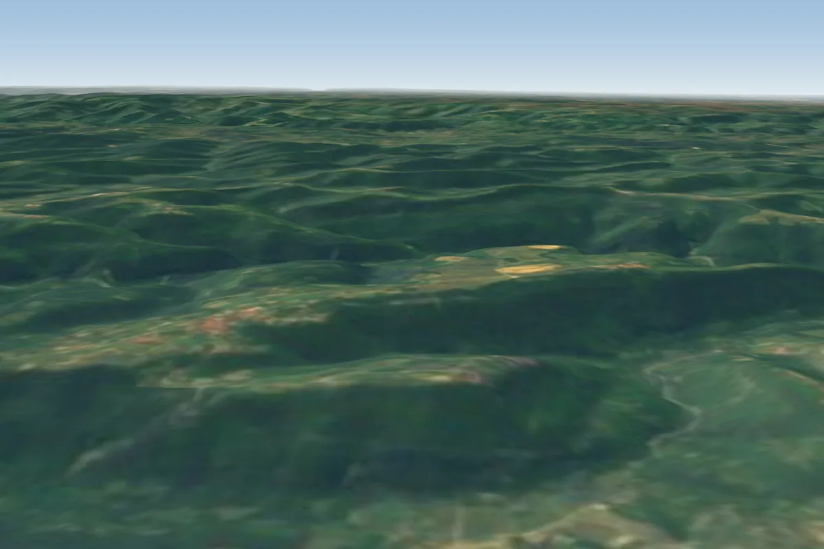 Glem39 km S · Faces NW–NWorks in other winds
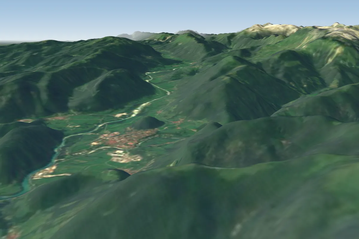 Kobala (Tolmin)42 km N · Faces E, WWorks in other winds
Pilot notes
No notes yet. Flown Brestovica? Tell the next pilot what to expect.
Pilot notes on Brestovica
Flying Brestovica?
Takeoff, landing, rules, the hour by hour forecast and live wind are in the site details on the map.
Open site detailsSources
- ParaglidingEarth site record © ParaglidingEarth contributors (CC BY-SA)