Lijak - Lijac
E to W facing ridge site · 571 m takeoff · 508 m height gain
Overview
Lijak - Lijac is a hill site in the Slovenian Alps with a recorded launch elevation of 571 m. It works best in easterly, south-easterly, southerly, south-westerly and westerly winds, and can also work in north-westerly winds. Pilots fly it for ridge soaring and thermal, using foot launch. It is recorded as suitable for cross-country flights.
- You can book tandem flight at LZ pizzeria Lijak !We offer(in a case of bad weather) visit to Postojna cave : http://www.postojnska-jama.si/ with transport and visit of some famus wine cellar! Source: ParaglidingEarth
When to go
Flyable days per month in a typical year.
Flyable days for Lijak - Lijac are on the way. We are scoring ten years of weather for every site, month by month, against this site, its region and the sites around it.
Local weather notes
- Check at local bar (pizzeria Lijak at LZ) about flying conditions !!! Source: ParaglidingEarth
Getting there
Nearest airports
- TRS Trieste Airport25 km
- LJU Ljubljana Jože Pučnik Airport64 km
- KLU Klagenfurt Airport89 km
Where to stay
The nearest towns, for a bed, food and a lift to takeoff.
- Nova Gorica6 km awayBooking.comAirbnb
- Šempeter pri Gorici8 km awayBooking.comAirbnb
- Gorizia8 km awayBooking.comAirbnb
Things to do
For the days the wind is wrong: places worth a visit within 10 km of Lijak - Lijac.
 ŠkabrijelOutdoors · 3.8 km awayMountain in Slovenia
 Co-Cathedral of Christ the Saviour, Nova GoricaCulture · 5.6 km awayChurch in Nova Gorica, Slovenia
 Solkan BridgeCulture · 5.8 km awayArch bridge over the Soča River
 SabotinOutdoors · 7.4 km awayMountain ridge on the border between Slovenia and Italy
 Gorizia CastleCulture · 7.7 km awayMedieval castle in Gorizia, Italy
Flying nearby
See them on the map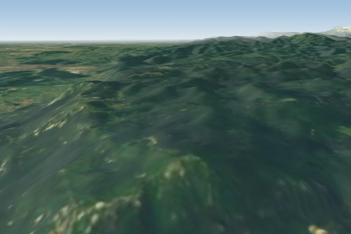 Caven11 km E · Faces E–S
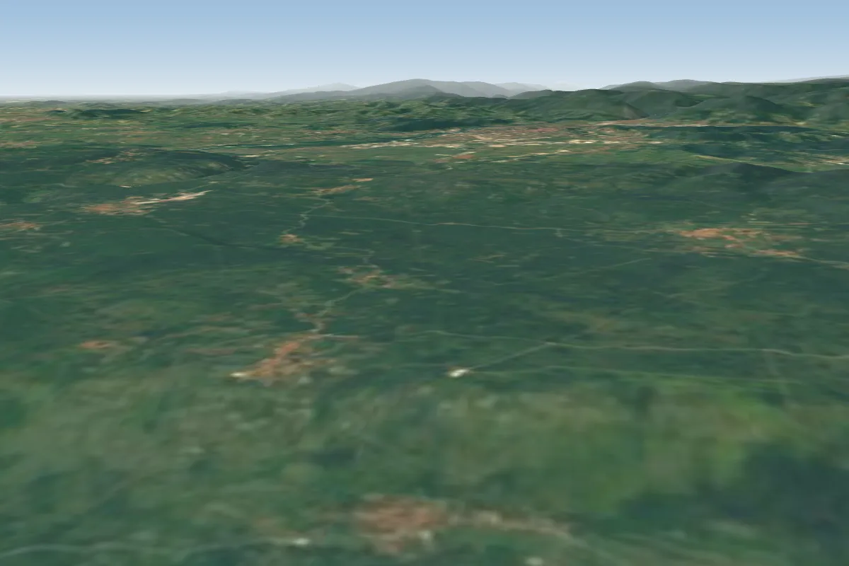 Brestovica18 km SW · Faces S–SW
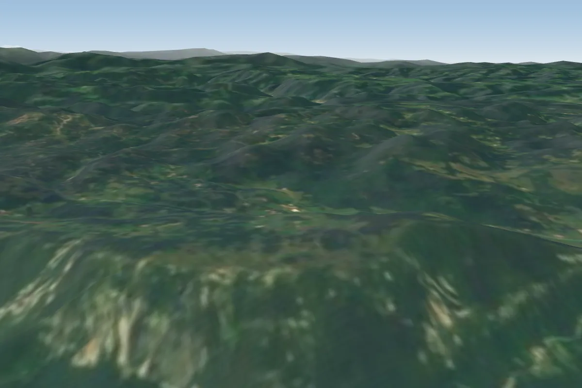 Kovk20 km SE · Faces SWPossible XC from here on a W day, 20 km downwind
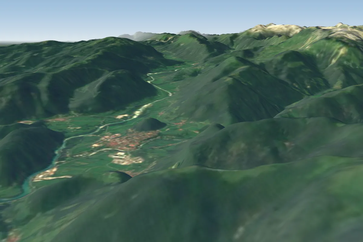 Kobala (Tolmin)25 km N · Faces E, WPossible XC from here on a S day, 25 km downwind
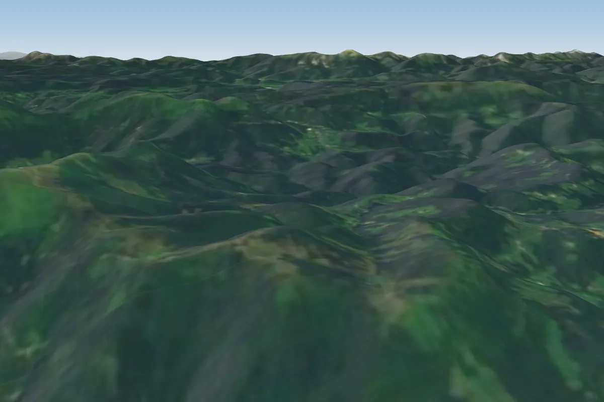 Vrse-Porezen30 km NE · Faces SE–SWPossible XC from here on a SW day, 30 km downwind
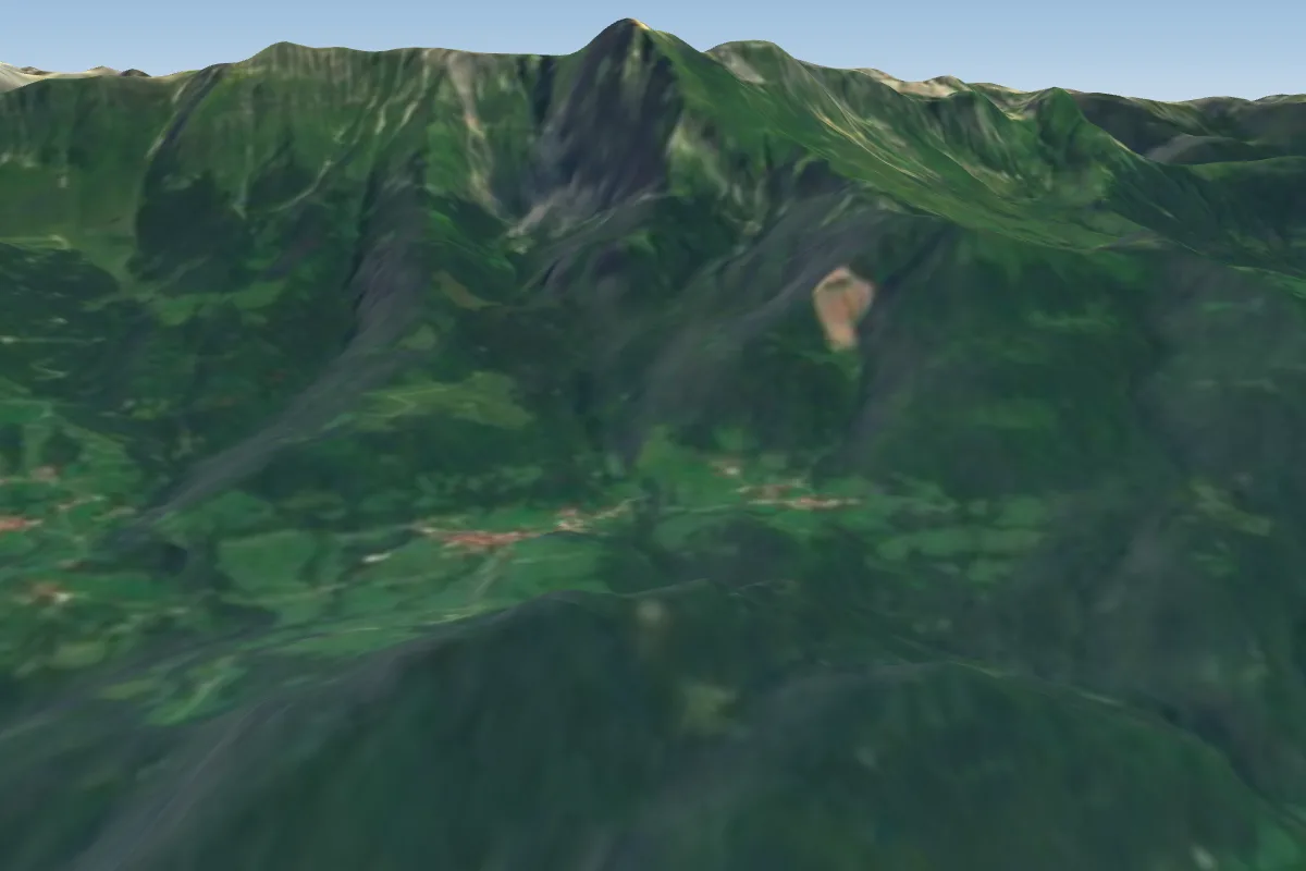 Ozben33 km N · Faces SW
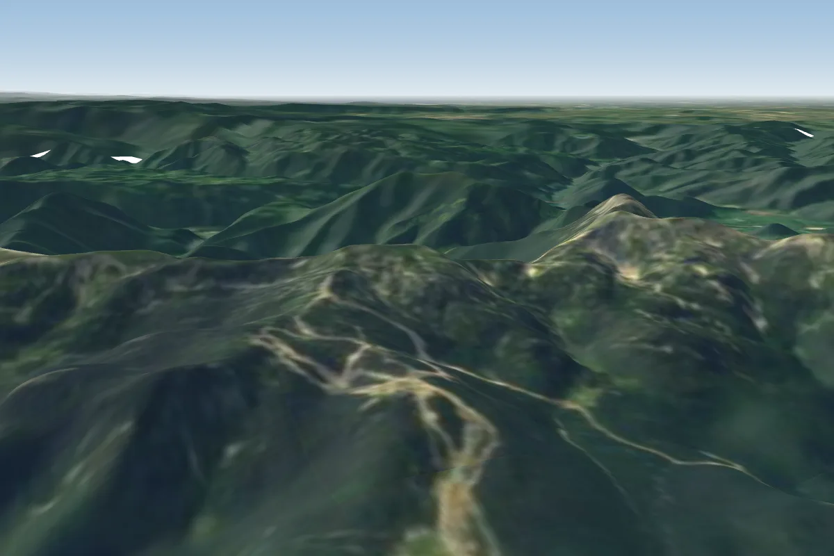 Bohinj-Vogel33 km N · Faces NE–EPossible XC from here on a S day, 33 km downwindWorks in other winds
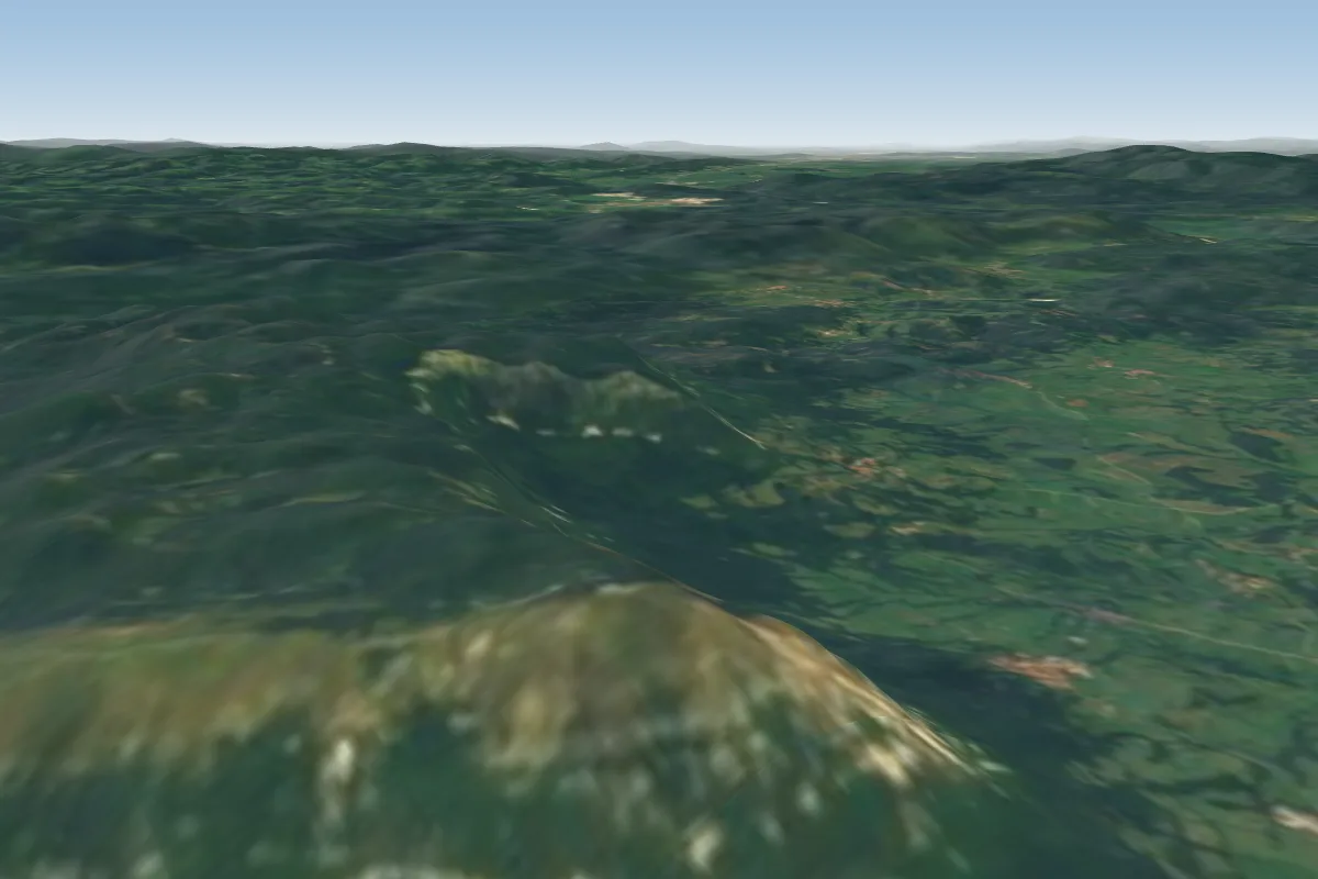 Nanos33 km SE · Faces S–SW
Pilot notes
No notes yet. Flown Lijak - Lijac? Tell the next pilot what to expect.
Pilot notes on Lijak - Lijac
Flying Lijak - Lijac?
Takeoff, landing, rules, the hour by hour forecast and live wind are in the site details on the map.
Open site detailsSources
- ParaglidingEarth site record © ParaglidingEarth contributors (CC BY-SA)