Blackhawk
N to NE facing thermal site · 1,929 m takeoff
Overview
Blackhawk is a flatland site in United States with a recorded launch elevation of 1,929 m. It works best in northerly and north-easterly winds, and can also work in easterly and north-westerly winds. Pilots fly it for thermal, using foot launch. It is recorded as suitable for cross-country flights.
When to go
Flyable days per month in a typical year.
Flyable days for Blackhawk are on the way. We are scoring ten years of weather for every site, month by month, against this site, its region and the sites around it.
Getting there
Nearest airports
- SBD San Bernardino International Airport47 km
- PSP Palm Springs International Airport64 km
- ONT Ontario International Airport79 km
Things to do
For the days the wind is wrong: places worth a visit within 10 km of Blackhawk.


Flying nearby
See them on the map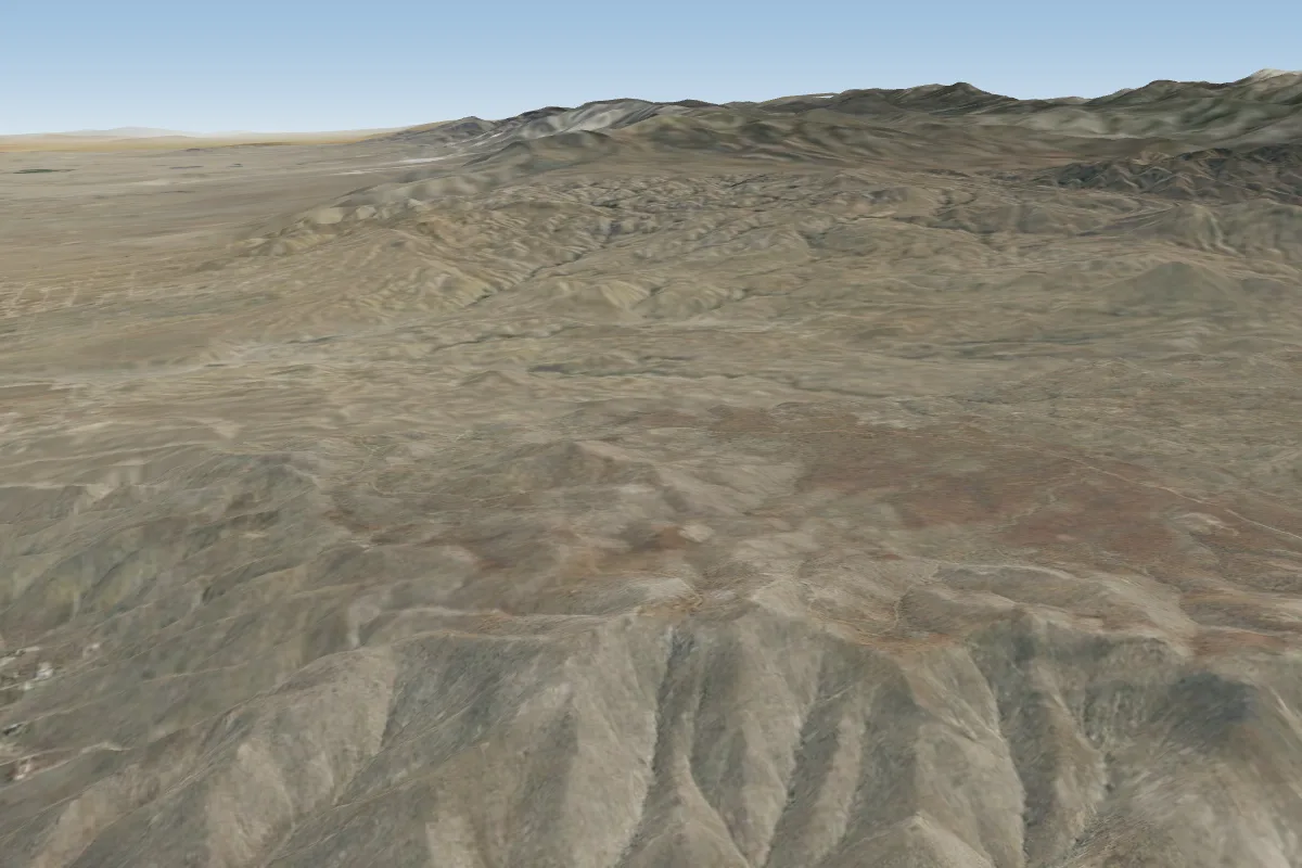 Ord34 km W · Faces NE, W, NWWorks in other winds
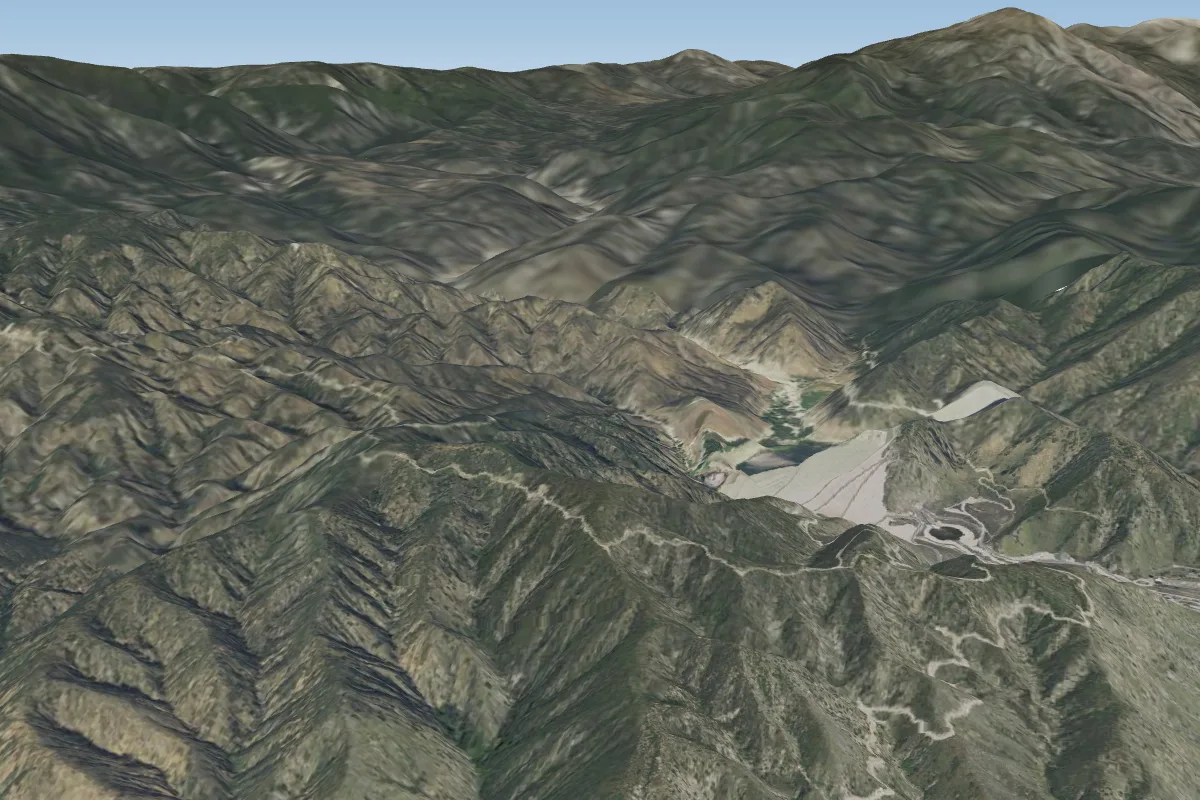 Mentone37 km SW · Faces SWPossible XC from here on a NE day, 37 km downwindWorks in other winds
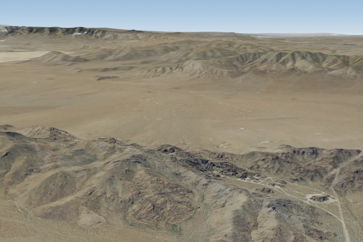 New Jack City - East Ridge39 km N
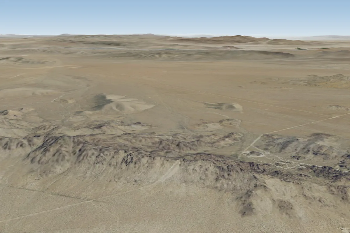 New Jack City - West Ridge39 km NW · Faces NE, E, S, SWWorks in other winds
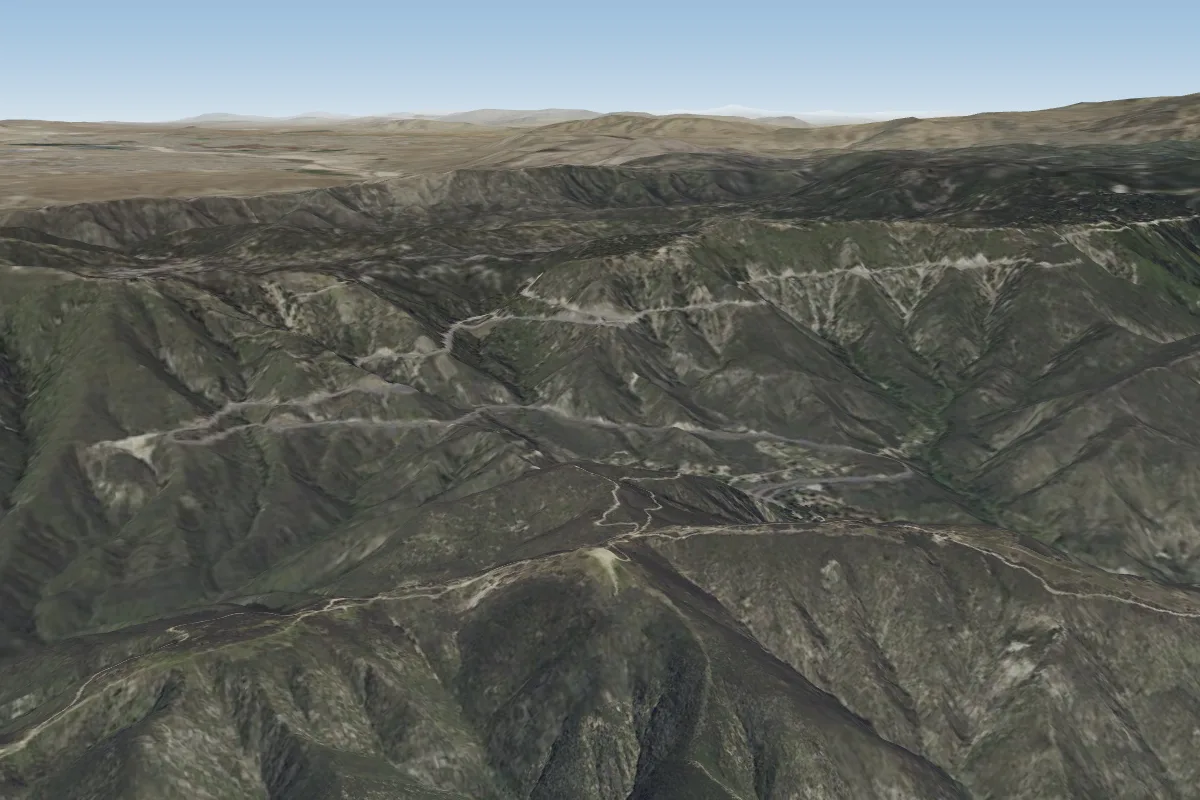 Marshall (San Bernardino)47 km W · Faces S–SWPossible XC from here on a NE day, 47 km downwindWorks in other winds
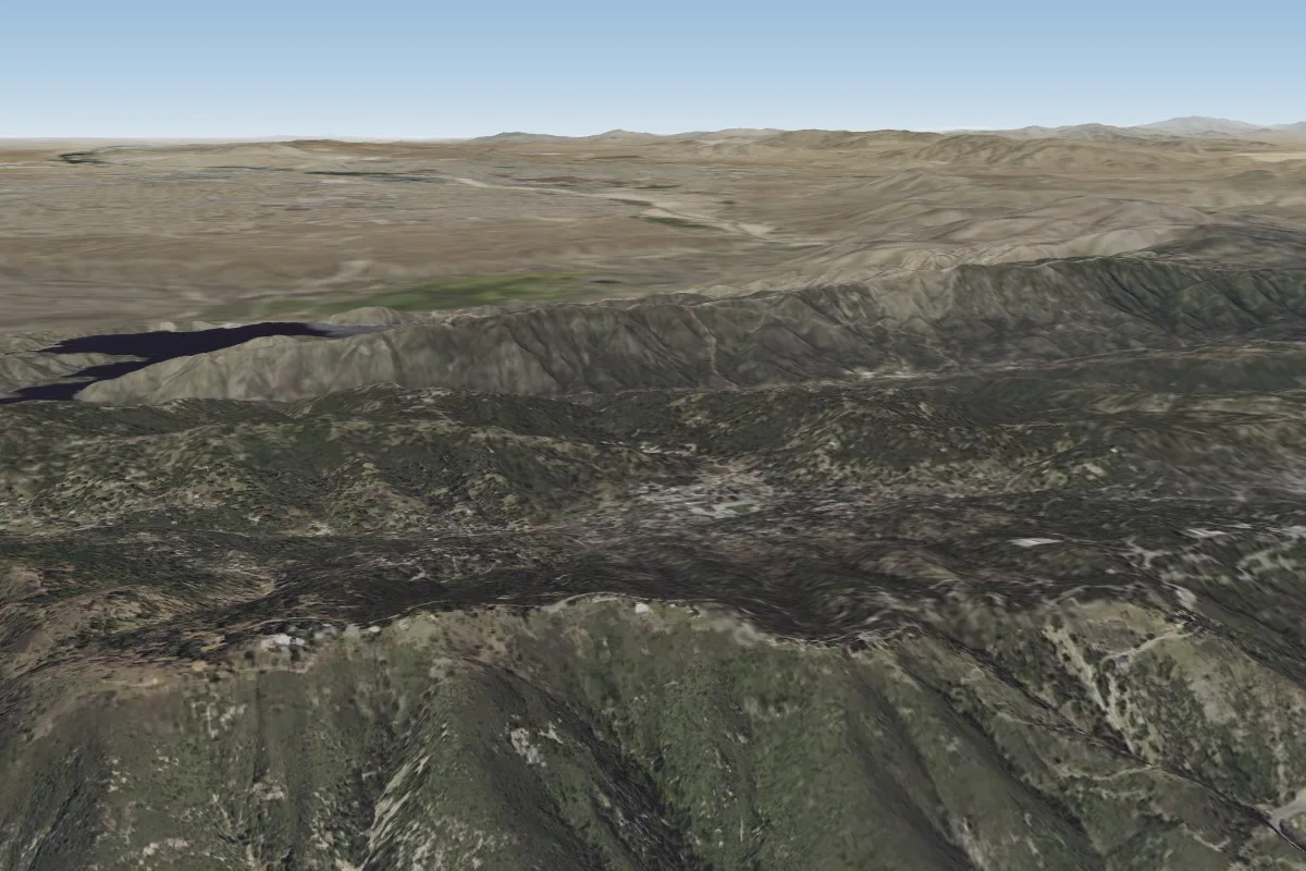 Crestline (San Bernardino)47 km W · Faces S–SWWorks in other winds
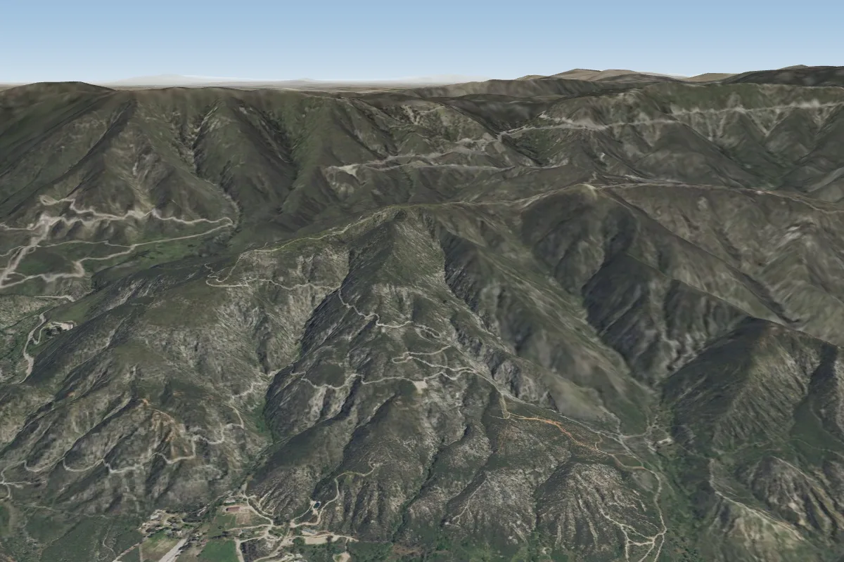 750' (San Bernardino)48 km W
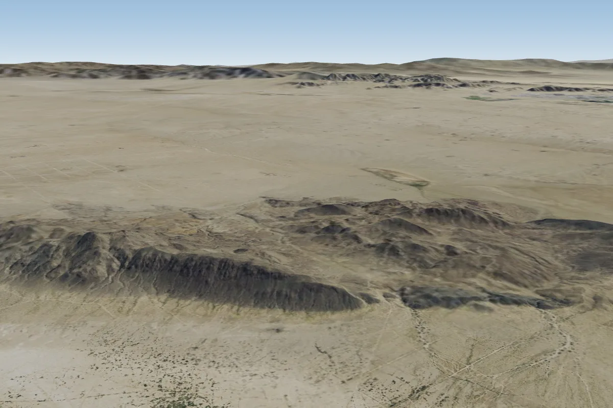 Coyote dry lake58 km E · Faces SWWorks in other winds
Pilot notes
No notes yet. Flown Blackhawk? Tell the next pilot what to expect.
Pilot notes on Blackhawk
Flying Blackhawk?
Takeoff, landing, rules, the hour by hour forecast and live wind are in the site details on the map.
Open site detailsSources
- ParaglidingEarth site record © ParaglidingEarth contributors (CC BY-SA)