Crestline (San Bernardino)
S to SW facing ridge site · 1,590 m takeoff · 1,072 m height gain
Overview
Crestline (San Bernardino) is a mountain site in United States with a recorded launch elevation of 1,590 m. It works best in southerly and south-westerly winds, and can also work in south-easterly and westerly winds. Pilots fly it for ridge soaring and thermal, using foot launch. It is recorded as suitable for cross-country flights.
- There are normally higher winds here than at the Marshall launch which is about 300m (1000') lower. Marshall is an unusually reliable site, especially in the summer. Beginning May 1 there are often 100 soarable days in a row. Source: ParaglidingEarth
When to go
Flyable days per month in a typical year.
Flyable days for Crestline (San Bernardino) are on the way. We are scoring ten years of weather for every site, month by month, against this site, its region and the sites around it.
Local weather notes
- Summer conditions mid-day are usually very strong and can be dangerous. Dust devils blow through the LZ. Pilots are encouraged to launch after 5 pm on their first flight and work earlier as they see how they like it. Source: ParaglidingEarth
Getting there
Nearest airports
- SBD San Bernardino International Airport17 km
- ONT Ontario International Airport33 km
- SNA John Wayne Orange County International Airport81 km
Where to stay
The nearest towns, for a bed, food and a lift to takeoff.
- Crestline3 km awayBooking.comAirbnb
- Lake Arrowhead11 km awayBooking.comAirbnb
- San Bernardino14 km away · cityBooking.comAirbnb
Things to do
For the days the wind is wrong: places worth a visit within 10 km of Crestline (San Bernardino).
 Monument Peak (San Bernardino County)Outdoors · 3.9 km awayMountain in California, USA
 Devil CanyonOutdoors · 5 km awayValley in California
 Daley Toll RoadCulture · 8.9 km awayCalifornia Historic Landmark
- Mormon Lumber RoadCulture · 1.8 km awayCalifornia Historic Landmark
- Sawpit CanyonOutdoors · 5.4 km awayValley in California, United States
- Cable CanyonOutdoors · 7 km awayValley in California, US
- Shandin HillsOutdoors · 8.7 km awayMountain range of the Transverse Ranges in California, United States
Flying nearby
See them on the map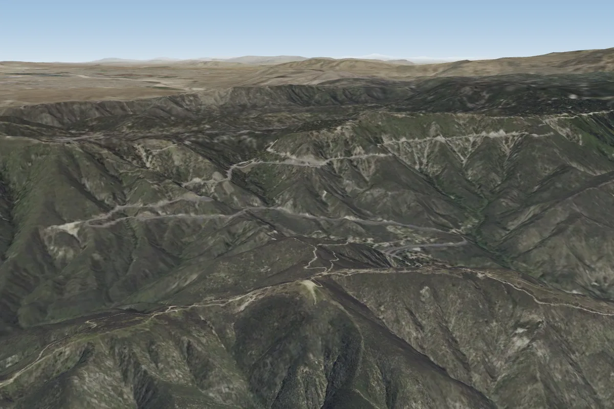 Marshall (San Bernardino)3 km S · Faces S–SW
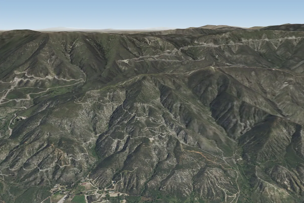 750' (San Bernardino)4 km S
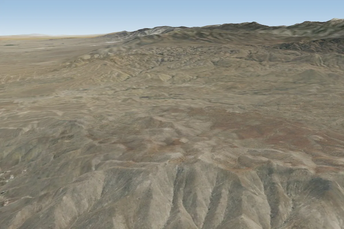 Ord22 km NE · Faces NE, W, NWPossible XC from here on a SW day, 22 km downwindWorks in other winds
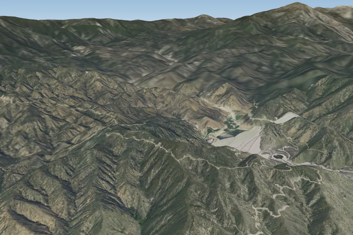 Mentone23 km SE · Faces SW
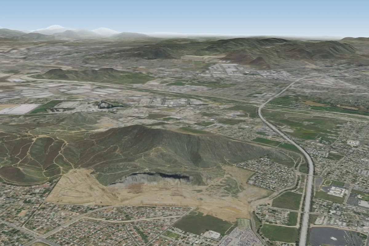 Rubidoux - The Rock26 km S · Faces W
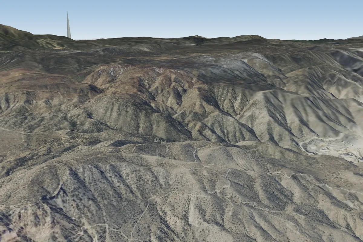 Blackhawk47 km E · Faces N–NEWorks in other winds
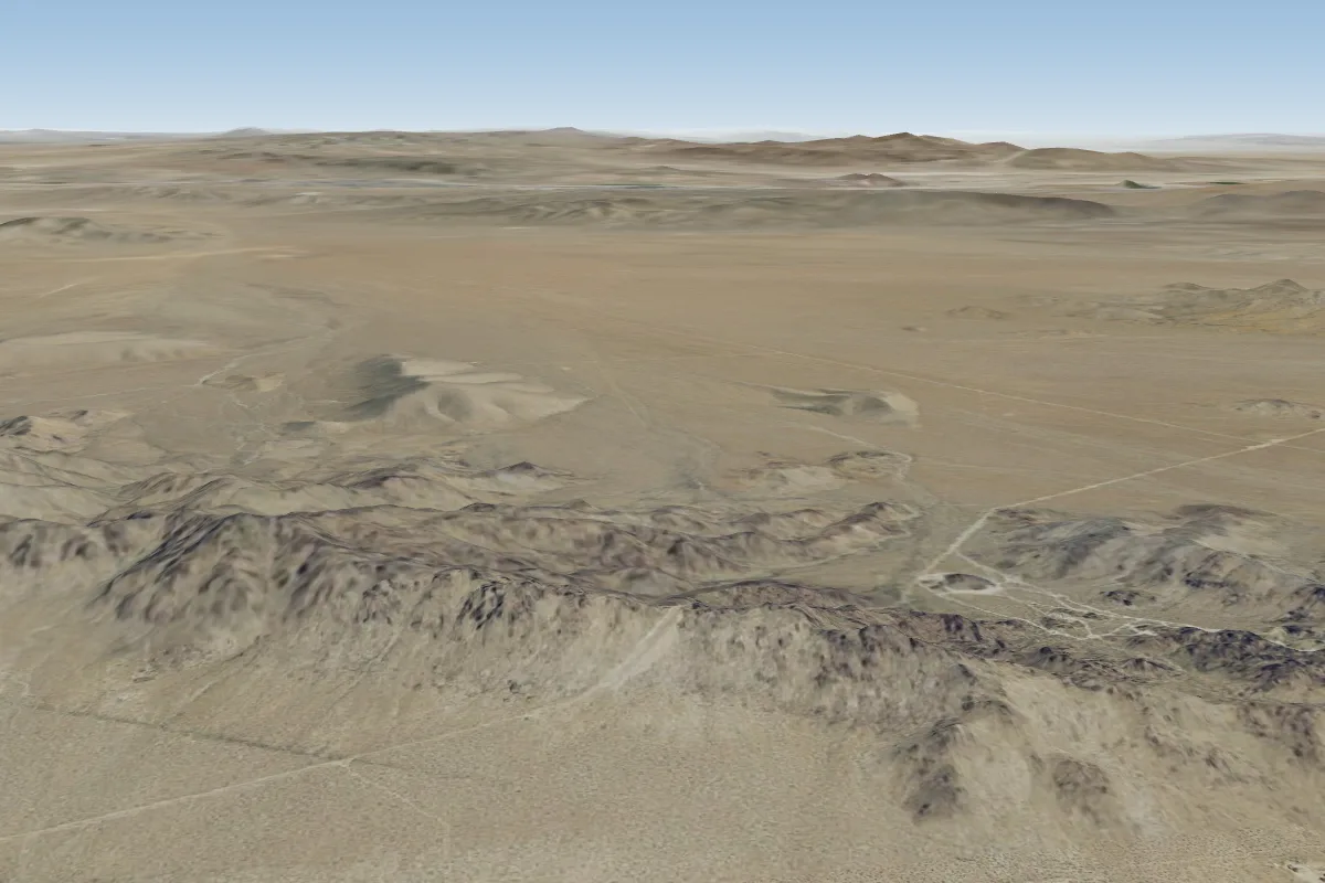 New Jack City - West Ridge56 km NE · Faces NE, E, S, SWWorks in other winds
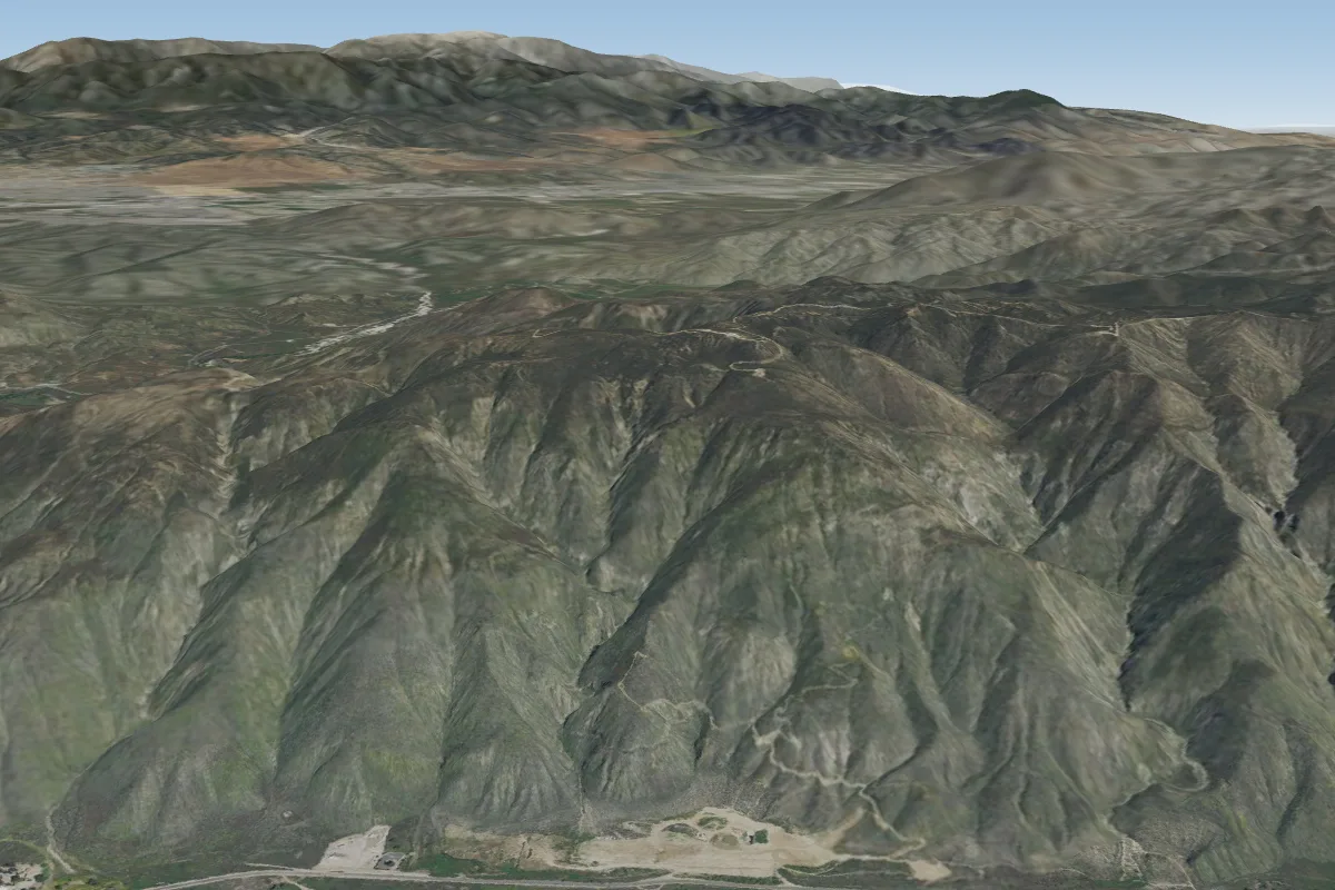 Soboba56 km SE · Faces SW
Pilot notes
No notes yet. Flown Crestline (San Bernardino)? Tell the next pilot what to expect.
Pilot notes on Crestline (San Bernardino)
Flying Crestline (San Bernardino)?
Takeoff, landing, rules, the hour by hour forecast and live wind are in the site details on the map.
Open site detailsSources
- ParaglidingEarth site record © ParaglidingEarth contributors (CC BY-SA)