Blossom Valley
West-facing ridge site · 458 m takeoff · 62 m height gain
Overview
Blossom Valley is a hill site in United States with a recorded launch elevation of 458 m. It works best in westerly winds, and can also work in south-westerly and north-westerly winds. Pilots fly it for ridge soaring and thermal, using foot launch. It is recorded as suitable for cross-country flights.
- Sensitive site, contact local pilots first. http://www.sdhgpa.com/sites-guide.html good site intro: https://www.youtube.com/watch?v=o01KkY2DAIw http://www.youtube.com/watch?v=gzArH61vHdA 17.2 MB MPEG-4 (H.264) video (will play with… Source: ParaglidingEarth
When to go
Flyable days per month in a typical year.
Flyable days for Blossom Valley are on the way. We are scoring ten years of weather for every site, month by month, against this site, its region and the sites around it.
Local weather notes
- Blossom Valley has the Highest Accident Rate of all San Diego County sites. Thumper out front and to the North is a knob that tends to throw off thermals that can be pretty bouncy. Source: ParaglidingEarth
Getting there
Nearest airports
- SAN San Diego International Airport36 km
- TIJ General Abelardo L. Rodriguez International Airport39 km
- CLD McClellan-Palomar Airport49 km
Where to stay
The nearest towns, for a bed, food and a lift to takeoff.
- Lakeside7 km awayBooking.comAirbnb
- Alpine9 km awayBooking.comAirbnb
- Winter Gardens9 km awayBooking.comAirbnb
Things to do
For the days the wind is wrong: places worth a visit within 10 km of Blossom Valley.
 Lake JenningsOutdoors · 4.3 km awayArtificial Lake in Lakeside, California
 El Cajon MountainOutdoors · 5 km awayMountain in California, United States
- Marshal Scotty's Playland ParkOutdoors · 5.1 km awayFormer American amusement park
- Alpine Beer CompanyCulture · 9 km awayAmerican brewery
- Wright's Field in AlpineOutdoors · 9.1 km awayAmerican nature reserve
- Shadow Mountain Community ChurchCulture · 9.6 km awayChurch in the United States
Flying nearby
See them on the map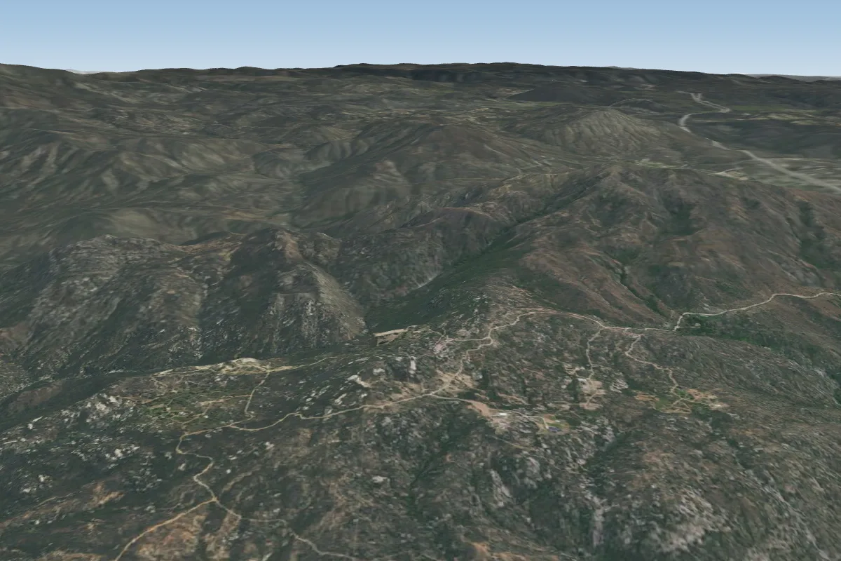 The Rock (Closed)9 km E
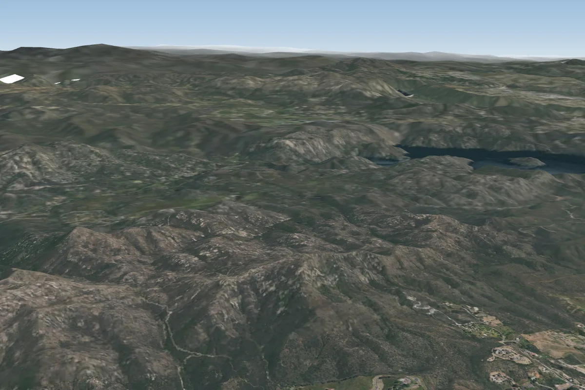 Iron Mountain15 km NW · Faces W
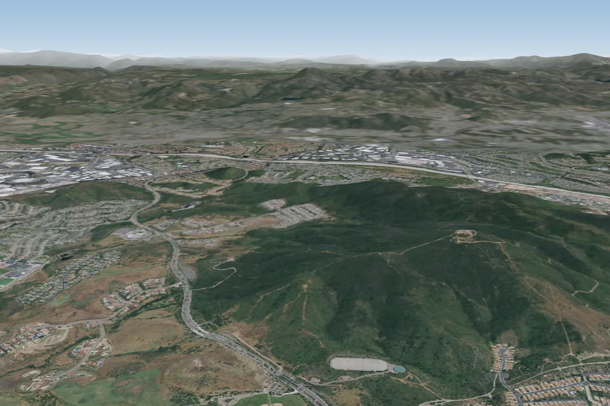 Little Black28 km NW · Faces W–NW
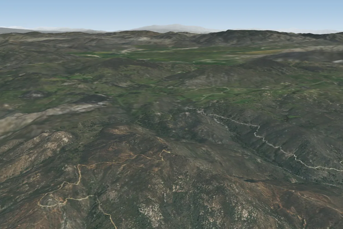 Big Black31 km N · Faces SW–W
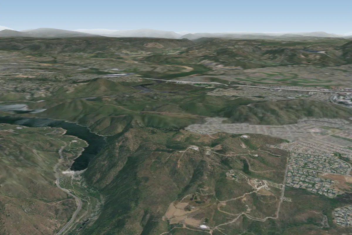 Stonehenge (Closed)32 km NW
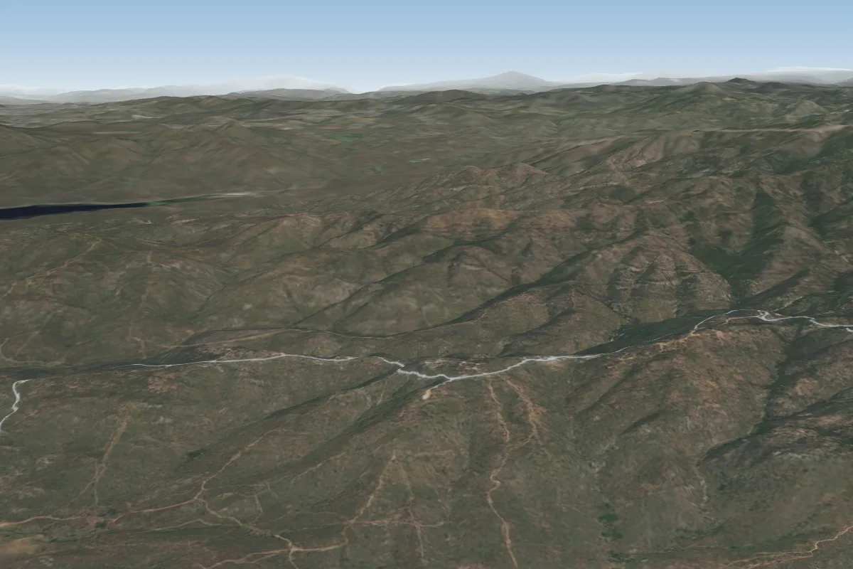 Otay Mesa34 km S · Faces SWorks in other winds
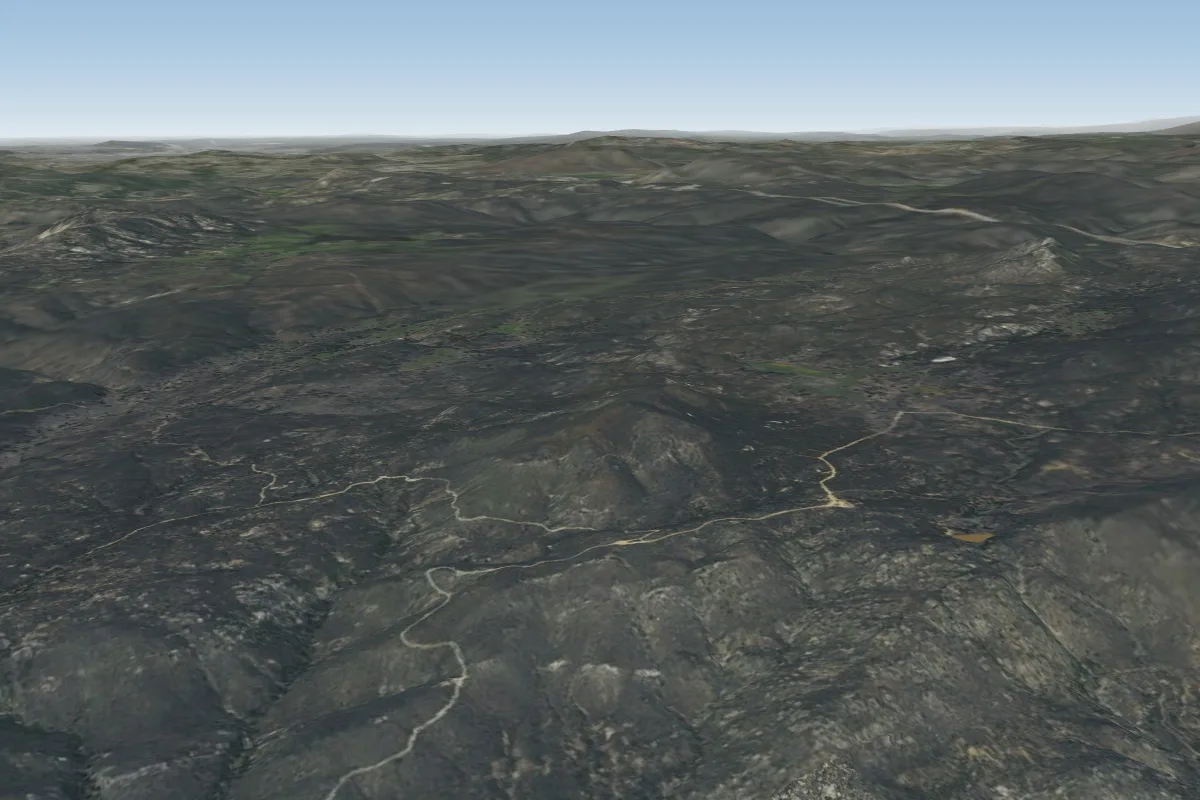 Fuzz (Closed)34 km E
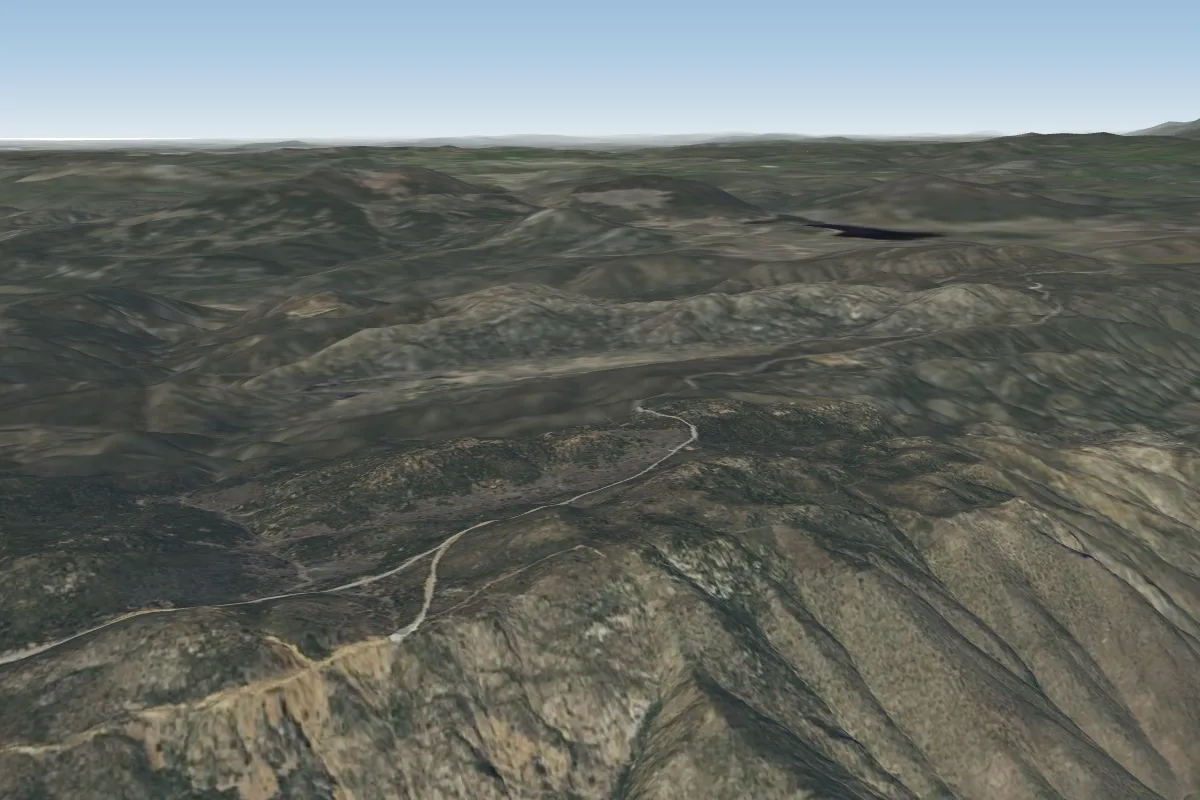 Laguna35 km E · Faces NE–EPossible XC from here on a W day, 35 km downwindWorks in other winds
Pilot notes
No notes yet. Flown Blossom Valley? Tell the next pilot what to expect.
Pilot notes on Blossom Valley
Flying Blossom Valley?
Takeoff, landing, rules, the hour by hour forecast and live wind are in the site details on the map.
Open site detailsSources
- ParaglidingEarth site record © ParaglidingEarth contributors (CC BY-SA)