Laguna
NE to E facing thermal site · 1,705 m takeoff · 1,069 m height gain
Overview
Laguna is a flatland site in United States with a recorded launch elevation of 1,705 m. It works best in north-easterly and easterly winds, and can also work in northerly and south-easterly winds. Pilots fly it for thermal, using foot launch. It is recorded as suitable for cross-country flights.
- This site is under annual special use permit assessment with State Park and National Agencies so please don't fly here unless accompanied by an active SDHGPA (San Diego Association) member and receive a complete site briefing for current… Source: ParaglidingEarth
When to go
Flyable days per month in a typical year.
Flyable days for Laguna are on the way. We are scoring ten years of weather for every site, month by month, against this site, its region and the sites around it.
Getting there
Nearest airports
- TIJ General Abelardo L. Rodriguez International Airport63 km
- SAN San Diego International Airport70 km
- CLD McClellan-Palomar Airport77 km
Things to do
For the days the wind is wrong: places worth a visit within 10 km of Laguna.
 Cuyamaca Rancho State ParkOutdoors · 7.7 km awayState park in California, United States
 Stonewall PeakOutdoors · 8.6 km awayMountain in southern California, United States
- Upper Green ValleyOutdoors · 5.9 km awayValley in California, United States
- Oakzanita PeakOutdoors · 9 km awayMountain in California, United States
Flying nearby
See them on the map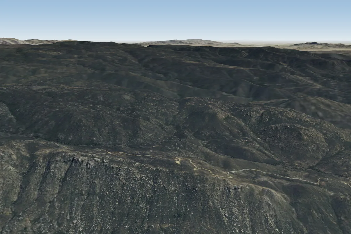 Horse Canyon18 km S · Faces SW–WWorks in other winds
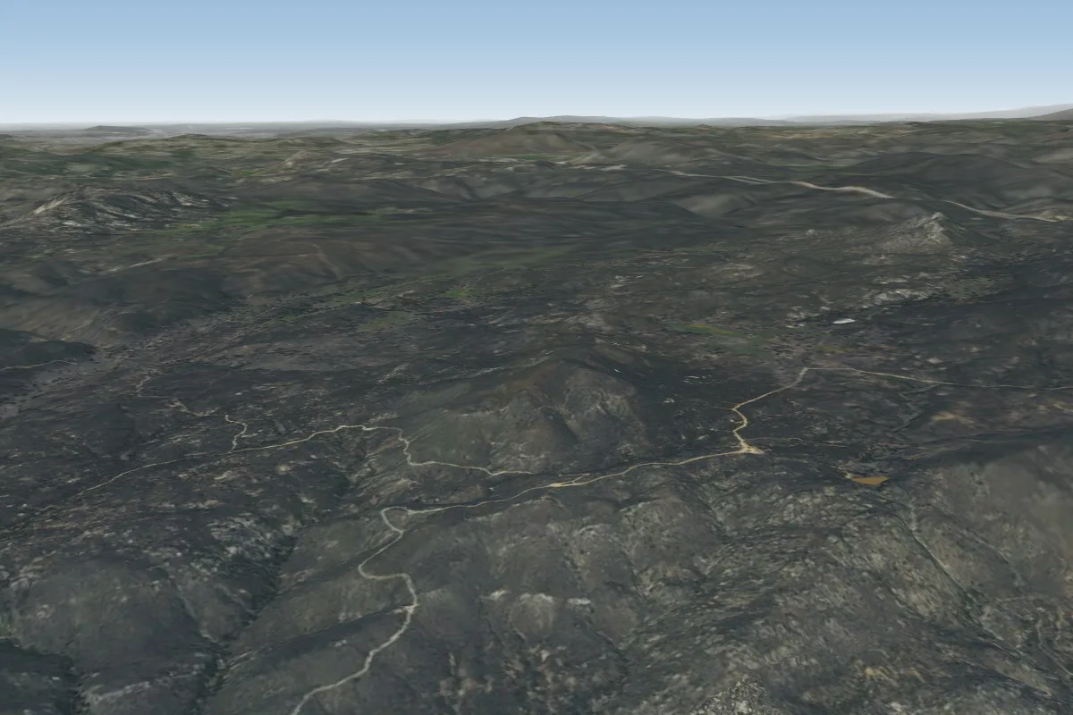 Fuzz (Closed)20 km S
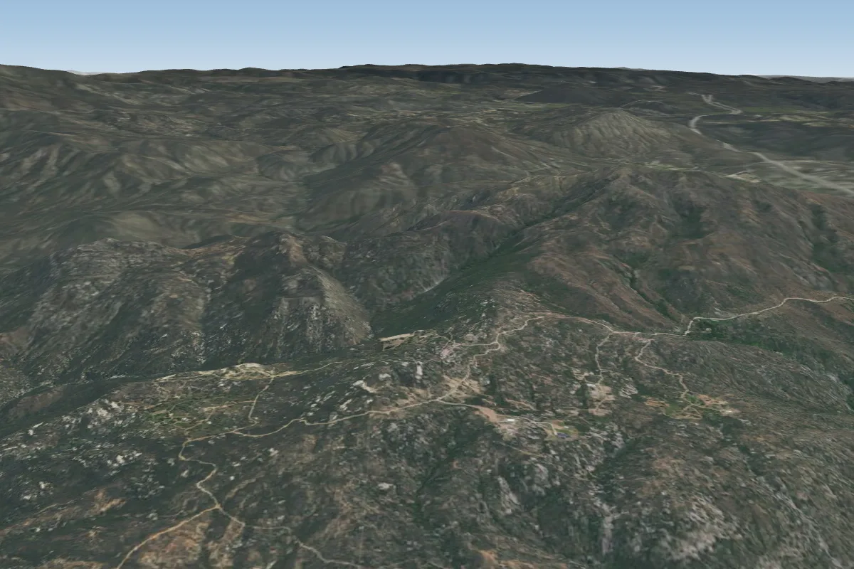 The Rock (Closed)26 km WPossible XC from here on a E day, 26 km downwind
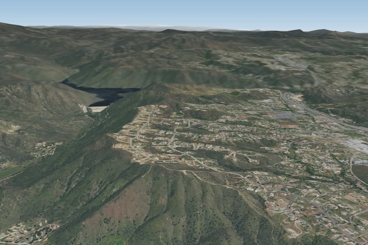 Blossom Valley35 km W · Faces WPossible XC from here on a E day, 35 km downwindWorks in other winds
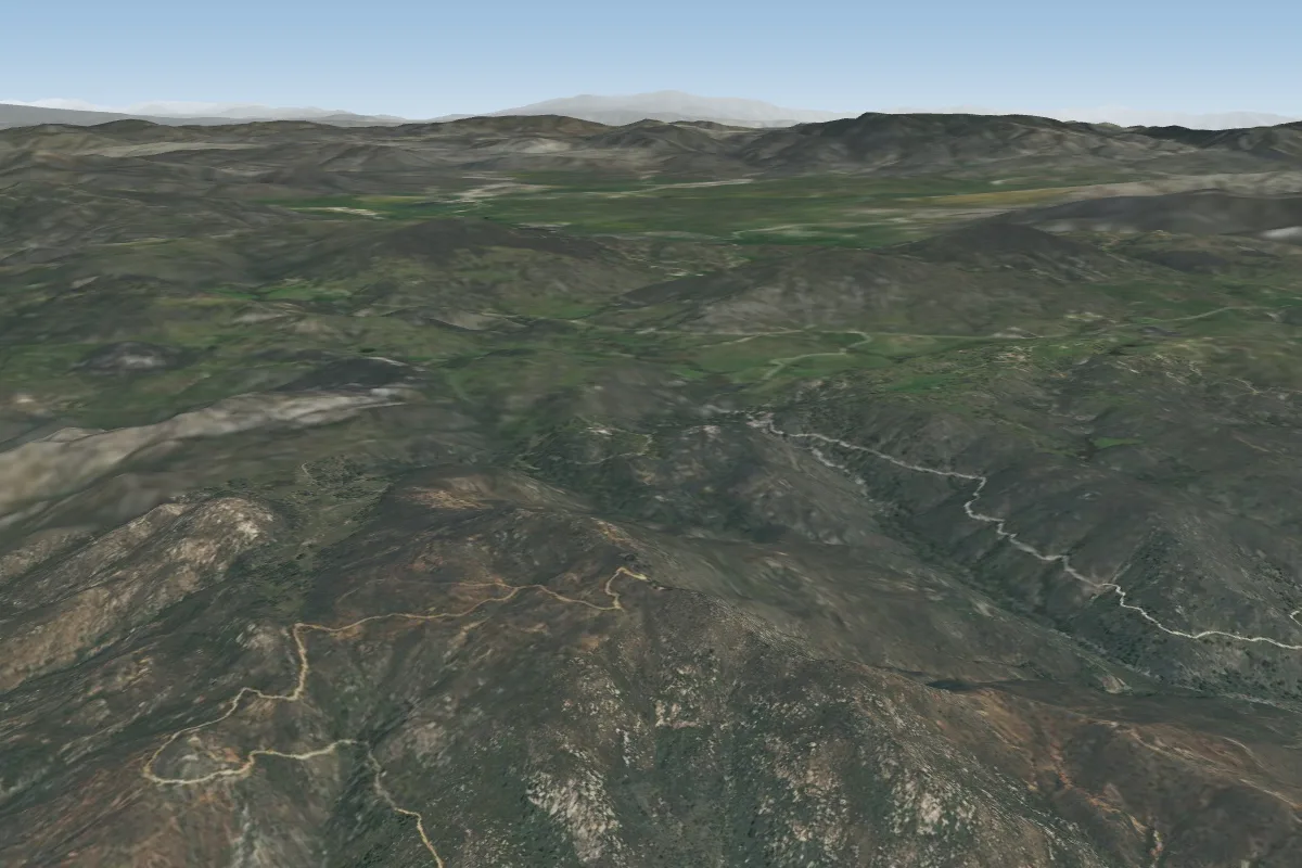 Big Black39 km NW · Faces SW–WWorks in other winds
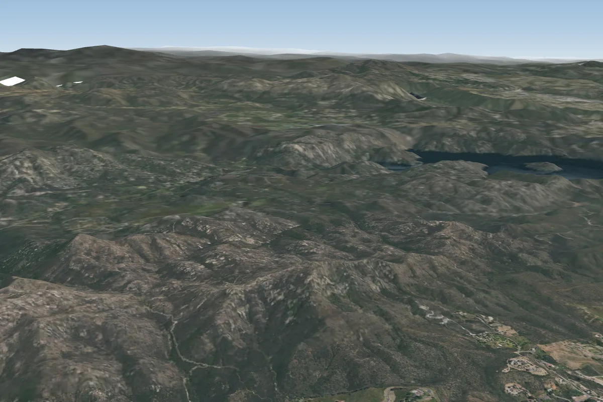 Iron Mountain44 km W · Faces WWorks in other winds
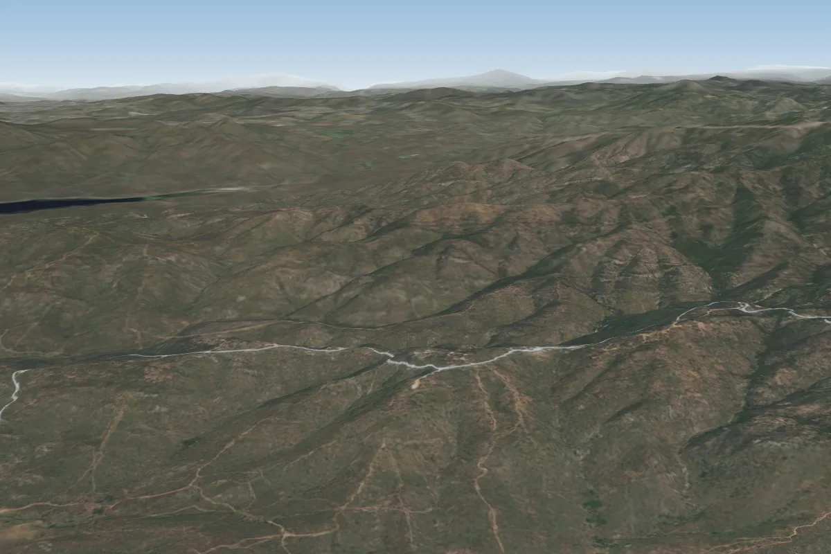 Otay Mesa56 km SW · Faces SPossible XC from here on a NE day, 56 km downwindWorks in other winds
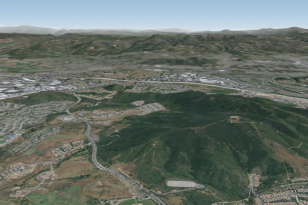 Little Black60 km W · Faces W–NWWorks in other winds
Pilot notes
No notes yet. Flown Laguna? Tell the next pilot what to expect.
Pilot notes on Laguna
Flying Laguna?
Takeoff, landing, rules, the hour by hour forecast and live wind are in the site details on the map.
Open site detailsSources
- ParaglidingEarth site record © ParaglidingEarth contributors (CC BY-SA)