Buddha (Closed)
South-west-facing ridge site · 459 m takeoff
Overview
Buddha (Closed) is a hill site in United States with a recorded launch elevation of 459 m. It is recorded as workable in south-westerly winds. Pilots fly it for ridge soaring and thermal, using foot launch.
- initialy imported from International Leonardo Source: ParaglidingEarth
When to go
Flyable days per month in a typical year.
Flyable days for Buddha (Closed) are on the way. We are scoring ten years of weather for every site, month by month, against this site, its region and the sites around it.
Getting there
Nearest airports
- CLD McClellan-Palomar Airport20 km
- SAN San Diego International Airport51 km
- TIJ General Abelardo L. Rodriguez International Airport72 km
Things to do
For the days the wind is wrong: places worth a visit within 10 km of Buddha (Closed).
 Deer Park MonasteryCulture · 0.9 km awayBuddhist monastery in Escondido, California
 Dixon ReservoirOutdoors · 3.2 km awayLake in California, U.S.
 Thomas House (Escondido, California)Culture · 6.9 km awayUnited States historic place
 A. H. Beach HouseCulture · 7 km awayUnited States historic place
- Merriam MountainsOutdoors · 7.8 km awayMountain Range in California
- Stone Brewing Co.Culture · 8.5 km awayBrewery formerly headquartered in Escondido, California, USA
Flying nearby
See them on the map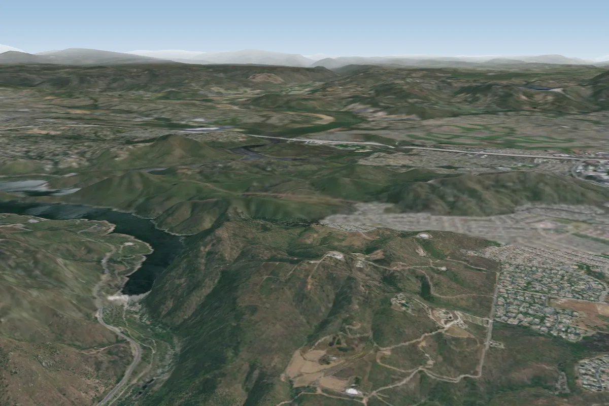 Stonehenge (Closed)17 km S
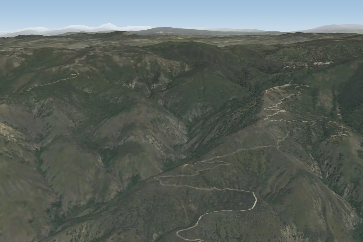 Palomar20 km NE · Faces S–WWorks in other winds
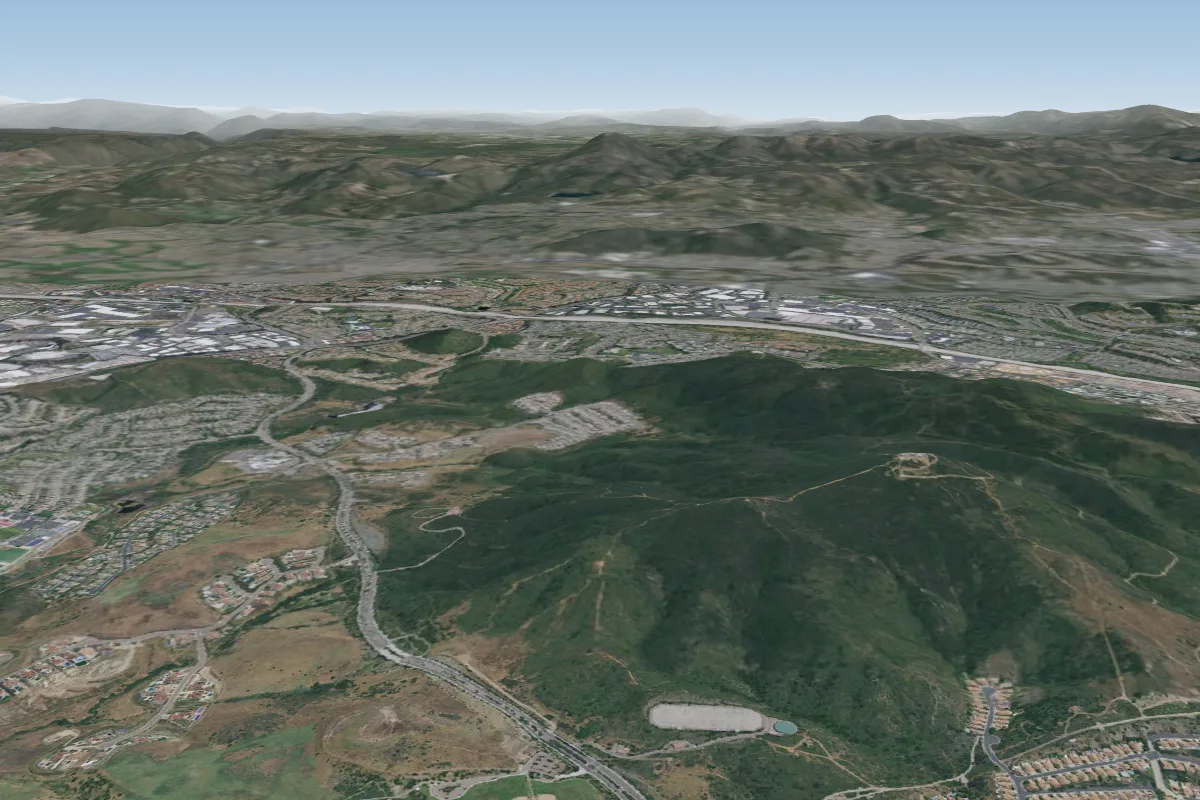 Little Black22 km S · Faces W–NWWorks in other winds
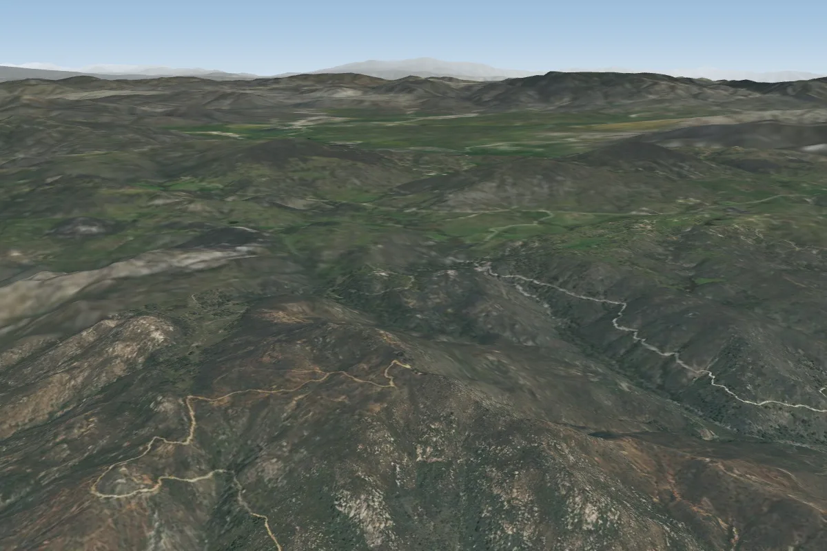 Big Black24 km E · Faces SW–WWorks in other winds
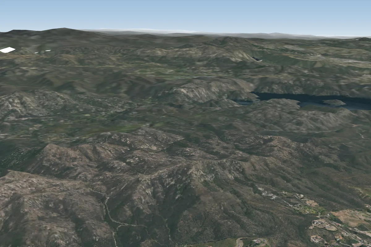 Iron Mountain26 km SE · Faces WWorks in other winds
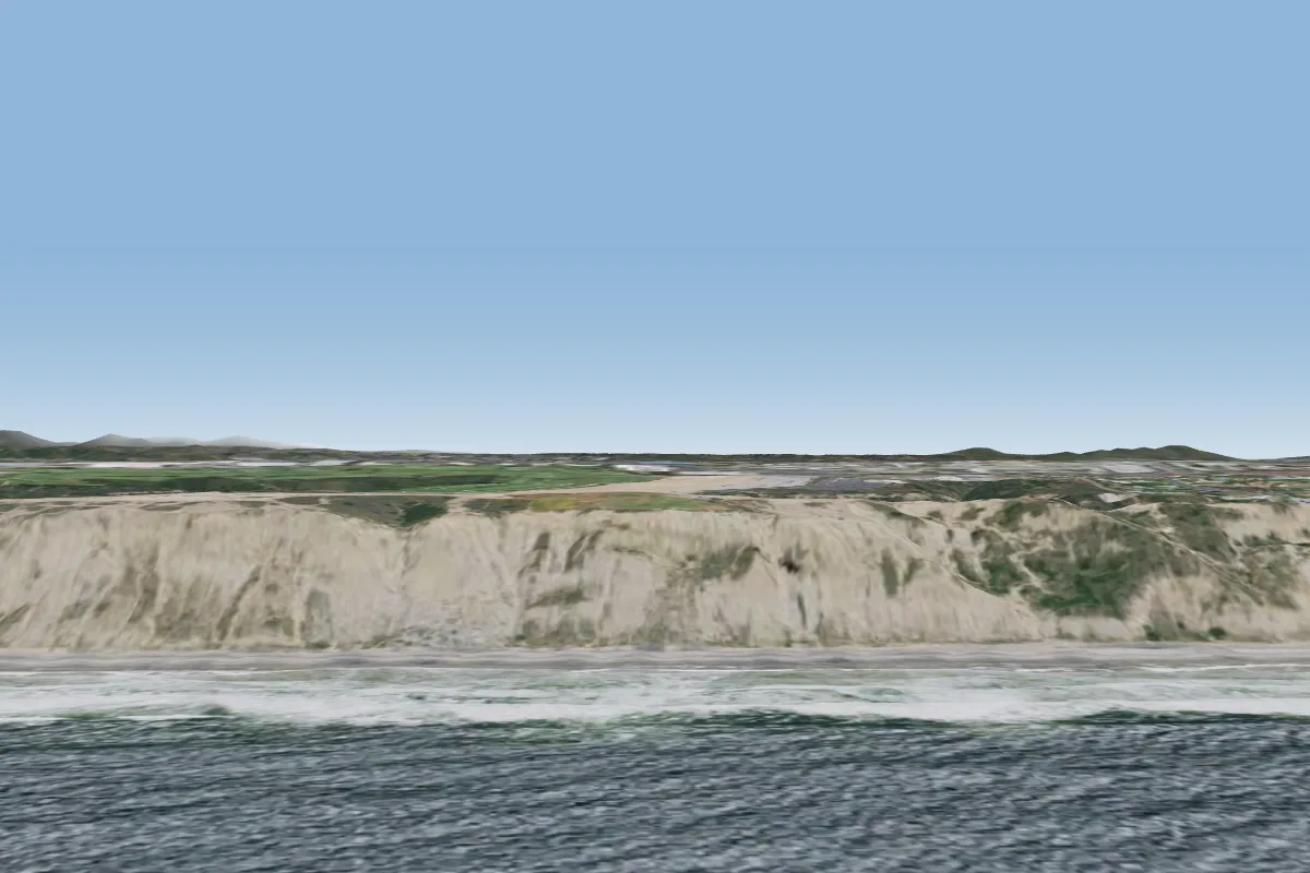 Torrey Pines (San Diego)36 km SW · Faces WWorks in other winds
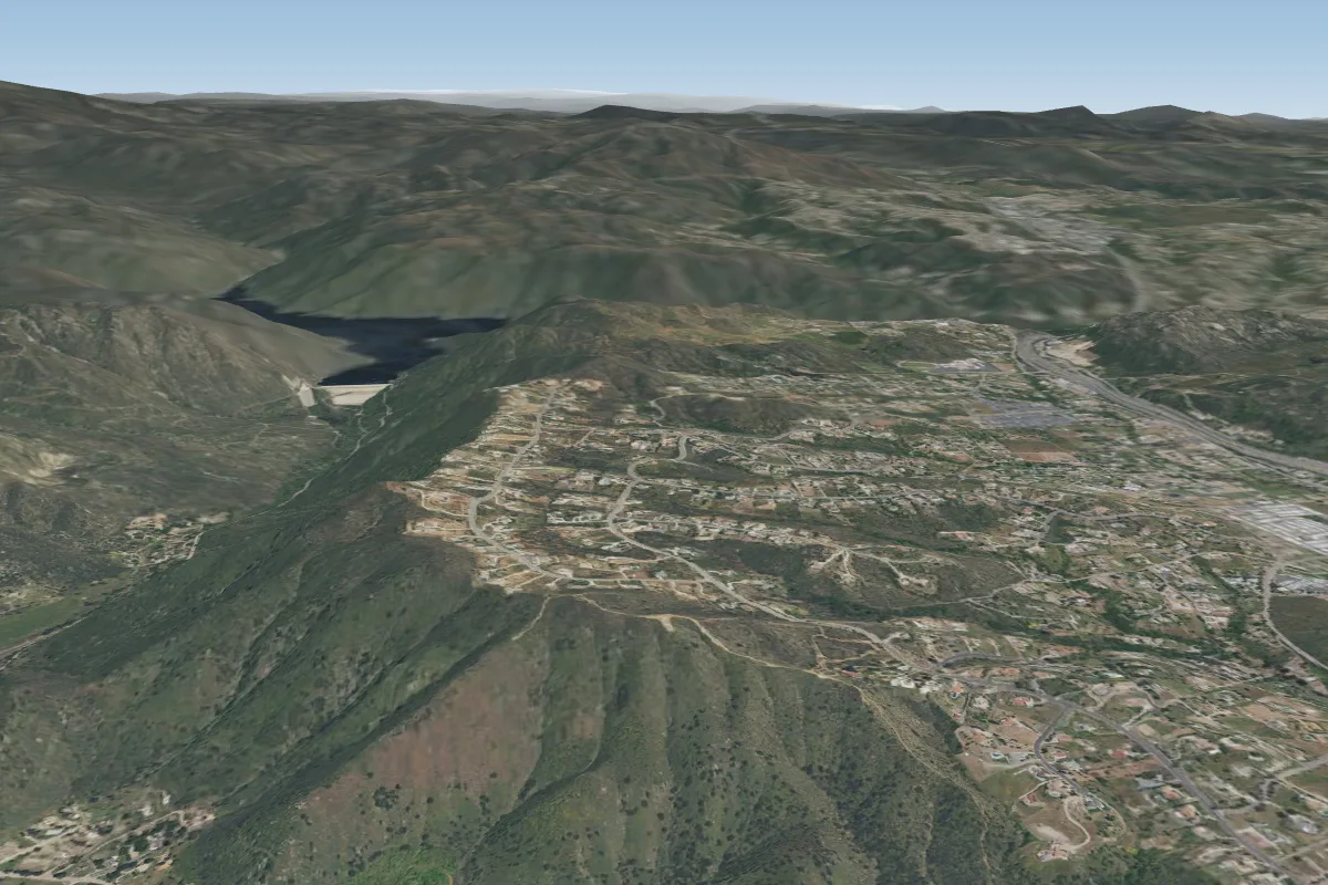 Blossom Valley40 km SE · Faces WWorks in other winds
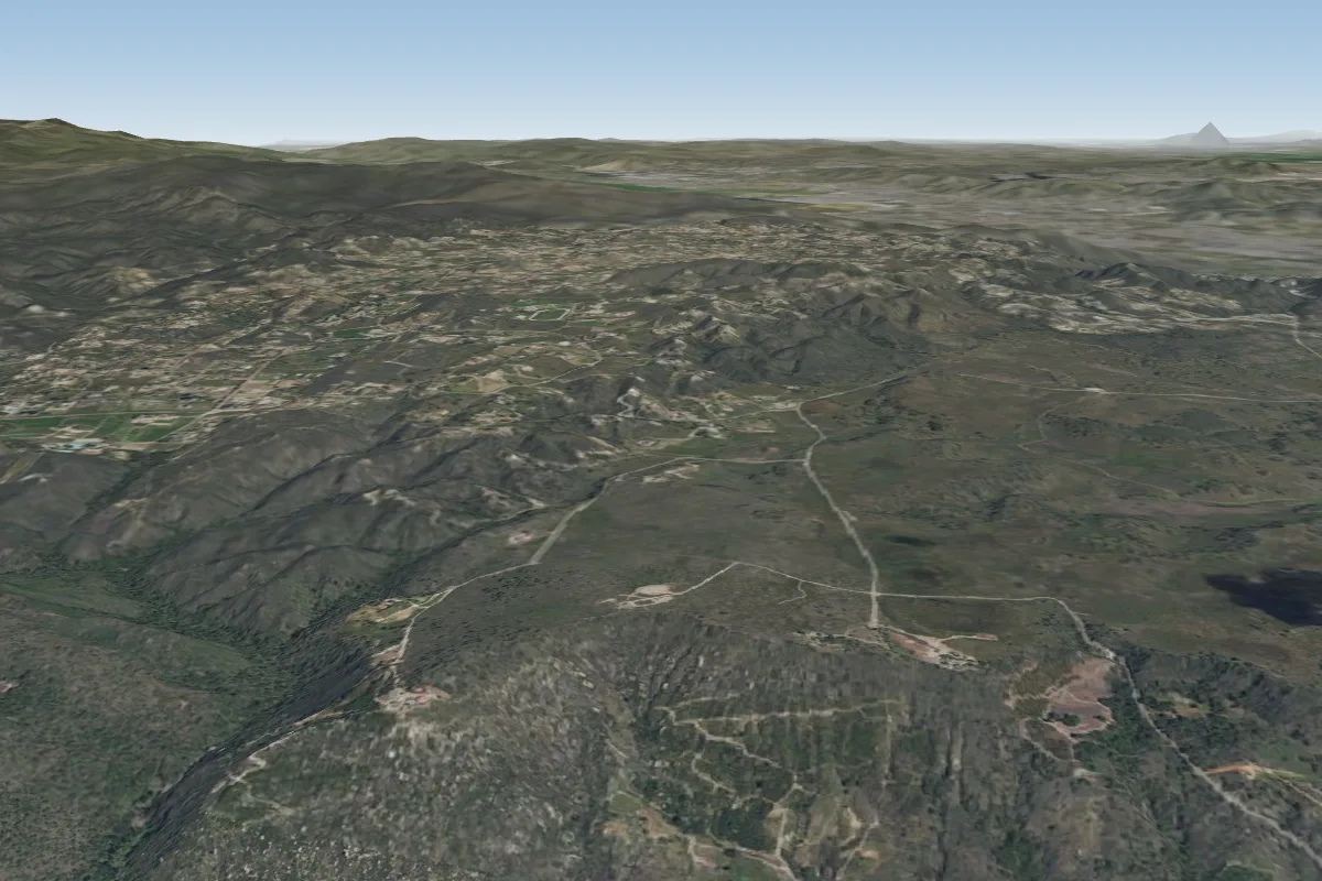 Hidden Valley41 km NW · Faces SWorks in other winds
Pilot notes
No notes yet. Flown Buddha (Closed)? Tell the next pilot what to expect.
Pilot notes on Buddha (Closed)
Flying Buddha (Closed)?
Takeoff, landing, rules, the hour by hour forecast and live wind are in the site details on the map.
Open site detailsSources
- ParaglidingEarth site record © ParaglidingEarth contributors (CC BY-SA)