Henninger Flats - No Safe Local LZ
SE to SW facing thermal site · 752 m takeoff · 431 m height gain
Overview
Henninger Flats - No Safe Local LZ is a mountain site in United States with a recorded launch elevation of 752 m. It works best in south-easterly, southerly and south-westerly winds, and can also work in westerly winds. Pilots fly it for thermal, using foot launch. It is recorded as suitable for cross-country flights.
- There are high transmission lines that you need to clear, from launch you have ample height but if you don't hook into a thermal right away don't dally otherwise you may be stuck on the wrong side of them. Source: ParaglidingEarth
When to go
Flyable days per month in a typical year.
Flyable days for Henninger Flats - No Safe Local LZ are on the way. We are scoring ten years of weather for every site, month by month, against this site, its region and the sites around it.
Local weather notes
- Standard SoCal flying rules apply, expect punchy stuff in midsummer Source: ParaglidingEarth
Getting there
Nearest airports
- BUR Hollywood Burbank/Bob Hope Airport25 km
- HHR Jack Northrop Field Hawthorne Municipal Airport37 km
- LAX Los Angeles International Airport40 km
Things to do
For the days the wind is wrong: places worth a visit within 10 km of Henninger Flats - No Safe Local LZ.
 Crank HouseCulture · 2.5 km awayHistoric house in California, United States
 The Bunny MuseumCulture · 3 km awaySpecialty museum in Altadena, California
 Mount Wilson Toll RoadCulture · 3.2 km awayHistoric road in the San Gabriel Mountains National Monument, USA
 Keyes BungalowCulture · 3.3 km awayHistoric house in California, United States
 Mount Lowe RailwayCulture · 3.8 km awayUnited States historic place
 Echo MountainOutdoors · 3.9 km awayMountain promontory of the San Gabriel Mountains in California, USA
 Gen. Charles S. Farnsworth County ParkCulture · 4.1 km awayUnited States historic place
 Pacific Electric Railway Company Substation No. 8Culture · 4.1 km awayUnited States historic place
Flying nearby
See them on the map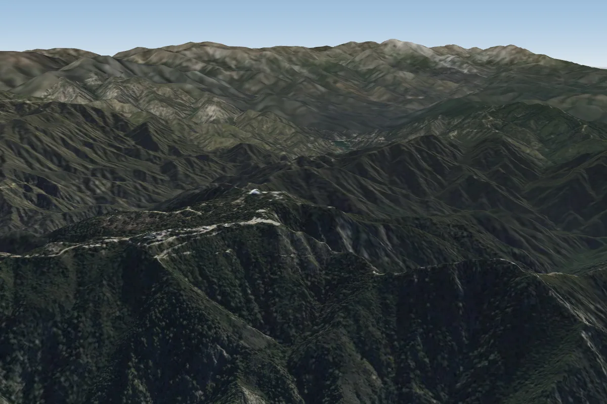 Mt. Wilson4 km NE
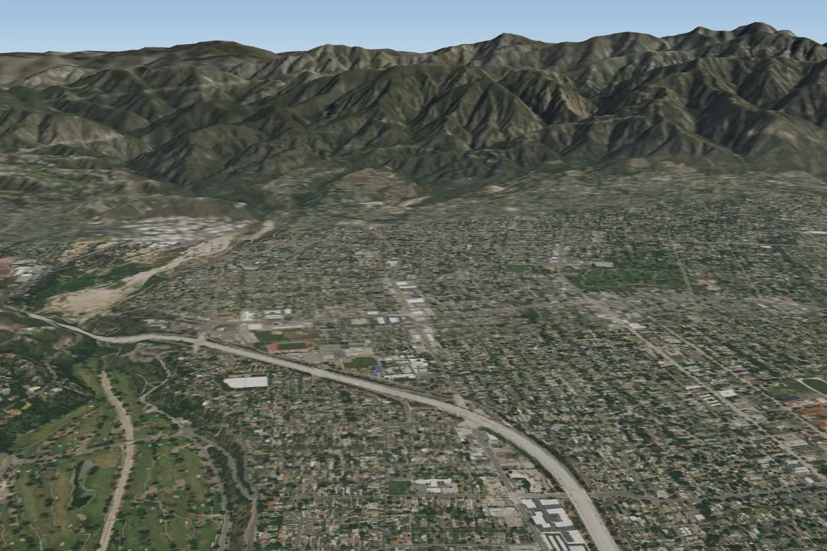 Blackhawk7 km W
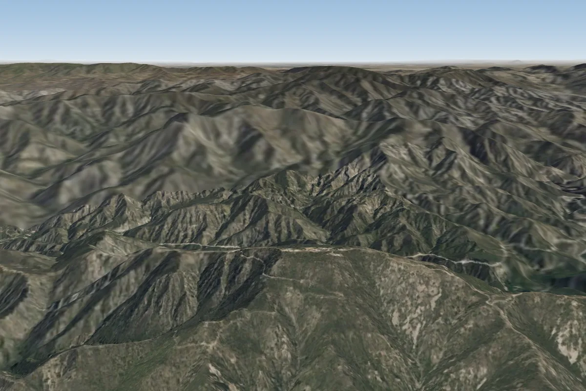 Mount Lukens16 km NWPossible XC from here on a SE day, 16 km downwind
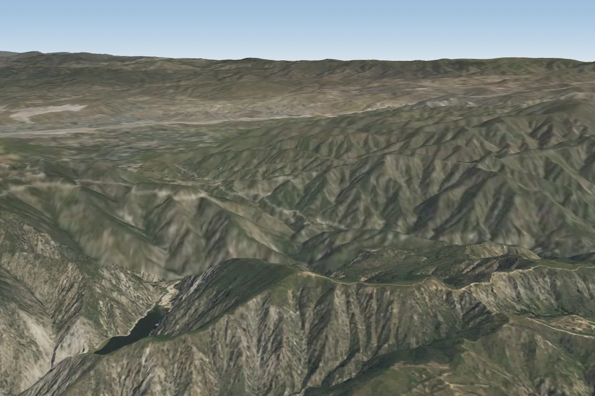 Kagel (Sylmar)32 km NW · Faces S–SWPossible XC from here on a SE day, 32 km downwind
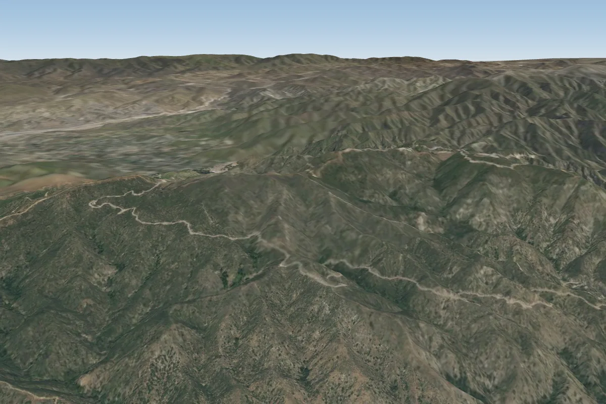 The 150036 km NWPossible XC from here on a SE day, 36 km downwind
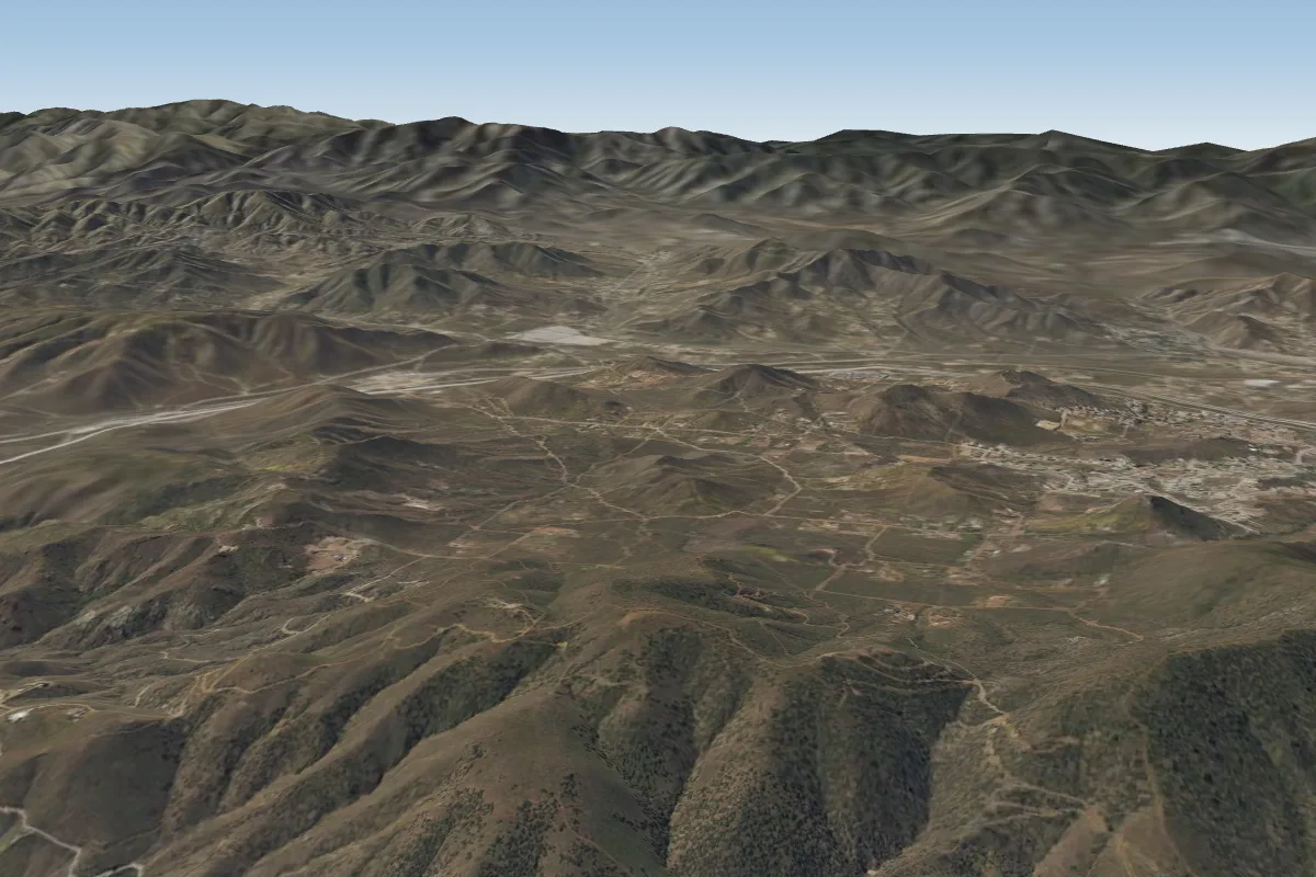 Avenue S38 km N · Faces N–NEWorks in other winds
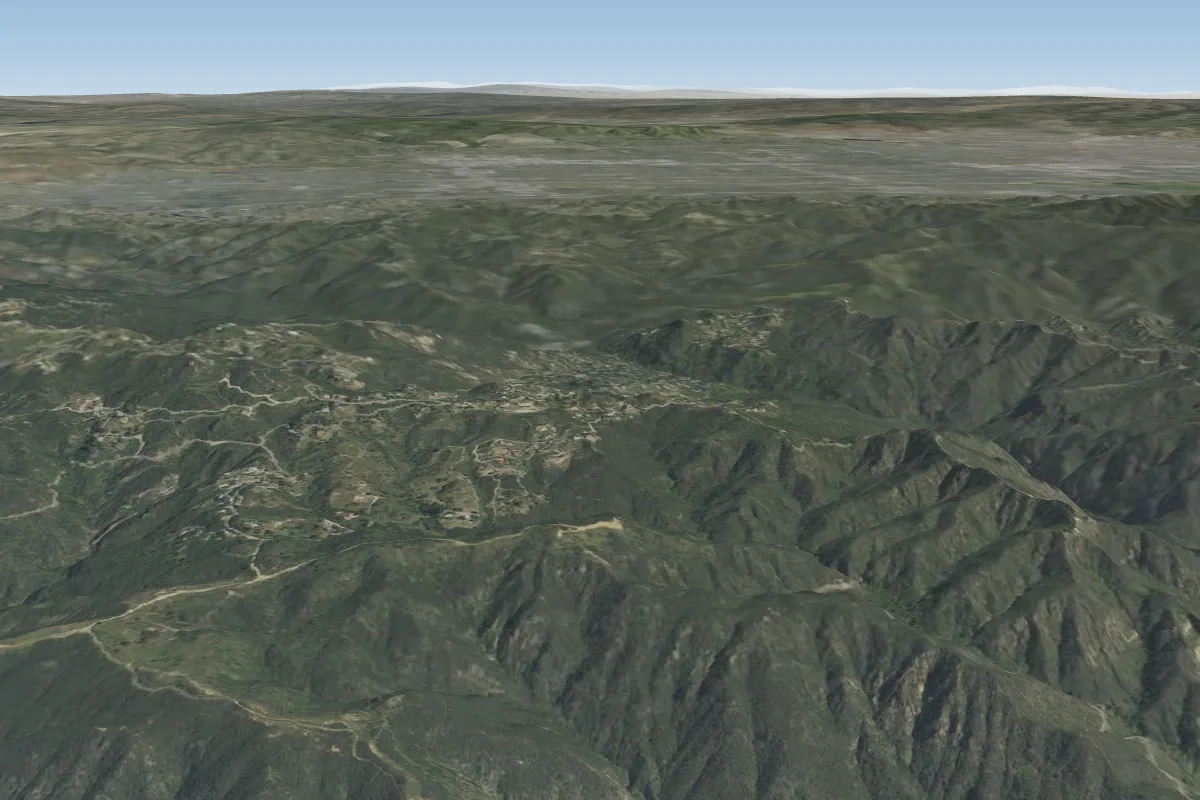 Tuna Canyon50 km W
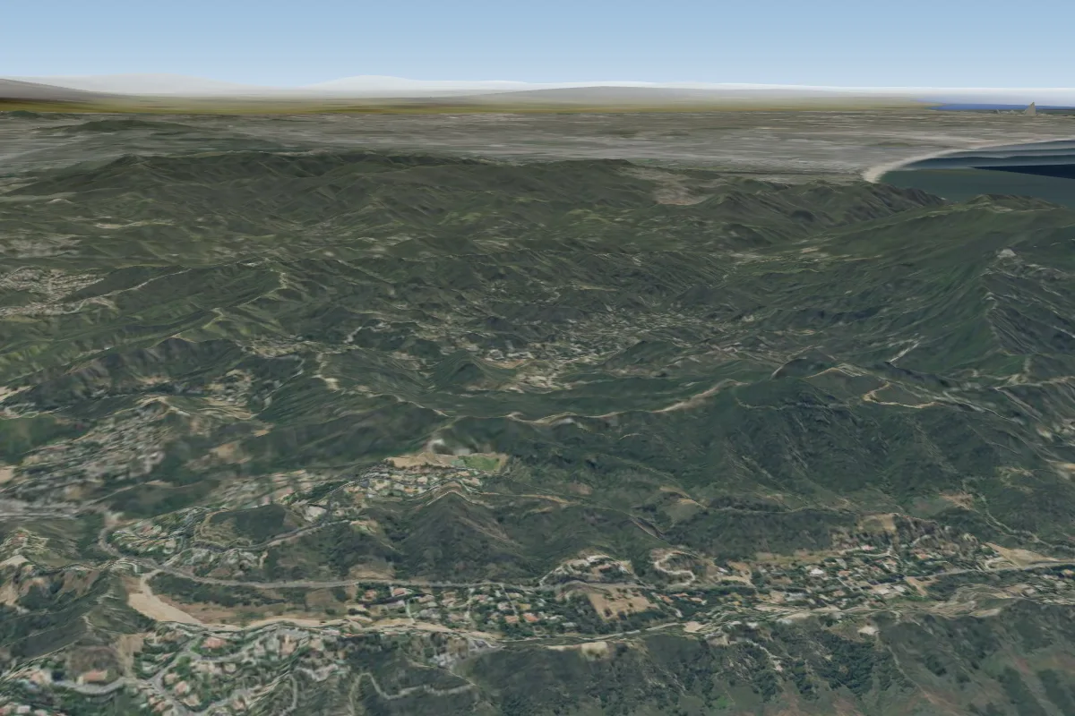 Calabasas53 km W · Faces W
Pilot notes
No notes yet. Flown Henninger Flats - No Safe Local LZ? Tell the next pilot what to expect.
Pilot notes on Henninger Flats - No Safe Local LZ
Flying Henninger Flats - No Safe Local LZ?
Takeoff, landing, rules, the hour by hour forecast and live wind are in the site details on the map.
Open site detailsSources
- ParaglidingEarth site record © ParaglidingEarth contributors (CC BY-SA)