Kagel (Sylmar)
S to SW facing ridge site · 1,057 m takeoff · 642 m height gain
Overview
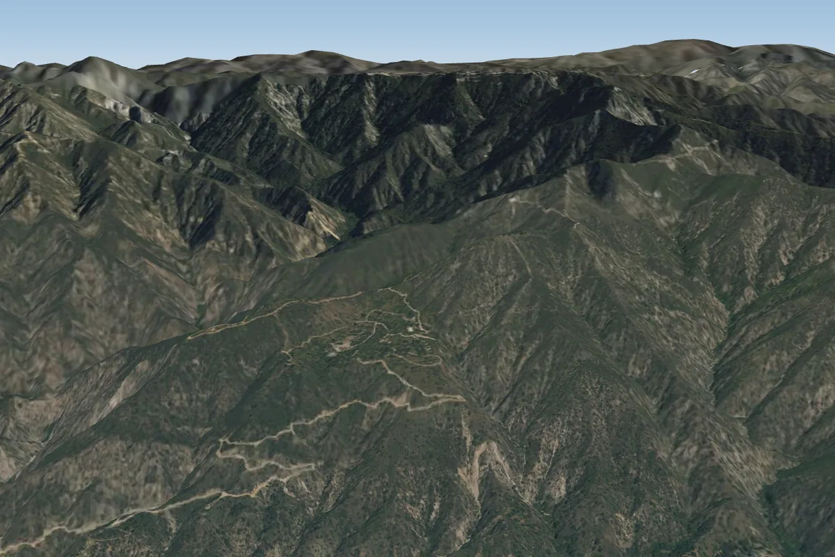
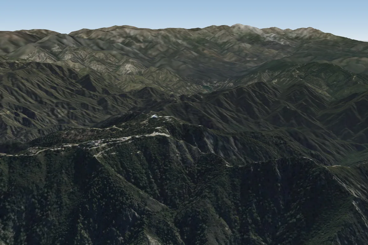
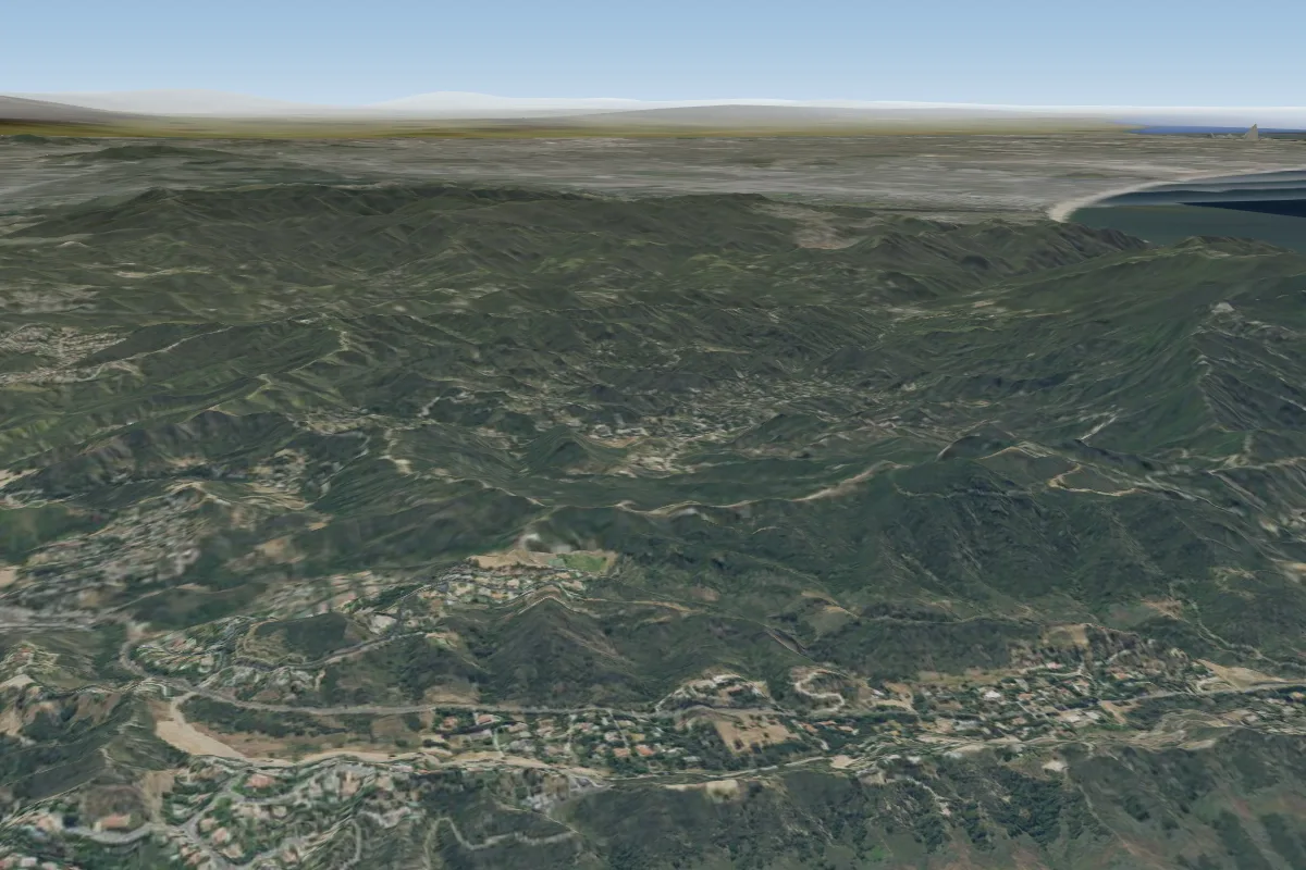
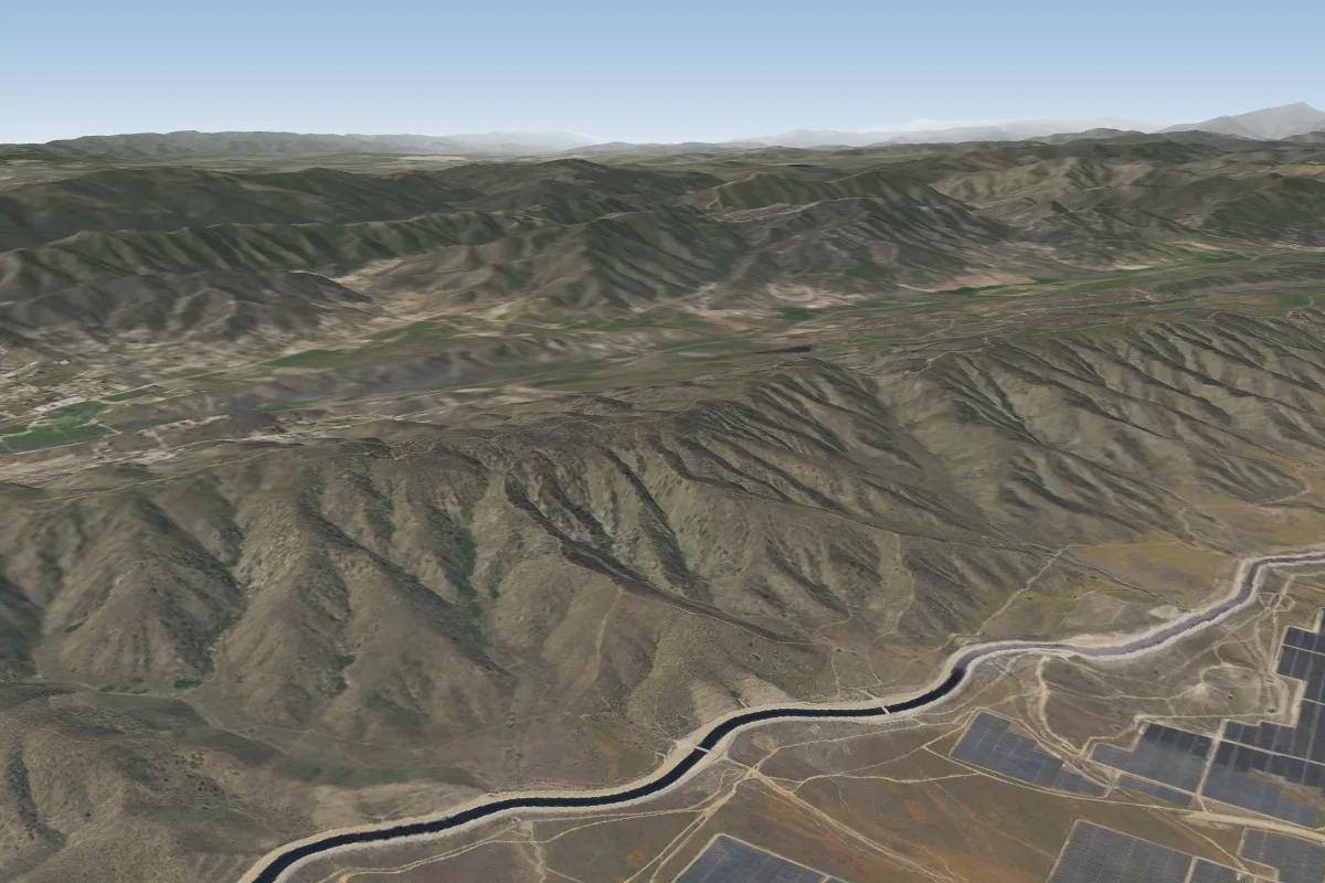
Kagel (Sylmar) is a mountain site in United States with a recorded launch elevation of 1,057 m. It works best in southerly and south-westerly winds, and can also work in south-easterly and westerly winds. Pilots fly it for ridge soaring and thermal, using foot launch. It is recorded as suitable for cross-country flights.
- Strong thermals along the spine to the right of launch. Site dangers: http://www.shga.com/dangeroussiteinfo.asp Other Kagel websites: Jerome Daoust: http://www.expandingknowledge.com/Jerome/PG/Site/Kagel/Main.htm Source: ParaglidingEarth
When to go
Flyable days per month in a typical year.
Flyable days for Kagel (Sylmar) are on the way. We are scoring ten years of weather for every site, month by month, against this site, its region and the sites around it.
Getting there
Nearest airports
- BUR Hollywood Burbank/Bob Hope Airport15 km
- LAX Los Angeles International Airport44 km
- HHR Jack Northrop Field Hawthorne Municipal Airport46 km
Things to do
For the days the wind is wrong: places worth a visit within 10 km of Kagel (Sylmar).
 Griffith RanchCulture · 5.4 km awayCalifornia historic landmark
 San Fernando Pioneer Memorial CemeteryCulture · 6 km awayHistoric cemetery in Los Angeles, US
 Sylmar/San Fernando stationOutdoors · 7.5 km awayMetrolink stop in the northeast San Fernando Valley
 López AdobeCulture · 7.8 km awayHistoric house in California, United States
 Magic Mountain (California)Outdoors · 7.8 km awayMountain in California, United States
 Hansen DamOutdoors · 8.1 km awayDam in San Fernando Valley
 San Fernando Mission CemeteryCulture · 9.7 km awayHistoric cemetery in Mission Hills, Los Angeles, California
 Convento Building (Mission San Fernando)Culture · 9.7 km awayUnited States historic place
Flying nearby
See them on the map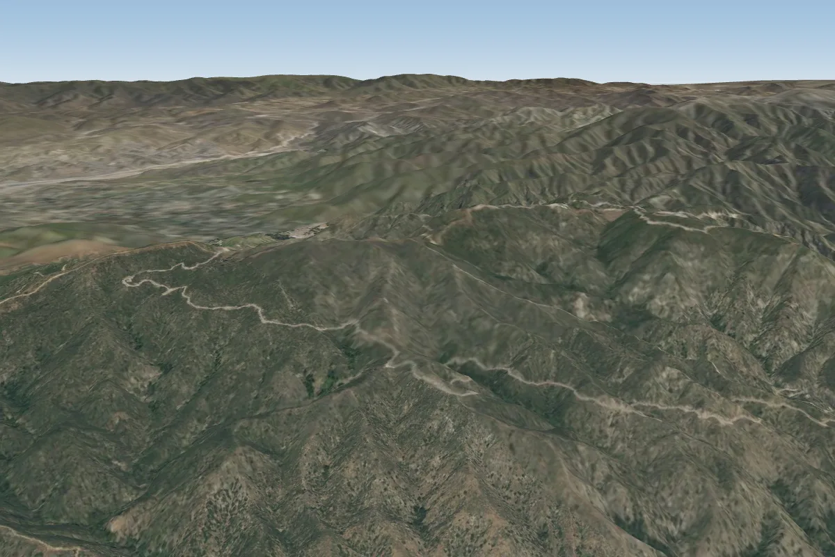
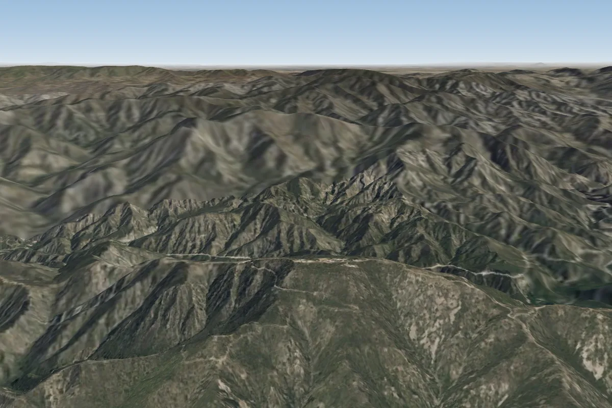
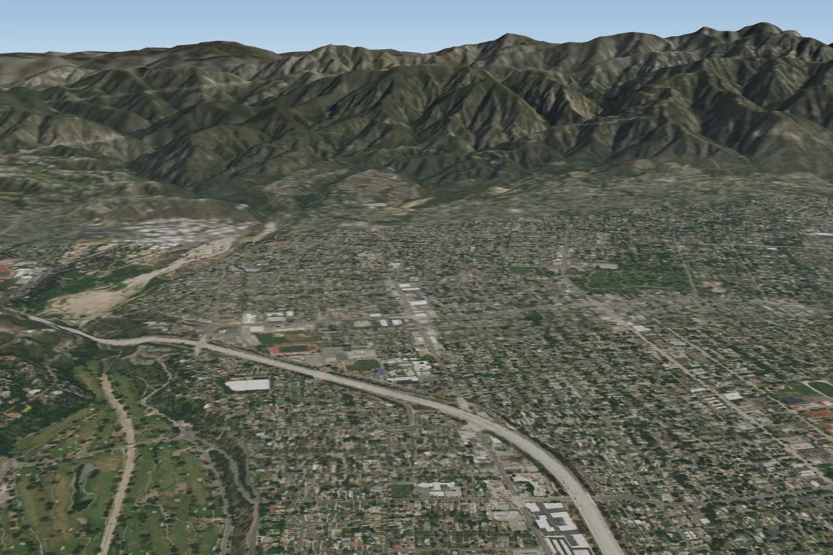
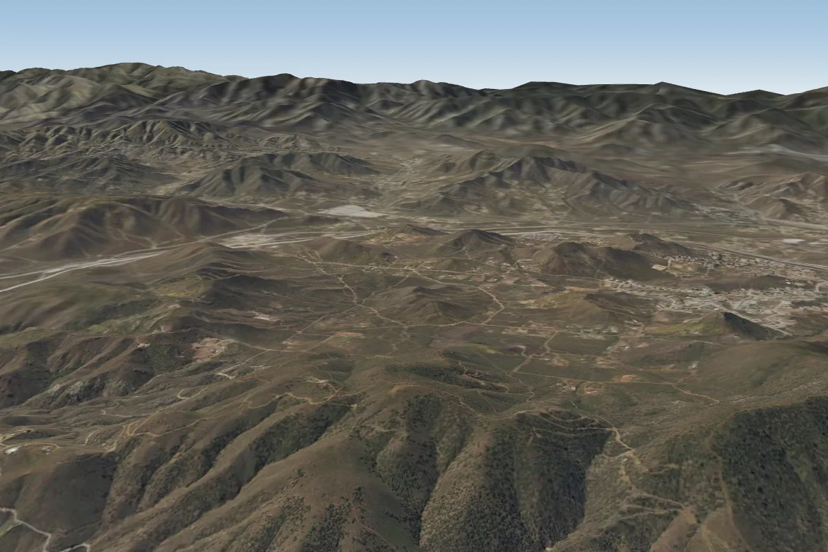
Pilot notes
No notes yet. Flown Kagel (Sylmar)? Tell the next pilot what to expect.
Pilot notes on Kagel (Sylmar)
Flying Kagel (Sylmar)?
Takeoff, landing, rules, the hour by hour forecast and live wind are in the site details on the map.
Open site detailsSources
- ParaglidingEarth site record © ParaglidingEarth contributors (CC BY-SA)