Avon Hang Gliding and Paragliding Club
Manages the site
W to N facing ridge site · 198 m takeoff · 75 m height gain
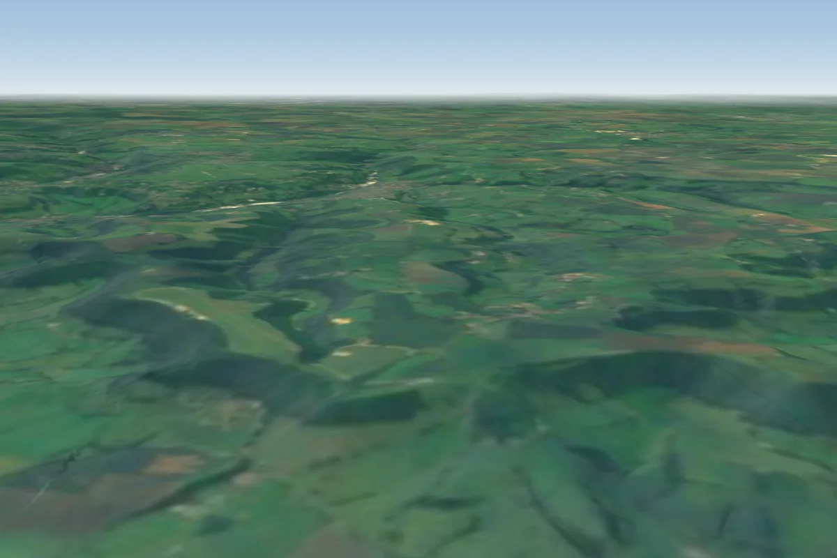
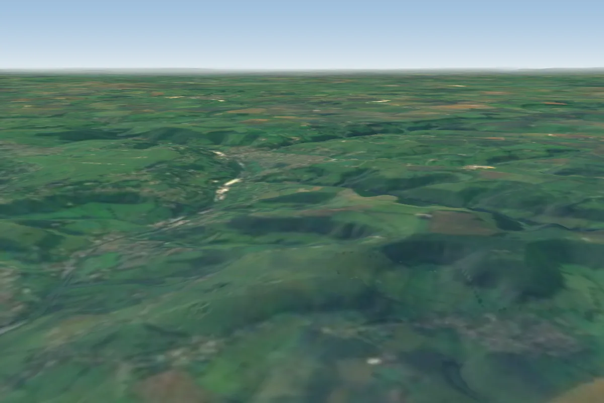
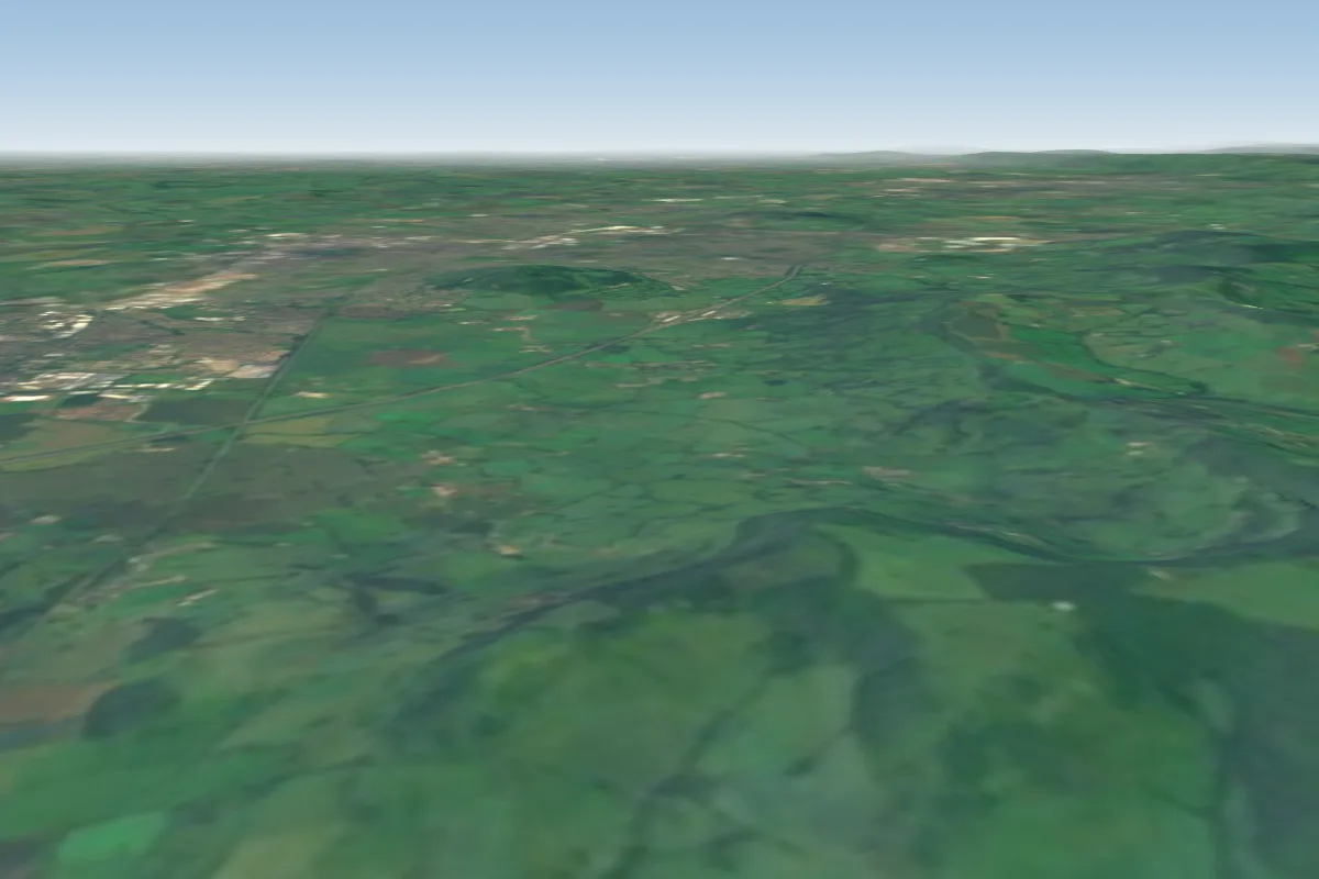
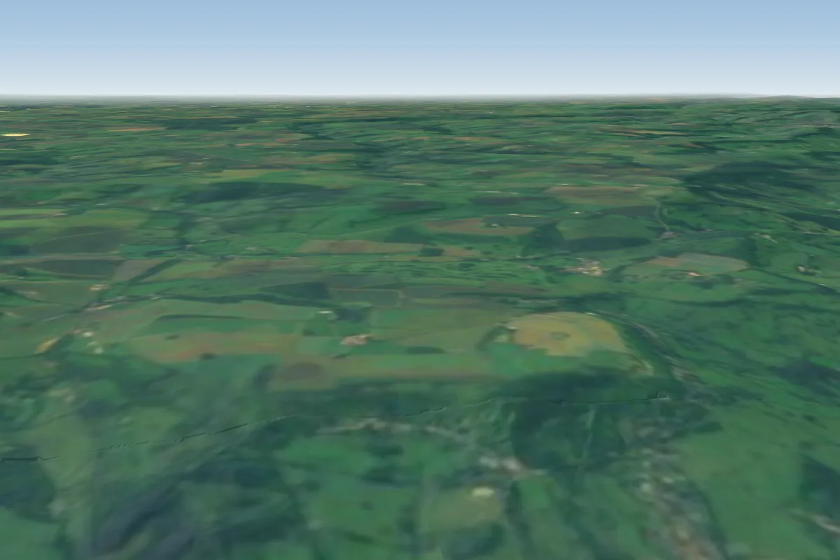
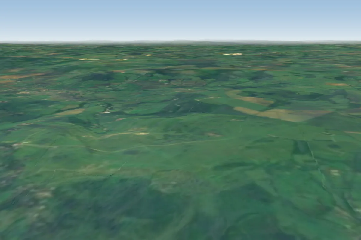
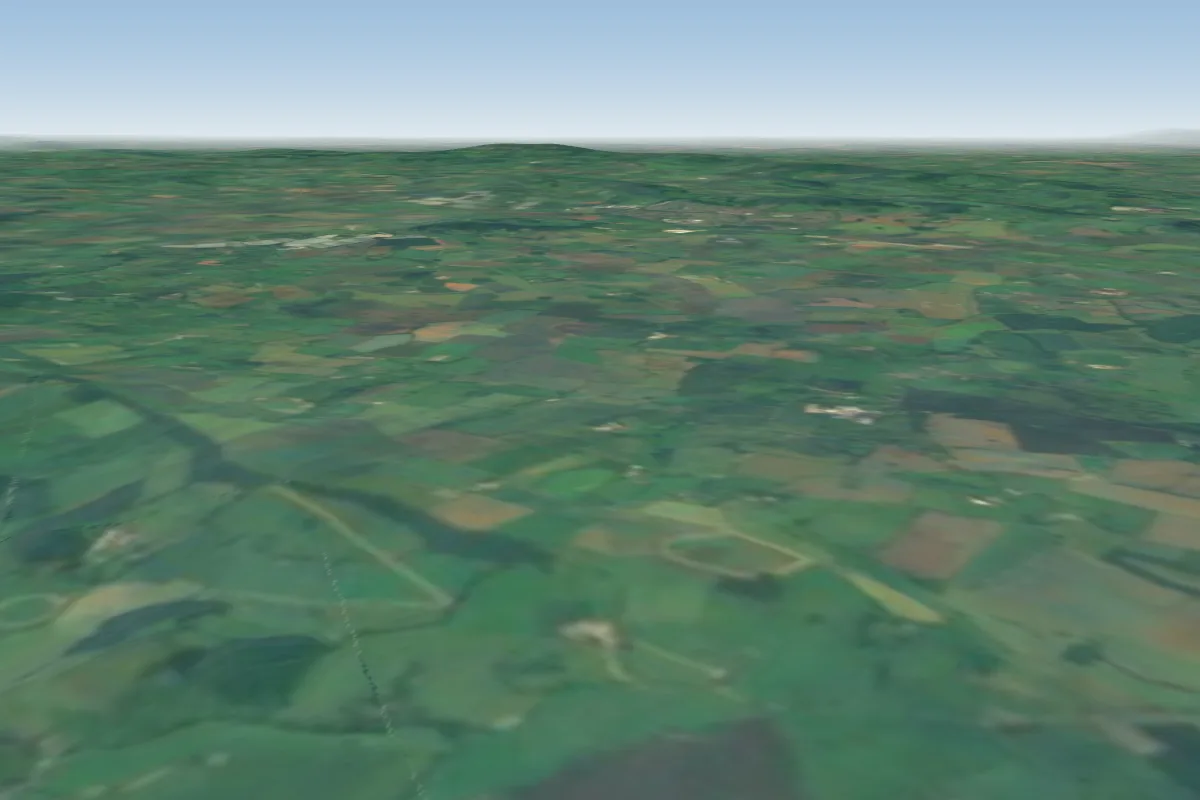
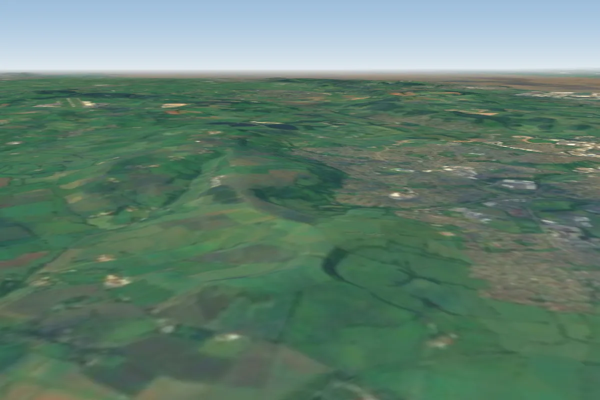
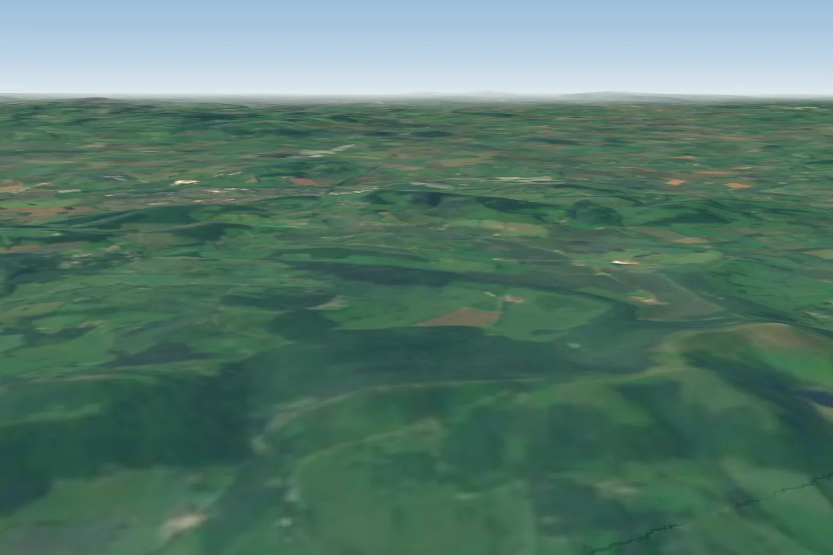
Cam Long Down is a hill site in Bristol / Mendips / Cotswolds with a recorded launch elevation of 198 m. It works best in northerly, westerly and north-westerly winds. Pilots fly it for ridge soaring and thermal, using foot launch.
Manages the site
Flyable days per month in a typical year.
Flyable days for Cam Long Down are on the way. We are scoring ten years of weather for every site, month by month, against this site, its region and the sites around it.
The nearest towns, for a bed, food and a lift to takeoff.
For the days the wind is wrong: places worth a visit within 10 km of Cam Long Down.
 Uley BuryCulture · 1.4 km awayHill fort in Gloucestershire, England
 St George's Church, CamCulture · 1.5 km awayChurch in Gloucestershire, England
 Cam Congregational ChurchCulture · 1.6 km awayChurch in Gloucestershire, England
 Lister HallCulture · 2.1 km awayTheatre in Dursley, Gloucestershire, United Kingdom
 Coaley PeakOutdoors · 2.8 km awayPicnic site and viewpoint in Gloucestershire, England
 Woodchester Park SSSIOutdoors · 4.1 km awayNature reserve in Gloucestershire, England
 Five Acre GroveOutdoors · 5.2 km awayNature reserve in Gloucestershire, England
 Wotton-under-Edge BT TowerCulture · 5.3 km awayTelecommunications tower in Wotton-under-Edge, Gloucestershire, England
No notes yet. Flown Cam Long Down? Tell the next pilot what to expect.
Takeoff, landing, rules, the hour by hour forecast and live wind are in the site details on the map.
Open site details