Avon Hang Gliding and Paragliding Club
Manages the site
North-west-facing ridge site · 202 m takeoff
Selsley Common is a hill site in Bristol / Mendips / Cotswolds with a recorded launch elevation of 202 m. It works best in north-westerly winds, and can also work in northerly winds. Pilots fly it for ridge soaring and thermal, using foot launch. It is recorded as suitable for cross-country flights.
Manages the site
Flyable days per month in a typical year.
Flyable days for Selsley Common are on the way. We are scoring ten years of weather for every site, month by month, against this site, its region and the sites around it.
The nearest towns, for a bed, food and a lift to takeoff.
For the days the wind is wrong: places worth a visit within 10 km of Selsley Common.
 All Saints Church, SelsleyCulture · 0.7 km awayChurch
 Woodchester Roman VillaCulture · 1.2 km awayRoman villa in Gloucestershire, England
 Stanley MillsCulture · 1.9 km away19th century woollen mill in England
 Neu-Lindsey Nature ReserveOutdoors · 2.5 km awayNature reserve in Gloucestershire, England
 Woodchester Park SSSIOutdoors · 2.6 km awayNature reserve in Gloucestershire, England
 Frome BanksOutdoors · 2.9 km awayNature reserve in Gloucestershire, England
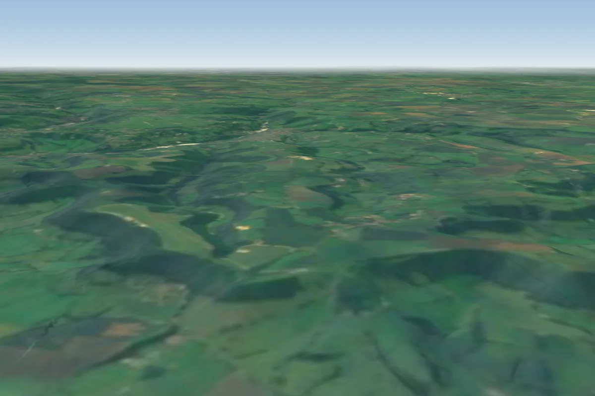 Frocester4 km SW · Faces WWorks in other winds
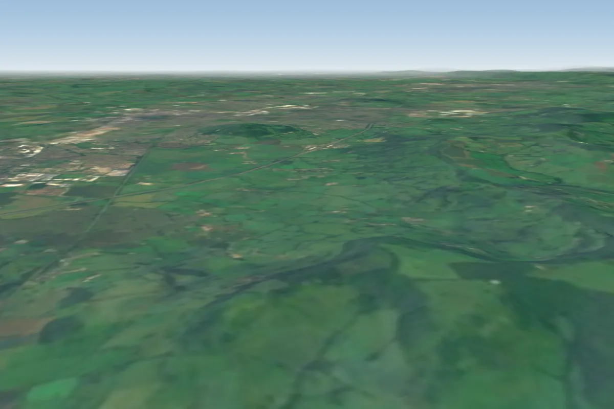 Haresfield6 km N · Faces SWWorks in other winds
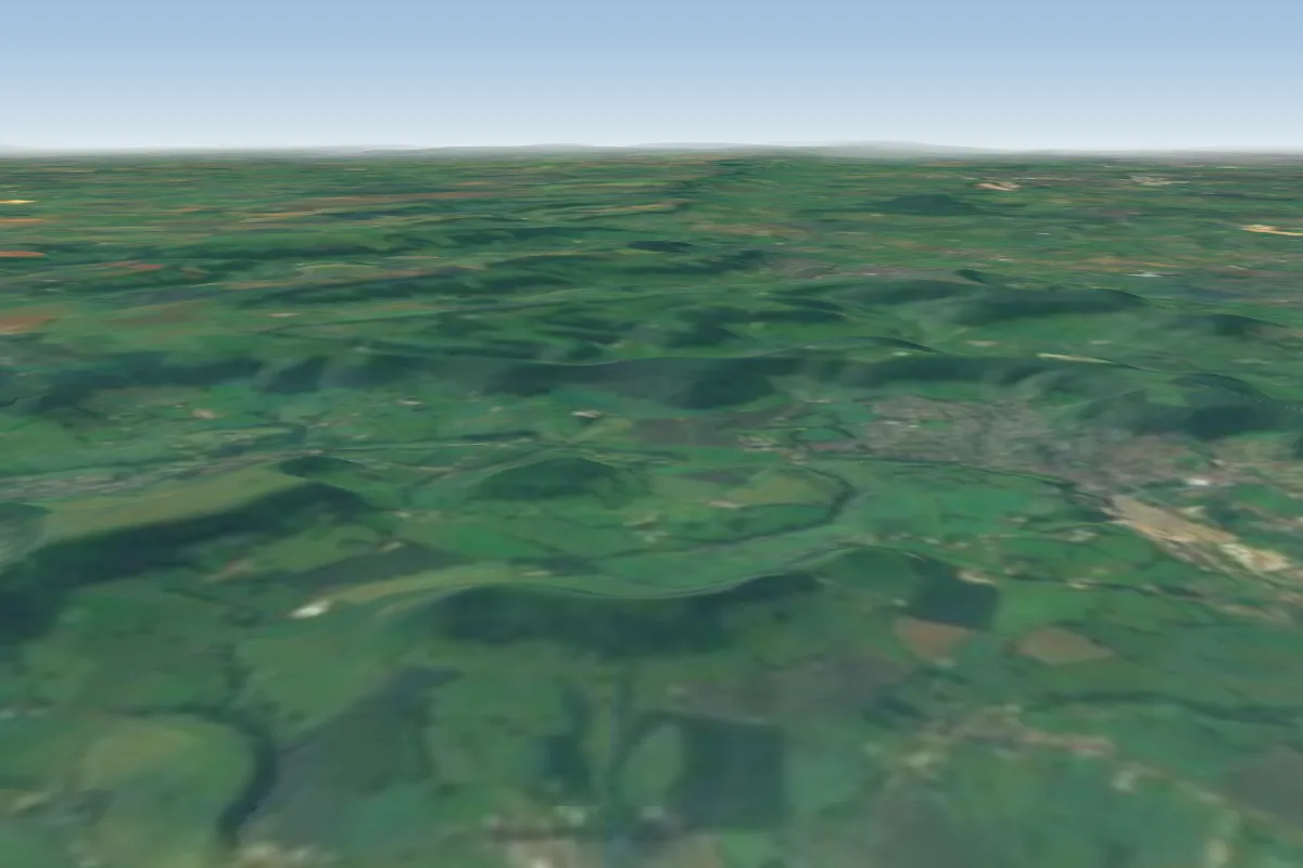 Cam Long Down7 km SW · Faces W–NWorks in other winds
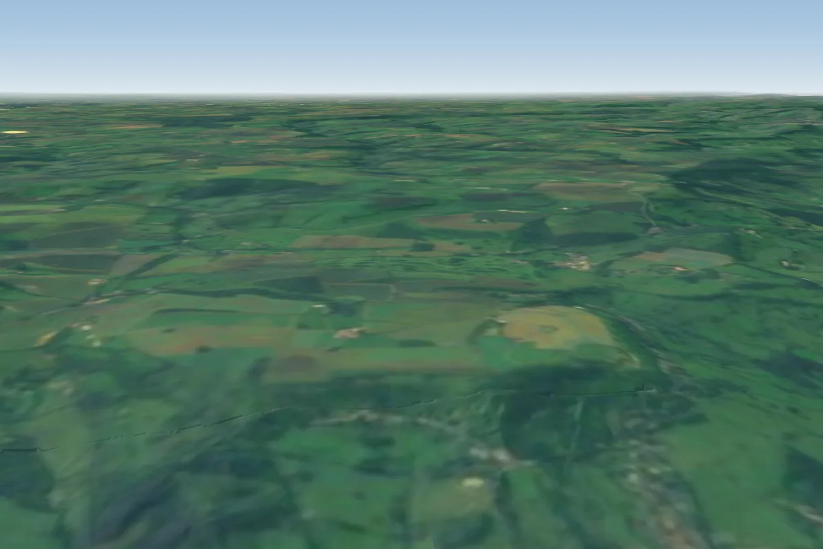 Leckhampton Hill20 km NE · Faces N
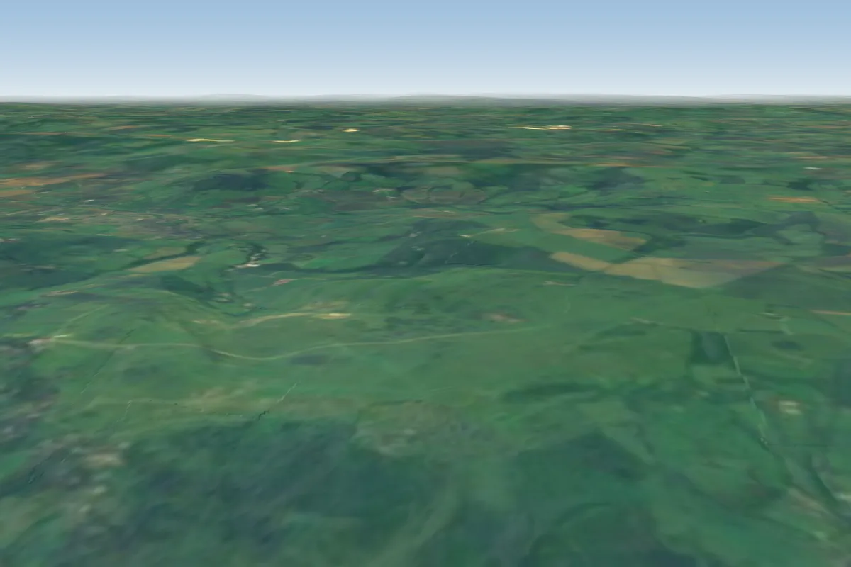 Cleeve Hill27 km NE
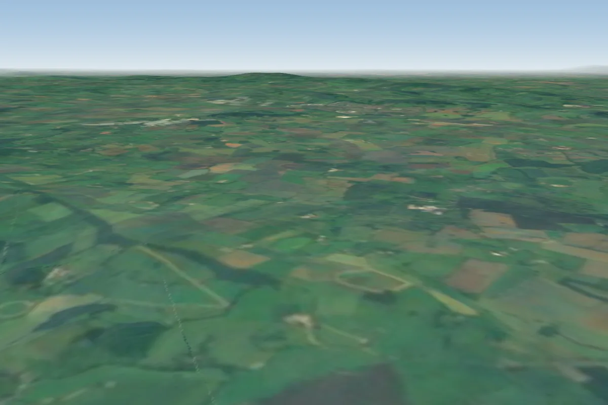 Much Marcle36 km NW
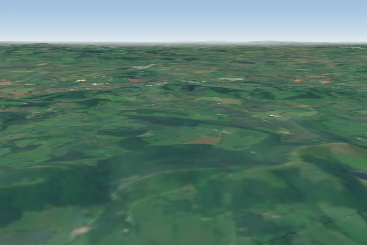 Castle Morton36 km N · Faces EWorks in other winds
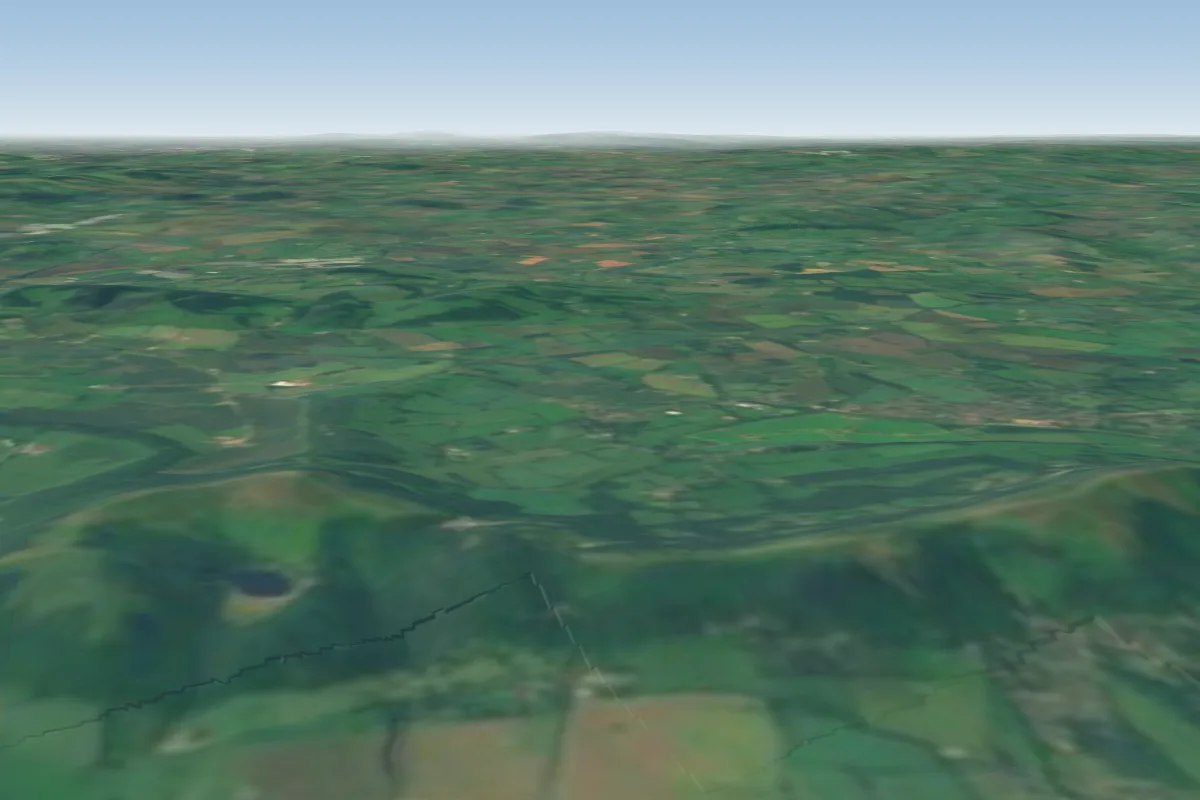 Black Hill38 km N · Faces EWorks in other winds
No notes yet. Flown Selsley Common? Tell the next pilot what to expect.
Takeoff, landing, rules, the hour by hour forecast and live wind are in the site details on the map.
Open site details