Anderson Flat
South-facing site · 1,640 m takeoff · 590 m height gain
Overview
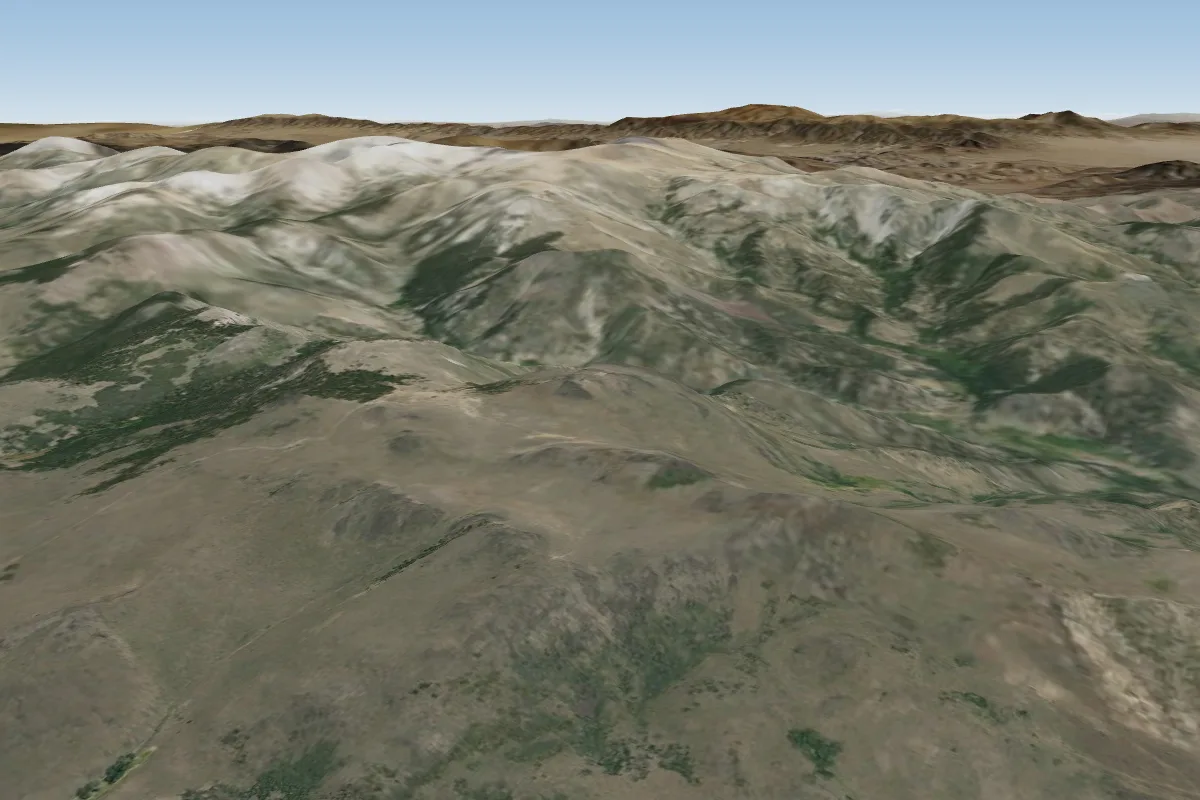
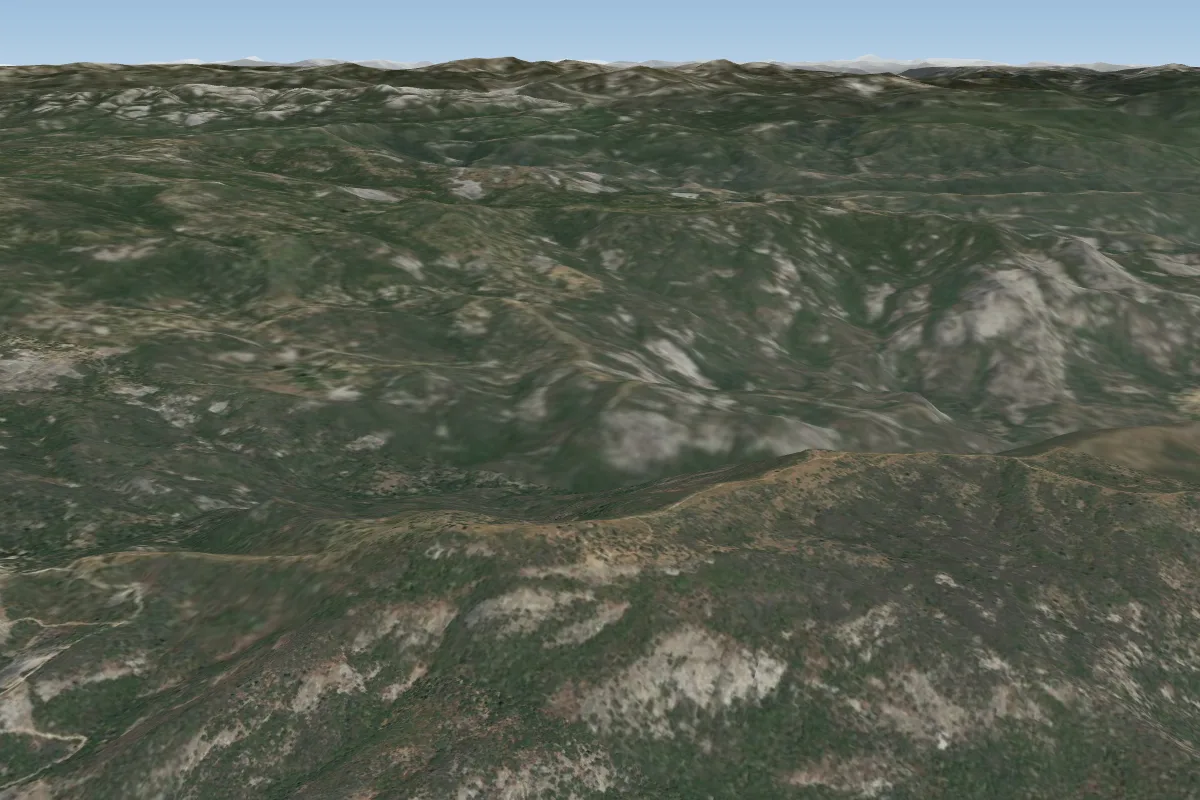
Anderson Flat is a flying site in United States with a recorded launch elevation of 1,640 m. It works best in southerly winds, and can also work in south-easterly and south-westerly winds.
- Beautiful Site. It is possible to come up short of the LZ, and there are limited options for bailing out. When in doubt, head out. LZ is punchy and thermic mid-day, especially in summer. The recent Rim Fire may have changed things. Source: ParaglidingEarth
When to go
Flyable days per month in a typical year.
Flyable days for Anderson Flat are on the way. We are scoring ten years of weather for every site, month by month, against this site, its region and the sites around it.
Getting there
Nearest airports
- MCE Merced Regional Macready Field75 km
- MMH Mammoth Yosemite Airport96 km
- FAT Fresno Yosemite International Airport111 km
Where to stay
The nearest towns, for a bed, food and a lift to takeoff.
- Sonora48 km awayBooking.comAirbnb
Things to do
For the days the wind is wrong: places worth a visit within 10 km of Anderson Flat.
 Merced Grove Ranger StationCulture · 7.2 km awayUnited States historic place
 Merced GroveOutdoors · 7.3 km awayGiant sequoia grove in Yosemite National Park, California, United States
 Crane Flat Fire LookoutOutdoors · 8.7 km awayFire lookout in Yosemite National Park, USA
 Tuolumne GroveOutdoors · 9.6 km awayGiant sequoia grove in Yosemite National Park, California, United States
- Ackerson MountainOutdoors · 9.6 km awayMountain in California, United States
Flying nearby
See them on the map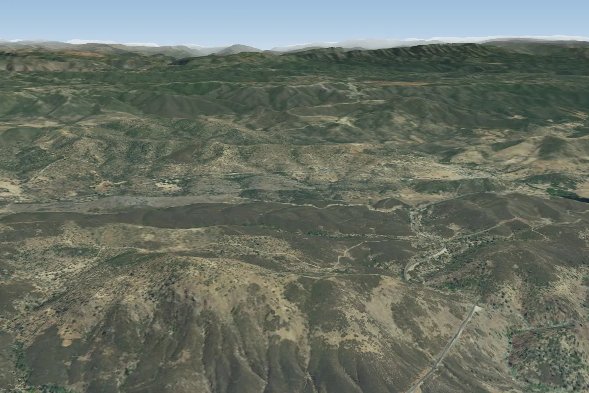
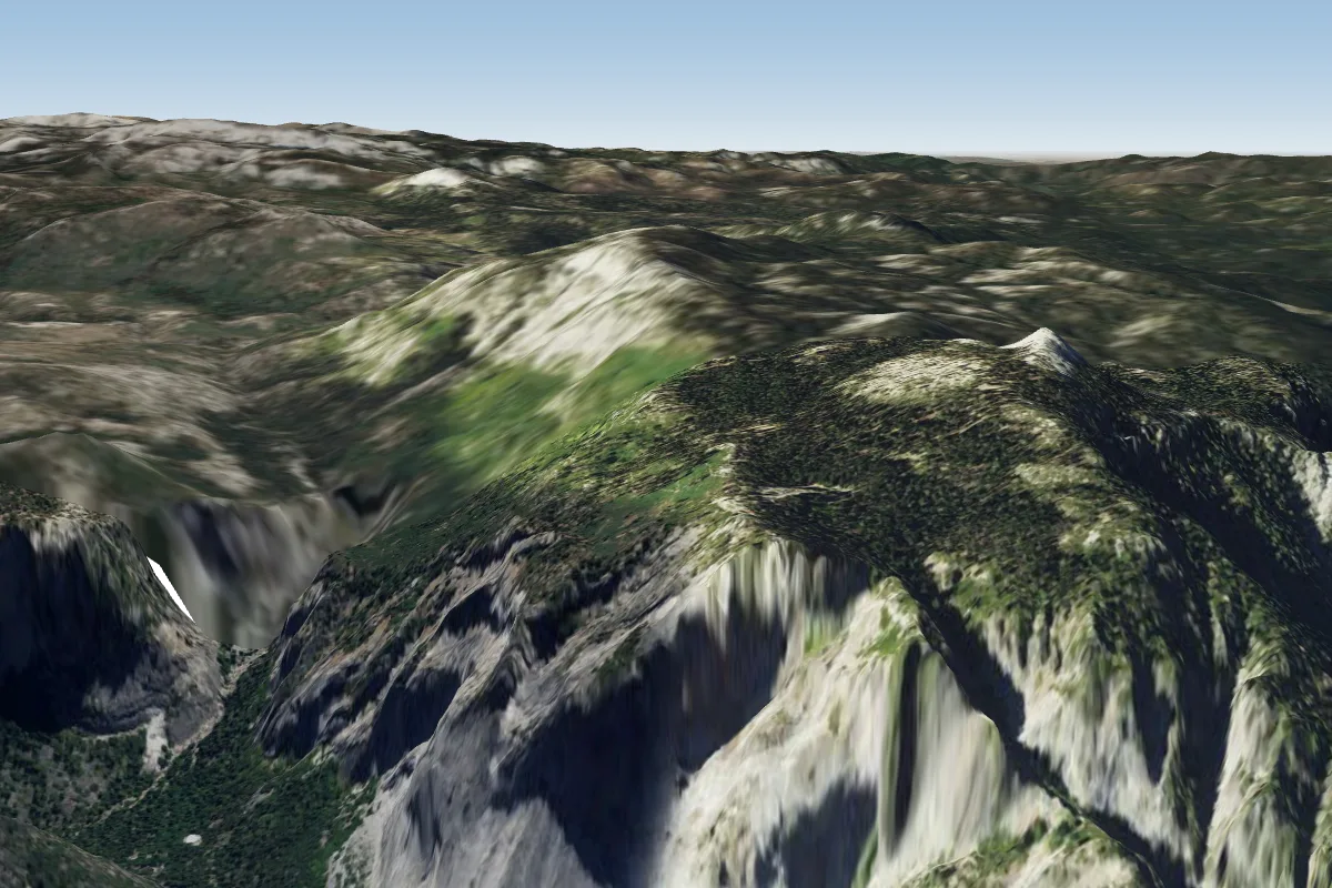
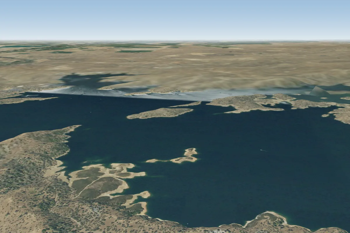
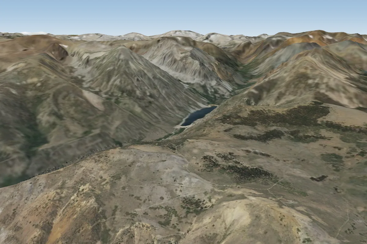
Pilot notes
No notes yet. Flown Anderson Flat? Tell the next pilot what to expect.
Pilot notes on Anderson Flat
Flying Anderson Flat?
Takeoff, landing, rules, the hour by hour forecast and live wind are in the site details on the map.
Open site detailsSources
- ParaglidingEarth site record © ParaglidingEarth contributors (CC BY-SA)