Yosemite (Glacier point) (no PG)
Site · 2,043 m takeoff
Overview
Yosemite (Glacier point) (no PG) is a flying site in United States with a recorded launch elevation of 2,043 m. No launch directions are recorded yet.
When to go
Flyable days per month in a typical year.
Flyable days for Yosemite (Glacier point) (no PG) are on the way. We are scoring ten years of weather for every site, month by month, against this site, its region and the sites around it.
Getting there
Nearest airports
- MMH Mammoth Yosemite Airport65 km
- MCE Merced Regional Macready Field97 km
- FAT Fresno Yosemite International Airport107 km
Things to do
For the days the wind is wrong: places worth a visit within 10 km of Yosemite (Glacier point) (no PG).
 Glacier PointOutdoors · 0.2 km awayViewpoint above Yosemite Valley, in California, USA
 Glacier Point Trailside MuseumCulture · 0.2 km awayUnited States historic place
 Panorama TrailOutdoors · 0.4 km awayHiking trail in Yosemite National Park, California, US
 Staircase FallsOutdoors · 0.7 km awayWaterfall in Yosemite National Park, California, US
 Happy IslesOutdoors · 1.1 km awaySmall group of isles in the Merced River, Yosemite National Park
 LeConte Memorial LodgeCulture · 1.3 km awayUnited States historic place
 Sentinel DomeOutdoors · 1.4 km awayGranite dome in Yosemite National Park, USA
 Sierra Point (Yosemite)Outdoors · 1.5 km awayPoint in Yosemite National Park at the eastern end of the valley
Flying nearby
See them on the map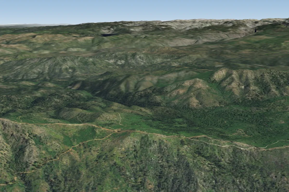
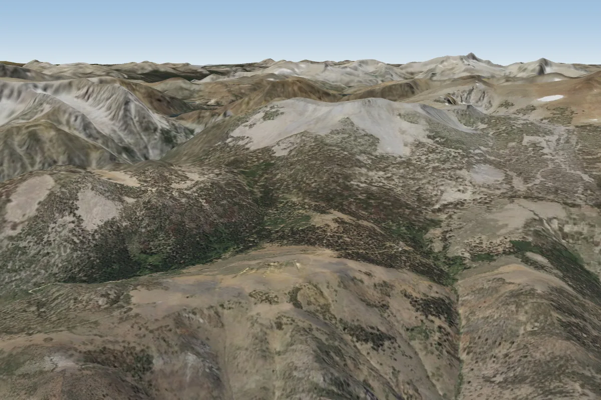
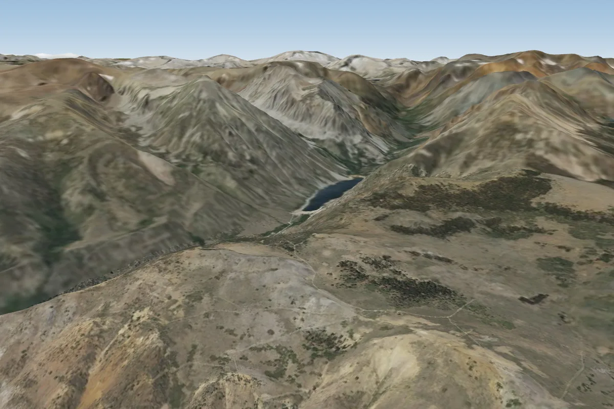
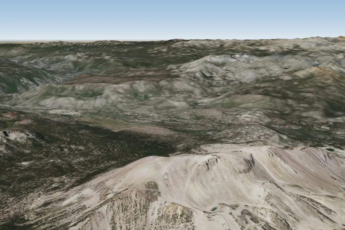
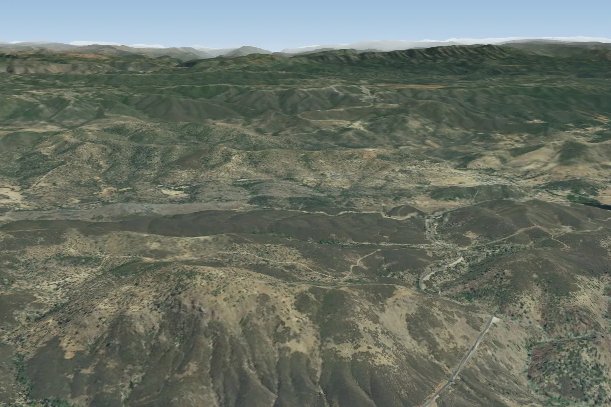
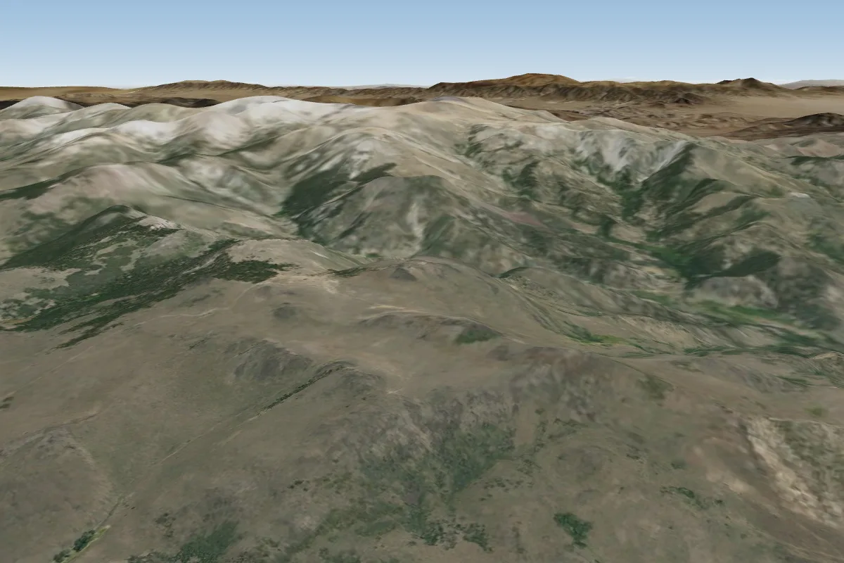
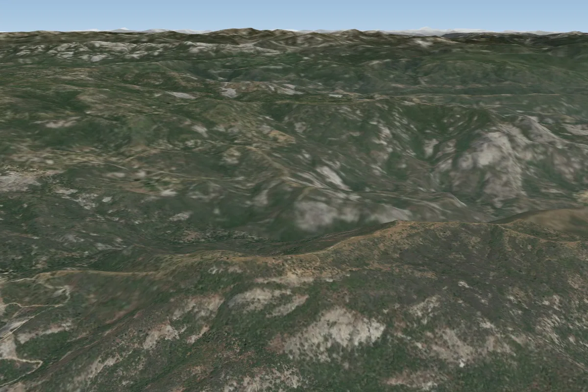
Pilot notes
No notes yet. Flown Yosemite (Glacier point) (no PG)? Tell the next pilot what to expect.
Pilot notes on Yosemite (Glacier point) (no PG)
Flying Yosemite (Glacier point) (no PG)?
Takeoff, landing, rules, the hour by hour forecast and live wind are in the site details on the map.
Open site detailsSources
- ParaglidingEarth site record © ParaglidingEarth contributors (CC BY-SA)