Copper Mountain
Thermal site · 2,794 m takeoff · 695 m height gain
Overview
Copper Mountain is a mountain site in United States with a recorded launch elevation of 2,794 m. No launch directions are recorded yet. Pilots fly it for thermal, using foot launch. It is recorded as suitable for cross-country flights.
- This is a "Big Air" site. Watch out for West Wind/ Sierra rotor can be serious. Hike to the top of the ridge before launching, thermal block can hide the West Wind. High Altitude, and good XC flights have been done from here. Source: ParaglidingEarth
When to go
Flyable days per month in a typical year.
Flyable days for Copper Mountain are on the way. We are scoring ten years of weather for every site, month by month, against this site, its region and the sites around it.
Getting there
Nearest airports
- MMH Mammoth Yosemite Airport56 km
- BIH Eastern Sierra Regional Airport105 km
- MCE Merced Regional Macready Field144 km
Things to do
For the days the wind is wrong: places worth a visit within 10 km of Copper Mountain.
 Virginia LakesOutdoors · 6.1 km awayLake in the state of California, United States
 Dunderberg PeakOutdoors · 7.1 km awayMountain in California
 Black Mountain (Mono County, California)Outdoors · 7.3 km awayMountain in northern california
 Tioga CrestOutdoors · 8.7 km awayMountain in California, United States
 Excelsior Mountain (Yosemite)Outdoors · 9.9 km awayMountain in northern Yosemite National Park
Flying nearby
See them on the map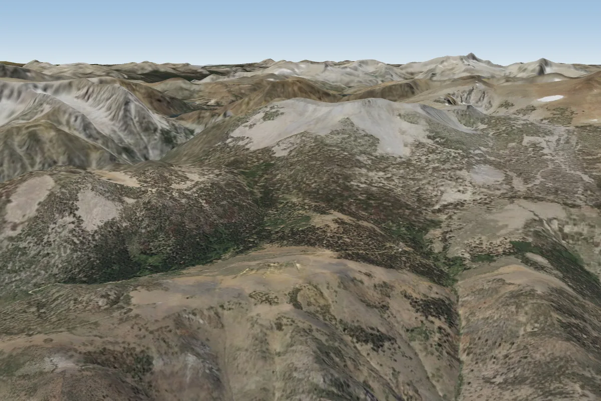 Lee Vining8 km S · Faces EWorks in other winds
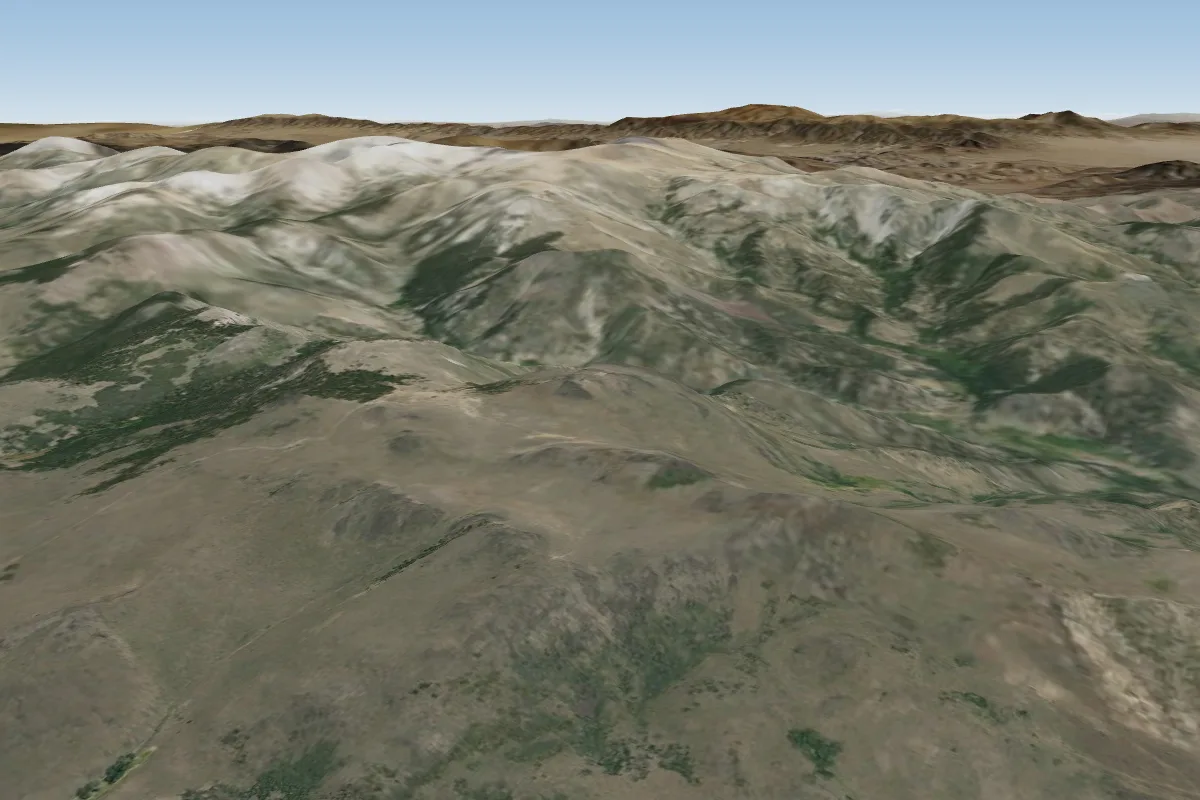 Sweetwater40 km NW
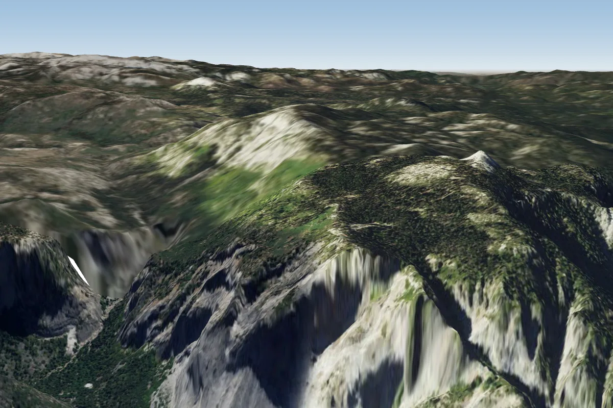 Yosemite (Glacier point) (no PG)48 km SW
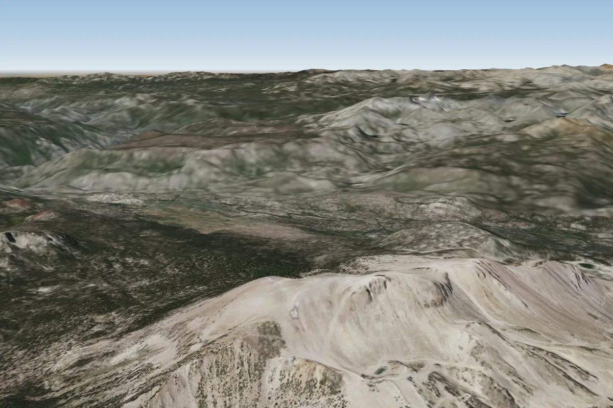 Mammoth49 km S · Faces E–SEWorks in other winds
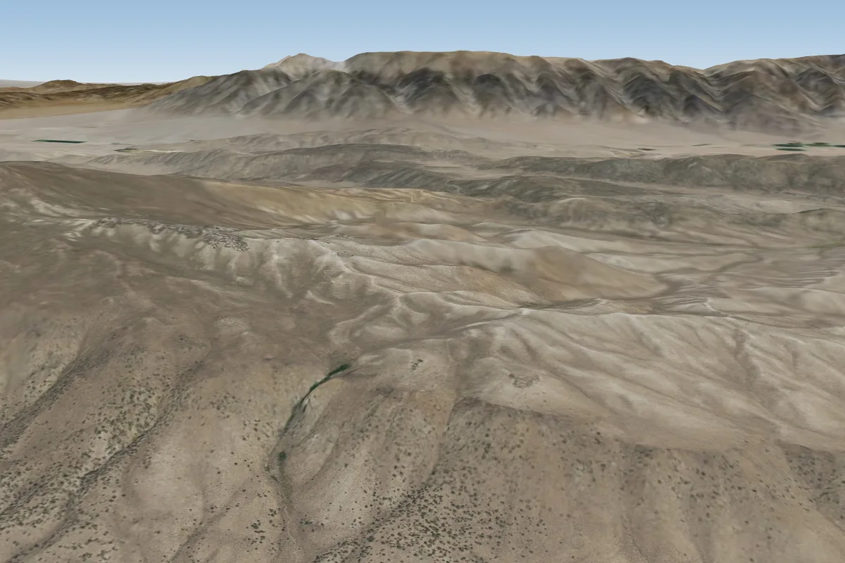 Bria Dog Ridge (Mammoth Lake)60 km SE · Faces WWorks in other winds
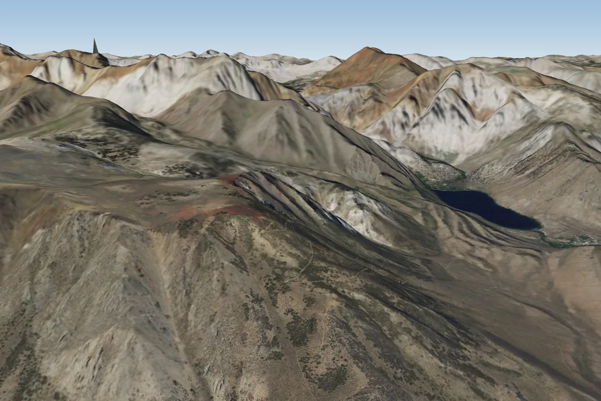 McGee (Owens Valley)61 km SE · Faces NEWorks in other winds
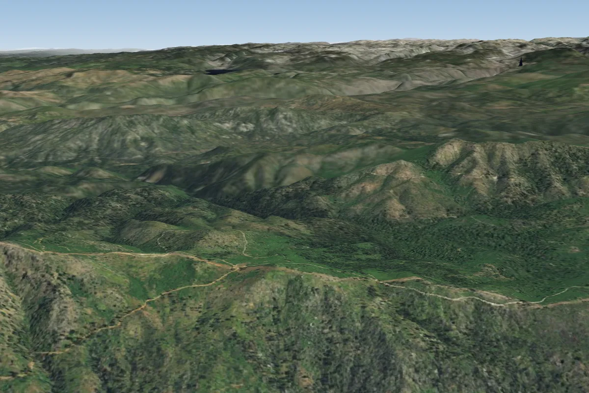 Anderson Flat71 km SW · Faces SWorks in other winds
Pilot notes
No notes yet. Flown Copper Mountain? Tell the next pilot what to expect.
Pilot notes on Copper Mountain
Flying Copper Mountain?
Takeoff, landing, rules, the hour by hour forecast and live wind are in the site details on the map.
Open site detailsSources
- ParaglidingEarth site record © ParaglidingEarth contributors (CC BY-SA)