Lee Vining
East-facing ridge site · 2,952 m takeoff · 892 m height gain
Overview
Lee Vining is a mountain site in United States with a recorded launch elevation of 2,952 m. It works best in easterly winds. Pilots fly it for ridge soaring and thermal, using foot launch.
When to go
Flyable days per month in a typical year.
Flyable days for Lee Vining are on the way. We are scoring ten years of weather for every site, month by month, against this site, its region and the sites around it.
Local weather notes
- Many met links: http://karicastle.com/owens-valley-wx/ Source: ParaglidingEarth
Getting there
Nearest airports
- MMH Mammoth Yosemite Airport48 km
- BIH Eastern Sierra Regional Airport97 km
- MCE Merced Regional Macready Field141 km
Things to do
For the days the wind is wrong: places worth a visit within 10 km of Lee Vining.
 Tioga PeakOutdoors · 7.5 km awayMountain near Yosemite National Park, USA
 Tioga CrestOutdoors · 8.8 km awayMountain in California, United States
 Tioga LakeOutdoors · 9.4 km awayLake in the state of California, United States
 Mount DanaOutdoors · 9.7 km awayMountain in California, United States
 Mono Basin National Scenic AreaOutdoors · 9.9 km awayProtected area in California, United States
- Tioga Pass calderaOutdoors · 9.5 km awayRock formation in Yosemite National Park
Flying nearby
See them on the map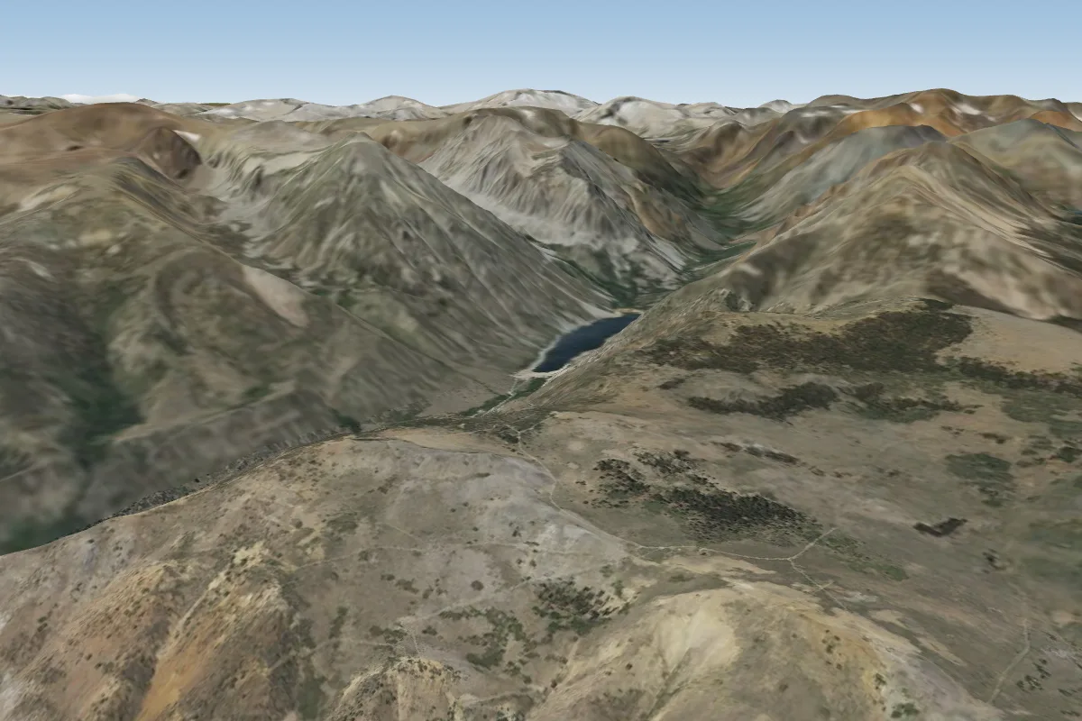 Copper Mountain8 km N
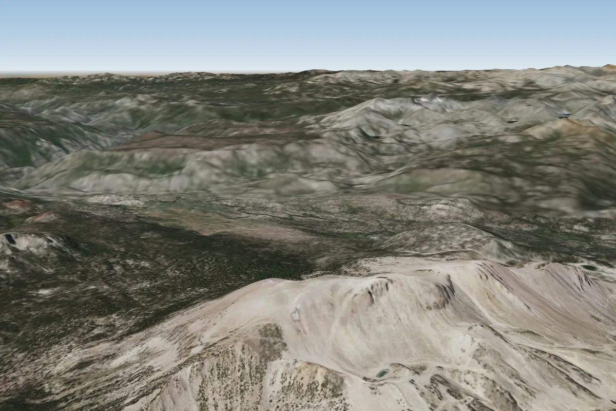 Mammoth41 km S · Faces E–SEWorks in other winds
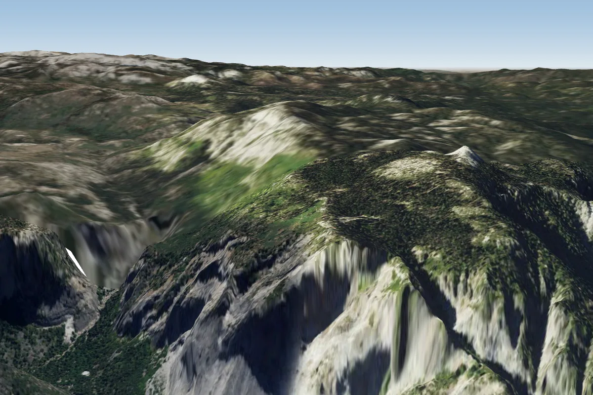 Yosemite (Glacier point) (no PG)45 km SW
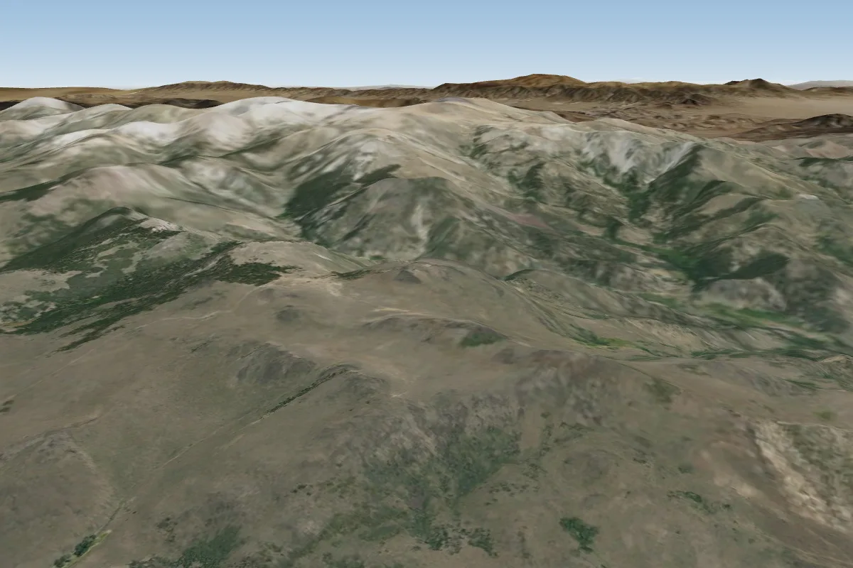 Sweetwater49 km N
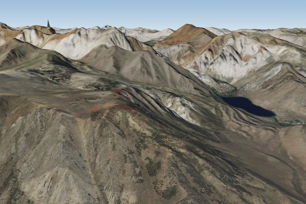 McGee (Owens Valley)53 km SE · Faces NEWorks in other winds
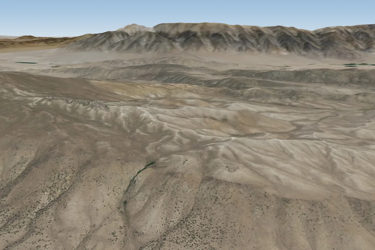 Bria Dog Ridge (Mammoth Lake)53 km SE · Faces WWorks in other winds
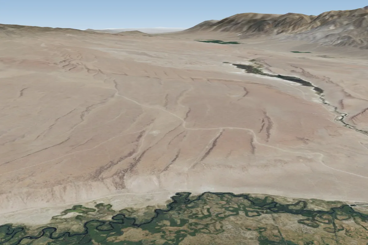 Chalk Bluffs90 km SE · Faces SWorks in other winds
Pilot notes
No notes yet. Flown Lee Vining? Tell the next pilot what to expect.
Pilot notes on Lee Vining
Flying Lee Vining?
Takeoff, landing, rules, the hour by hour forecast and live wind are in the site details on the map.
Open site detailsSources
- ParaglidingEarth site record © ParaglidingEarth contributors (CC BY-SA)